Plizio Visual Lab
Krim
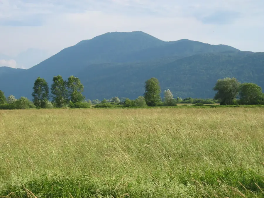
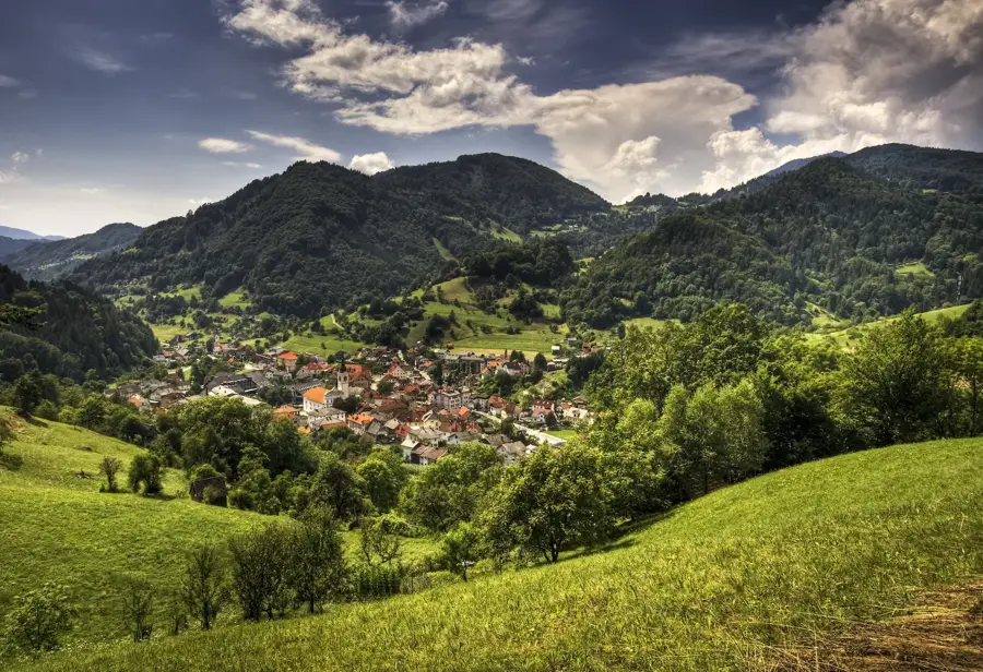
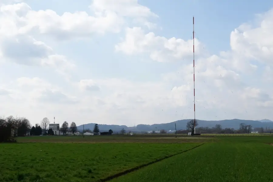
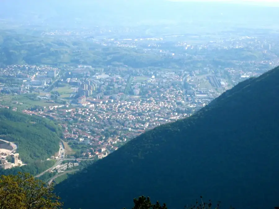
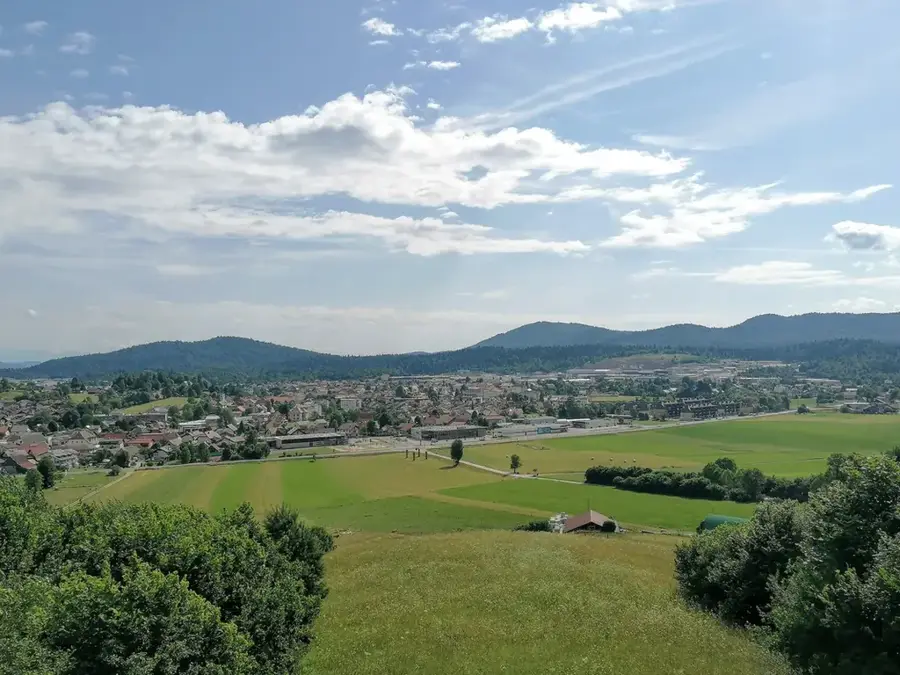
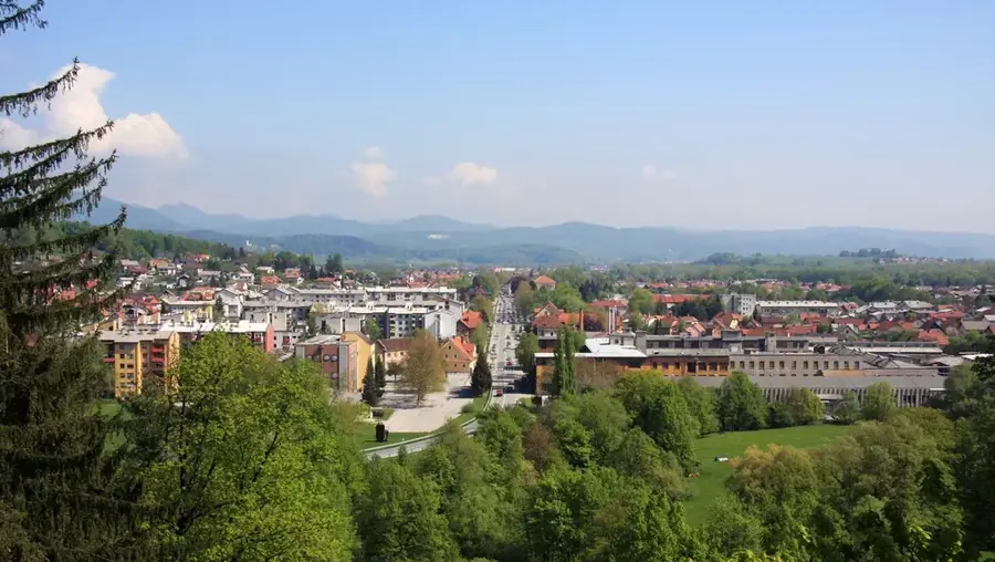
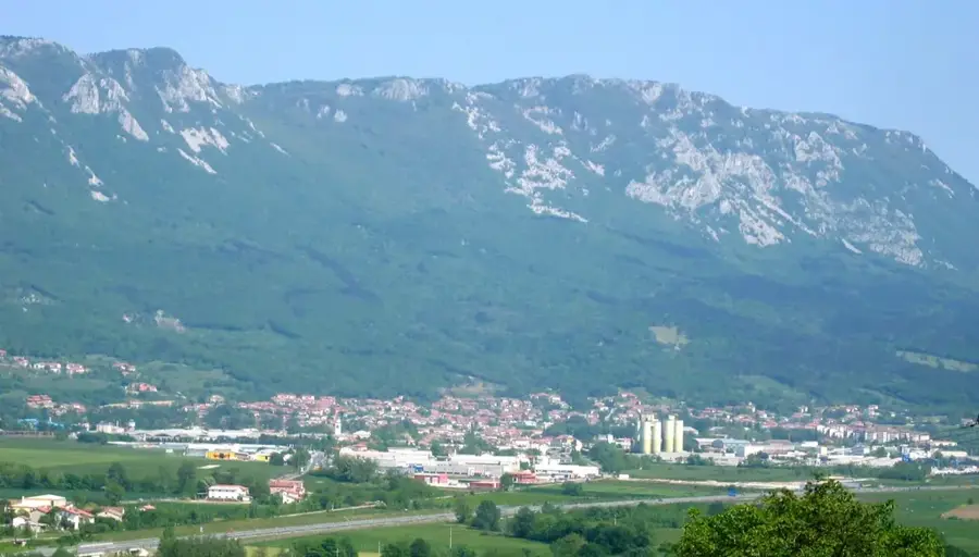
Mount Krim is a prominent peak south of Ljubljana, standing at 1,107 meters, making it the highest point on the edge of the Ljubljana Marshes. Due to its strategic position, it provides one of the best viewpoints in central Slovenia, with vistas stretching from the Alps to Mount Snežnik. During the Cold War, the summit was off-limits to the public due to military installations, but today it is a favorite destination for hikers and mountain bikers. A major television and radio transmitter is located at the top, broadcasting to a large portion of the country. Geologically, Krim belongs to the Dinaric Alps and consists mainly of limestone, typical of the regional karst landscape. Its slopes are blanketed in dense mixed forest, home to diverse wildlife including deer and occasionally brown bears. For residents of Ljubljana, Krim often serves as a natural weather indicator; local lore suggests that when the mountain wears a 'cap' of clouds, rain is on the way.
- Location: Slovenia
- Top sights: Mount Krim · Kamenica · Sv. Jakob, Strahomer (Jakobova pot: KT – žig)
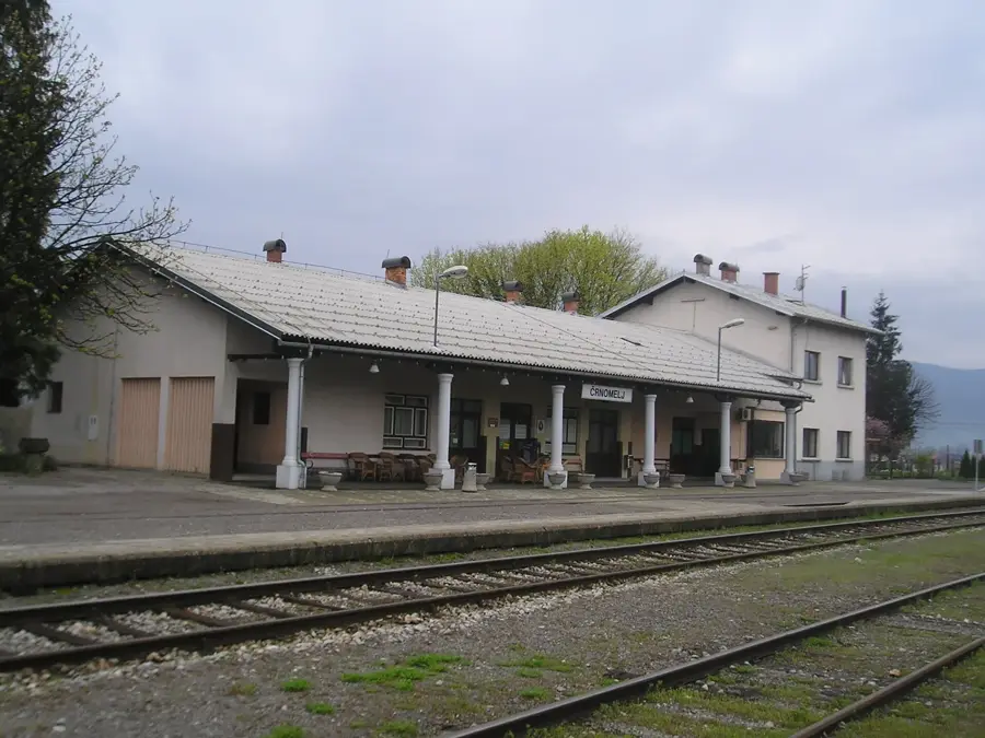
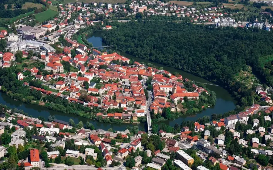
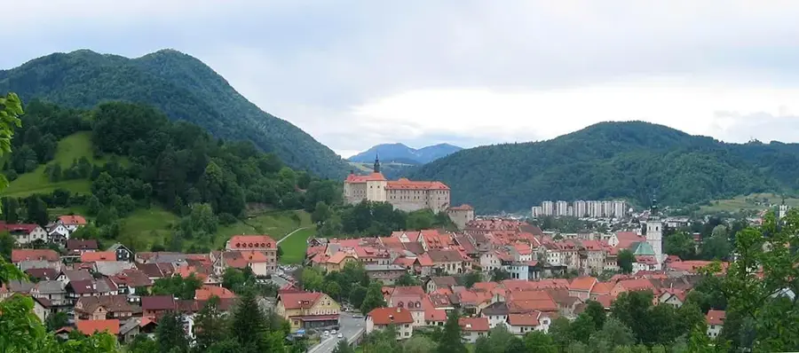
- Nearby: Vrhnika (14 km)
Best time to visit & climate
The most pleasant time to visit is Jun–Aug.
| Jan | Feb | Mar | Apr | May | Jun | Jul | Aug | Sep | Oct | Nov | Dec | |
|---|---|---|---|---|---|---|---|---|---|---|---|---|
| Avg °C | -1 | 0 | 4 | 9 | 14 | 18 | 20 | 20 | 15 | 10 | 5 | 0 |
| Rain mm | 60 | 73 | 71 | 73 | 96 | 88 | 83 | 94 | 118 | 104 | 109 | 85 |
📋 Practical info
Geography
Facts
- The altitude of Mount Krim is 1,107 meters
- The summit was once a restricted military zone
- A major TV transmitter is situated at the top
- The mountain is part of the Dinaric Alps system
- It overlooks the Ljubljana Marshes from the south
- Locals use the mountain's cloud cover to predict rain
Explore nearby
Notable places around
Route planner — Car & Motorhome
Where do you start? We build the route here, with stops and country notes along the way.
© OpenStreetMap contributors · OpenRouteService
Sights in the town Krim (3)
Sights nearby
Frequently asked questions
Where is Mt. Krim located?
How high is the mountain?
Is there a restaurant there?
What is the tower on the summit used for?
How long is the hike?
Krim: where is it located?
Krim: what is there to see?
Krim: when is the best time to visit?
Krim: why is it worth visiting?

Nearby cities

History & landmarks