Plizio Visual Lab
Kolovrat
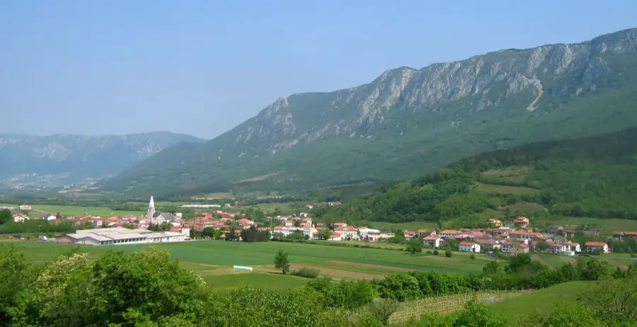
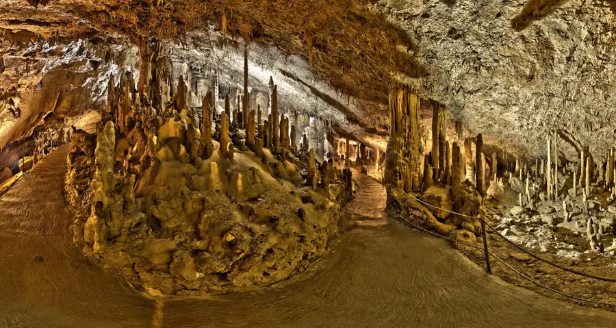
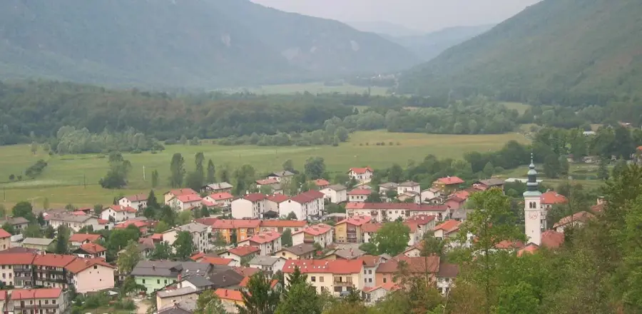
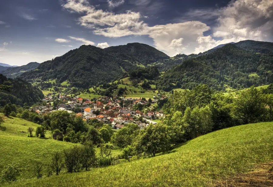
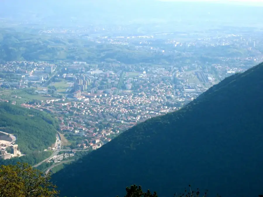
Kolovrat is a prominent mountain ridge in western Slovenia, rising above the Soča Valley and forming a natural border with Italy. It is historically renowned for its strategic role during World War I as part of the Isonzo Front, where major military operations took place. Today, the ridge hosts an extensive open-air museum featuring reconstructed trenches, bunkers, and tunnels that once formed the Italian army's third line of defense. Geographically, Kolovrat features sweeping panoramic views that stretch from the Julian Alps in the north to the Adriatic Sea in the south. In 1917, during the Twelfth Battle of the Isonzo (the Battle of Caporetto), the ridge was a site of critical combat that determined the collapse of the Italian front in this sector. The area is now part of the Walk of Peace trail, promoting historical understanding and reconciliation among nations. Beyond its military history, the ridge is a popular destination for hikers and cyclists who appreciate its challenging terrain and diverse flora. The preservation of these historical sites serves as a poignant reminder of the war's impact on the regional landscape and its people.
- Location: Slovenia
- Top sights: Nježna hiša · Monte San Martino · Viewpoint
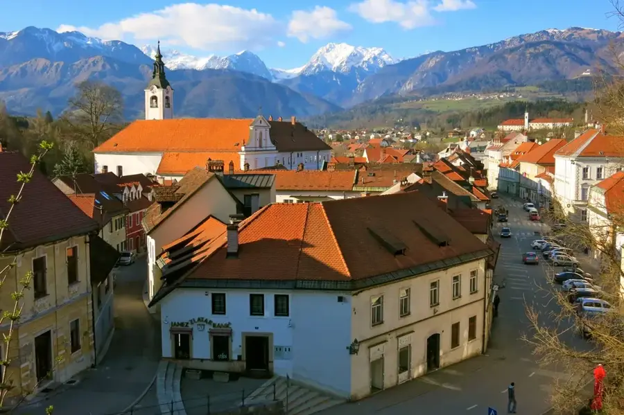
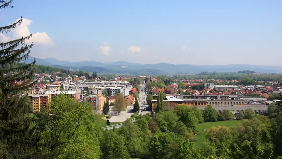
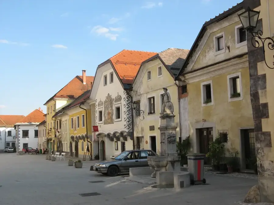
- Nearby: Tolmin (10 km)
Best time to visit & climate
The most pleasant time to visit is Jun–Aug.
| Jan | Feb | Mar | Apr | May | Jun | Jul | Aug | Sep | Oct | Nov | Dec | |
|---|---|---|---|---|---|---|---|---|---|---|---|---|
| Avg °C | 0 | 1 | 5 | 10 | 14 | 19 | 21 | 21 | 16 | 11 | 6 | 1 |
| Rain mm | 65 | 76 | 77 | 75 | 96 | 86 | 81 | 95 | 116 | 111 | 121 | 96 |
📋 Practical info
Geography
Facts
- The highest peak of the Kolovrat ridge is Mount Kuk, reaching 1,243 meters.
- The open-air museum is a central part of the 'Walk of Peace' international trail.
- Kolovrat was a decisive strategic point during the Battle of Caporetto in 1917.
- The military structures on the ridge were built by the Italian army between 1915 and 1917.
- From the ridge, visibility extends to the Gulf of Trieste on clear days.
- The site features a complex network of interconnected tunnels and observation posts.
Explore nearby
Notable places around
Route planner — Car & Motorhome
Where do you start? We build the route here, with stops and country notes along the way.
© OpenStreetMap contributors · OpenRouteService
Sights in the town Kolovrat (6)
Sights nearby
Frequently asked questions
What can you visit on Kolovrat?
Where is Mt. Kolovrat located?
Is access to the museum free?
What do you see from the summit?
Can you drive to the ridge?
Kolovrat: where is it located?
Kolovrat: what is there to see?
Kolovrat: when is the best time to visit?
Kolovrat: why is it worth visiting?

Nearby cities

History & landmarks