Plizio Visual Lab
Dragonja River
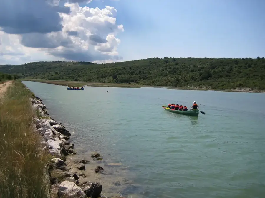
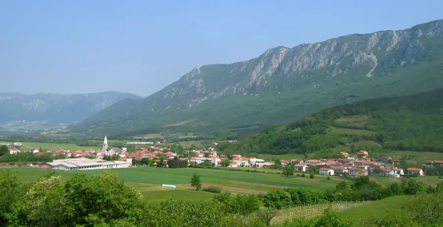
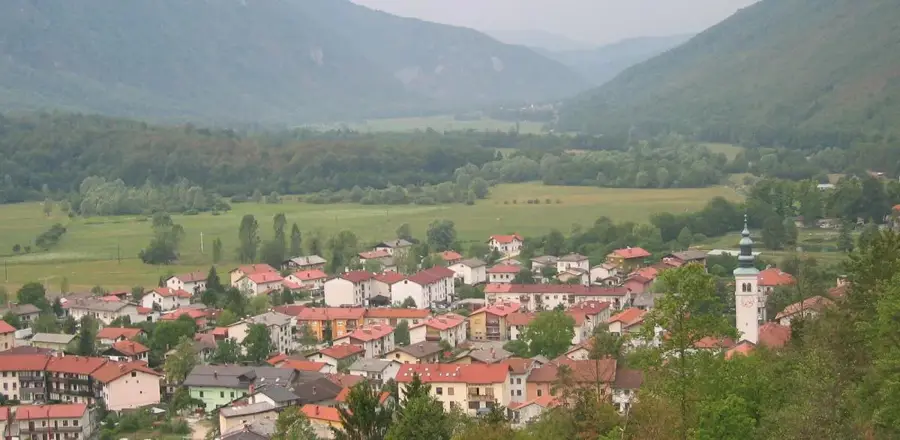
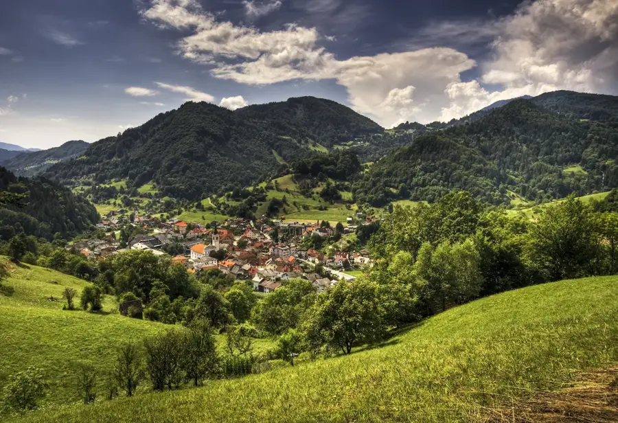
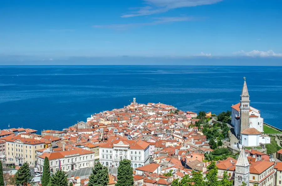
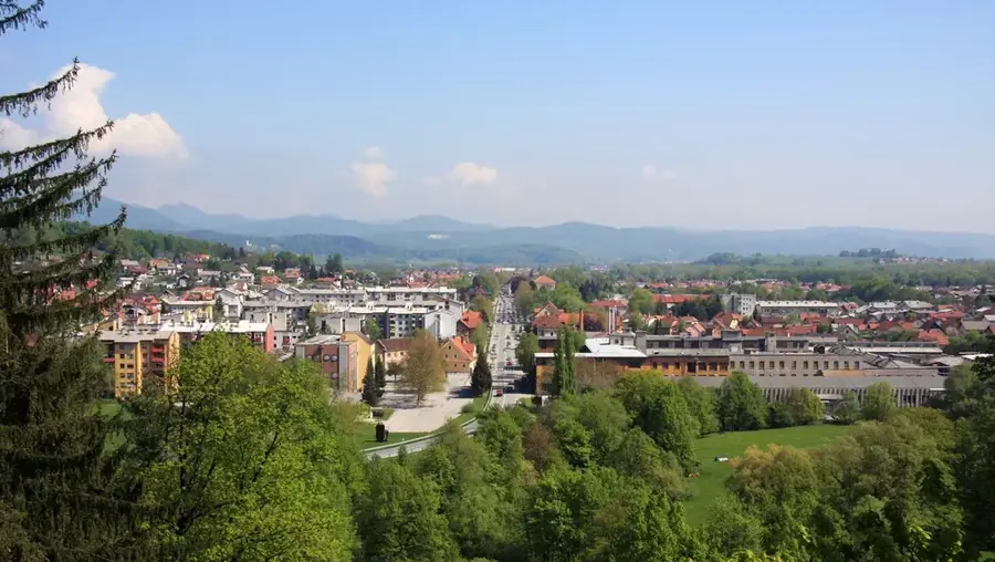
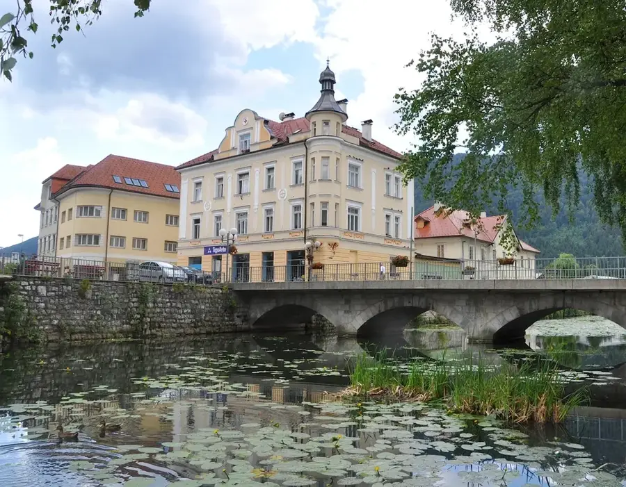
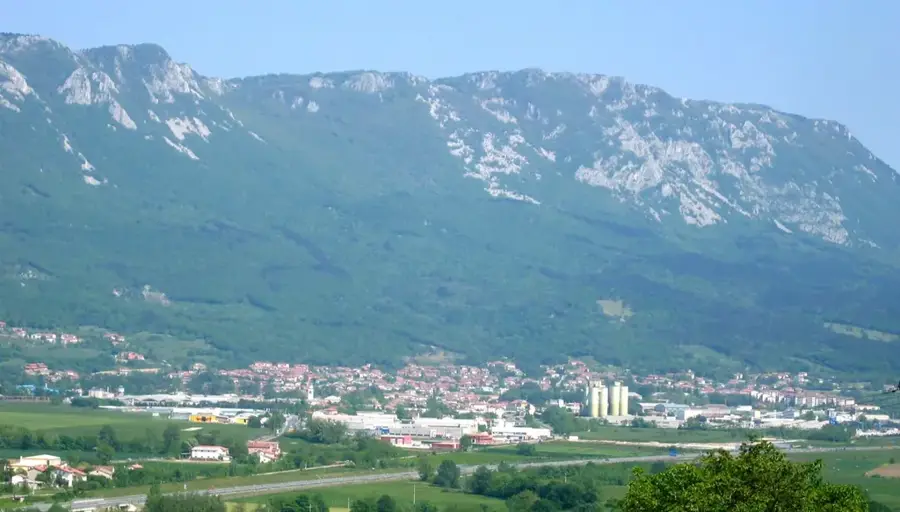
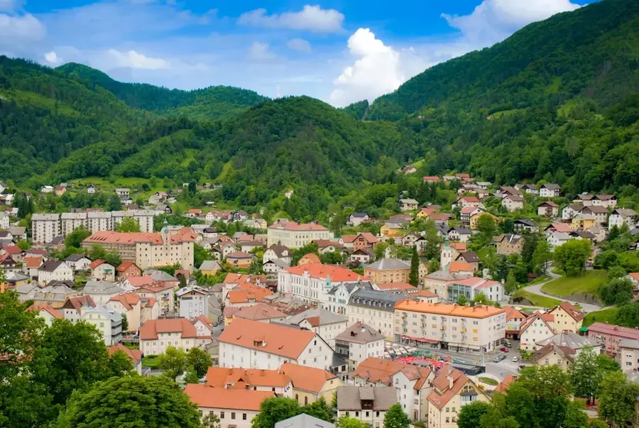
The Dragonja River is a distinctive waterway in Slovenian Istria, notable for being the only river in the country that does not flow through any settlements and remains largely unregulated. Spanning approximately 30 kilometers, it originates in the Šavrini Hills and empties into the Adriatic Sea at the Bay of Piran. Geologically, the Dragonja's drainage basin is characterized by flysch rock, which is highly susceptible to erosion, resulting in numerous small waterfalls and deep pools along its course. In its lower reaches, the river marks the international border between Slovenia and Croatia, a region that has historically been the subject of political debate. Ecologically, the Dragonja is of immense value, providing a sanctuary for rare species such as the Eurasian otter and various Mediterranean fish. The riparian vegetation consists of sub-Mediterranean plant species adapted to extreme seasonal fluctuations in water flow. At its mouth, the Dragonja feeds the historic Sečovlje Salt Pans, where sea salt has been harvested using traditional methods for over seven centuries.
- Location: Slovenia
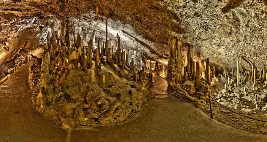
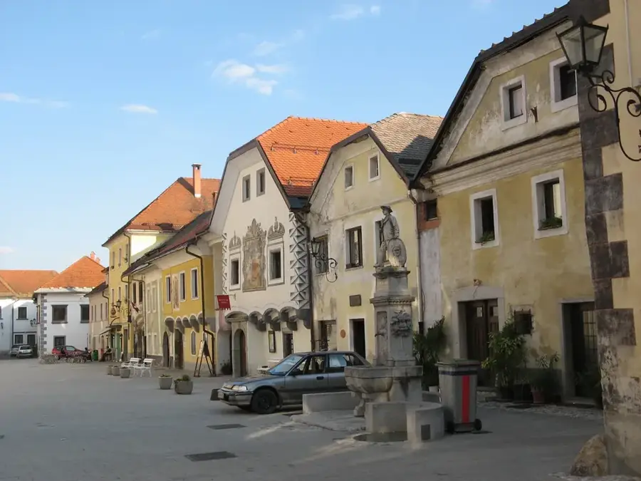
- Top sights: Nekdanji Benediktinski samostan · Stara brizgalna · Rudniška vagona
- Nearby: Izola (7 km)
Best time to visit & climate
The most pleasant time to visit is Jun–Aug.
| Jan | Feb | Mar | Apr | May | Jun | Jul | Aug | Sep | Oct | Nov | Dec | |
|---|---|---|---|---|---|---|---|---|---|---|---|---|
| Avg °C | 4 | 4 | 8 | 12 | 16 | 21 | 23 | 23 | 18 | 14 | 9 | 5 |
| Rain mm | 68 | 83 | 72 | 69 | 89 | 74 | 60 | 79 | 113 | 102 | 123 | 96 |
📋 Practical info
Geography
Facts
- Total length of the river is 30 kilometers
- The drainage basin covers approximately 95 square kilometers
- The river system is supported by 11 main tributaries
- The mouth is located within the Sečovlje Salina Nature Park
- Water flow can nearly cease during dry summer months
- Designated as a Natura 2000 protected site since 2004
Explore nearby
Notable places around
Route planner — Car & Motorhome
Where do you start? We build the route here, with stops and country notes along the way.
© OpenStreetMap contributors · OpenRouteService
Sights in the town Dragonja River (5)
Solinarski vagon
Old salt wagon in the Dragonja valley, recalls the salt production of the area.
Sights nearby
Frequently asked questions
Where is the river located?
Why is it kept natural?
Are there hiking trails?
Is it a border river?
What can you see at the mouth?
Dragonja River: where is it located?
Dragonja River: what is there to see?
Dragonja River: when is the best time to visit?
Dragonja River: why is it worth visiting?

Nearby cities

History & landmarks