Plizio Visual Lab
Veľký Choč
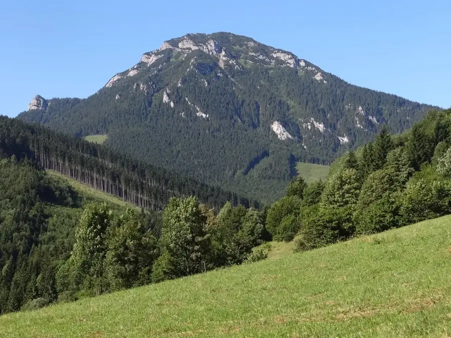
Veľký Choč, rising to an elevation of 1611 meters, is the dominant peak of the Choč Mountains and is widely regarded as one of the finest vantage points in Slovakia. Its distinctive pyramidal silhouette towers over the Liptov and Orava basins, serving as a prominent geographical landmark. Geologically, the mountain is composed of Triassic limestone and dolomite, which has created a rugged terrain characterized by steep cliffs and karst formations. The summit area is home to exceptional flora, including relict pine forests and rare alpine plant species that have survived since the last ice age. The panoramic view from the top is unparalleled, offering a clear sight of the High and Low Tatras, as well as the Greater and Lesser Fatra ranges. Since 1982, the summit and its surrounding slopes have been protected as a National Nature Reserve to safeguard its unique biodiversity and geological heritage.
- Location: Slovakia
- Top sights: Veľký Choč · Malý Choč · Kýčera
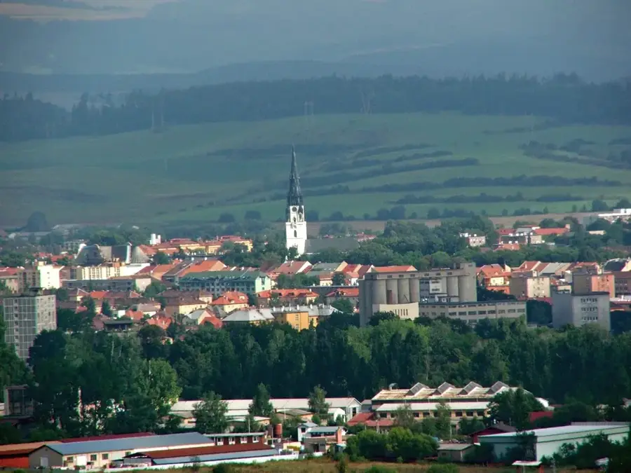
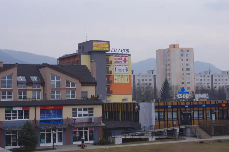
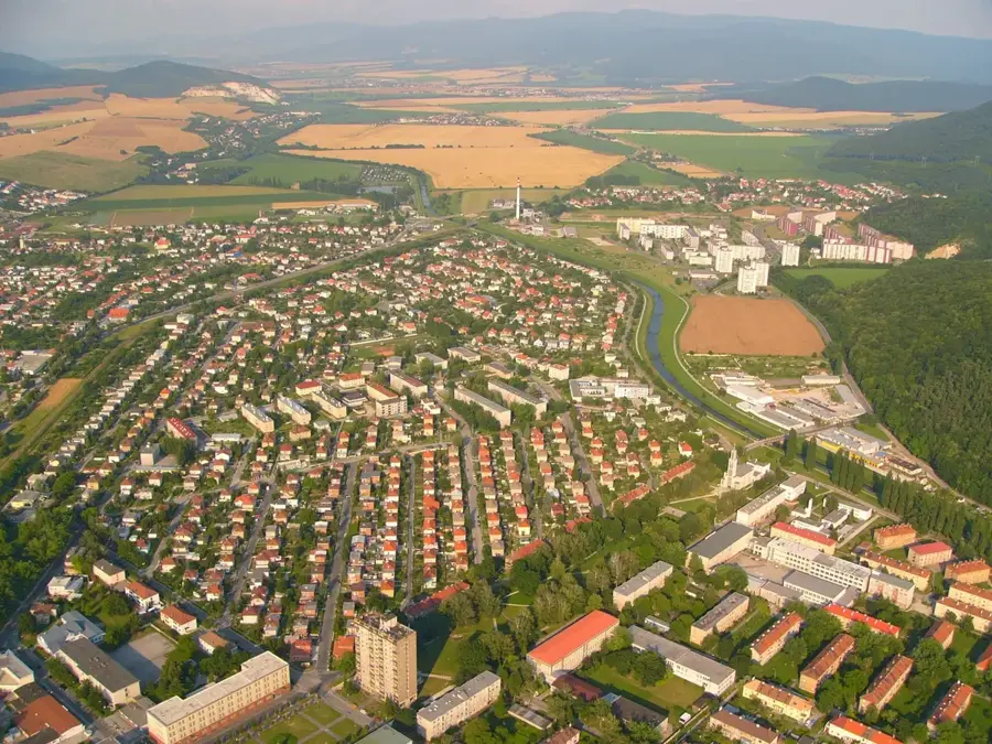
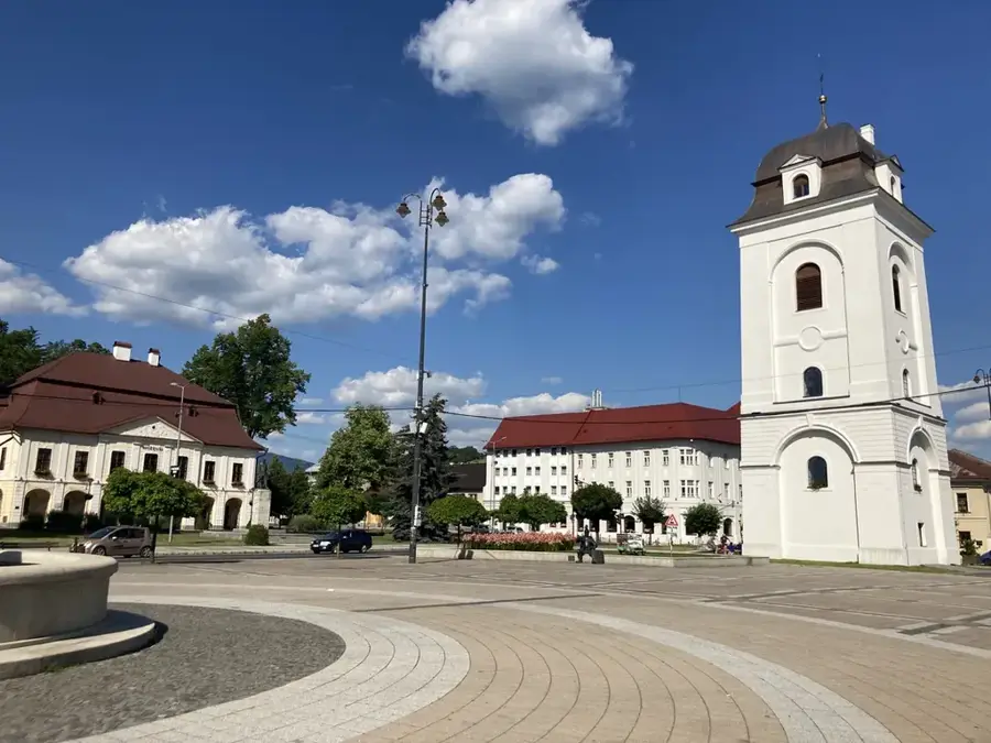
- Nearby: Dolný Kubín (7 km)
Best time to visit & climate
The most pleasant time to visit is Jun–Aug.
| Jan | Feb | Mar | Apr | May | Jun | Jul | Aug | Sep | Oct | Nov | Dec | |
|---|---|---|---|---|---|---|---|---|---|---|---|---|
| Avg °C | -6 | -4 | 0 | 6 | 11 | 15 | 17 | 17 | 12 | 6 | 2 | -4 |
| Rain mm | 63 | 58 | 63 | 58 | 102 | 110 | 120 | 89 | 80 | 70 | 63 | 60 |
📋 Practical info
Geography
Facts
- The elevation of Veľký Choč is 1611 meters above sea level.
- It is the highest point of the Chočské vrchy mountain range.
- The area was designated as a National Nature Reserve in 1982.
- It is famous for providing a full 360-degree panoramic view of Slovakia.
- The geological structure is primarily composed of limestone and dolomite.
- The peak is a popular destination for hikers year-round.
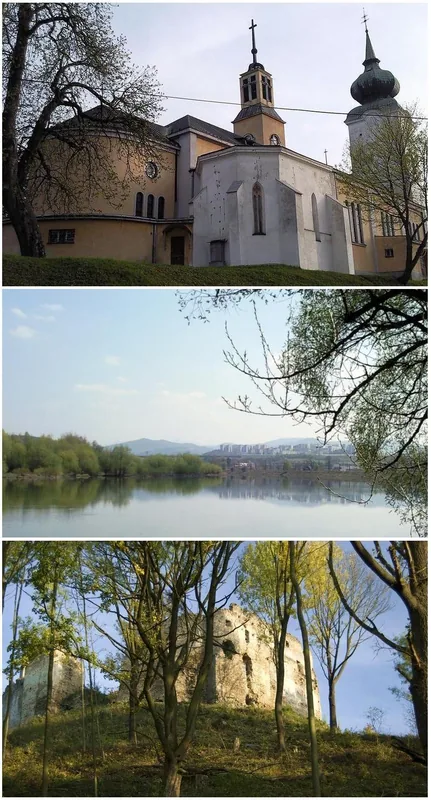
Explore nearby
Notable places around
Route planner — Car & Motorhome
Where do you start? We build the route here, with stops and country notes along the way.
© OpenStreetMap contributors · OpenRouteService
Sights in the town Veľký Choč (4)
Kýčera
Kýčera is a mountain in Slovakia, a peak in the mountain range.
Sights nearby
Frequently asked questions
How is the view from Veľký Choč?
How difficult is the ascent?
Where is the best place to start the hike?
How long does the tour to the summit take?
Is there a hut at the summit?
Veľký Choč: where is it located?
Veľký Choč: what is there to see?
Veľký Choč: when is the best time to visit?
Veľký Choč: why is it worth visiting?

Nearby cities


History & landmarks