Plizio Visual Lab
Choč Mountains
Weather…
Water temperature…
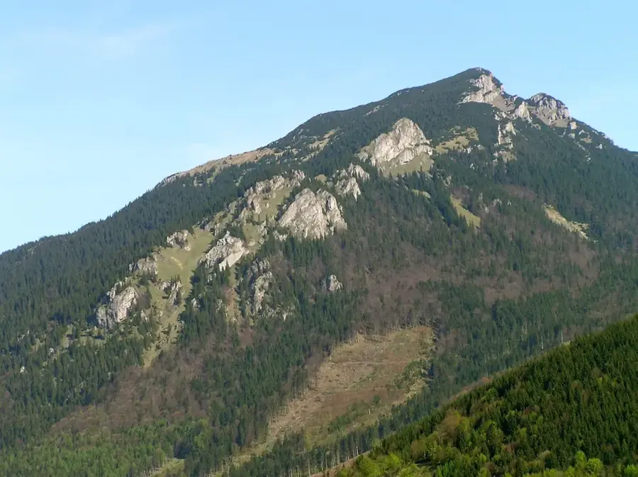
The Choč Mountains (Chočské vrchy) constitute a relatively small but geographically crucial and visually striking limestone and dolomite mountain range in north-central Slovakia, acting as a natural topographical bridge between the Veľká Fatra range to the west and the Western Tatras to the east. Unlike most other Slovak mountain ranges, the Choč Mountains completely lack a continuous, coherent main ridge. Instead, the terrain is intensely fragmented into isolated, massive karst blocks and distinct summits that are deeply bisected by spectacular, canyon-like valleys and dramatic gorges, most notably the renowned Kvačianska dolina and Prosiecka dolina. This profound carving of the landscape by ancient watercourses has resulted in a wild, romantic environment featuring sheer vertical rock faces, cascading waterfalls, and intricate cave systems, making it a premier destination for adventurous hikers. Furthermore, the prevalent limestone bedrock supports an exceptionally rich and colorful calcicole (calcium-loving) alpine flora that bursts into animated life during the spring and summer months.
- Location: Slovakia
- Top sights: Veľký Choč · Malý Choč · Bukov
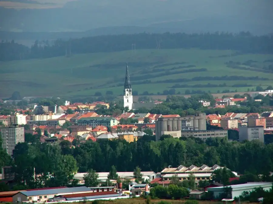
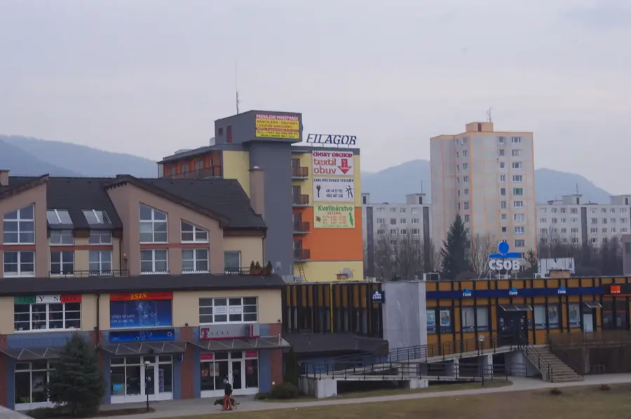
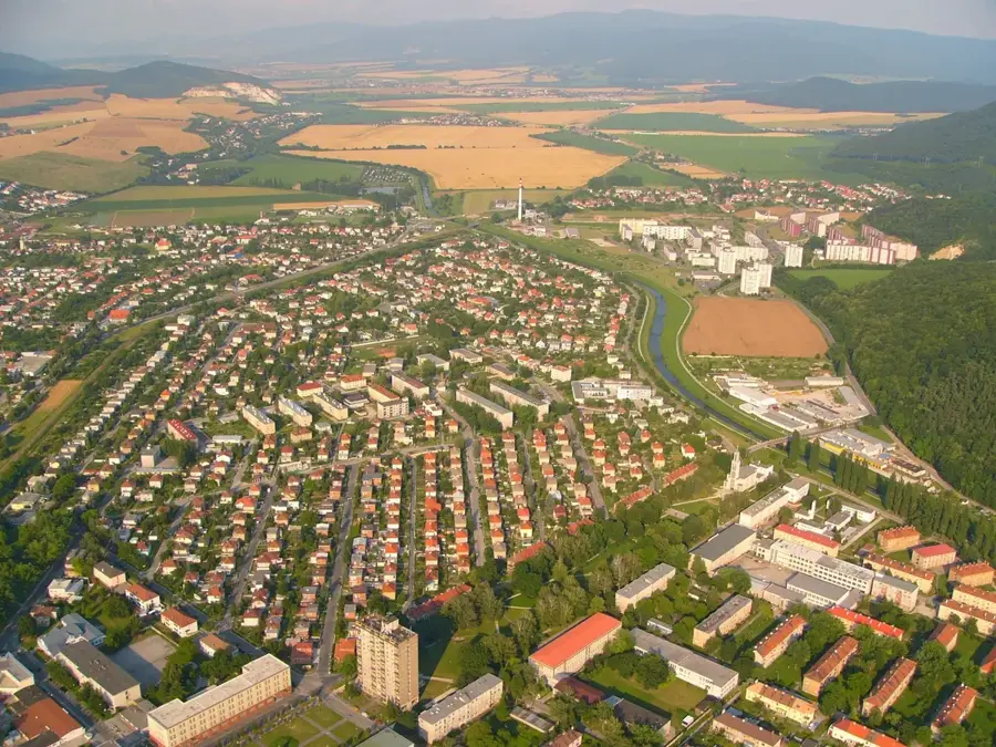
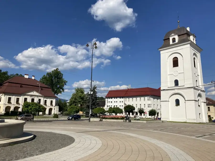
- Nearby: Dolný Kubín (8 km)
Best time to visit & climate
The most pleasant time to visit is Jun–Aug.
| Jan | Feb | Mar | Apr | May | Jun | Jul | Aug | Sep | Oct | Nov | Dec | |
|---|---|---|---|---|---|---|---|---|---|---|---|---|
| Avg °C | -6 | -4 | 0 | 6 | 11 | 15 | 17 | 17 | 12 | 6 | 2 | -4 |
| Rain mm | 63 | 58 | 63 | 58 | 102 | 110 | 120 | 89 | 80 | 70 | 63 | 60 |
📋 Practical info
Geography
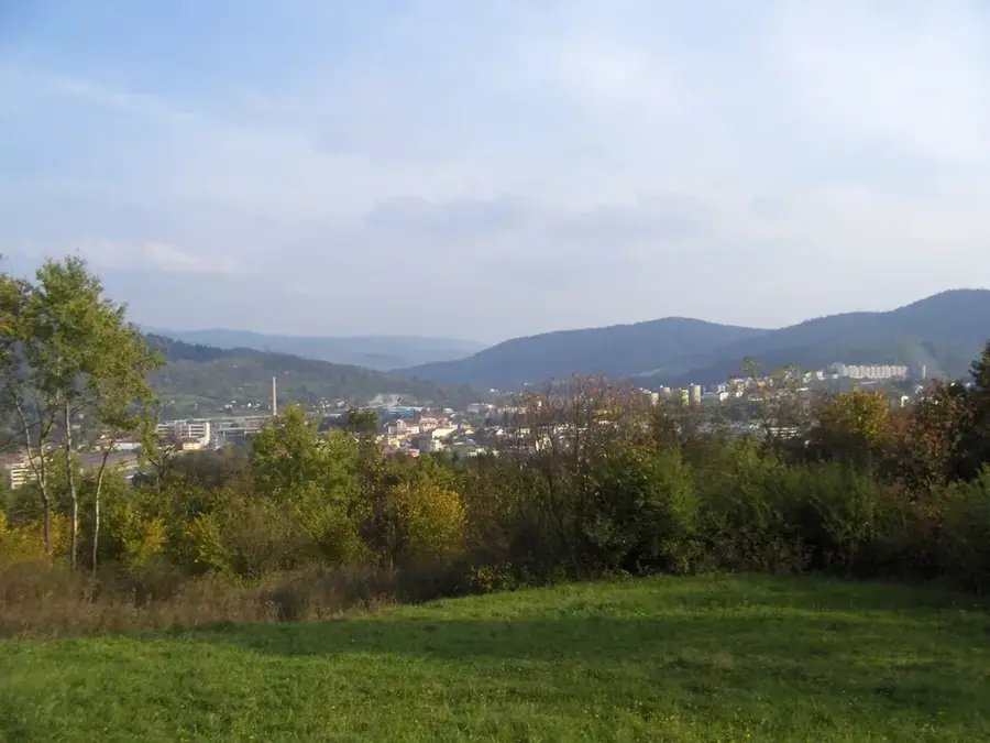
Explore nearby
Notable places around
Route planner — Car & Motorhome
Where do you start? We build the route here, with stops and country notes along the way.
© OpenStreetMap contributors · OpenRouteService
Sights in the town Choč Mountains (3)
Bukov
Mountain in Slovakia, in the Choč Mountains.
Sights nearby
Frequently asked questions
Where are the Choč Mountains located?
What is special about these mountains?
What is the most famous peak?
Are there waterfalls in the region?
Are the mountains well-developed for hikers?
Choč Mountains: where is it located?
Choč Mountains: what is there to see?
Choč Mountains: when is the best time to visit?
Choč Mountains: why is it worth visiting?

Nearby cities


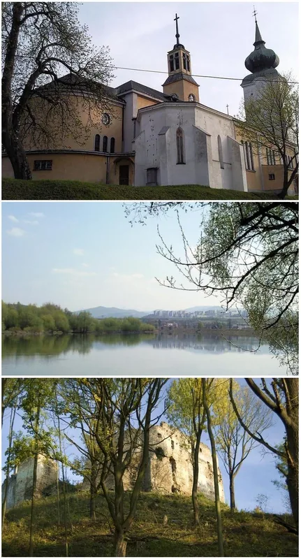


History & landmarks