Plizio Visual Lab
Gerlachovský štít
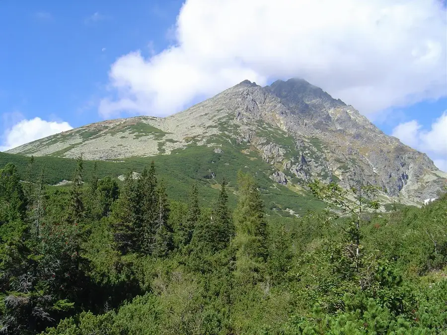
Gerlachovský štít is the undisputed monarch of the High Tatras and the highest peak in the entire 1,500-kilometer-long Carpathian Mountain range, reaching a formidable elevation of 2654 meters above sea level. Located in the northern reaches of Slovakia within the pristine environment of the Tatra National Park, this massive granite peak has long captured the imagination of mountaineers and explorers. The first verifiable and documented ascent was completed in 1834 by Ján Still, a local teacher and mountain guide, marking the beginning of its rich mountaineering history. Due to the extreme weather conditions, the complex terrain, and the need to protect the fragile alpine environment, unguided hiking to the summit is strictly prohibited. Today, adventurers seeking to conquer the highest point of Slovakia must be accompanied by certified UIAGM mountain guides, typically navigating challenging routes like the Velická próba.
- Location: Slovakia
- Top sights: Gerlachovský štít · Gerlachovská veža · Kotlový štít
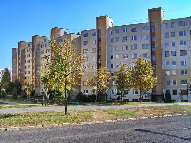
- Nearby: Štrbské Pleso (7 km)
Best time to visit & climate
The most pleasant time to visit is Jun–Aug.
| Jan | Feb | Mar | Apr | May | Jun | Jul | Aug | Sep | Oct | Nov | Dec | |
|---|---|---|---|---|---|---|---|---|---|---|---|---|
| Avg °C | -7 | -6 | -2 | 5 | 10 | 13 | 15 | 15 | 10 | 5 | 0 | -5 |
| Rain mm | 66 | 64 | 69 | 69 | 119 | 127 | 139 | 102 | 89 | 78 | 71 | 65 |
📋 Practical info
Geography
Explore nearby
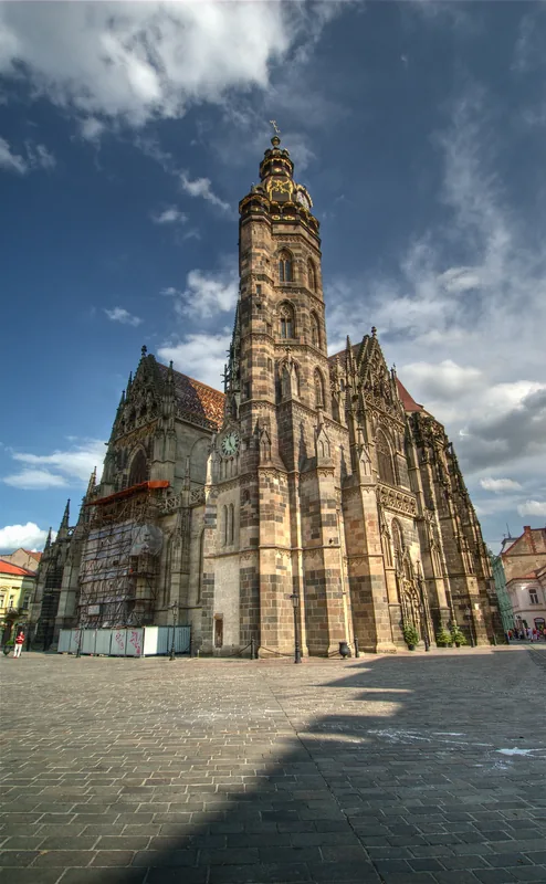
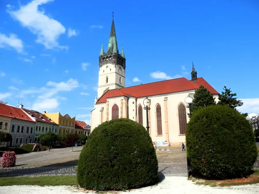
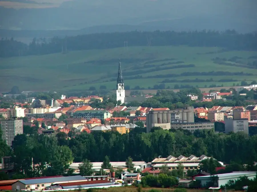
Notable places around
Route planner — Car & Motorhome
Where do you start? We build the route here, with stops and country notes along the way.
© OpenStreetMap contributors · OpenRouteService
Sights in the town Gerlachovský štít (3)
Kotlový štít
Kotlový štít is a 2601 m high mountain in the High Tatras, Slovakia.
Sights nearby
Frequently asked questions
Can you climb Gerlachovský štít without a mountain guide?
How high is the mountain?
How long does a guided tour to the summit take?
What equipment is needed?
When is the best time for the climb?
Gerlachovský štít: where is it located?
Gerlachovský štít: what is there to see?
Gerlachovský štít: when is the best time to visit?
Gerlachovský štít: why is it worth visiting?

Nearby cities


History & landmarks