Plizio Visual Lab
Rysy Peak
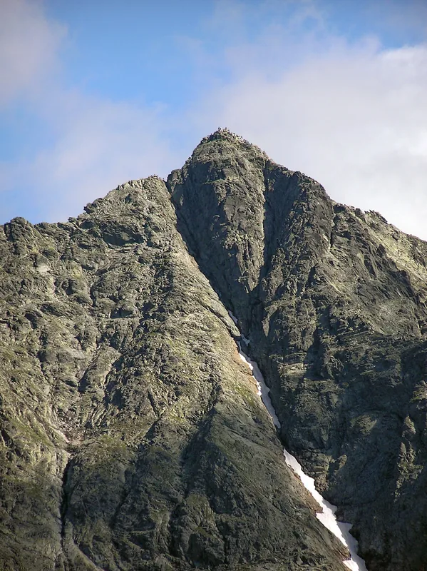
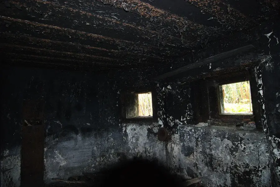
Rysy is the absolute pinnacle for mountaineers in the Polish Tatras, marking the highest point in the country with its northwestern peak. The ascent from the Polish side, starting near the scenic Morskie Oko lake, is considered technically demanding and requires a good head for heights, as it involves navigating steep rock gullies and sections secured with chains. The massif is characterized by its rugged granite structure and deep, glacier-carved cirques. Those who successfully complete the grueling climb are highly rewarded with a wide-open 360-degree panoramic view, allowing them to marvel at over 100 mountain peaks and numerous deep-blue alpine lakes across both Poland and Slovakia. Due to extreme high-altitude weather conditions, the summit attempt is generally only recommended during the summer months without specialized winter gear.
- Location: Poland
- Top sights: Litvorový štít · Vysoká · Zadný Gerlach
- Nearby: Zakopane (17 km)
Best time to visit & climate
The most pleasant time to visit is Jun–Aug.
| Jan | Feb | Mar | Apr | May | Jun | Jul | Aug | Sep | Oct | Nov | Dec | |
|---|---|---|---|---|---|---|---|---|---|---|---|---|
| Avg °C | -7 | -6 | -2 | 5 | 10 | 13 | 15 | 15 | 10 | 5 | 0 | -5 |
| Rain mm | 66 | 64 | 69 | 69 | 119 | 127 | 139 | 102 | 89 | 78 | 71 | 65 |
📋 Practical info
Geography
Explore nearby
Notable places around
Route planner — Car & Motorhome
Where do you start? We build the route here, with stops and country notes along the way.
© OpenStreetMap contributors · OpenRouteService
Sights in the town Rysy Peak (3)
Sights nearby
Frequently asked questions
How high is Rysy?
Is the climb difficult?
Is there an easier route?
Can you sleep at the top?
When is there snow?
Rysy Peak: where is it located?
Rysy Peak: what is there to see?
Rysy Peak: when is the best time to visit?
Rysy Peak: why is it worth visiting?

Nearby cities