Plizio Visual Lab
Belianske Tatras
Weather…
Water temperature…
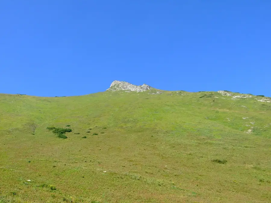
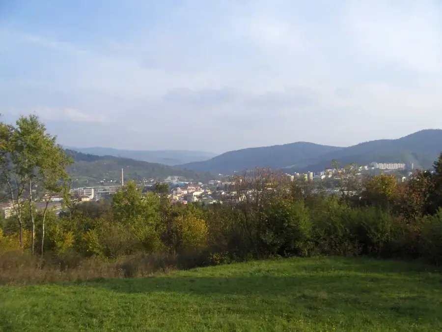
The Belianske Tatras (Belianske Tatry) is a breathtakingly beautiful, 14-kilometer-long mountain massif that constitutes the easternmost section of the Tatra Mountains, running perpendicularly to the main ridge of the High Tatras. In extreme morphological contrast to the jagged, dark, and imposing granite peaks of the High Tatras, the Belianske Tatras are composed almost entirely of bright Mesozoic sedimentary rocks, predominantly limestone and dolomite. This geological foundation has sculpted a dramatic, karst-like landscape characterized by deep gorges, extensive cave systems (including the publicly accessible Belianska Cave), and striking white rock walls. However, the true global significance of this range lies in its staggering botanical wealth; thanks to the alkaline, calcium-rich soil, it is universally recognized as the most floristically rich and ecologically valuable area in all of Slovakia, harboring hundreds of rare, strictly protected, and endemic alpine plant species. To vigorously protect this highly fragile and pristine environment, the vast majority of the mountain range, including its highest peak Havran (2152m), is strictly closed to the public, with only a single designated educational trail (via Monkova dolina) allowing hikers to experience its beauty.
- Location: Slovakia
- Top sights: Bujačí vrch · Zadné Jatky · Hlúpy
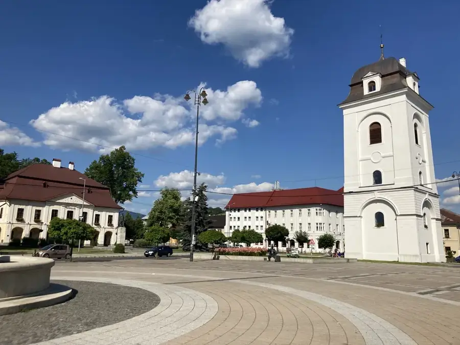
- Nearby: Ždiar (6 km)
Best time to visit & climate
The most pleasant time to visit is Jun–Aug.
| Jan | Feb | Mar | Apr | May | Jun | Jul | Aug | Sep | Oct | Nov | Dec | |
|---|---|---|---|---|---|---|---|---|---|---|---|---|
| Avg °C | -7 | -6 | -2 | 5 | 10 | 13 | 15 | 15 | 10 | 5 | 0 | -5 |
| Rain mm | 66 | 64 | 69 | 69 | 119 | 127 | 139 | 102 | 89 | 78 | 71 | 65 |
📋 Practical info
Geography
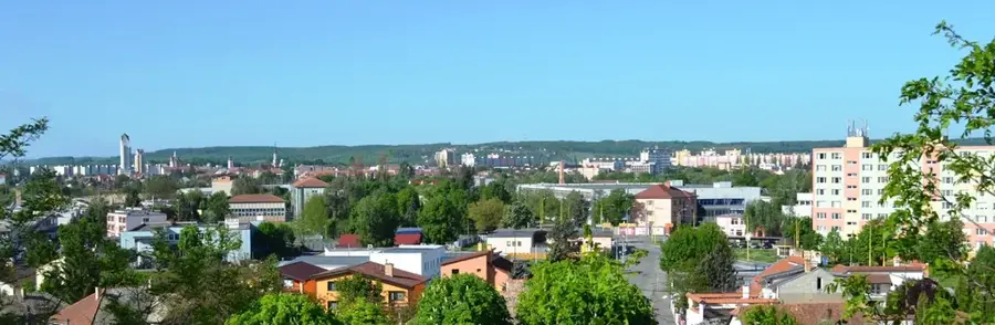
Explore nearby
Notable places around
Route planner — Car & Motorhome
Where do you start? We build the route here, with stops and country notes along the way.
© OpenStreetMap contributors · OpenRouteService
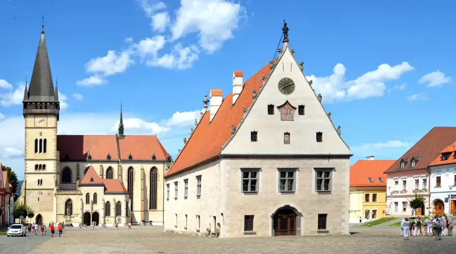
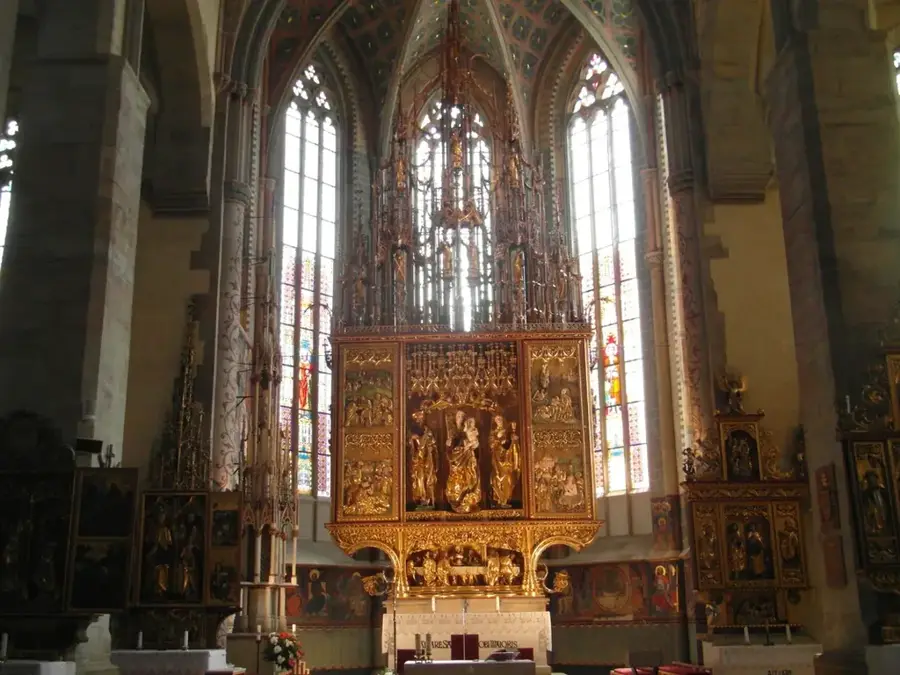
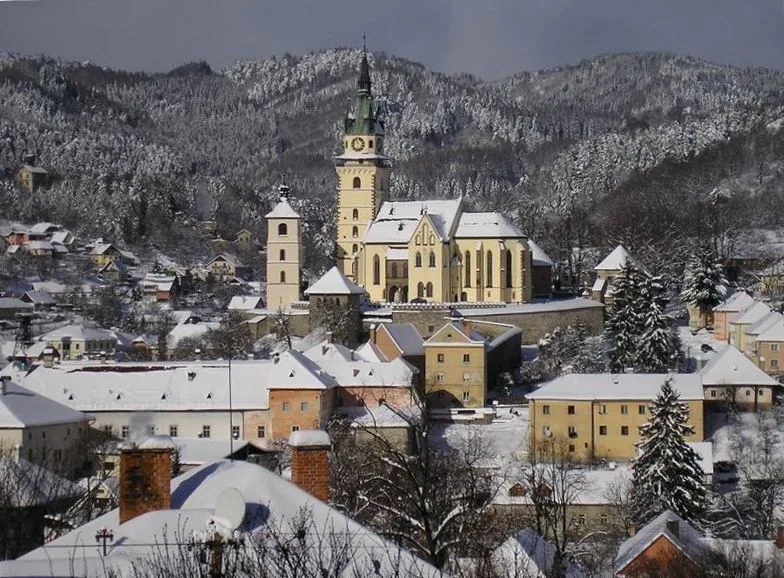
Sights in the town Belianske Tatras (3)
Sights nearby
Frequently asked questions
How does the Belianske Tatras differ from the High Tatras?
Is free hiking allowed in the Belianske Tatras?
Which cave can be visited here?
Which village is considered the gateway to the Belianske Tatras?
What is the highest peak of the Belianske Tatras?
Belianske Tatras: where is it located?
Belianske Tatras: what is there to see?
Belianske Tatras: when is the best time to visit?
Belianske Tatras: why is it worth visiting?

Nearby cities


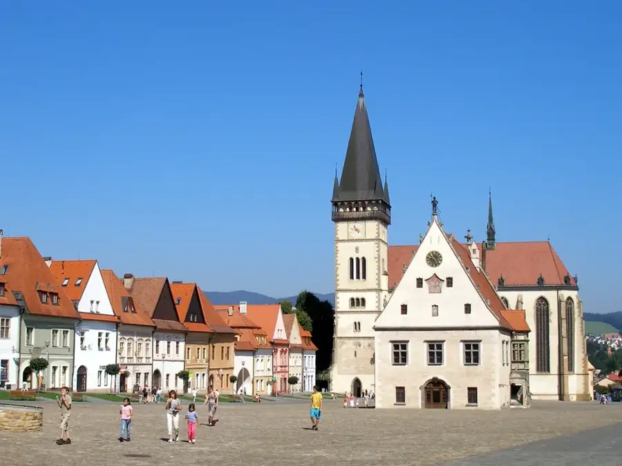


History & landmarks