Plizio Visual Lab
Tingi Hills

Weather…
Water temperature…
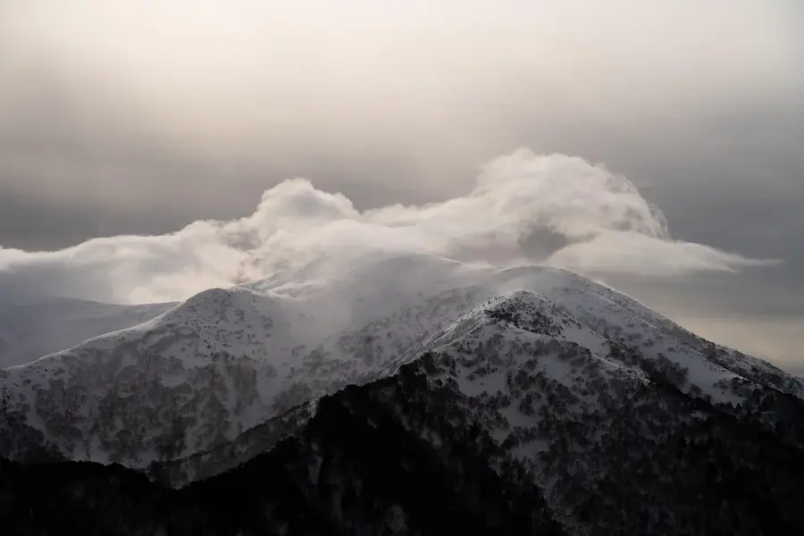
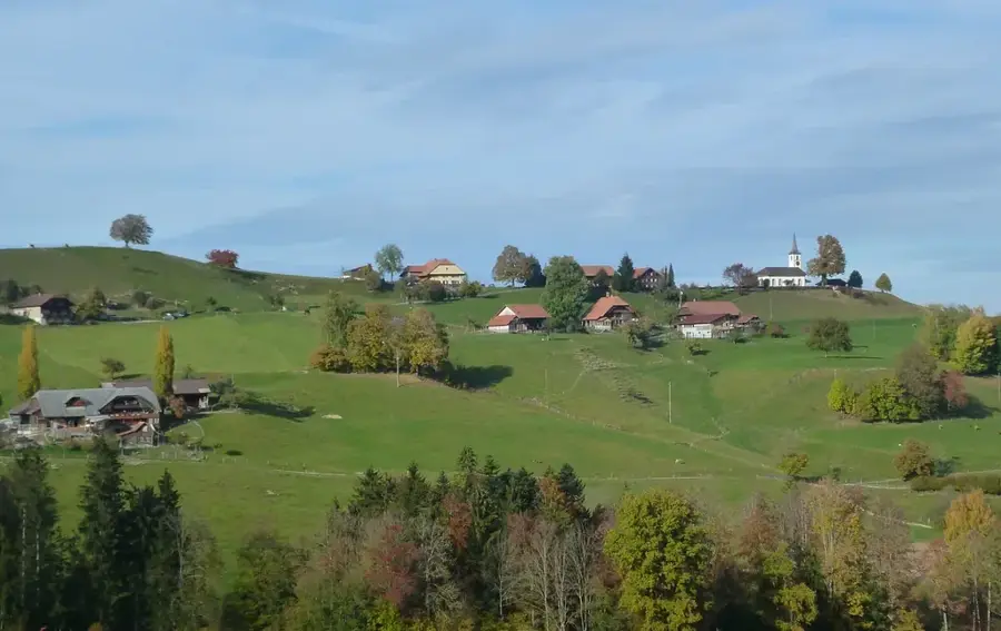
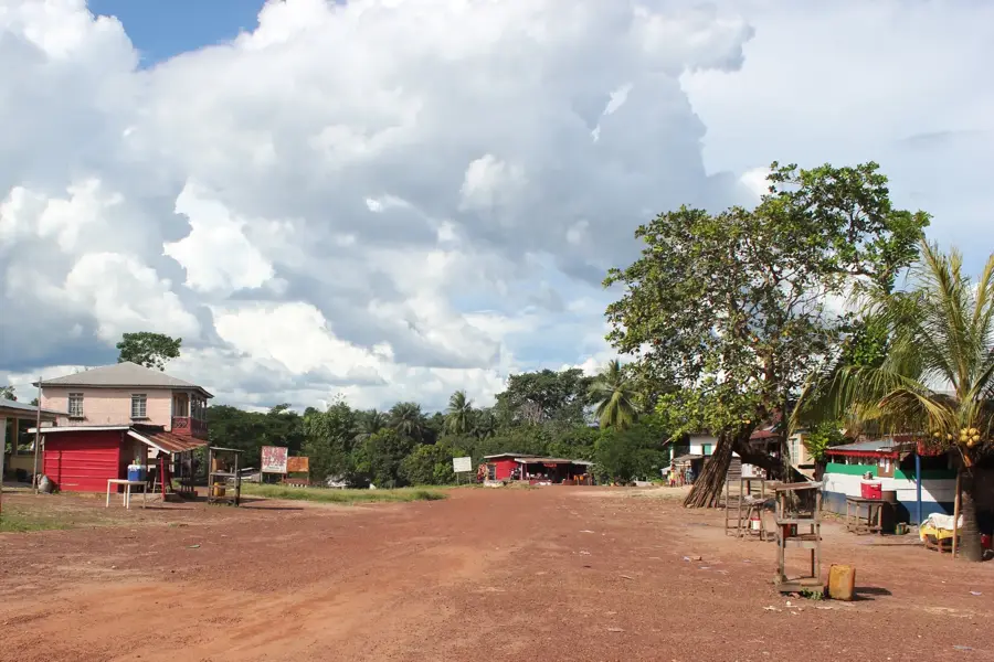
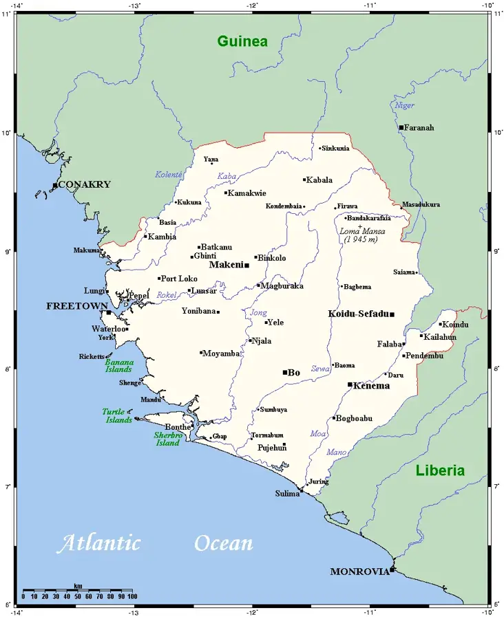
The Tingi Hills, also known as the Sankan Biriwa massif, are located in eastern Sierra Leone near the border with Guinea. This is the second highest mountain range in the country after the Loma Mountains, reaching an elevation of 1,853 meters at the northern Sankan Biriwa peak. The area was designated as a forest reserve in 1947 and covers an area of approximately 11,885 hectares. The landscape is characterized by rugged granite peaks, deep gorges, and a distinct vegetation zonation ranging from tropical rainforest to montane grasslands. The Tingi Hills are a significant watershed, where several tributaries of the Niger and Sewa rivers originate. Botanically, the area is noted for its diversity of orchids and ferns, while the wildlife includes rare primates and numerous endemic bird species. Due to its remote location and difficult terrain, the massif has remained largely undisturbed, offering experienced hikers one of the most challenging landscapes in West Africa.
- Location: Sierra Leone
- Nearby: Koidu (31 km)
Best time to visit & climate
The most pleasant time to visit is Jan, Feb, Dec.
| Jan | Feb | Mar | Apr | May | Jun | Jul | Aug | Sep | Oct | Nov | Dec | |
|---|---|---|---|---|---|---|---|---|---|---|---|---|
| Avg °C | 24 | 26 | 28 | 28 | 27 | 25 | 24 | 23 | 24 | 25 | 25 | 24 |
| Rain mm | 1 | 4 | 9 | 30 | 101 | 277 | 442 | 539 | 350 | 149 | 40 | 3 |
📋 Practical info
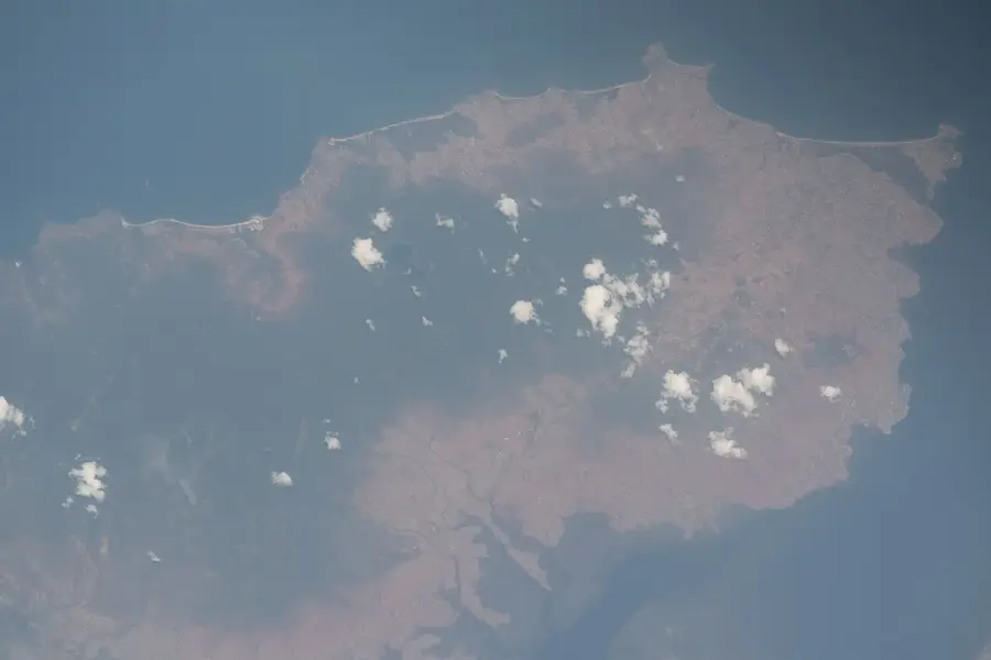
Geography
Facts
- Sankan Biriwa is the second highest peak in Sierra Leone at 1,853 meters.
- The Tingi Hills Forest Reserve was established in 1947.
- The total protected area covers 11,885 hectares.
- The massif consists of two main peaks separated by a high saddle.
- Several tributaries of the Niger River have their source in these hills.
- Vegetation above 1,500 meters consists primarily of montane grassland.
Explore nearby
Notable places around
Route planner — Car & Motorhome
Where do you start? We build the route here, with stops and country notes along the way.
© OpenStreetMap contributors · OpenRouteService
Sights nearby
Frequently asked questions
How difficult is hiking in the Tingi Hills?
When is the best time to visit the Tingi Hills?
Are there marked hiking trails?
Is a permit required for the Tingi Hills?
Where can I find accommodation nearby?
Tingi Hills: where is it located?
Tingi Hills: when is the best time to visit?
Tingi Hills: why is it worth visiting?

Nearby cities


History & landmarks

Nature
More places