Plizio Visual Lab
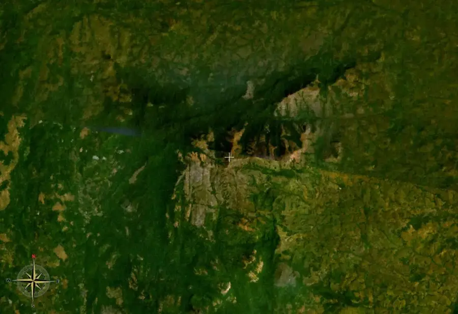
Mount Bintumani
Weather…
Water temperature…
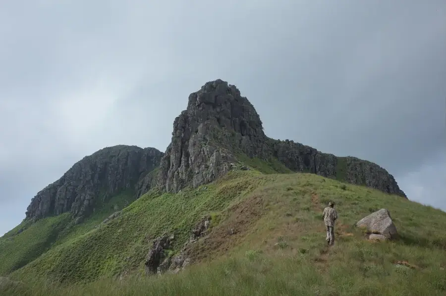
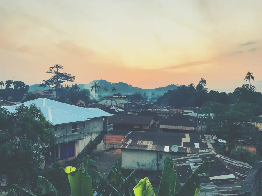
Mount Bintumani, also known as Loma Mansa, is the highest peak in Sierra Leone at 1,945 meters (6,381 ft) and one of the highest mountains in West Africa outside the Mount Cameroon range. It is situated in the Loma Mountains in the northeast of the country and is part of a significant forest reserve. The mountain's geographical isolation has fostered a unique biodiversity, including numerous endemic plant species and a significant population of chimpanzees. The terrain transitions from dense tropical rainforest on the lower slopes to montane grasslands and savannas at higher elevations. Historically, the peak was first documented by European expeditions in 1912, though it has long held cultural significance for the local Koranko communities. The mountain serves as a major watershed for several river systems in the region. Due to its remote location and rugged terrain, Mount Bintumani is a destination for adventurous hikers and scientific researchers focused on ecological conservation.
- Location: Sierra Leone
- Top sights: Loma Mansa · Waria
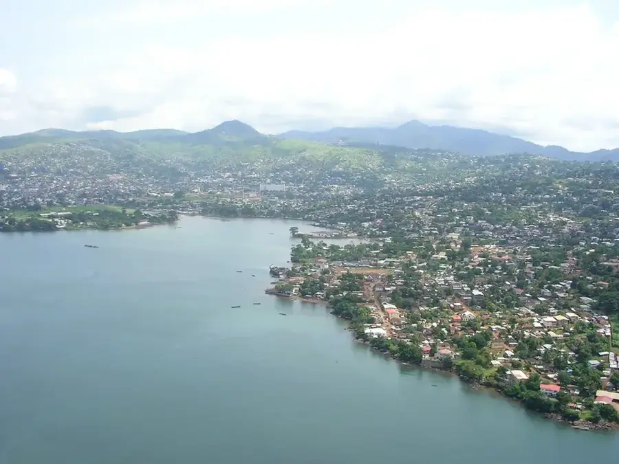
- Nearby: Sumbaria (47 km)
Best time to visit & climate
The most pleasant time to visit is Jan, Feb, Dec.
| Jan | Feb | Mar | Apr | May | Jun | Jul | Aug | Sep | Oct | Nov | Dec | |
|---|---|---|---|---|---|---|---|---|---|---|---|---|
| Avg °C | 24 | 26 | 28 | 28 | 27 | 25 | 24 | 23 | 24 | 25 | 25 | 24 |
| Rain mm | 1 | 4 | 9 | 30 | 101 | 277 | 442 | 539 | 350 | 149 | 40 | 3 |
📋 Practical info
Geography
Facts
- At 1,945 meters, it is the highest mountain in Sierra Leone.
- The mountain is located within the Loma Mountains Forest Reserve.
- The summit was first scientifically documented in 1912.
- The area is home to endangered species like the pygmy hippopotamus.
- The vegetation transitions to montane grassland above 1,500 meters.
- Several rivers, including the Bagbe, originate from this mountain mass.
Explore nearby
Notable places around
Route planner — Car & Motorhome
Where do you start? We build the route here, with stops and country notes along the way.
© OpenStreetMap contributors · OpenRouteService
Sights in the town Mount Bintumani (2)
Sights nearby
Frequently asked questions
How difficult is climbing Mount Bintumani?
Do you need a guide for the climb?
When is the best time to visit the region?
Are there accommodations near the mountain?
How long does the entire hike take?
Mount Bintumani: where is it located?
Mount Bintumani: what is there to see?
Mount Bintumani: when is the best time to visit?
Mount Bintumani: why is it worth visiting?

Nearby cities


History & landmarks
Nature
More places