Plizio Visual Lab
Loma Mountains
Weather…
Water temperature…
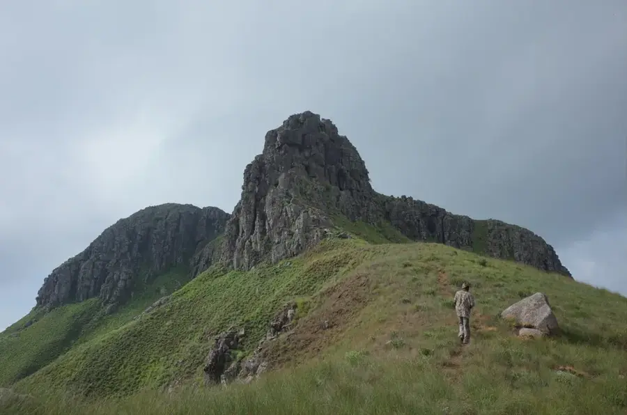
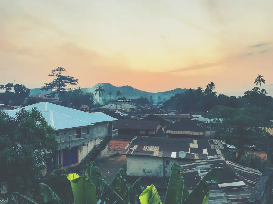
The Loma Mountains constitute the highest mountain range in Sierra Leone, situated in the northeastern part of the country near the border with Guinea. The range is dominated by Mount Bintumani, also known as Loma Mansa, which reaches an elevation of 1,945 meters above sea level, making it the highest peak in West Africa outside of the Cameroon Line and the Atlas Mountains. Geologically, the mountains are composed of ancient granitic rocks that have undergone weathering over millions of years. The slopes are characterized by a transition of ecosystems, starting with dense lowland rainforests that give way to montane forests and eventually sub-alpine grasslands at the highest altitudes. This environmental diversity supports numerous rare species, including the Sierra Leone Prinia and several endangered primate species like the western chimpanzee. The Loma Mountains were first established as a non-hunting forest reserve in 1952, covering an area of approximately 33,200 hectares. Due to its isolation and rugged terrain, the area remains one of the most significant wilderness regions in West Africa, providing essential watershed functions for the region's river systems.
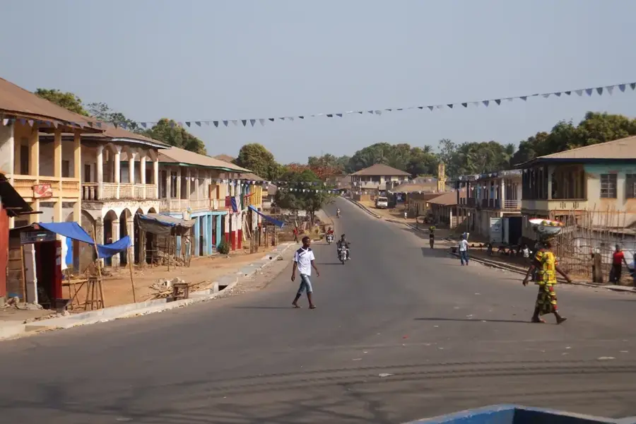
- Location: Sierra Leone
- Nearby: Sumbaria (46 km)
Best time to visit & climate
The most pleasant time to visit is Jan, Feb, Dec.
| Jan | Feb | Mar | Apr | May | Jun | Jul | Aug | Sep | Oct | Nov | Dec | |
|---|---|---|---|---|---|---|---|---|---|---|---|---|
| Avg °C | 24 | 26 | 28 | 28 | 27 | 25 | 24 | 23 | 24 | 25 | 25 | 24 |
| Rain mm | 1 | 4 | 9 | 30 | 101 | 277 | 442 | 539 | 350 | 149 | 40 | 3 |
📋 Practical info
Geography
Facts
- Mount Bintumani is the highest peak in Sierra Leone at 1,945 meters.
- The Loma Mountains Forest Reserve was established in 1952.
- The total area of the protected forest covers 33,201 hectares.
- Over 245 bird species have been recorded within the mountain range.
- The range is home to a significant population of western chimpanzees.
- The mountains serve as the primary watershed for the Bagbe River.
Explore nearby
Notable places around
Route planner — Car & Motorhome
Where do you start? We build the route here, with stops and country notes along the way.
© OpenStreetMap contributors · OpenRouteService
Sights nearby
Frequently asked questions
What is the highlight of the Loma Mountains?
Do you need a permit?
How is the infrastructure?
What equipment is needed?
Can you watch birds there?
Loma Mountains: where is it located?
Loma Mountains: when is the best time to visit?
Loma Mountains: why is it worth visiting?

Nearby cities


History & landmarks

Nature
More places