Plizio Visual Lab
Mont Signal
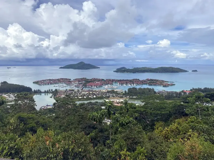
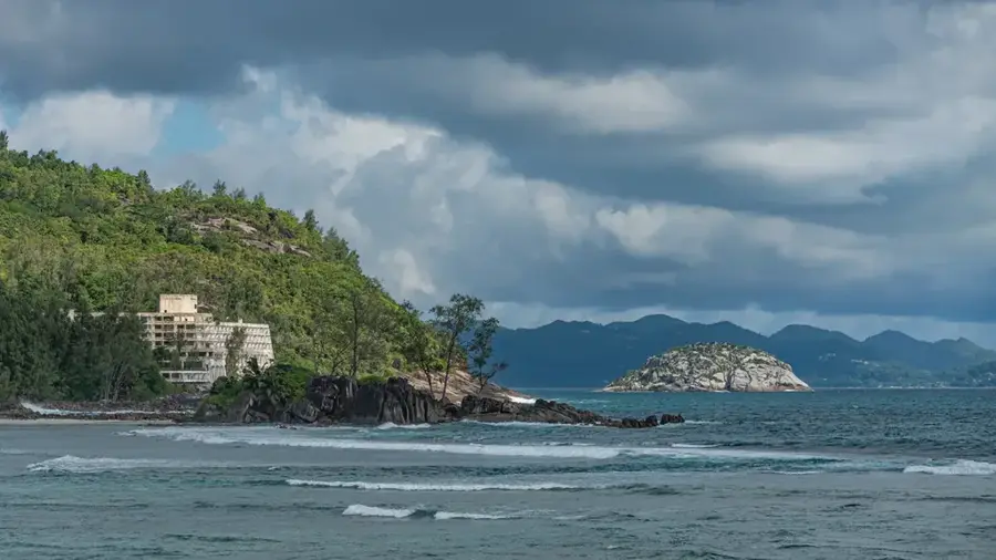
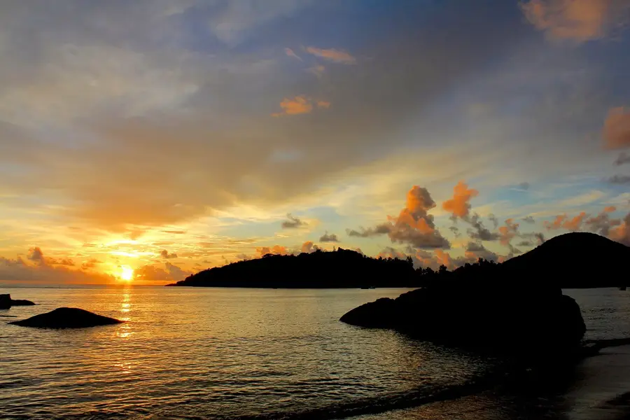
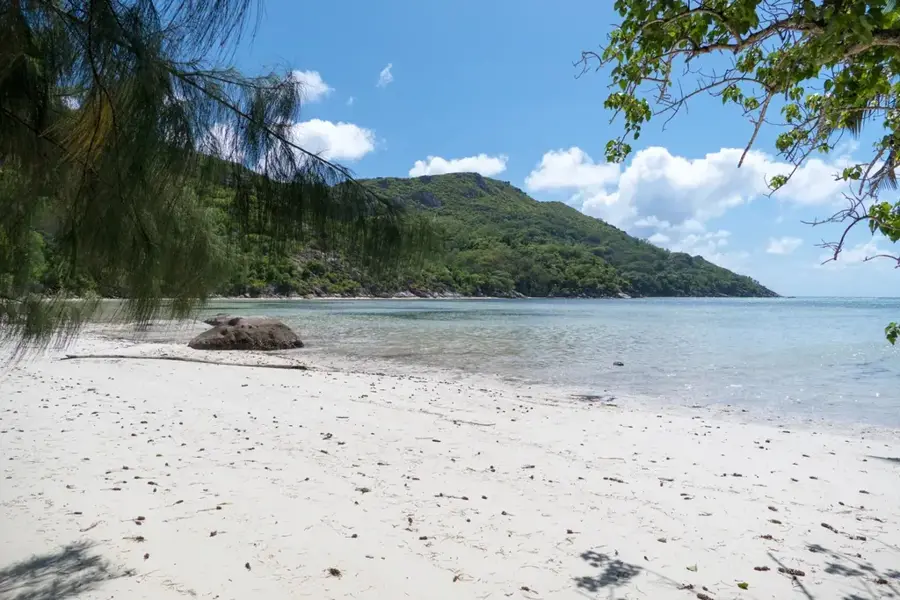
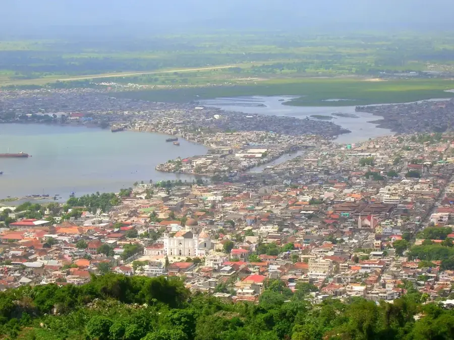
Mont Signal is a historically and geographically significant elevation situated directly above the Seychellois capital, Victoria, on Mahé island. Rising to about 417 meters, the mountain has served as a strategic lookout point since early colonial times. From its summit, signalmen had an unobstructed view of the harbor and could announce approaching ships using flags or light signals, hence its name. Geologically, Mont Signal consists of solid granite, typical of the Seychelles' ancient basement rock. Today, the slopes are partially forested, but the summit also hosts various broadcasting and telecommunications transmitters, utilizing the mountain's central location. Botanically, it features a mix of introduced species and remnants of original coastal mountain vegetation. The ascent provides hikers a unique perspective on the urban grid of Victoria and man-made islands like Eden Island. As a monument to the islands' communication history, Mont Signal remains a key part of the Seychelles' cultural heritage.
- Location: Seychelles
- Top sights: Codevar Building · St. Paul's Cathedral · Clock Tower
- Nearby: Barbarons (4 km)
Best time to visit & climate
The most pleasant time to visit is Jun–Aug.
| Jan | Feb | Mar | Apr | May | Jun | Jul | Aug | Sep | Oct | Nov | Dec | |
|---|---|---|---|---|---|---|---|---|---|---|---|---|
| Avg °C | 27 | 28 | 28 | 29 | 28 | 27 | 26 | 26 | 27 | 27 | 27 | 27 |
| Rain mm | 207 | 109 | 106 | 115 | 94 | 80 | 55 | 62 | 108 | 117 | 124 | 164 |
📋 Practical info
Geography
Facts
- Mont Signal stands at an elevation of 417 meters.
- It was historically used for signaling incoming naval vessels.
- The summit is now a hub for national telecommunications.
- It provides a bird's-eye view of the capital, Victoria.
- The mountain is formed from 750-million-year-old granite.
- It serves as a boundary between several urban districts of Mahé.
Explore nearby
Notable places around
Route planner — Car & Motorhome
Where do you start? We build the route here, with stops and country notes along the way.
© OpenStreetMap contributors · OpenRouteService
Sights in the town Mont Signal (10)
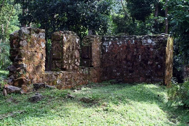
Court monument
Monument near the courthouse in Victoria, Seychelles.
Museum of Natural History🏛 museum
Natural history museum in Victoria, entrance fee 15 SCR (non-resident).
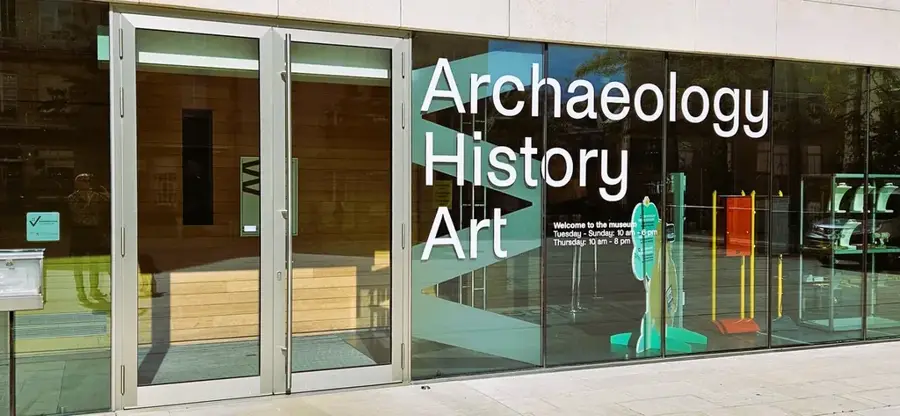
National Museum of History🏛 museum
History museum in Victoria, showcasing the history of Seychelles.
Nouvobanque fountain Monument
Fountain monument of Nouvobanque in Victoria.
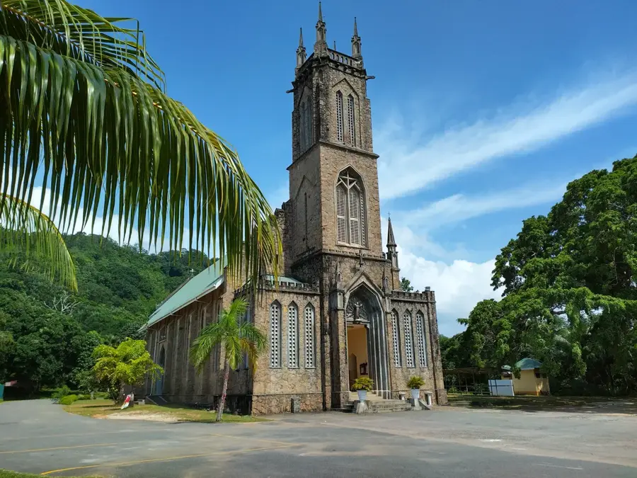
Cathédrale de l'Immaculée Conception
Catholic cathedral in Victoria, Seychelles, built in the 19th century.
Kaz Zanana🏛 museum
Museum in Victoria, showcasing local history and culture of Seychelles.
Sights nearby
Frequently asked questions
Why is the mountain called Mont Signal?
How demanding is the ascent?
Does the mountain offer good photo opportunities?
Is there a parking option there?
How long does the visit take?
Mont Signal: where is it located?
Mont Signal: what is there to see?
Mont Signal: when is the best time to visit?
Mont Signal: why is it worth visiting?

Nearby cities
History & landmarks
Nature
More places