Plizio Visual Lab
Montagne Brulée
Weather…
Water temperature…
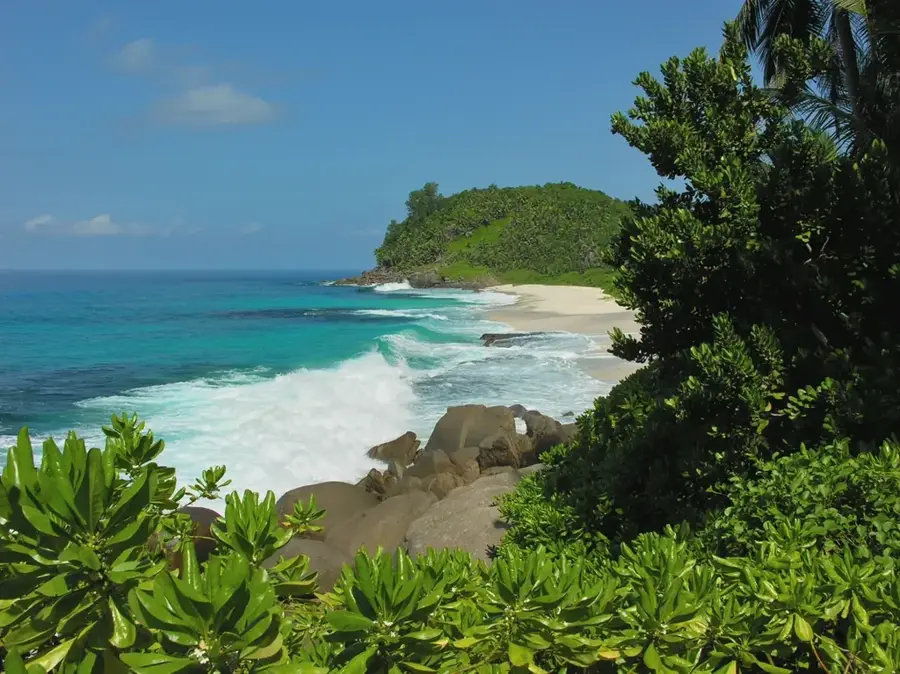
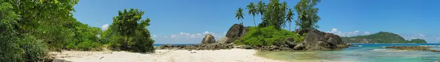
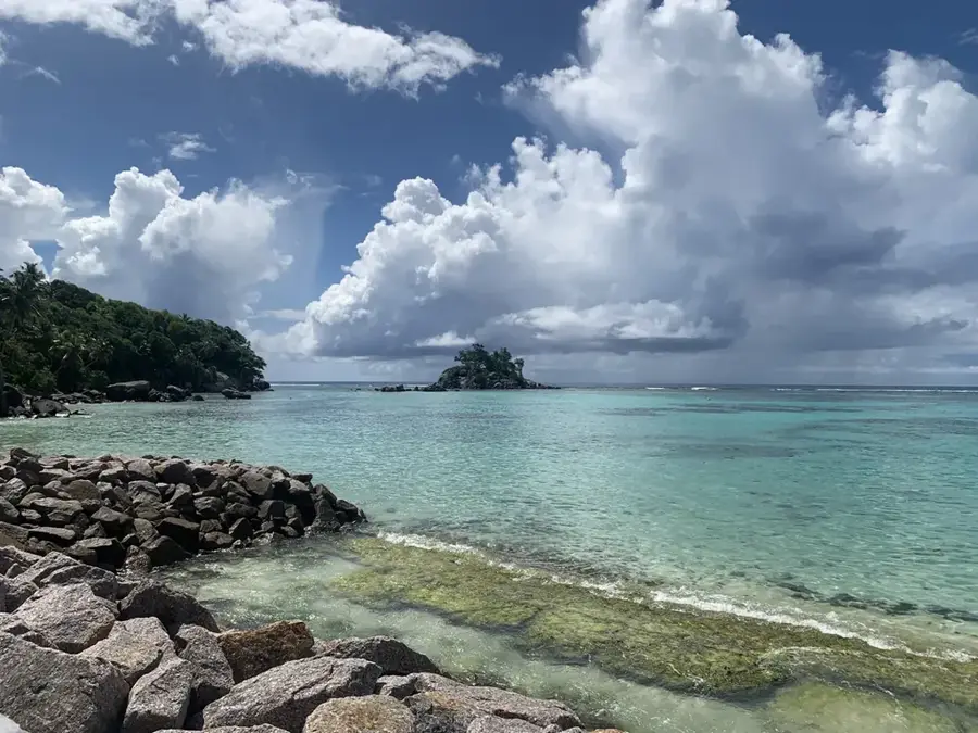
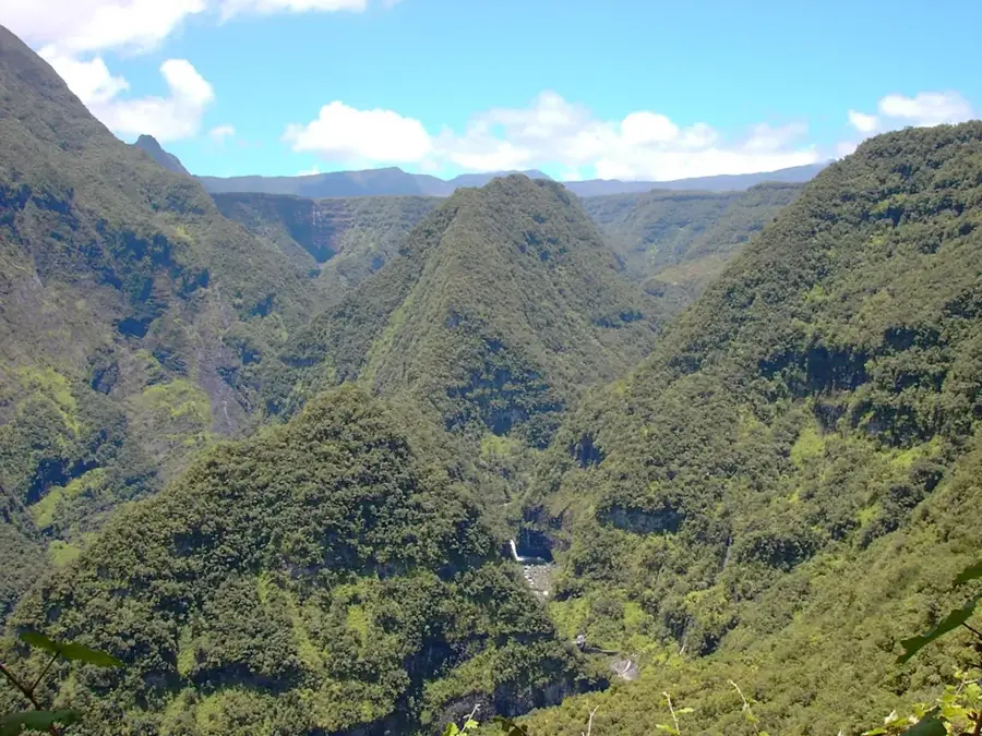
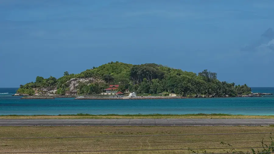
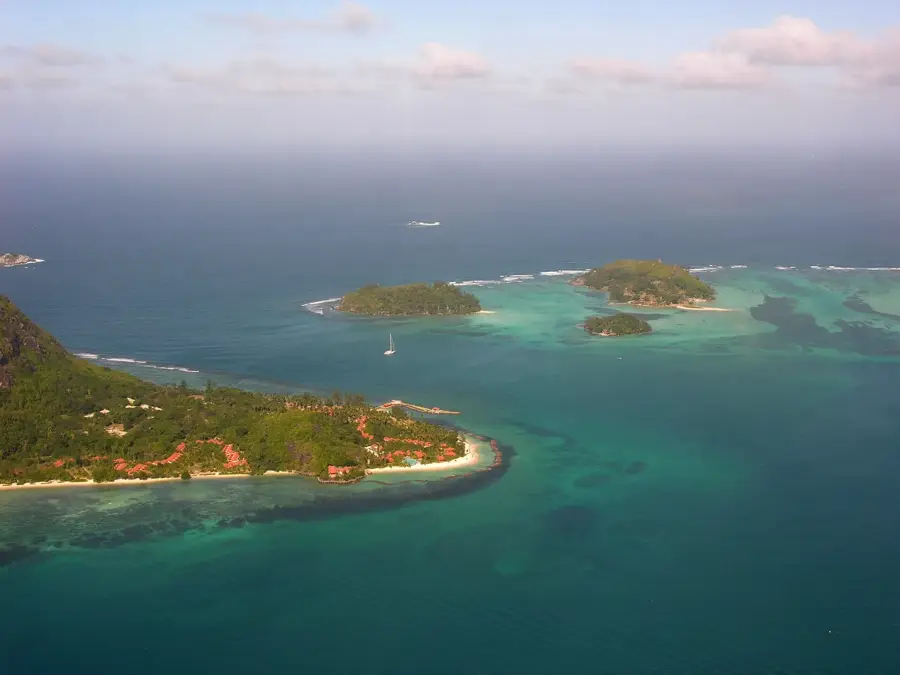
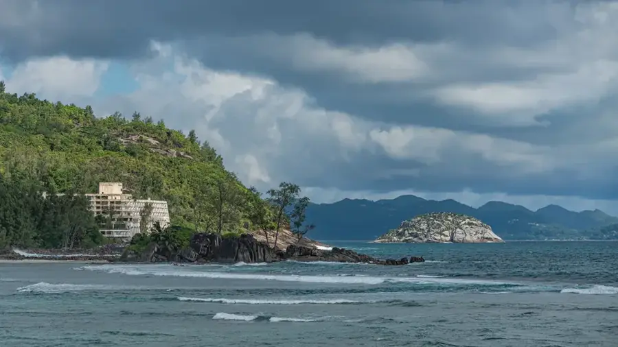
Montagne Brulée is a prominent elevation located in the south-central part of Mahé island in the Seychelles. The name, which translates to 'Burnt Mountain,' likely refers to the extensive clearing and fires that occurred during early settlement history when the land was utilized for agricultural purposes. Rising to an elevation of approximately 500 meters, the mountain provides a significant refuge for the island's endemic flora. Notably, the rare pitcher plant Nepenthes pervillei and the Jellyfish Tree (Medusagyne oppositifolia) are found on its slopes. Geologically, Montagne Brulée is characterized by the typical weathered granite of the Seychelles, often forming bizarre rock formations. A well-maintained hiking trail leads to the summit, offering panoramic views of the west coast and Boileau Bay. Today, the mountain is a vital part of environmental conservation efforts in the Seychelles, serving as a bridge between various protected areas in the center and south of the island.
- Location: Seychelles
- Top sights: Montagne Brulée · Anse Louis · Anse Louis Beach
- Nearby: Providence (4 km)
Best time to visit & climate
The most pleasant time to visit is Jun–Aug.
| Jan | Feb | Mar | Apr | May | Jun | Jul | Aug | Sep | Oct | Nov | Dec | |
|---|---|---|---|---|---|---|---|---|---|---|---|---|
| Avg °C | 27 | 28 | 28 | 29 | 28 | 27 | 26 | 26 | 27 | 27 | 27 | 27 |
| Rain mm | 207 | 109 | 106 | 115 | 94 | 80 | 55 | 62 | 108 | 117 | 124 | 164 |
📋 Practical info
Geography
Facts
- Montagne Brulée rises to approximately 500 meters above sea level.
- Its name originates from colonial-era land clearing fires.
- The extremely rare Jellyfish Tree is found on its rocky slopes.
- The summit offers wide views of the western coastline of Mahé.
- The granite formations exhibit unique tropical weathering features.
- It is a protected area critical for endemic plant conservation.
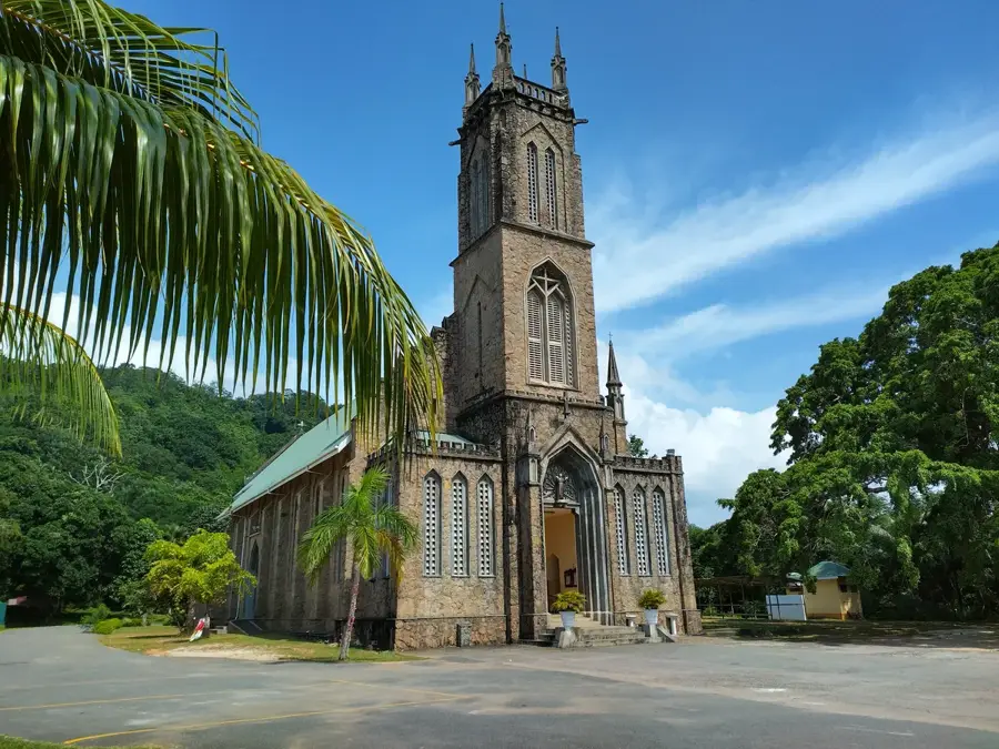
Explore nearby
Notable places around
Route planner — Car & Motorhome
Where do you start? We build the route here, with stops and country notes along the way.
© OpenStreetMap contributors · OpenRouteService
Sights in the town Montagne Brulée (7)
Kot Man - Ya Exotic Flower
A place with exotic flowers, possibly a garden.
Grotte de Lourdes
A replica of the Grotto of Lourdes, a place for prayer.
Le Jardin du Roi
A botanical garden featuring spice plants on Mahé.
Domaine de Val des Pres (Craft Village)🏛 museum
A museum and craft village showcasing traditional arts.
Sights nearby
Frequently asked questions
How do I get up the mountain?
Why the name 'Burnt Mountain'?
Is the hike dangerous?
Does the mountain offer shade?
What is at the summit?
Montagne Brulée: where is it located?
Montagne Brulée: what is there to see?
Montagne Brulée: when is the best time to visit?
Montagne Brulée: why is it worth visiting?

Nearby cities


History & landmarks
More places