Plizio Visual Lab
Serbian Rila foothills
Weather…
Water temperature…
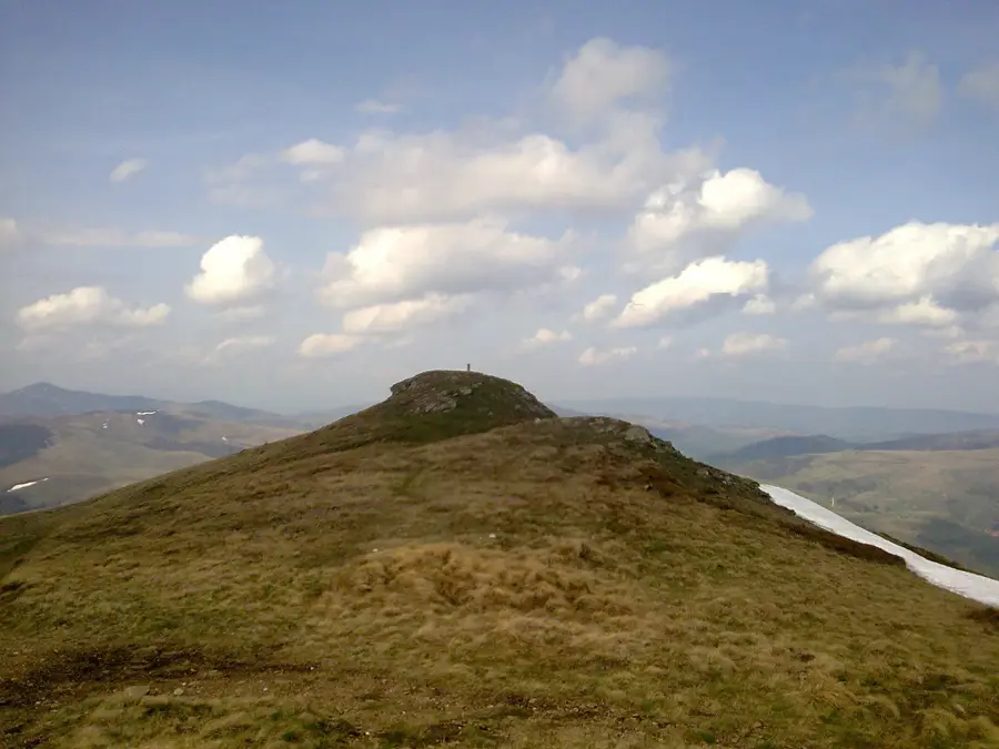
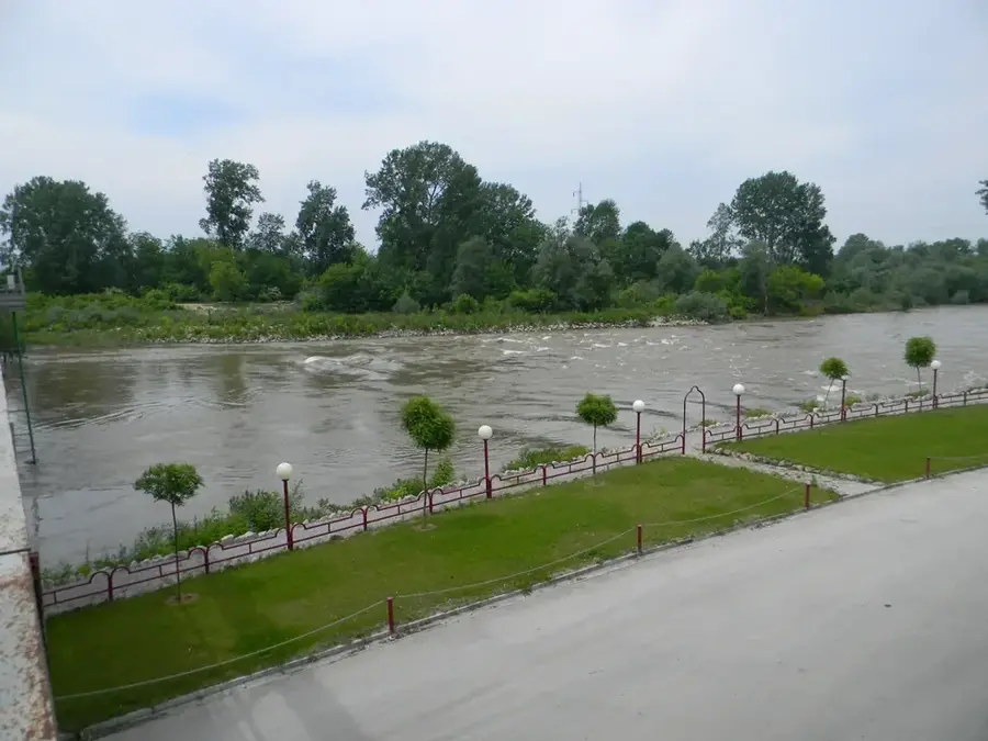
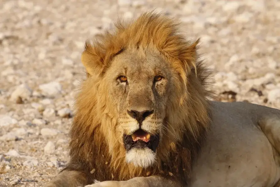
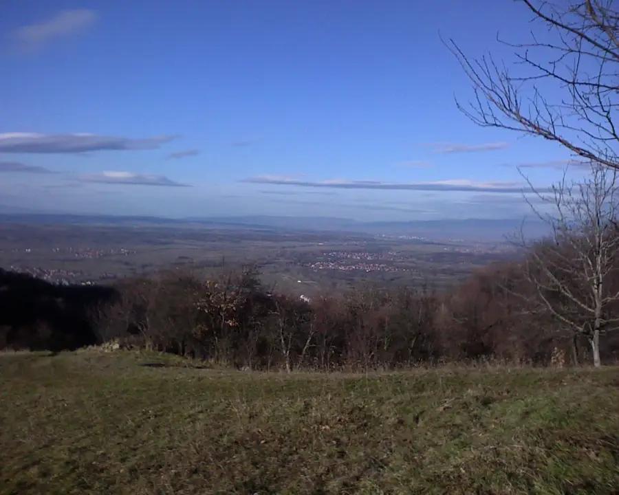
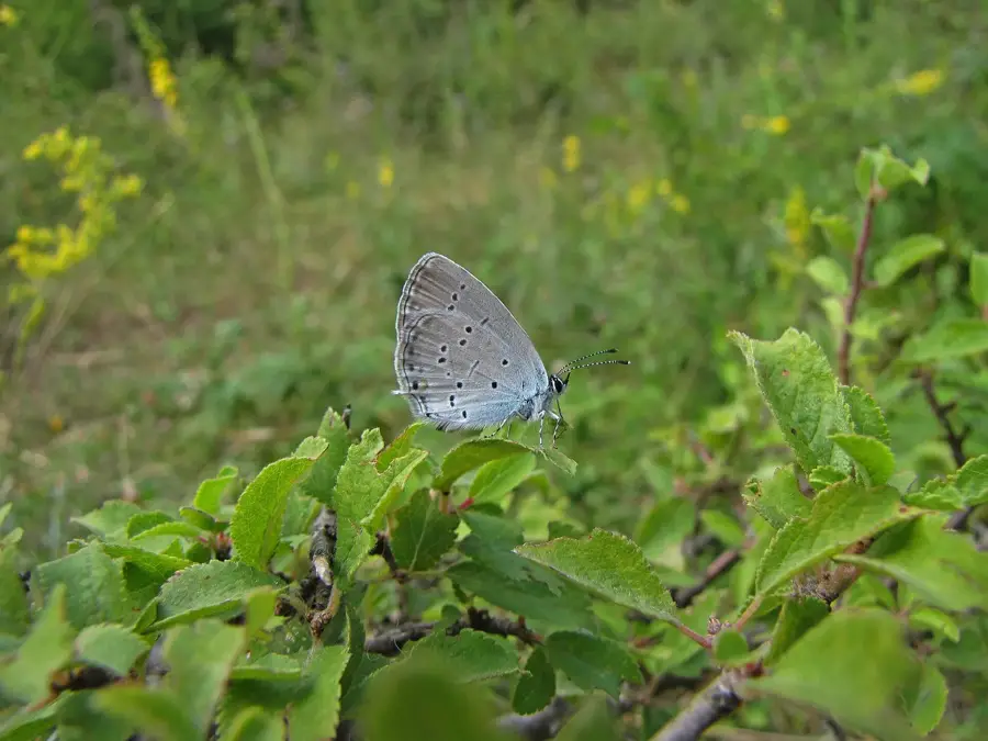
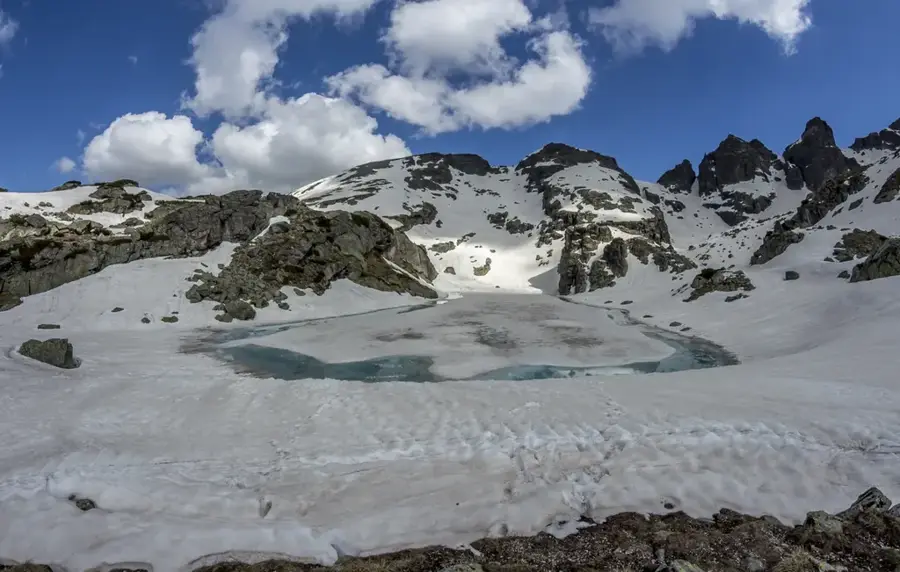
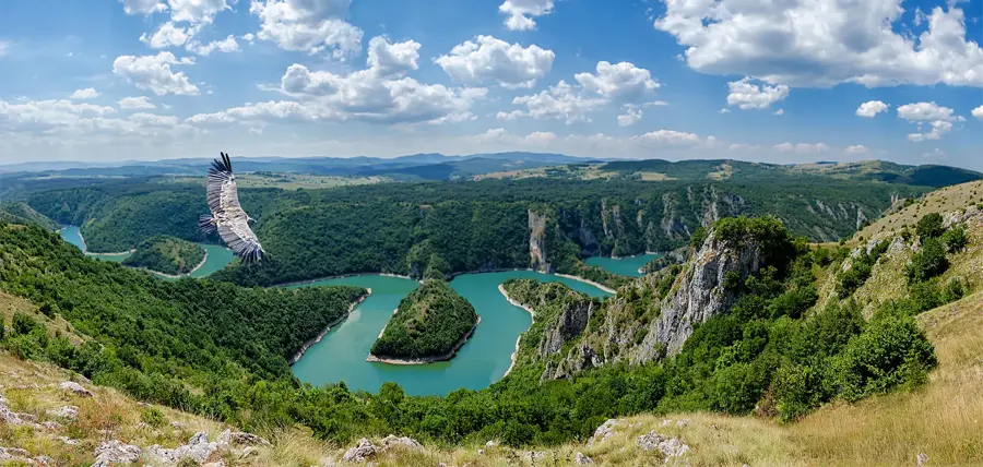
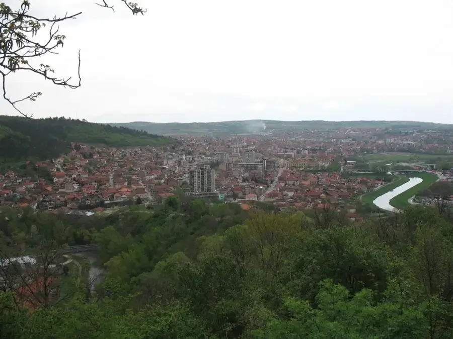
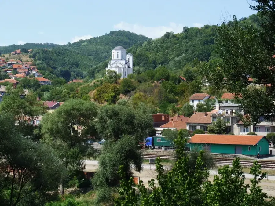
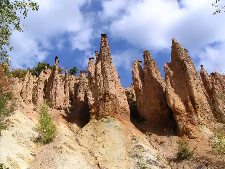
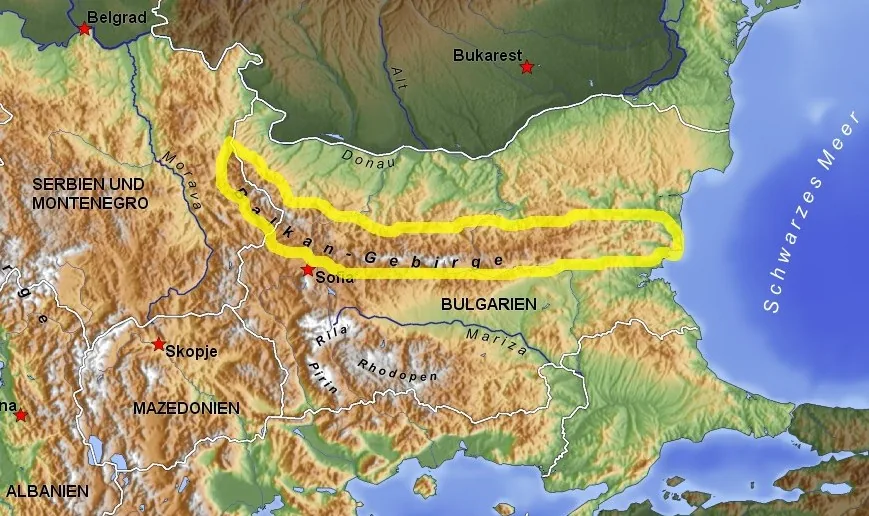
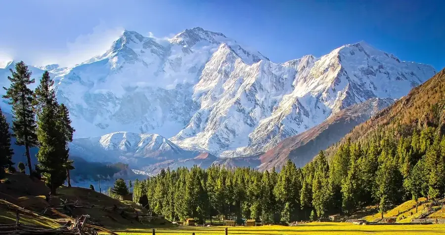
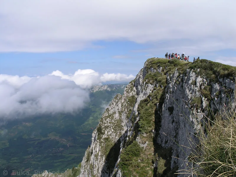
The Serbian Rila foothills, geographically identified with the Dukat and Milevska mountains in the extreme southeast of the country, form a transitional zone towards the higher Rila-Rhodope massif. This rugged region, part of the Balkan-Carpathian mountain system, is characterized by its high average elevation and deep, narrow valleys carved by the tributaries of the Struma River. The highest peak in the Serbian section is Crnook, reaching 1,829 meters on the Dukat mountain. Geologically, these mountains are composed of ancient metamorphic rocks like gneiss and schists, which contribute to the rounded topography of the summits. The area is sparsely populated, preserving a traditional pastoral lifestyle and vast expanses of mountain pastures used for sheep herding. Due to the proximity to the Bulgarian and North Macedonian borders, the region has significant strategic and historical importance, reflected in the remnants of old fortifications and border posts. The climate is harsh, with long, snowy winters and cool summers, fostering a biodiversity that includes rare alpine flora and large mammals like grey wolves and wild boars.
- Location: Serbia
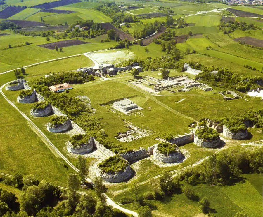
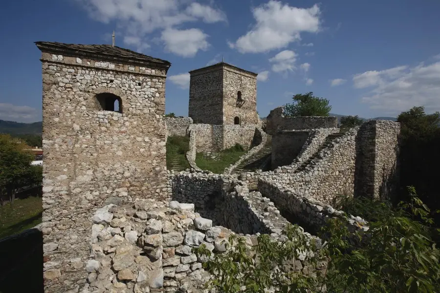
- Top sights: Gornje Tlamino · Karamanica
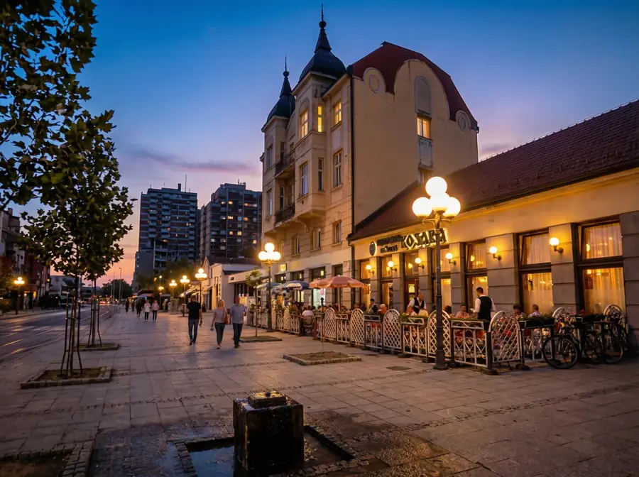
- Nearby: Vranje (44 km)
Best time to visit & climate
The most pleasant time to visit is Jun–Aug.
| Jan | Feb | Mar | Apr | May | Jun | Jul | Aug | Sep | Oct | Nov | Dec | |
|---|---|---|---|---|---|---|---|---|---|---|---|---|
| Avg °C | -3 | -1 | 2 | 7 | 12 | 17 | 19 | 19 | 15 | 9 | 4 | -1 |
| Rain mm | 46 | 41 | 52 | 56 | 70 | 71 | 52 | 50 | 49 | 60 | 50 | 51 |
📋 Practical info
Geography
Facts
- Crnook summit is the highest point at 1,829 meters.
- The mountains are primarily composed of gneiss and schists.
- The drainage belongs to the Struma river basin system.
- It is located at the tri-border area of Serbia, Bulgaria, and North Macedonia.
- High-altitude sheep herding remains a common traditional practice.
- The landscape features numerous remnants of old border fortifications.
Explore nearby
Notable places around
Route planner — Car & Motorhome
Where do you start? We build the route here, with stops and country notes along the way.
© OpenStreetMap contributors · OpenRouteService
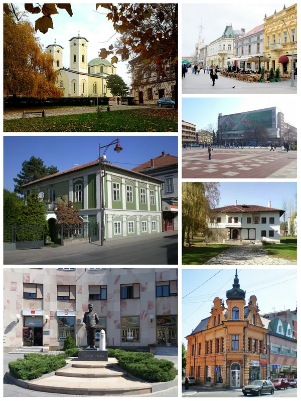
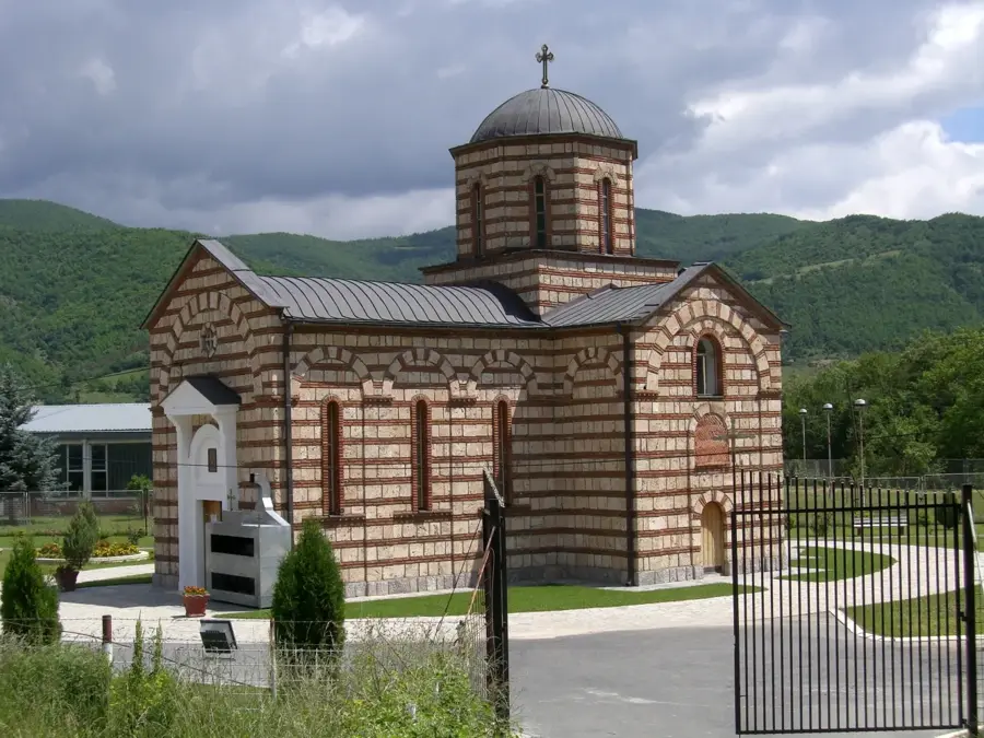
Sights in the town Serbian Rila foothills (2)
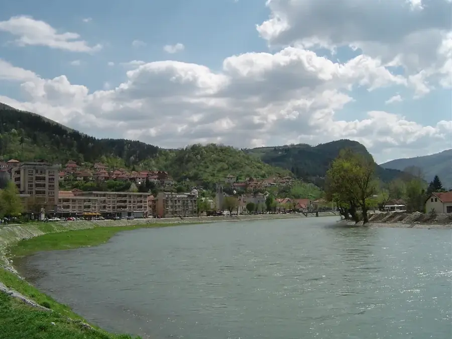
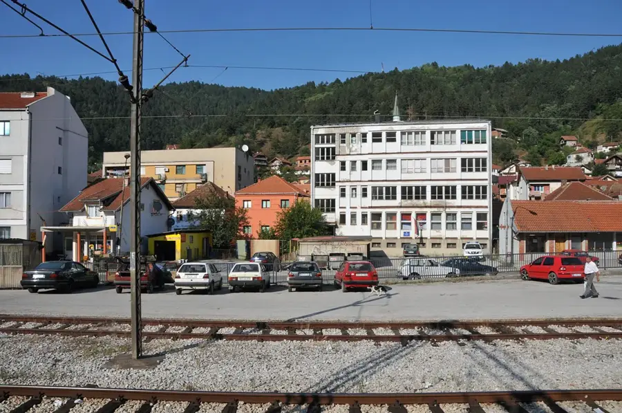
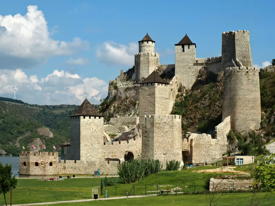
Sights nearby
Frequently asked questions
Do the Rila mountains belong to Serbia?
What is the terrain like?
Are there border controls?
Can you see rare animals there?
When is there snow there?
Serbian Rila foothills: where is it located?
Serbian Rila foothills: what is there to see?
Serbian Rila foothills: when is the best time to visit?
Serbian Rila foothills: why is it worth visiting?

Nearby cities

History & landmarks
Nature


More places