Plizio Visual Lab
Kukavica Mountain
Weather…
Water temperature…
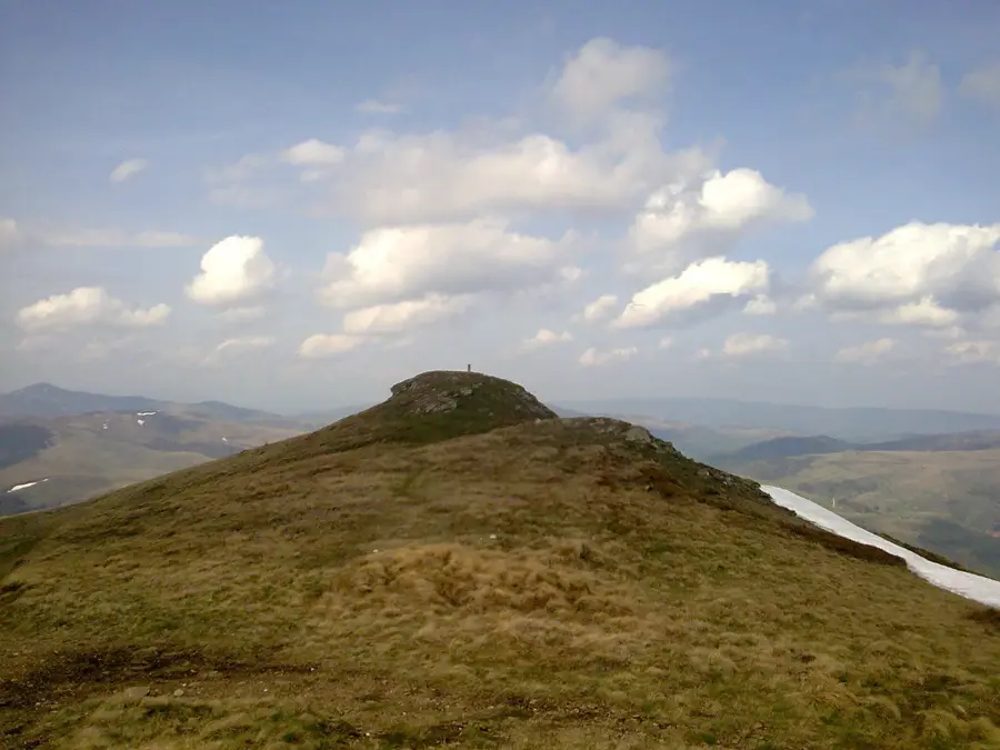
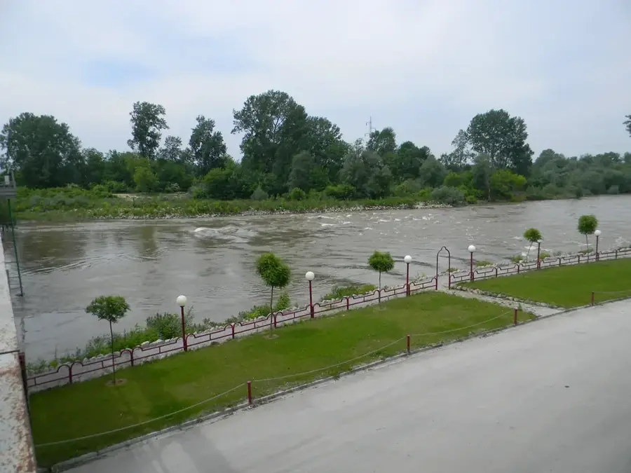
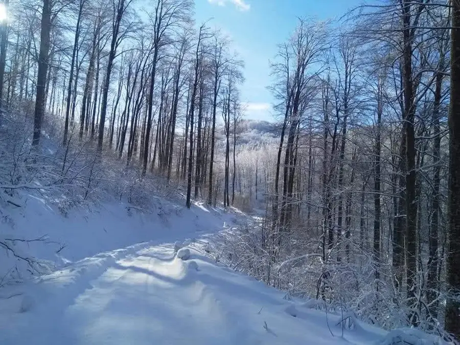
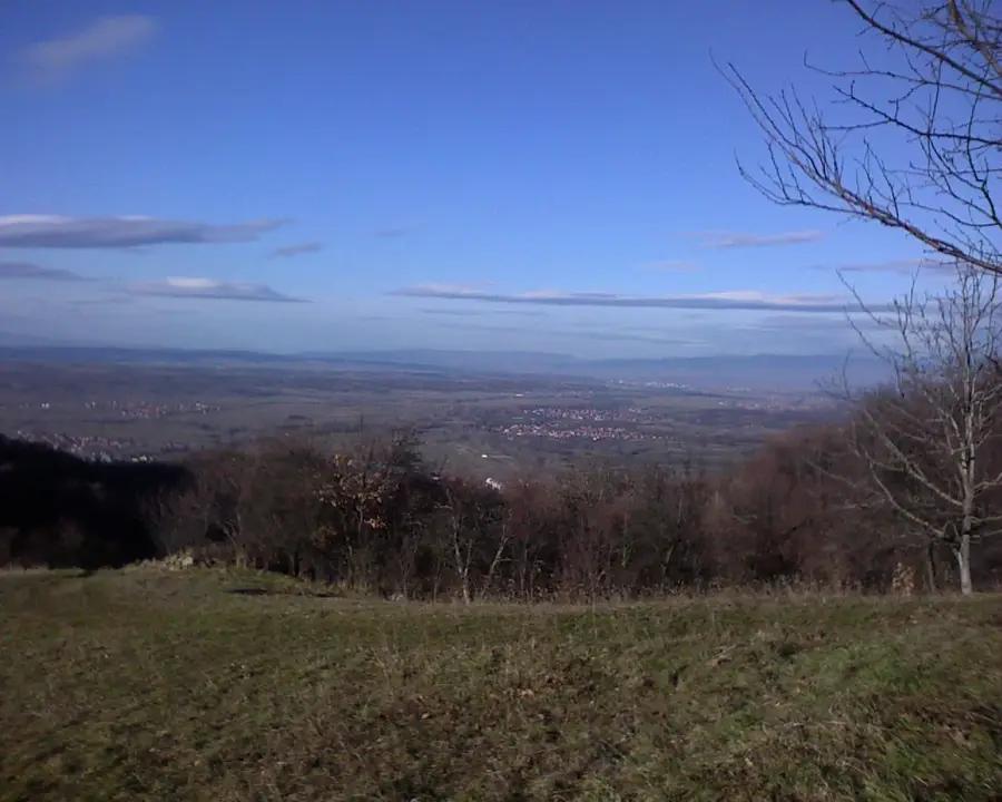
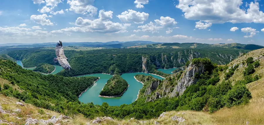
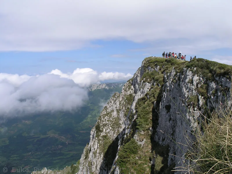
Kukavica Mountain is a massive mountain range in southern Serbia, extending south of the city of Leskovac and forming a natural divide between the South Morava valley and the Vlasina region. Its highest summit is Vlaina, standing at,1442 meters above sea level, providing expansive views over the surrounding basins. Geologically, the mountain is composed of ancient crystalline rocks and is celebrated for its vast, unbroken beech forests, which are among the most pristine in the entire Balkan region. Due to its rugged terrain and lack of permanent high-altitude settlements, Kukavica has remained an ecological sanctuary with high levels of biodiversity. Historically, the area is significant for the Vučje hydroelectric power plant at its base, built in 1903, which remains one of the oldest operational plants globally. The mountain is rich in water resources, with numerous clear springs and streams flowing through deep valleys. Today, it serves as a destination for hikers and eco-tourists who value untouched nature and the peacefulness of a landscape largely unaffected by modern development.
- Location: Serbia
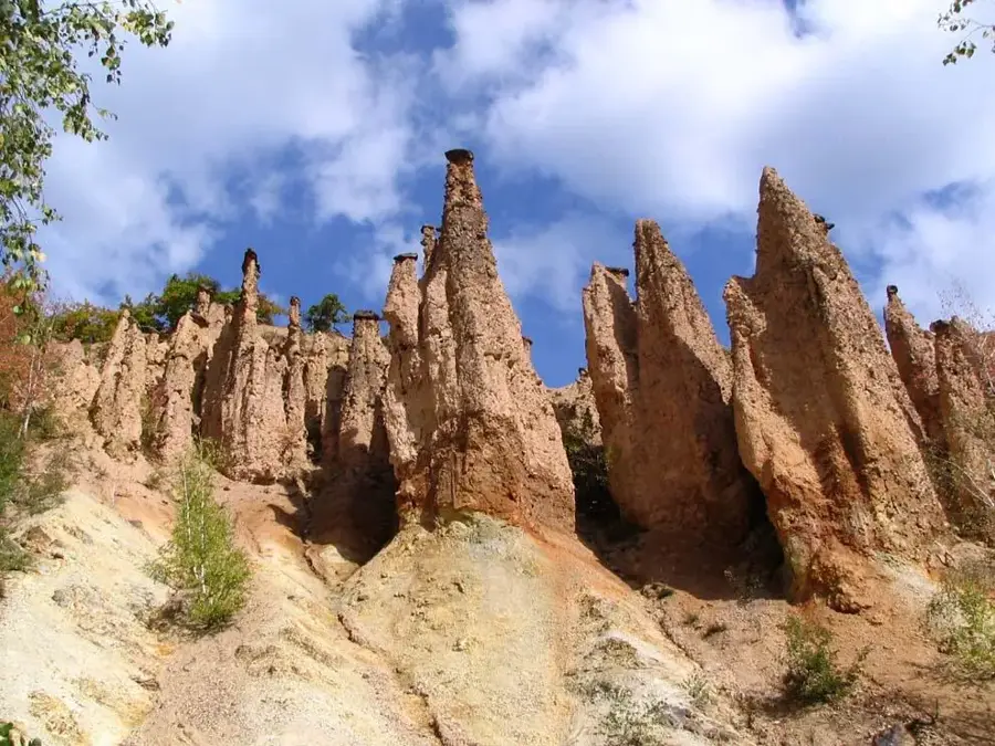
- Top sights: Rdovo · Zebince · Gornje Jabukovo
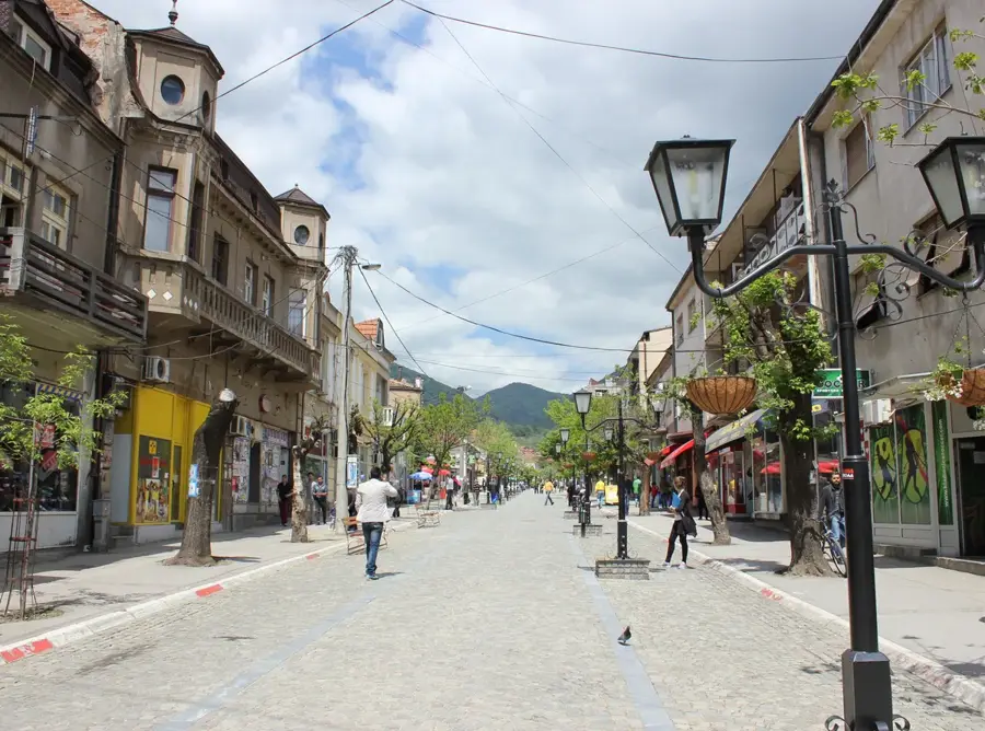
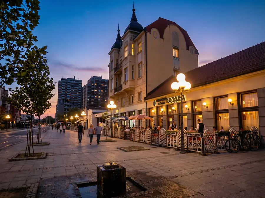
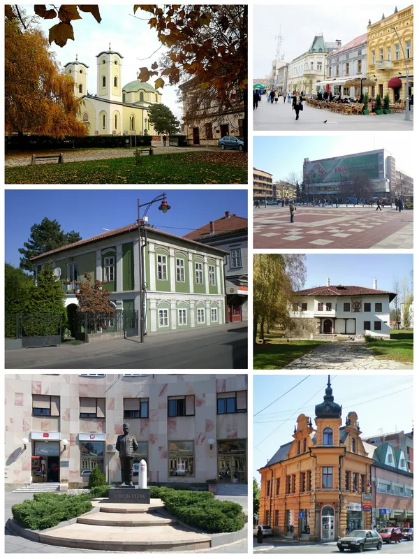
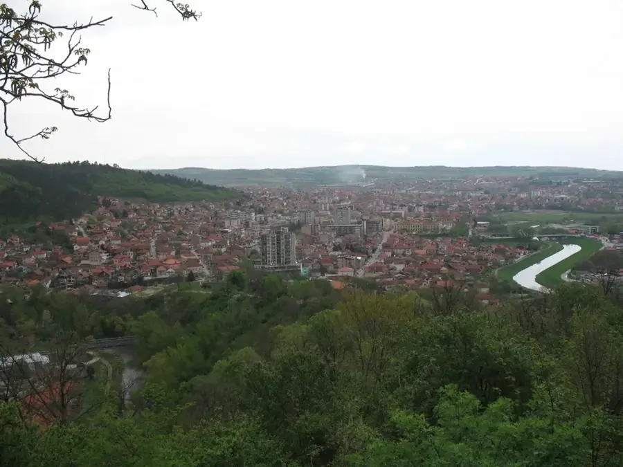
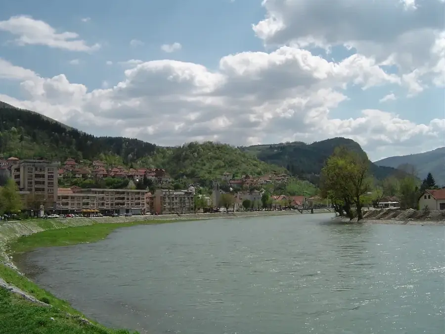
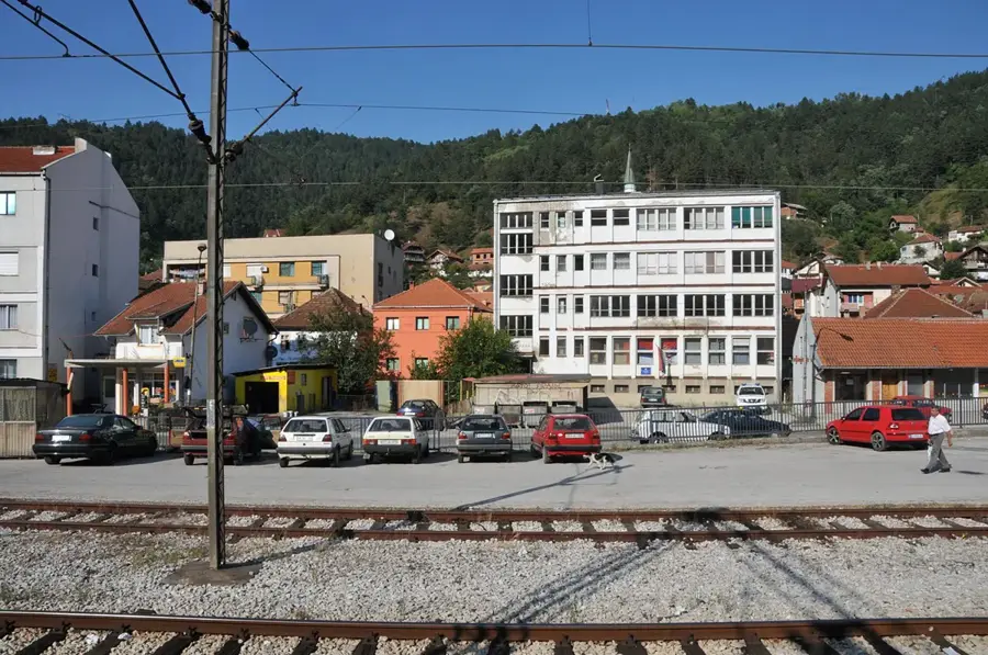
- Nearby: Vladičin Han (7 km)
Best time to visit & climate
The most pleasant time to visit is Jun–Aug.
| Jan | Feb | Mar | Apr | May | Jun | Jul | Aug | Sep | Oct | Nov | Dec | |
|---|---|---|---|---|---|---|---|---|---|---|---|---|
| Avg °C | -1 | 1 | 5 | 10 | 15 | 20 | 23 | 23 | 18 | 12 | 6 | 0 |
| Rain mm | 49 | 46 | 56 | 59 | 75 | 70 | 55 | 48 | 48 | 60 | 55 | 55 |
📋 Practical info
Geography
Facts
- The highest peak is Vlaina, at an elevation of 1,442 meters.
- Kukavica features one of the largest continuous beech forests in Serbia.
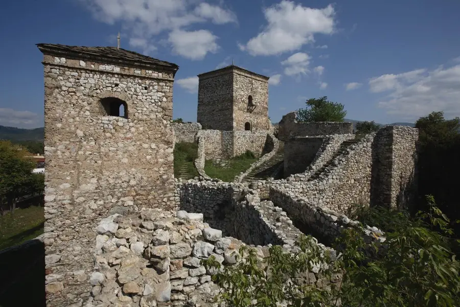
- The Vučje power plant (1903) at its base is a world technical landmark.
- There are almost no permanent human settlements at higher altitudes.
- The mountain is geologically part of the ancient Rhodope massif.
- It is highly regarded as a sanctuary for rare wildlife and medicinal plants.
Explore nearby
Notable places around
Route planner — Car & Motorhome
Where do you start? We build the route here, with stops and country notes along the way.
© OpenStreetMap contributors · OpenRouteService
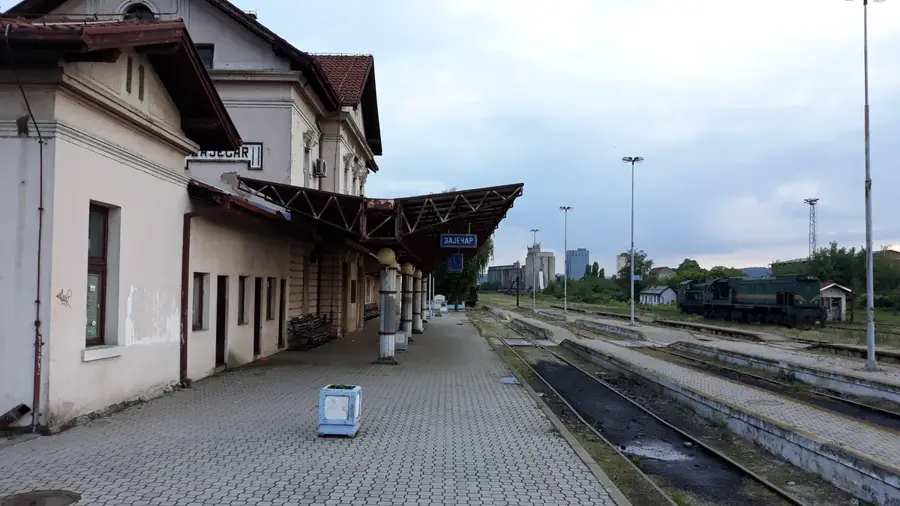
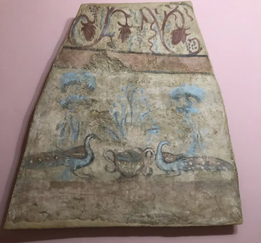
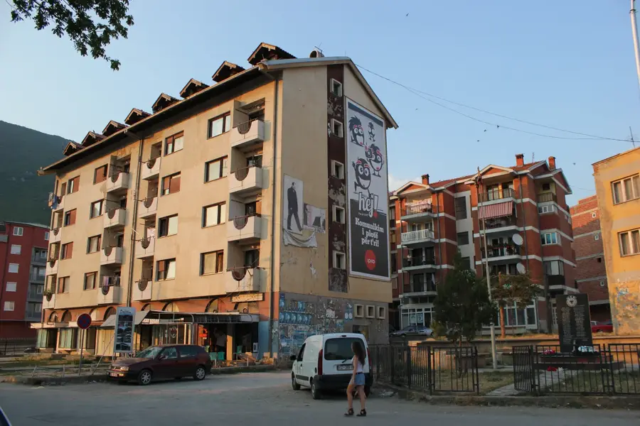
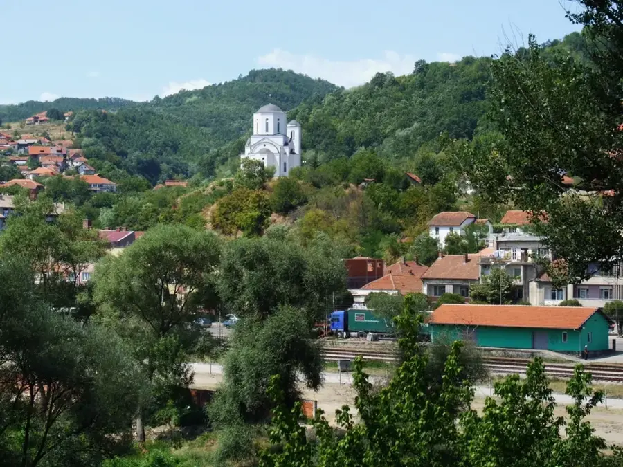
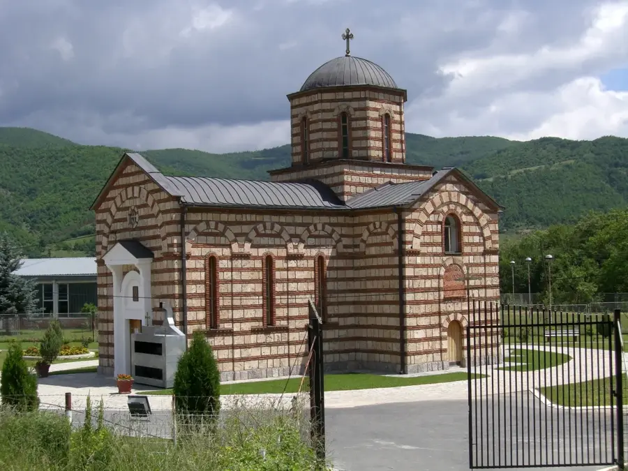
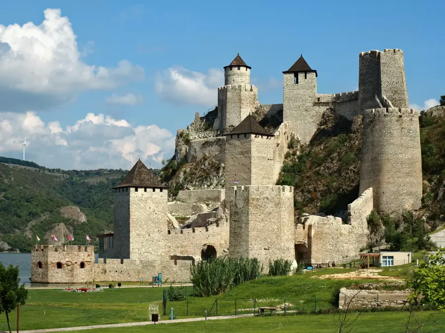
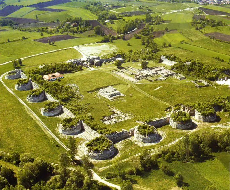
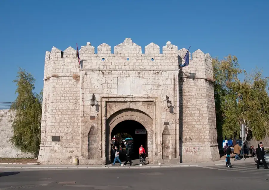
Sights in the town Kukavica Mountain (3)
Sights nearby
Frequently asked questions
Where is the Kukavica mountain located?
What is the name known for?
What is the maximum height?
How is the vegetation?
Is there a mountain hut there?
Kukavica Mountain: where is it located?
Kukavica Mountain: what is there to see?
Kukavica Mountain: when is the best time to visit?
Kukavica Mountain: why is it worth visiting?

Nearby cities


History & landmarks

Nature

More places