Plizio Visual Lab
Pico Papagaio
Weather…
Water temperature…
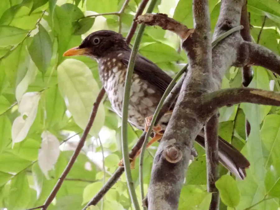
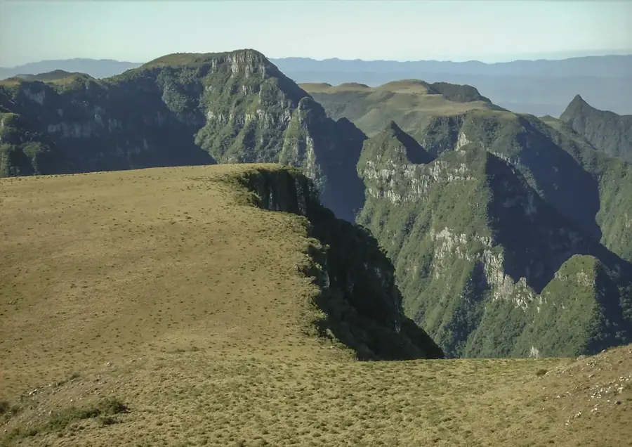
Pico Papagaio is a prominent volcanic peak on Príncipe island, reaching an altitude of approximately 680 meters above level. Located within the Obo National Park, it is known for its characteristic phonolitic needle structure that rises steeply from the surrounding rainforest. The name "Parrot Peak" derives from the numerous grey parrots that nest in the dense forests on its slopes. A hike to the summit is challenging and leads through pristine terrain, but has spectacular views over the entire island and the coastline. The region around Pico Papagaio is a biodiversity hotspot, home to many plant species found nowhere else in the world. Geologically, the mountain is a relic of the volcanic activity that shaped the Cameroon Line archipelago millions of years ago.
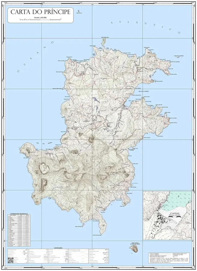
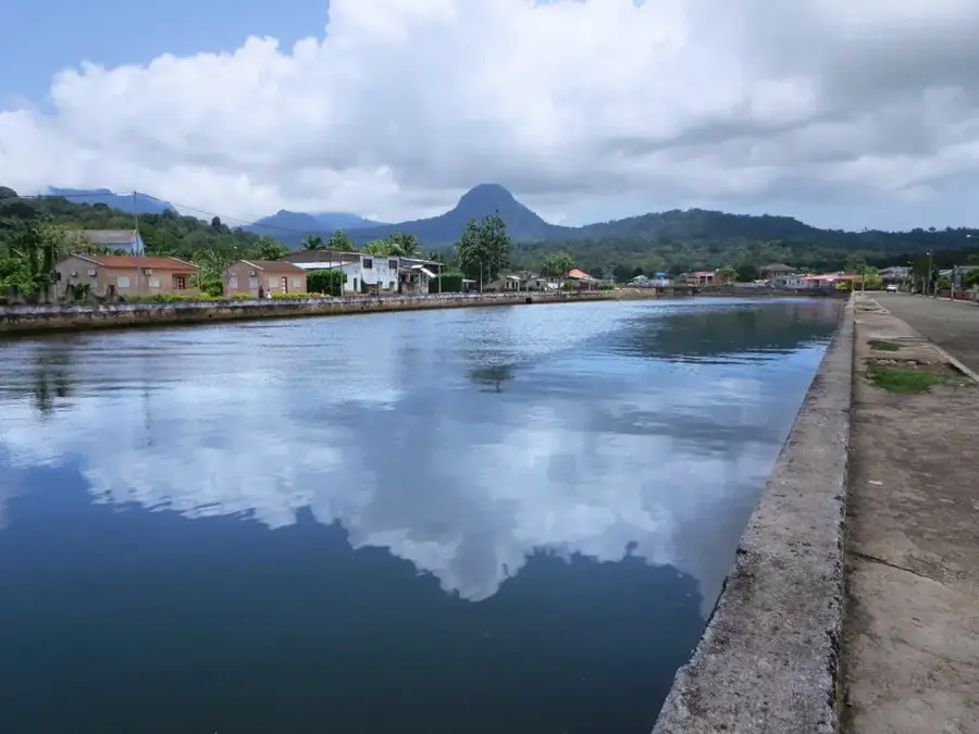
- Location: São Tomé & Príncipe
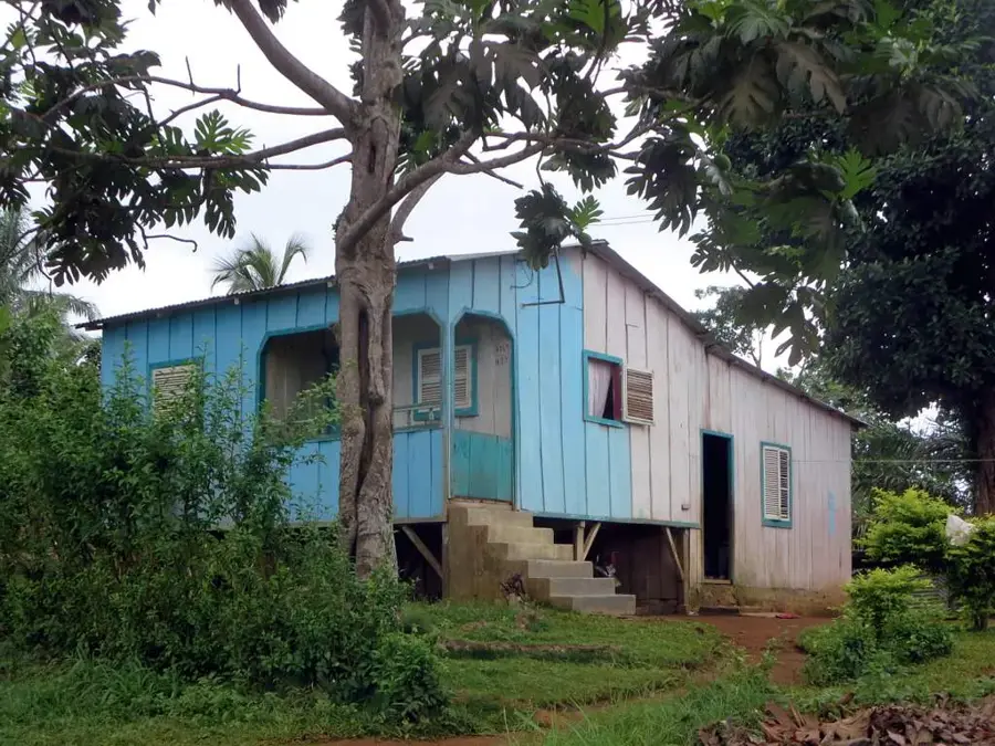
- Nearby: Paciência (5 km)
Best time to visit & climate
The most pleasant time to visit is Jun–Aug.
| Jan | Feb | Mar | Apr | May | Jun | Jul | Aug | Sep | Oct | Nov | Dec | |
|---|---|---|---|---|---|---|---|---|---|---|---|---|
| Avg °C | 27 | 28 | 28 | 28 | 27 | 26 | 25 | 25 | 26 | 26 | 27 | 27 |
| Rain mm | 141 | 136 | 205 | 202 | 175 | 75 | 40 | 37 | 98 | 226 | 232 | 155 |
📋 Practical info
Geography
Facts
- Reaches an altitude of approximately 680 meters.
- Characterized by a phonolitic volcanic structure.
- Located within the Obo National Park on Príncipe.
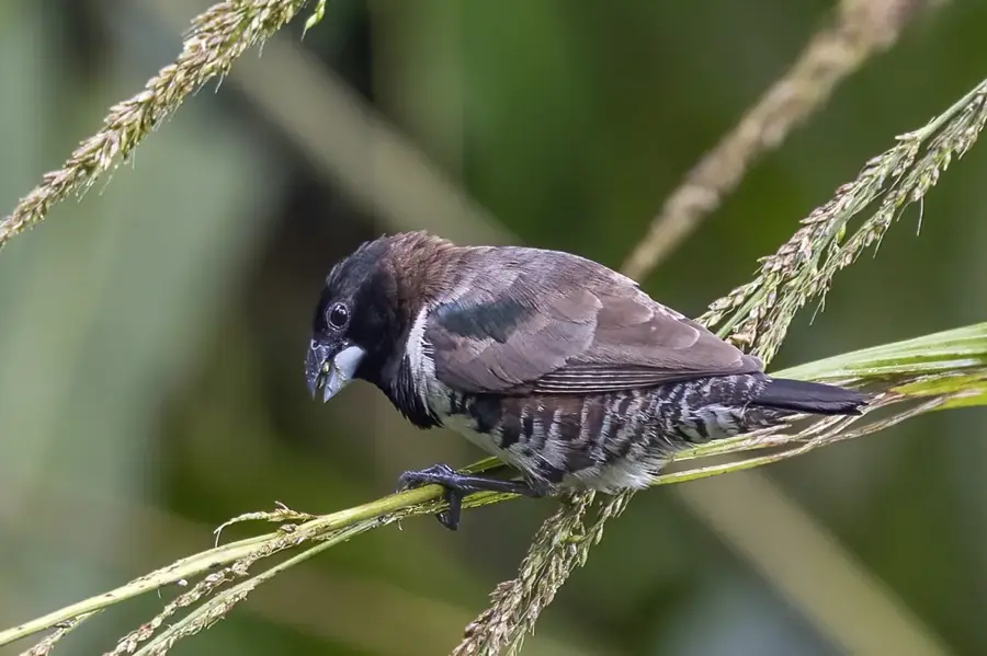
- Named after the African Grey Parrots found in the area.
- The summit offers a 360-degree panoramic view of the island.
- Formed as part of the Cameroon Line volcanic chain.
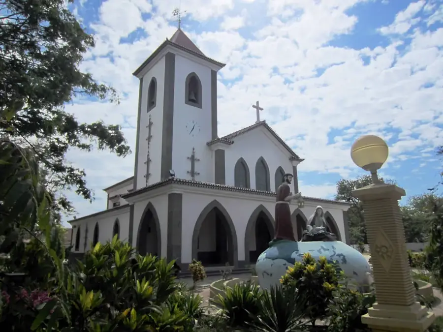
Explore nearby
Notable places around
Route planner — Car & Motorhome
Where do you start? We build the route here, with stops and country notes along the way.
© OpenStreetMap contributors · OpenRouteService
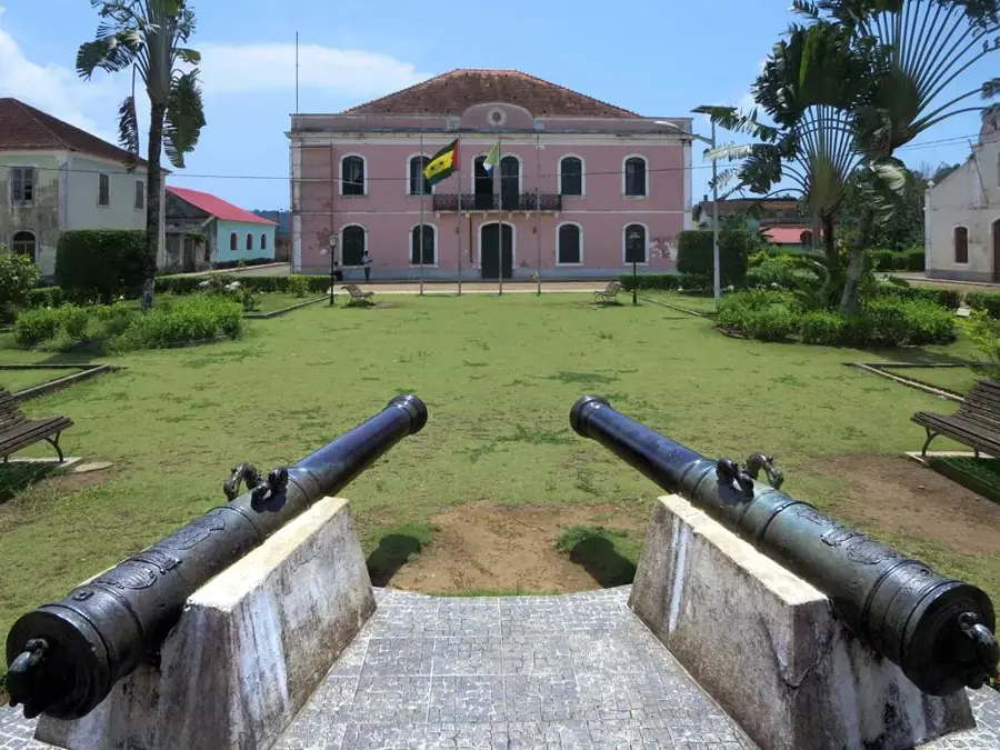
Sights in the town Pico Papagaio (1)
Sights nearby
Frequently asked questions
Is the peak hard to reach?
Do I need a guide?
Are there animals there?
When is the best time for the tour?
Do I need a lot of gear?
Pico Papagaio: where is it located?
Pico Papagaio: when is the best time to visit?
Pico Papagaio: why is it worth visiting?

Nearby cities


History & landmarks

More places