Plizio Visual Lab
Ponta da Mina Lighthouse
Weather…
Water temperature…
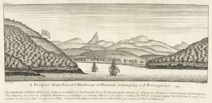
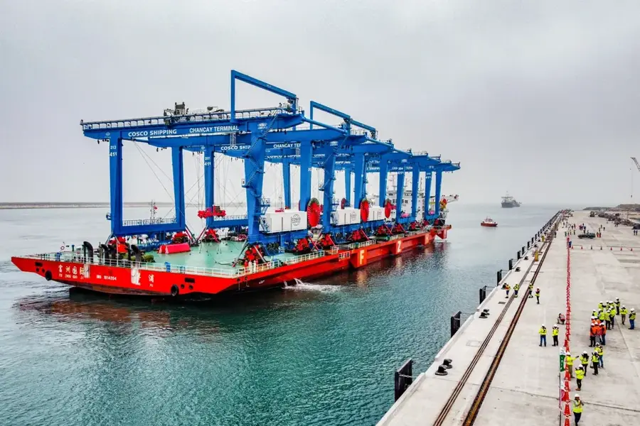
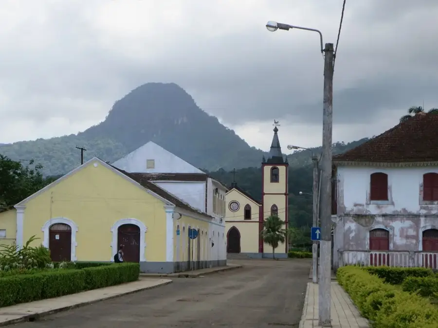
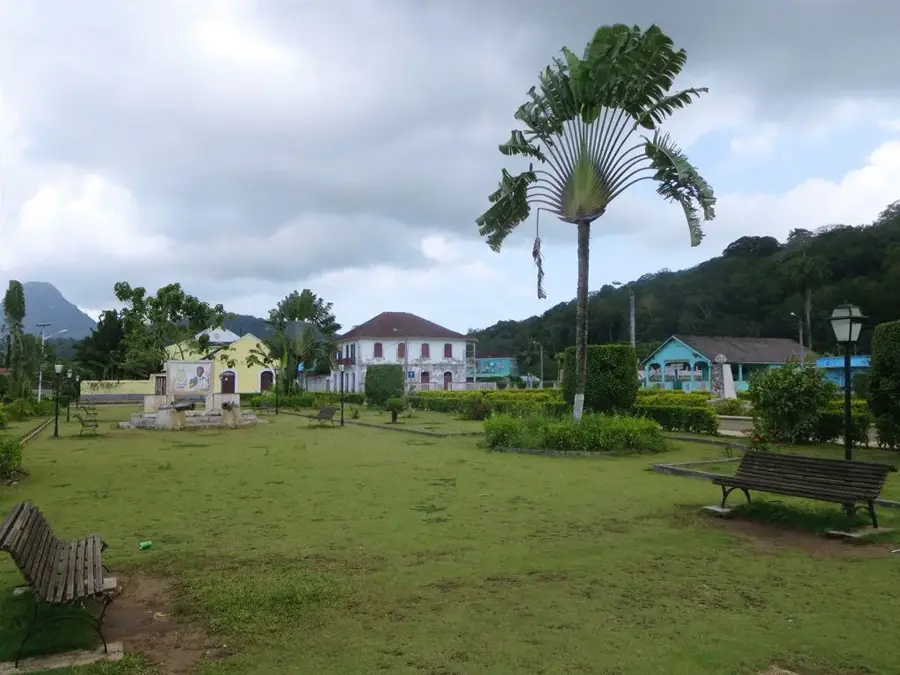
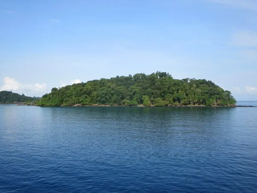
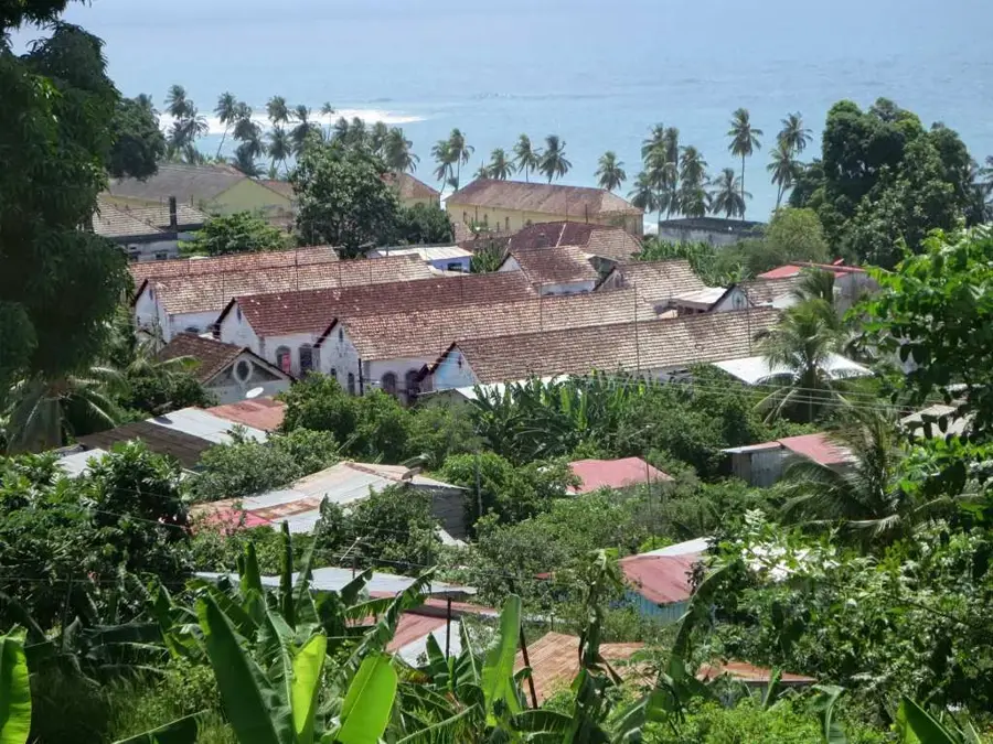
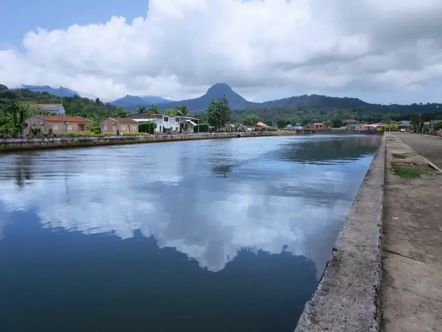
The Ponta da Mina Lighthouse (Farol da Ponta da Mina) marks the eastern entrance to the Bay of Santo António on Príncipe Island. It is located at a historically significant site, near the ruins of the Fortaleza de Ponta da Mina, a 17th-century fortress that once defended the island against pirate attacks. The current lighthouse is a crucial navigation point for vessels entering the Port of Santo António. Geographically, it perches on a headland that provides expansive views over the Atlantic Ocean and the rugged coastline of Príncipe. The architecture is utilitarian, reflecting the maritime infrastructure of the early 20th century. This site links colonial military history with modern seafaring and serves as a symbol of the island's strategic importance in the Gulf of Guinea. Despite weathering from the tropical climate, it remains a distinctive guide for sailors.
- Location: São Tomé & Príncipe
- Nearby: São Joaquim (Forest Edge) (4 km)
Best time to visit & climate
The most pleasant time to visit is Jun–Aug.
| Jan | Feb | Mar | Apr | May | Jun | Jul | Aug | Sep | Oct | Nov | Dec | |
|---|---|---|---|---|---|---|---|---|---|---|---|---|
| Avg °C | 27 | 28 | 28 | 28 | 27 | 26 | 25 | 25 | 26 | 26 | 27 | 27 |
| Rain mm | 141 | 136 | 205 | 202 | 175 | 75 | 40 | 37 | 98 | 226 | 232 | 155 |
📋 Practical info
Geography
Facts
- The lighthouse marks the entrance to the Bay of Santo António.
- It was built near a fortress dating back to 1695.
- The current tower was constructed in the mid-20th century.
- The light signal is a critical landmark for cargo vessels.
- Whales and dolphins can often be spotted from the headland.
- The path to the lighthouse winds through dense tropical vegetation.
Explore nearby
Notable places around
Route planner — Car & Motorhome
Where do you start? We build the route here, with stops and country notes along the way.
© OpenStreetMap contributors · OpenRouteService
Sights in the town Ponta da Mina Lighthouse (1)
Sights nearby
Frequently asked questions
Why is the place historically important?
Can you visit the lighthouse?
How do you get to the lighthouse?
Are you allowed to camp nearby?
Is a visit in the evening worth it?
Ponta da Mina Lighthouse: where is it located?
Ponta da Mina Lighthouse: when is the best time to visit?
Ponta da Mina Lighthouse: why is it worth visiting?

Nearby cities


History & landmarks

More places