Plizio Visual Lab
Turgai Plateau
Weather…
Water temperature…
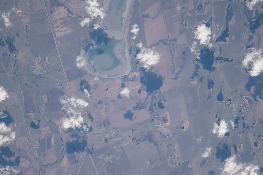
The Turgai Plateau is an extensive upland region located in Northwestern Kazakhstan and the adjacent Russian borderlands, situated between the Ural Mountains and the Kazakh Uplands. It serves as a vital geographic bridge connecting the West Siberian Plain to the north with the Turan Basin to the south. The plateau's structure is composed of flat-lying sedimentary layers from the Mesozoic and Cenozoic eras, bisected by the Turgai Depression, a broad erosional trough. Average elevations range between 200 and 300 meters, featuring a landscape of vast steppes and semi-deserts. The climate is semi-arid and continental, with hot summers and cold winters. Economically, the plateau is of immense significance due to its massive deposits of magnetite iron ore, bauxite, and coal. Historically, the Turgai Strait (a prehistoric seaway) once occupied this area, and the depression remains a critical migration corridor for birds and animals between Siberia and Central Asia.
Best time to visit & climate
The most pleasant time to visit is Jun–Aug.
| Jan | Feb | Mar | Apr | May | Jun | Jul | Aug | Sep | Oct | Nov | Dec | |
|---|---|---|---|---|---|---|---|---|---|---|---|---|
| Avg °C | -16 | -14 | -5 | 6 | 15 | 20 | 22 | 21 | 14 | 4 | -4 | -13 |
| Rain mm | 18 | 21 | 29 | 32 | 39 | 32 | 35 | 25 | 23 | 33 | 26 | 24 |
📋 Practical info
Geography
Facts
- The plateau maintains an average elevation between 200 and 300 meters.
- The Turgai Depression is a key migratory path for the Siberian Crane.
- It hosts one of the largest iron ore basins in the world.
- A prehistoric seaway known as the Turgai Sea existed here 35 million years ago.
- Bauxite deposits in this area provide the raw material for aluminum production.
- The terrain is dominated by feather grass and wormwood steppes.
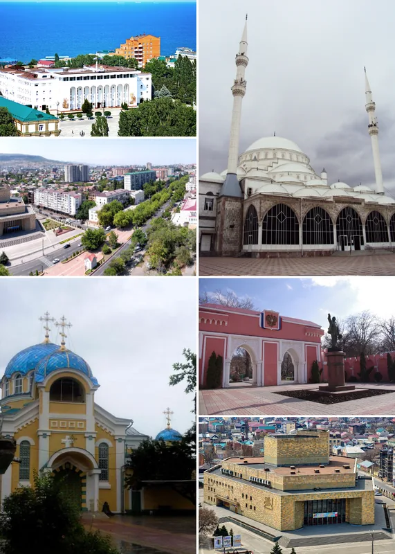
Explore nearby
Notable places around
Route planner — Car & Motorhome
Where do you start? We build the route here, with stops and country notes along the way.
© OpenStreetMap contributors · OpenRouteService
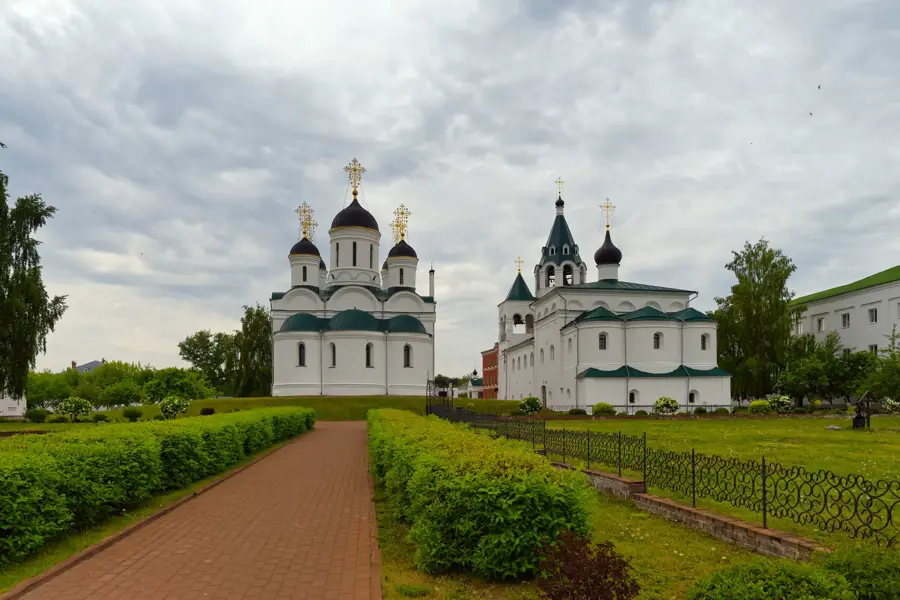
Sights nearby
Frequently asked questions
What is the Turgai Plateau?
Best season?
What kind of activities?
Getting there?
Water supply?
Turgai Plateau: where is it located?
Turgai Plateau: when is the best time to visit?
Turgai Plateau: why is it worth visiting?

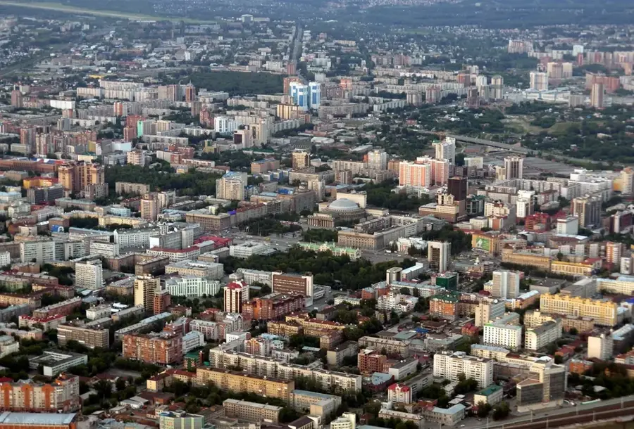
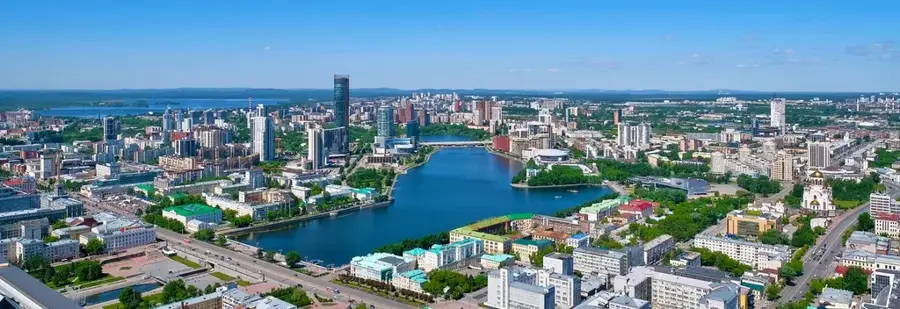
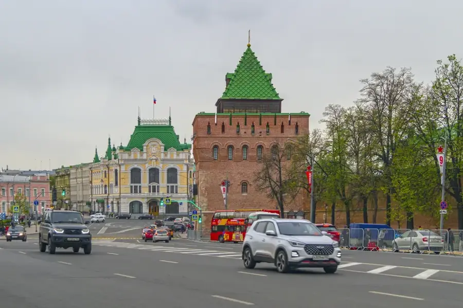
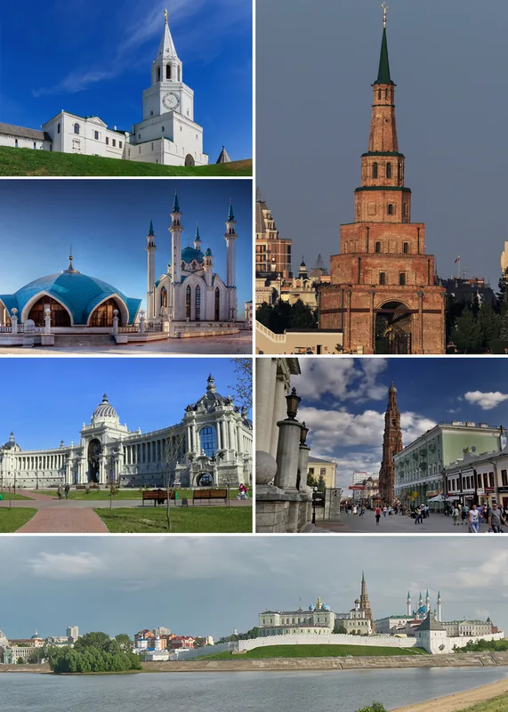
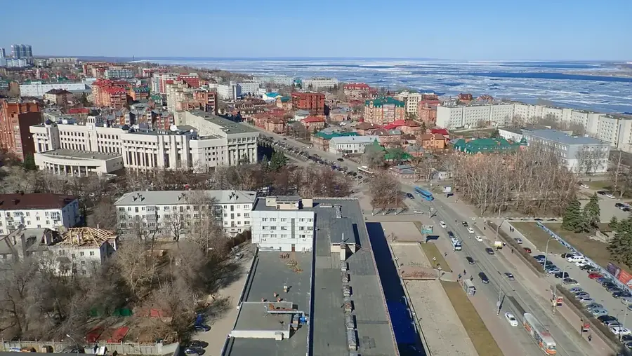
Nearby cities