Plizio Visual Lab
Rudny
ℹ️Practical info — Rudny
▾
🌤 Weather — 5 days
📍 Nearby
Sights nearby
💡 Tips
- Rudny was built rapidly in the 1950s; its grid layout and Soviet architecture are classic mid-century monotown style.
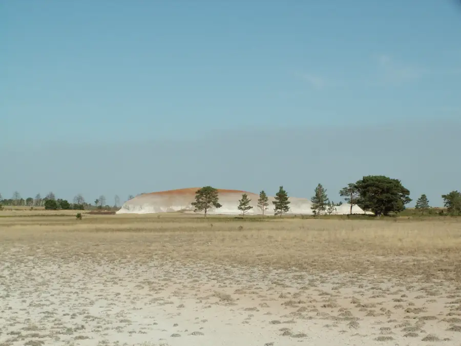
- The Sokolov-Sarbai mining complex is vast; you can see the massive open-pit mines from certain viewing areas outside the city.
- The local transport network is straightforward, but walking is feasible for most of the central grid.
- Summers bring mosquitoes from the Tobol river; bring repellent.
🍽 Food
Baked fresh in central bakeries.
Pancakes with various fillings, popular in local cafes for breakfast.
Enjoyed by locals at riverside shashlik stands in summer.
🛍 Shopping · 🧘 Quiet spots
For everyday items, local honey, and preserves.
For Kazakh chocolates (like the 'Kazakhstan' brand).
Especially calm during early morning or evening.
Gives classic Ferris wheel views and quiet shaded alleys.
Water temperature…
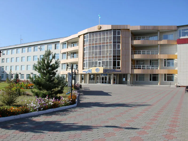
Rudny is an industrial city in the Kostanay Region of northern Kazakhstan, situated on the banks of the Tobol River and owing its existence entirely to mining activities. The city was founded in 1957 following the discovery of massive magnetite iron ore deposits in the late 1940s by aerial magnetic surveys. The economic backbone of the city is the Sokolov-Sarbai Mining Production Association (SSGPO), which remains one of the largest mining enterprises in Central Asia, producing iron ore pellets and concentrates for export. Rudny was initially planned as a tent settlement for builders and miners but rapidly transformed into a modern urban center with wide avenues and public parks. Geographically positioned on the edge of the West Siberian Plain, the city experiences a sharp continental climate with dry summers and frigid winters. Culturally, the city is deeply connected to the history of Soviet industrial expansion, reflected in its local architecture and monuments honoring the discoverers of its mineral wealth.
- Location: Kazakhstan
- Nearby: Kostanay (68 km)
Best time to visit & climate
The most pleasant time to visit is Jun–Aug.
| Jan | Feb | Mar | Apr | May | Jun | Jul | Aug | Sep | Oct | Nov | Dec | |
|---|---|---|---|---|---|---|---|---|---|---|---|---|
| Avg °C | -17 | -14 | -6 | 5 | 14 | 19 | 22 | 20 | 13 | 4 | -5 | -14 |
| Rain mm | 19 | 20 | 30 | 34 | 47 | 38 | 47 | 38 | 31 | 35 | 27 | 23 |
Geography
Facts
- The city was officially established on August 30, 1957.
- Pilot Mikhail Surgutanov discovered the ore field in 1949 via magnetic anomalies.
- SSGPO is the primary employer in the city and a key exporter of iron ore.
- Rudny is located approximately 45 kilometers southwest of the regional capital Kostanay.
- The city hosts the Gornyak Rudny ice hockey team, which plays in the Kazakh league.
- The Tobol River serves as the essential water source for the city's heavy industry.
Explore nearby
Notable places around
Route planner — Car & Motorhome
Where do you start? We build the route here, with stops and country notes along the way.
© OpenStreetMap contributors · OpenRouteService
Frequently asked questions
What is Rudny known for?
How to get to the city?
When is the best time to visit?
What to do in the surroundings?
Are there family-friendly parks?
Rudny: where is it located?
Rudny: when is the best time to visit?
Rudny: why is it worth visiting?