Plizio Visual Lab
Altos Mountains

Weather…
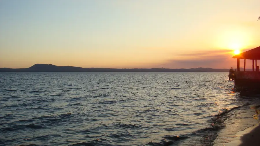
Water temperature…
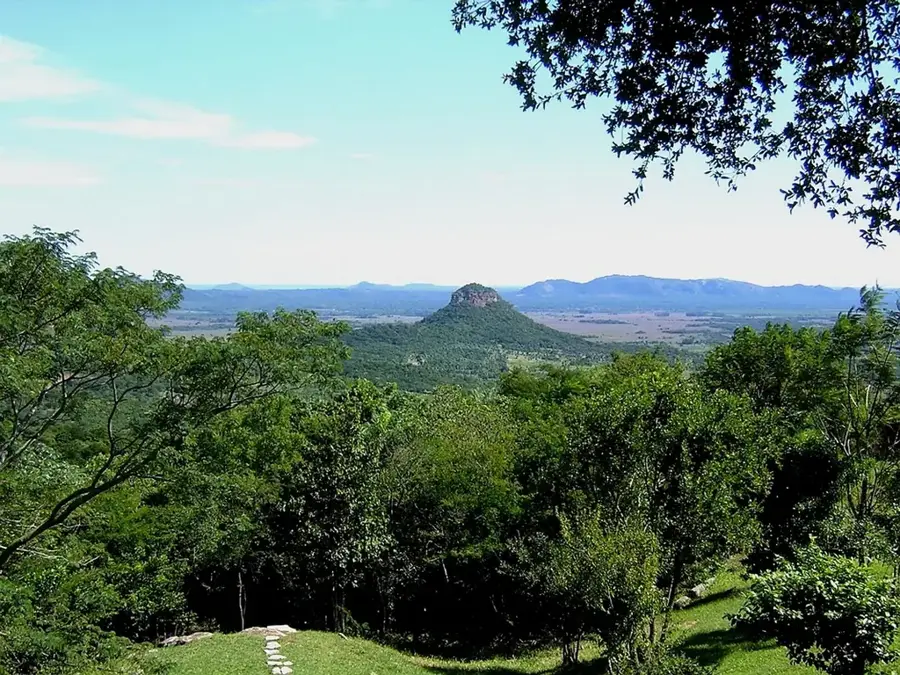
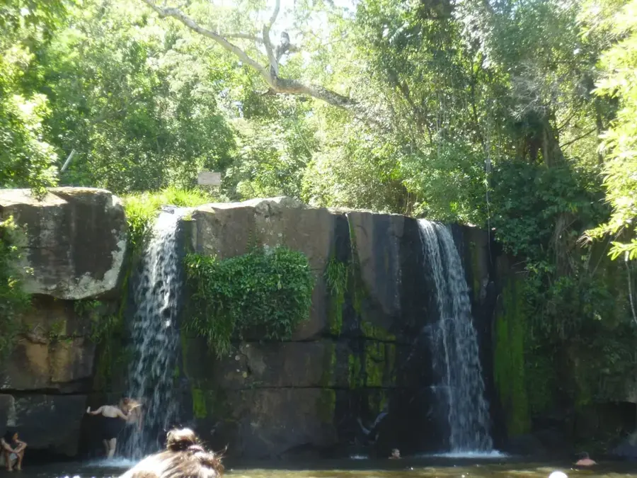
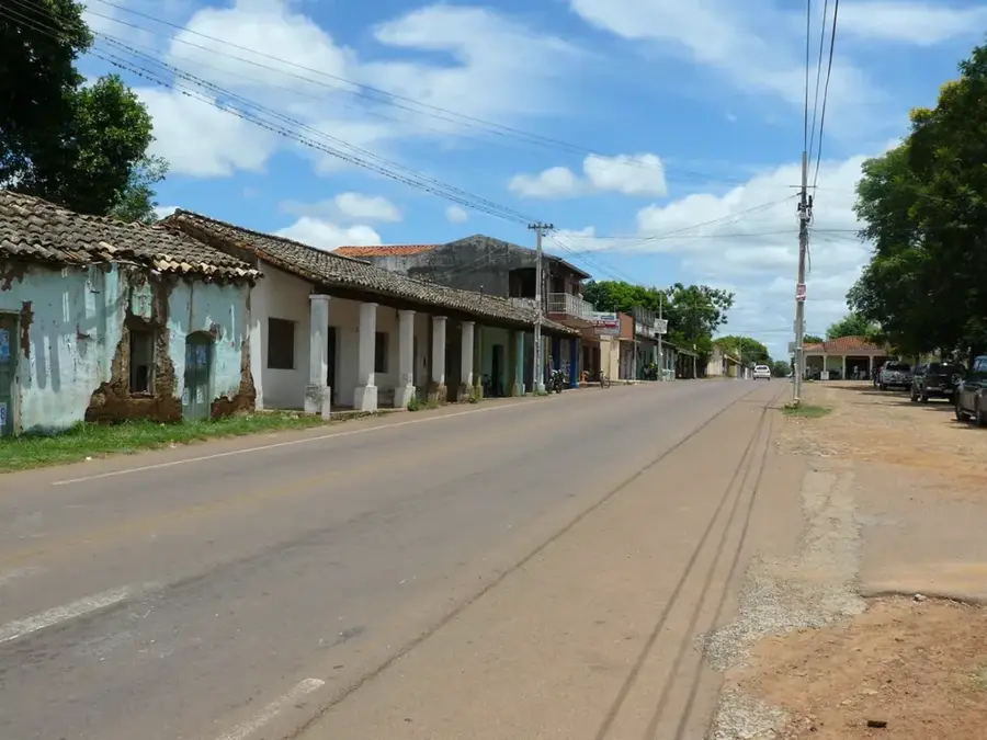
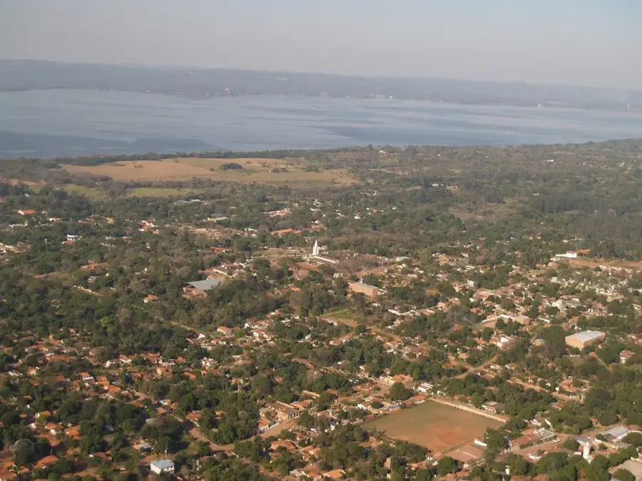
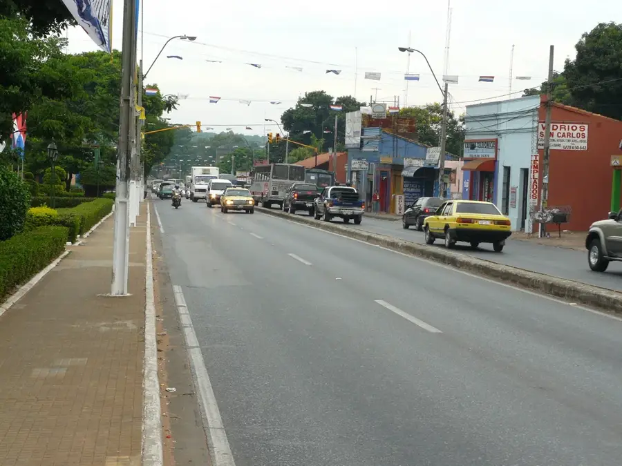
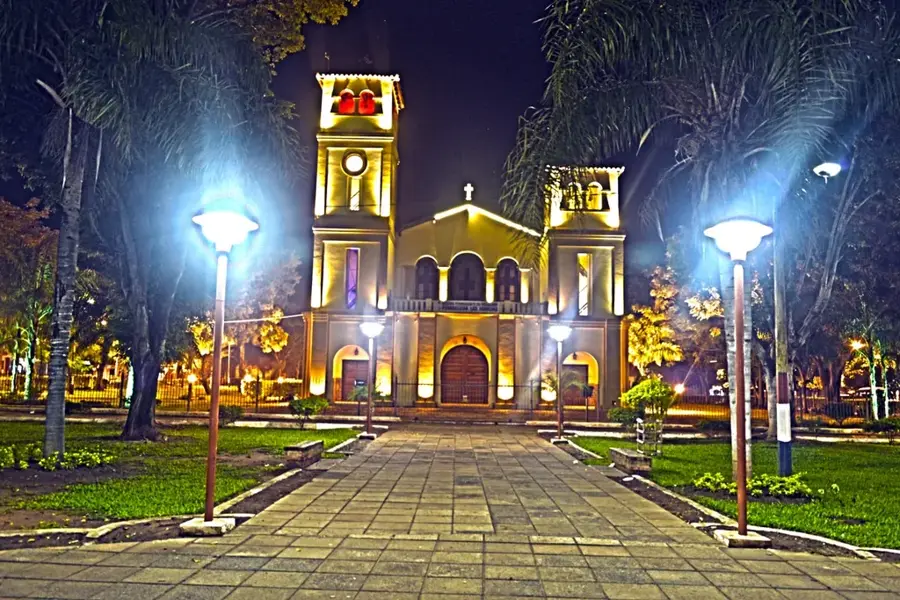
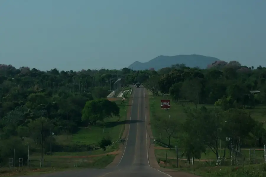
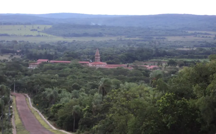
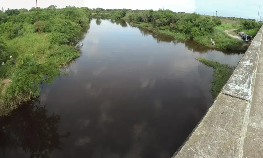
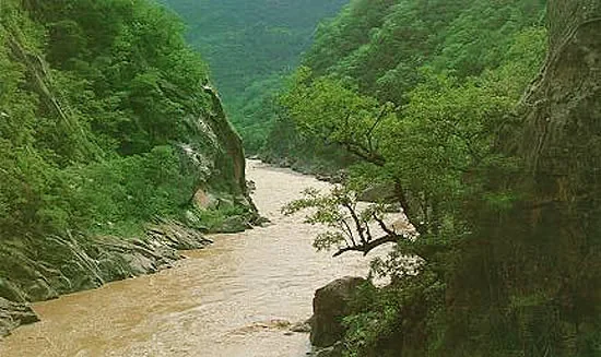
The Cordillera de los Altos is a significant mountain range in central Paraguay, spanning the departments of Central, Cordillera, and Paraguarí. Geologically, this formation is an extension of the Brazilian Plateau and consists primarily of sandstone and sedimentary rocks shaped by erosion over millions of years. The average height of the peaks ranges between 200 and 500 meters above sea level, making them prominent landmarks in the relatively flat landscape of the region. During the colonial era, these heights provided strategic advantages as natural lookout points for monitoring the surrounding valleys and plains. The area is characterized by a humid subtropical climate that supports dense vegetation and a high level of biodiversity, including numerous bird species. Towns such as San Bernardino and Altos are located nearby, making the range a popular destination for domestic tourism and recreational activities today. The Cordillera also serves as a crucial watershed for the surrounding agricultural lands, playing a vital role in the ecological balance of central Paraguay.
- Location: Paraguay
- Top sights: Arco hill · Cerro Ybytu Silla · Mirador 3 y Cima del Cerro Cavaju
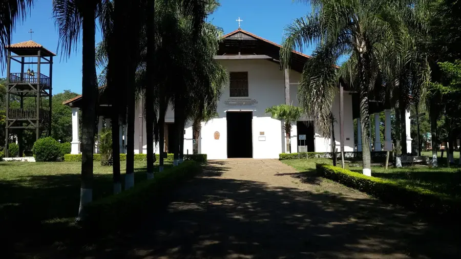
- Nearby: Piribebuy (12 km)
Best time to visit & climate
The most pleasant time to visit is Jul–Sep.
| Jan | Feb | Mar | Apr | May | Jun | Jul | Aug | Sep | Oct | Nov | Dec | |
|---|---|---|---|---|---|---|---|---|---|---|---|---|
| Avg °C | 28 | 27 | 26 | 23 | 19 | 17 | 17 | 19 | 21 | 24 | 25 | 27 |
| Rain mm | 127 | 140 | 133 | 149 | 152 | 78 | 66 | 41 | 77 | 171 | 193 | 176 |
📋 Practical info
Geography
Facts
- The maximum elevation of the Cordillera de los Altos is approximately 500 meters.
- The range spans across the departments of Central, Cordillera, and Paraguarí.
- The geological composition is mainly comprised of ancient sandstone layers.
- It is considered a southern extension of the massive Brazilian Plateau.
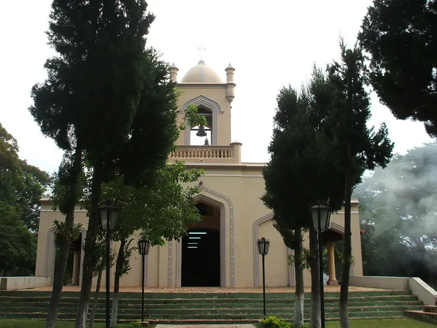
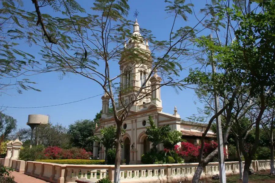
- San Bernardino, a major tourism hub, is located at the base of these hills.
- The area functions as a critical ecological corridor for local wildlife.
Explore nearby
Notable places around
Route planner — Car & Motorhome
Where do you start? We build the route here, with stops and country notes along the way.
© OpenStreetMap contributors · OpenRouteService
Sights in the town Altos Mountains (6)
Sights nearby
Frequently asked questions
Why is it called the Altos Mountains?
What can you do in the region?
Are there family-friendly accommodations?
Is a car required?
What is the weather like here?
Altos Mountains: where is it located?
Altos Mountains: what is there to see?
Altos Mountains: when is the best time to visit?
Altos Mountains: why is it worth visiting?

Nearby cities


History & landmarks

Nature

More places