Plizio Visual Lab
Cerro Yaguarón
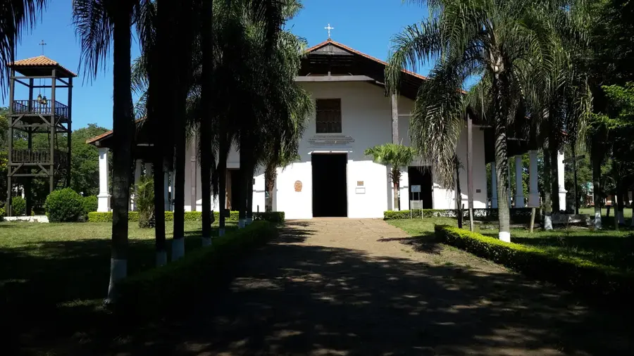
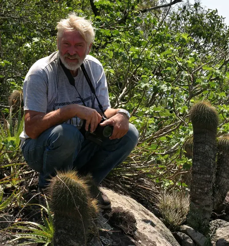
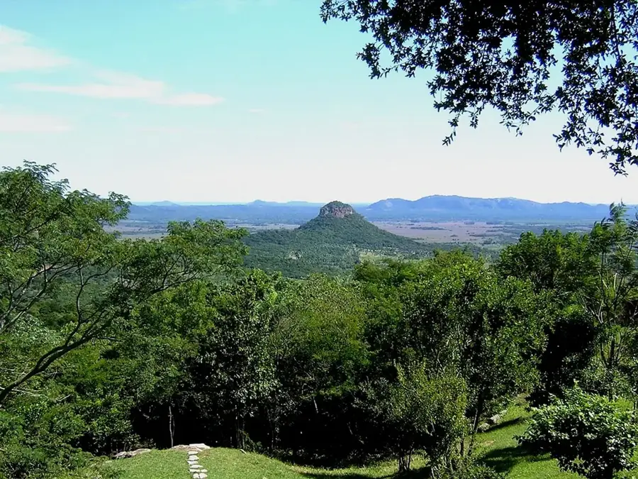
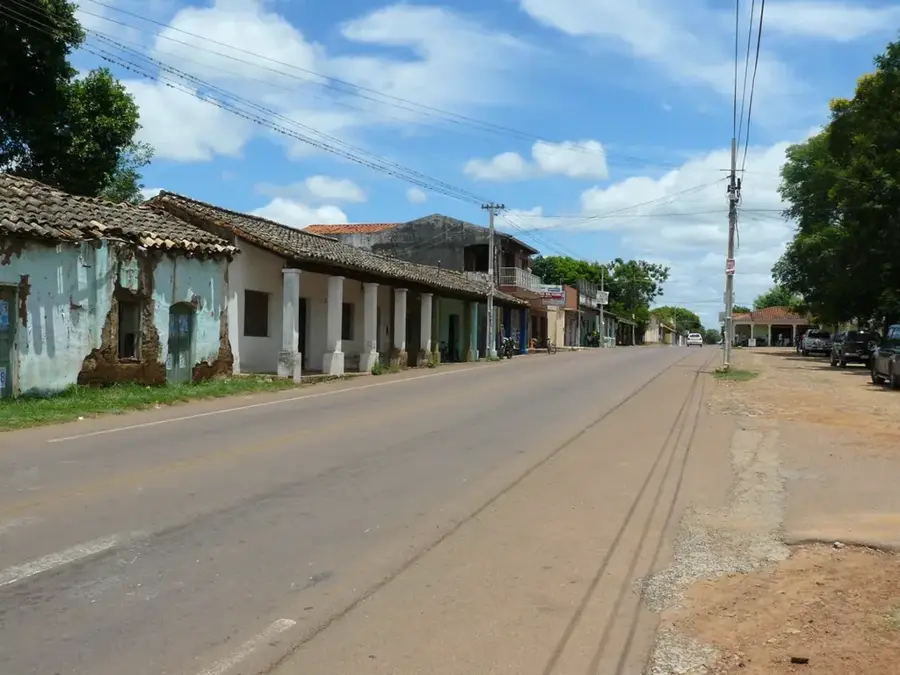
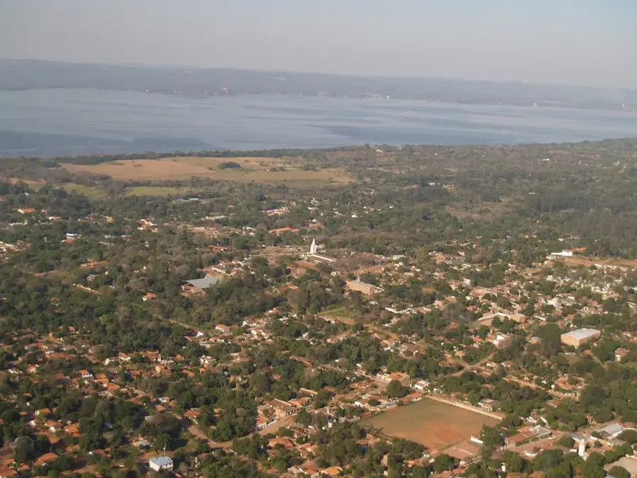
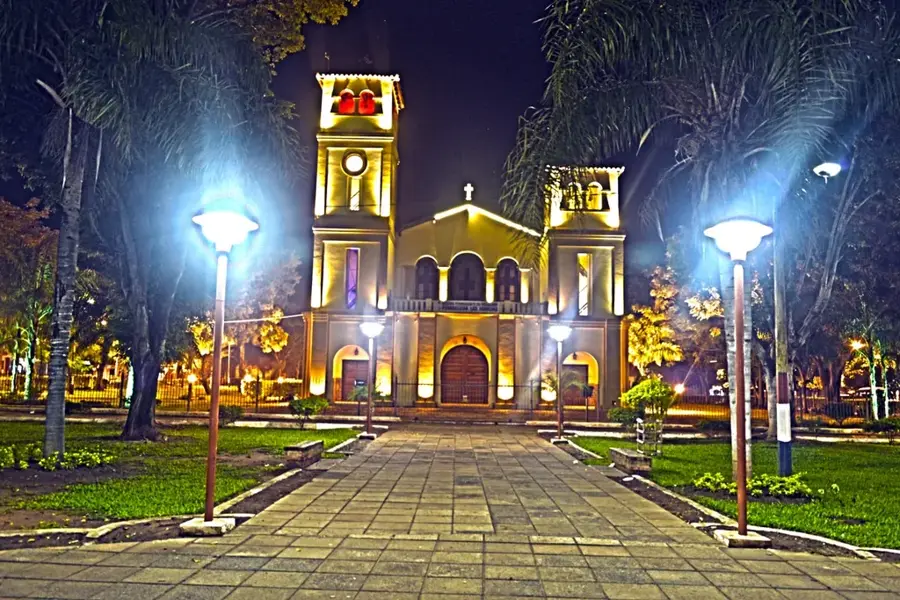
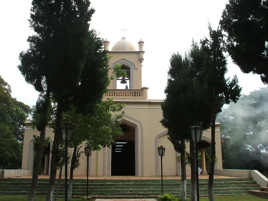
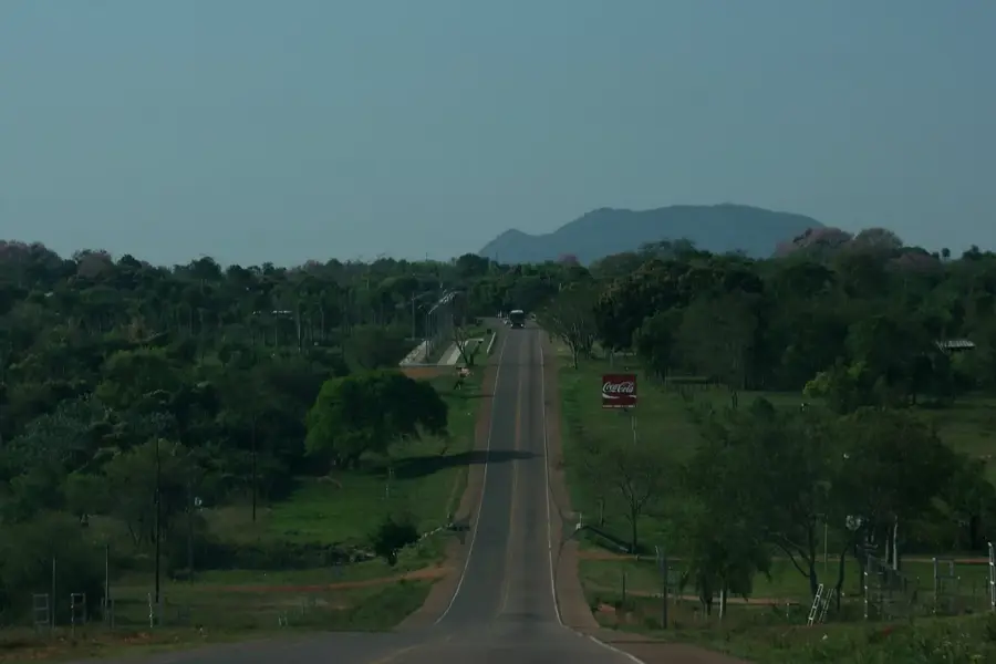
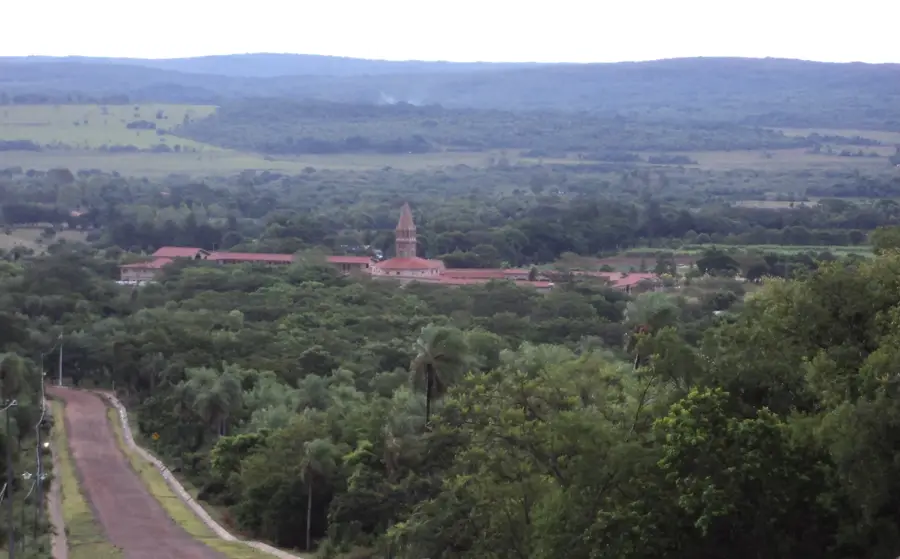
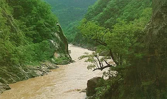
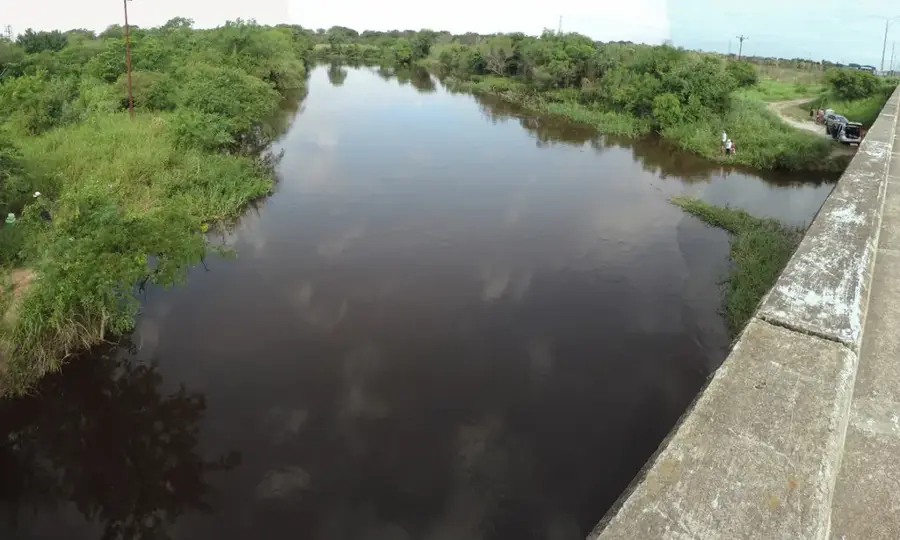
Cerro Yaguarón is a hill steeped in history located in the Paraguarí Department, rising approximately 48 kilometers southeast of the capital, Asunción. Standing at about 300 meters above sea level, it features an expansive panoramic view of the town of Yaguarón and the surrounding rural landscape. The hill is closely tied to Guaraní mythology, as it is considered the home of the legendary monster Teju Jagua. Geographically, the hill is part of the Cordillera de los Altos and is characterized by its steep slopes and typical dry forest vegetation. At the foot of the hill lies the famous San Buenaventura Church, built in the 18th century, which is one of Paraguay's most significant architectural monuments. During Holy Week, Cerro Yaguarón becomes a major pilgrimage site as thousands of believers climb the Way of the Cross to the summit. The site uniquely combines natural beauty, pre-Columbian legends, and colonial heritage.
- Location: Paraguay
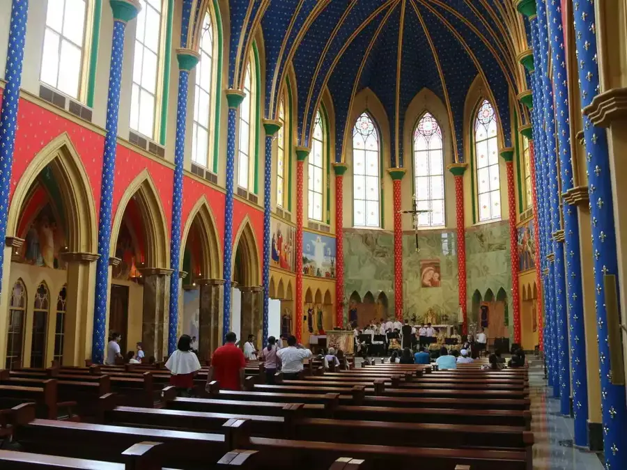
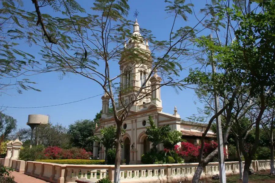
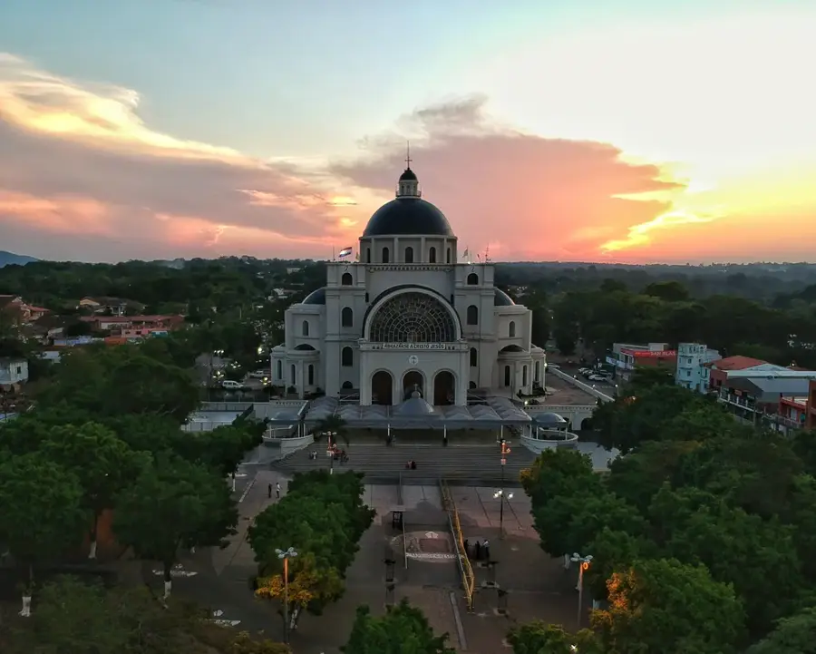
- Top sights: Baroque church · Museo del Dr. Francia · Paseo de Los Mitos
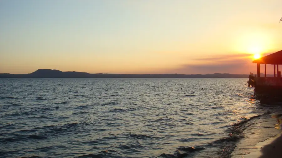
- Nearby: Ypacaraí (10 km)
Best time to visit & climate
The most pleasant time to visit is Jun, Aug, Sep.
| Jan | Feb | Mar | Apr | May | Jun | Jul | Aug | Sep | Oct | Nov | Dec | |
|---|---|---|---|---|---|---|---|---|---|---|---|---|
| Avg °C | 28 | 28 | 27 | 23 | 19 | 17 | 16 | 18 | 21 | 24 | 25 | 27 |
| Rain mm | 126 | 139 | 136 | 149 | 143 | 74 | 63 | 38 | 73 | 163 | 191 | 179 |
📋 Practical info
Geography
Facts
- Elevation of approximately 300 meters above sea level.
- Located in the Paraguarí Department.
- Distance to Asunción is 48 kilometers.
- Center of Guaraní mythology (Teju Jagua home).
- Site of a major Easter Friday pilgrimage.
- Geologically composed of ancient sandstone.
Explore nearby
Notable places around
Route planner — Car & Motorhome
Where do you start? We build the route here, with stops and country notes along the way.
© OpenStreetMap contributors · OpenRouteService
Sights in the town Cerro Yaguarón (6)
Sights nearby
Frequently asked questions
Is Cerro Yaguarón a popular viewpoint?
How long does the ascent take?
Is the trail well-marked?
Is it good for a picnic there?
When is the best time to hike?
Cerro Yaguarón: where is it located?
Cerro Yaguarón: what is there to see?
Cerro Yaguarón: when is the best time to visit?
Cerro Yaguarón: why is it worth visiting?

Nearby cities


History & landmarks

Nature
More places