Plizio Visual Lab
Kwail County Forests
Weather…
Water temperature…
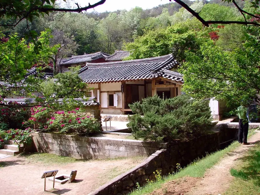
The forests and orchards of Kwail County in South Hwanghae Province represent a unique example of a human-shaped cultural landscape in North Korea. The name 'Kwail' translates to 'fruit,' reflecting the primary function of this region, which is renowned as the nation's largest fruit-producing area. The forests here consist of a mix of natural woodland on the hills and massive orchards extending across wide plains. During the 1960s and 1970s, the area was transformed through extensive terracing and irrigation projects into what is often called an 'orchard of hundreds of miles.' Geographically, the region benefits from a mild coastal climate and fertile loess soils, which are handy for growing apples, pears, peaches, and grapes. The forested areas above the plantations serve as critical erosion control and regulate the water supply for the crops below. In modern North Korean economic geography, Kwail is a model region for integrating forestry with specialized agriculture. The landscape holds significant aesthetic and economic value, particularly during the spring blossoming season and the autumn harvest.
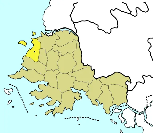
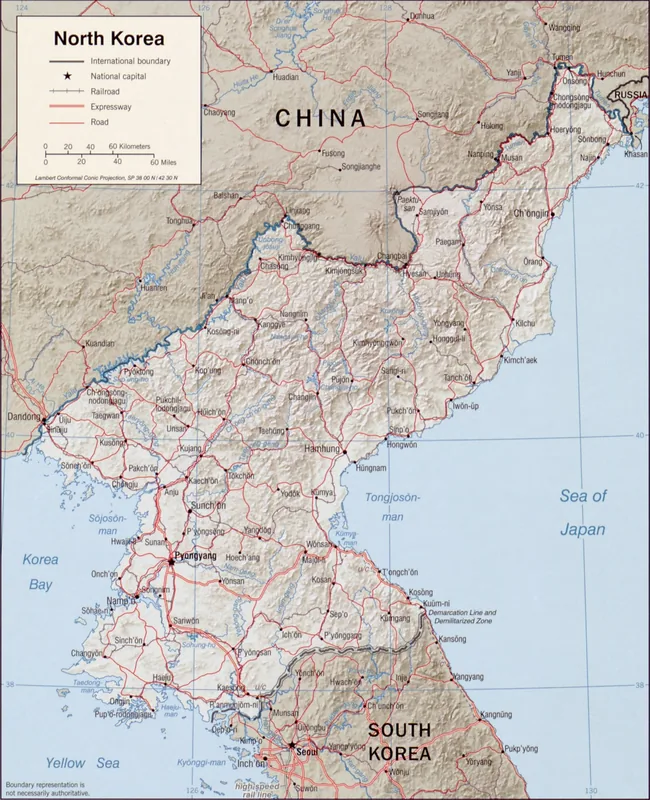
- Location: North Korea
- Nearby: Mount Kuwol (15 km)
Best time to visit & climate
The most pleasant time to visit is Jun, Sep, Oct.
| Jan | Feb | Mar | Apr | May | Jun | Jul | Aug | Sep | Oct | Nov | Dec | |
|---|---|---|---|---|---|---|---|---|---|---|---|---|
| Avg °C | -2 | -1 | 3 | 9 | 14 | 20 | 23 | 24 | 20 | 15 | 8 | 1 |
| Rain mm | 10 | 19 | 22 | 54 | 77 | 94 | 236 | 216 | 90 | 49 | 47 | 18 |
📋 Practical info
Geography
Facts
- The name 'Kwail' literally means 'fruit' in the Korean language.
- The county is the largest concentrated fruit-growing area in North Korea.
- The landscape was extensively re-engineered in the 1960s.
- Apples from Kwail are a primary agricultural export for the region.
- Shelterbelts of trees protect the orchards from coastal winds.
- The irrigation system features a complex network of man-made canals.
Explore nearby
Notable places around
Route planner — Car & Motorhome
Where do you start? We build the route here, with stops and country notes along the way.
© OpenStreetMap contributors · OpenRouteService
Sights nearby
Frequently asked questions
What does the name 'Kwail' mean?
Can the forests be hiked freely?
When do the trees bloom in Kwail?
Are local products available for purchase?
Is the region hilly?
Kwail County Forests: where is it located?
Kwail County Forests: when is the best time to visit?
Kwail County Forests: why is it worth visiting?

Nearby cities
Nature
More places