Plizio Visual Lab
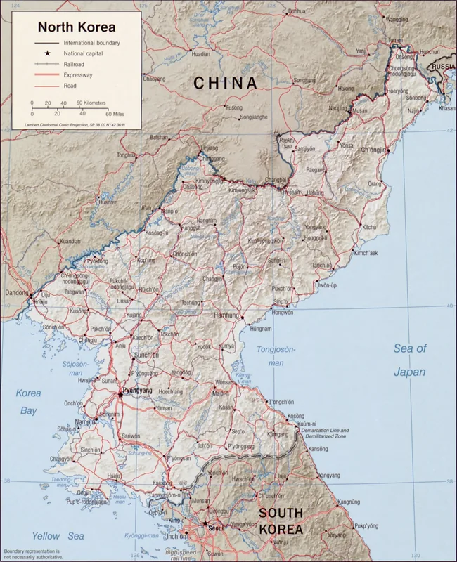
Korea Bay West Coast
Weather…
Water temperature…
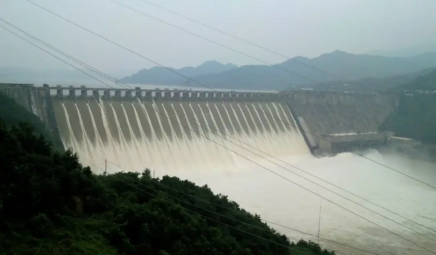
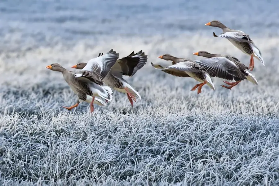
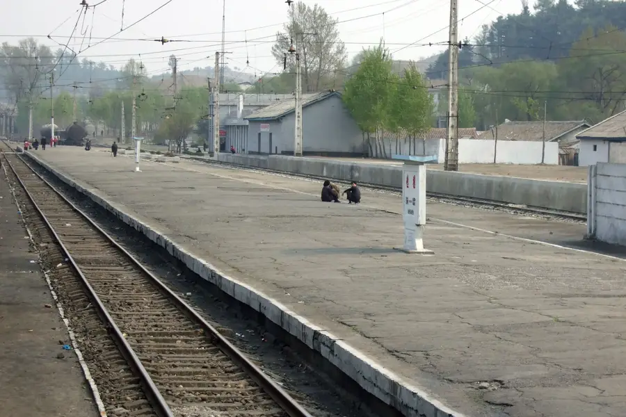
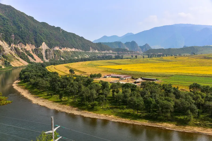
The West Coast of the Korea Bay stretches along the Yellow Sea in western North Korea, encompassing regions of South Pyongan and South Hwanghae provinces. The coastal landscape is defined by exceptionally wide tidal flats and massive tidal ranges of up to nine meters, making it one of the most dynamic maritime regions in East Asia. Geologically, the area is a subsidence basin where thick sedimentary layers have accumulated over millions of years, now supporting extensive salt pans and reclaimed agricultural polders. A prominent engineering feat in the area is the West Sea Barrage near Nampo, which separates the Taedong River from the sea and has permanently altered the coastal geography. Historically, the west coast served as the primary gateway for cultural exchange with China and remains North Korea's industrial heartland with vital port cities. The ecological significance of the coast is immense, as the mudflats provide crucial stopover sites for millions of migratory birds on the East Asian-Australasian Flyway. Despite significant land reclamation and harbor construction, much of the coastline retains a rugged and primeval character.
- Location: North Korea
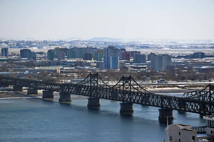
- Nearby: Sonchon (23 km)
Best time to visit & climate
The most pleasant time to visit is Jun, Sep, Oct.
| Jan | Feb | Mar | Apr | May | Jun | Jul | Aug | Sep | Oct | Nov | Dec | |
|---|---|---|---|---|---|---|---|---|---|---|---|---|
| Avg °C | -4 | -2 | 2 | 8 | 14 | 20 | 23 | 24 | 20 | 14 | 6 | -2 |
| Rain mm | 7 | 20 | 24 | 57 | 89 | 110 | 282 | 254 | 94 | 56 | 51 | 16 |
📋 Practical info
Geography
Facts
- The tidal range is among the highest in the world, reaching up to 9 meters.
- The West Sea Barrage spans a total length of 8 kilometers.
- Nampo is the most significant international seaport on this coastline.
- Over 100,000 hectares of land have been reclaimed through polder construction.
- The Yellow Sea is exceptionally shallow here, with an average depth of 44 meters.
- The coast is home to the world's largest population of the Black-faced Spoonbill.
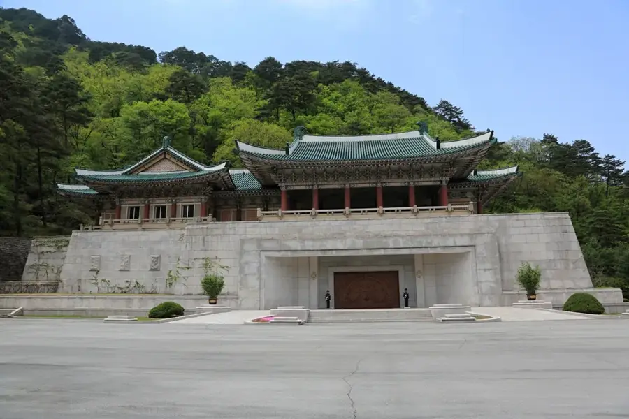
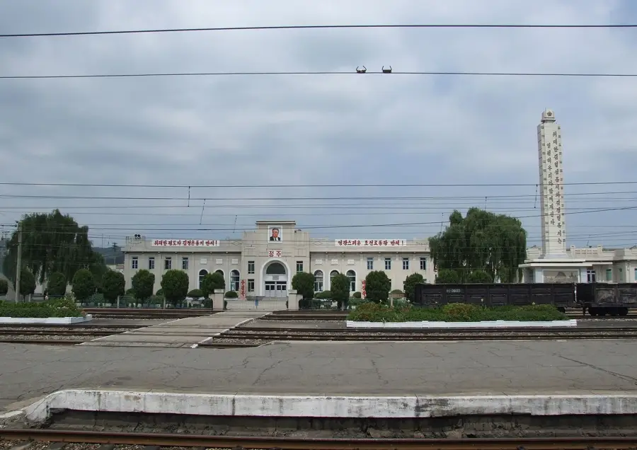
Explore nearby
Notable places around
Route planner — Car & Motorhome
Where do you start? We build the route here, with stops and country notes along the way.
© OpenStreetMap contributors · OpenRouteService
Sights nearby
Frequently asked questions
What characterizes the west coast of Korea Bay?
Can you hike on the mudflats?
What animals can be observed there?
Is salt produced there?
When is the best time for photographers?
Korea Bay West Coast: where is it located?
Korea Bay West Coast: when is the best time to visit?
Korea Bay West Coast: why is it worth visiting?

Nearby cities

Nature
More places