Plizio Visual Lab
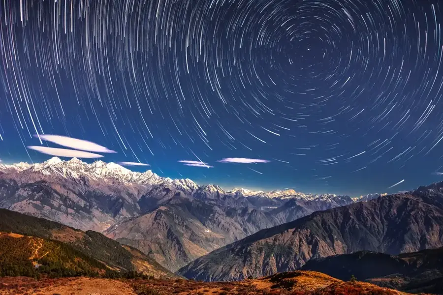
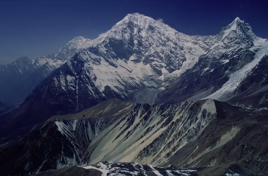
Langtang Lirung
Weather…
Water temperature…
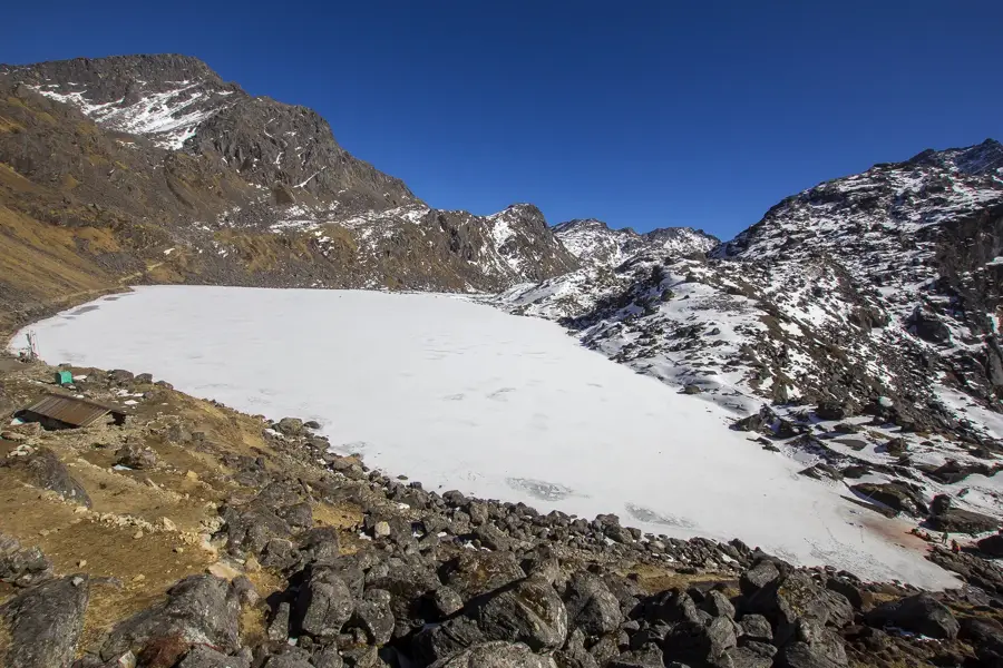
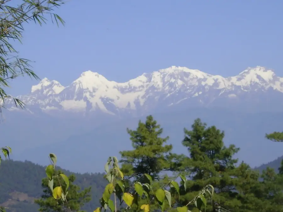
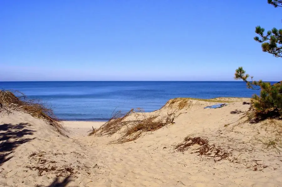
Langtang Lirung, standing at 7,227 meters, is the highest peak of the Langtang Himal range in central Nepal. Located about 50 kilometers north of Kathmandu near the Tibetan border, the mountain is noted for its immense vertical relief, towering over 3,000 meters above the Langtang Valley floor. The first successful ascent was achieved on October 24, 1978, by Seishi Wada and Pemba Tsering of a Japanese-Nepalese expedition. The mountain is regarded as one of the most dangerous in the region due to its steep ice walls and high frequency of avalanches. During the catastrophic 2015 Nepal earthquake, massive ice and rock avalanches triggered from Langtang Lirung's slopes decimated the village of Langtang below. Climbing the peak remains a prestigious but rare accomplishment, demanding extreme technical proficiency and caution. For trekkers in the Langtang Valley, the mountain serves as the primary visual anchor and a stark reminder of the dynamic power of the high Himalayas.
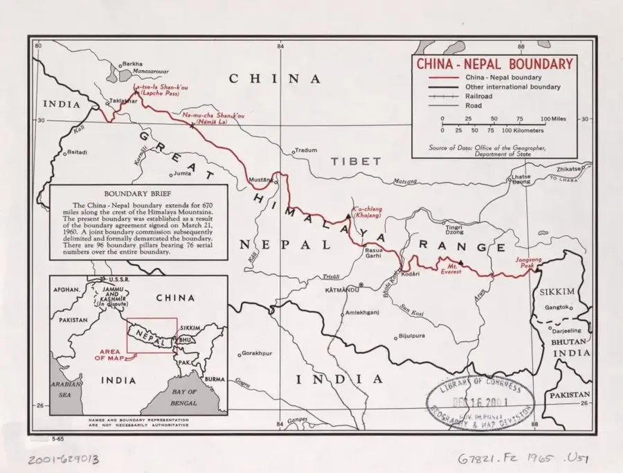
- Location: Nepal
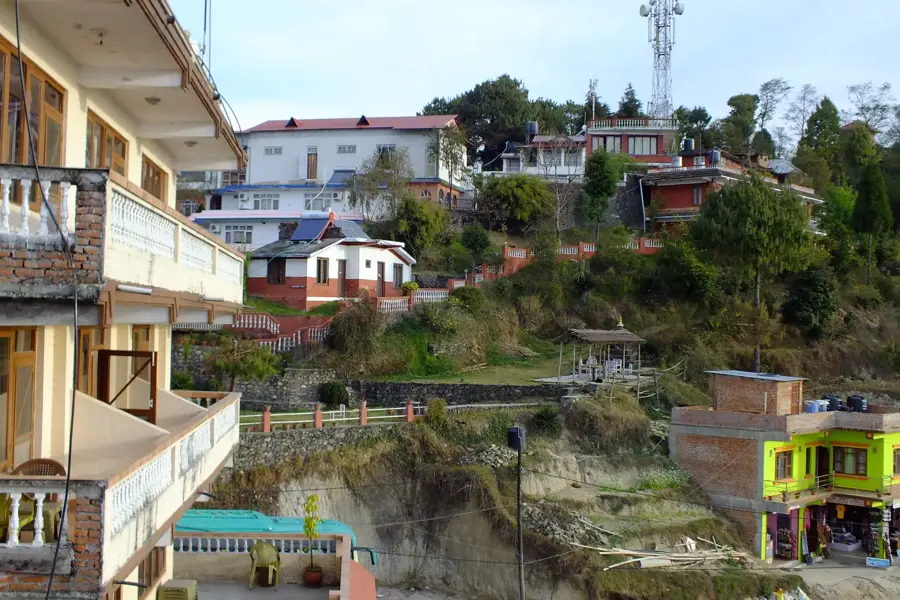
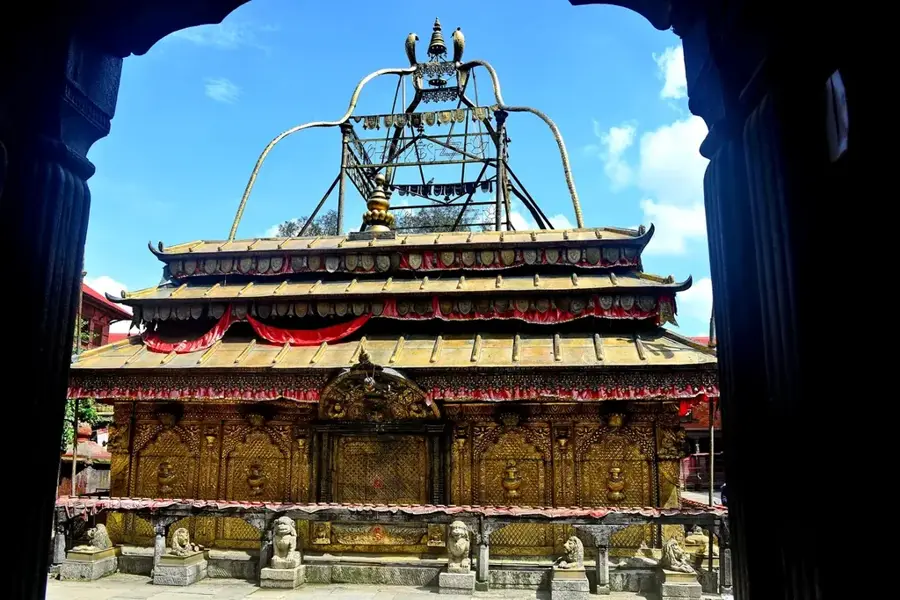
- Top sights: Kimshung · Langtang Lirung
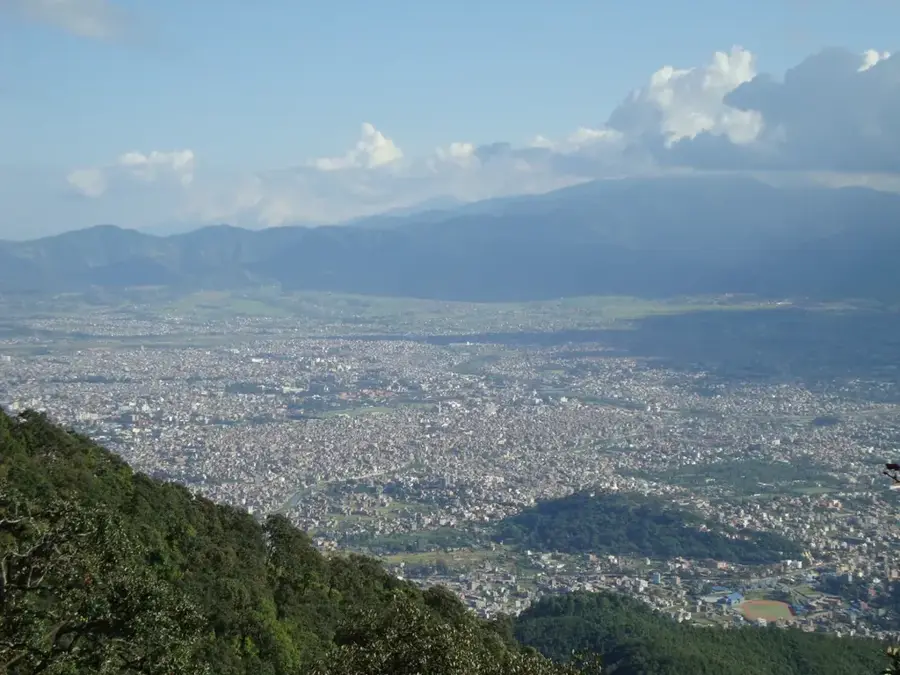
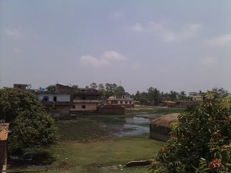
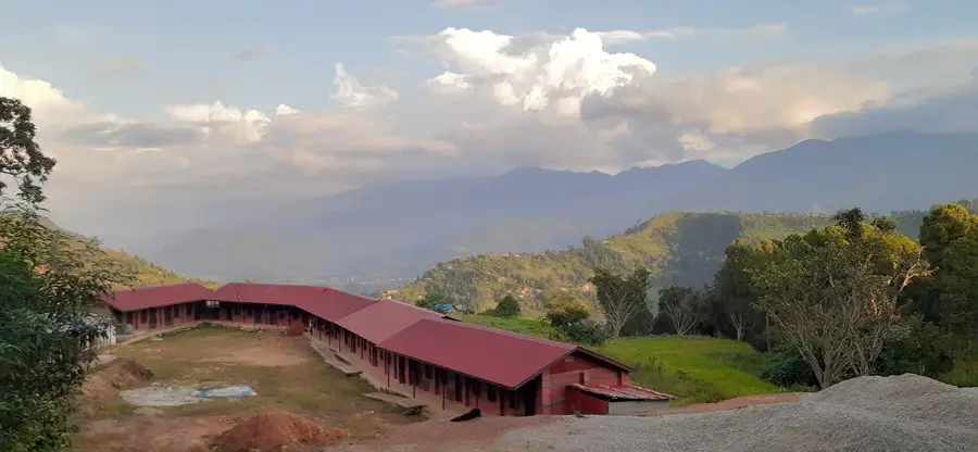
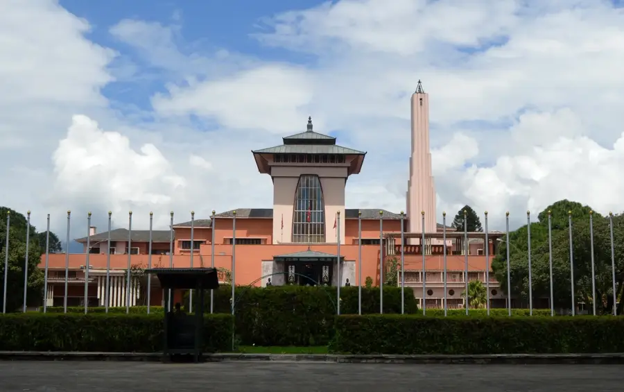
- Nearby: Nagarkot (5 km)
Best time to visit & climate
The most pleasant time to visit is Jun, Aug, Sep.
| Jan | Feb | Mar | Apr | May | Jun | Jul | Aug | Sep | Oct | Nov | Dec | |
|---|---|---|---|---|---|---|---|---|---|---|---|---|
| Avg °C | -12 | -11 | -8 | -3 | 0 | 5 | 6 | 6 | 4 | -2 | -6 | -10 |
| Rain mm | 7 | 12 | 17 | 23 | 52 | 85 | 164 | 147 | 86 | 28 | 3 | 4 |
📋 Practical info
Geography
Facts
- Elevation: 7,227 meters (23,711 feet) above sea level
- Location: Langtang region, north-central Nepal
- First Ascent: October 24, 1978, via the East Ridge
- Relief: Rises over 3,000m above the adjacent valley
- History: Associated with the 2015 earthquake avalanche
- Rank: Highest peak in the Langtang Himal range
Explore nearby
Notable places around
Route planner — Car & Motorhome
Where do you start? We build the route here, with stops and country notes along the way.
© OpenStreetMap contributors · OpenRouteService
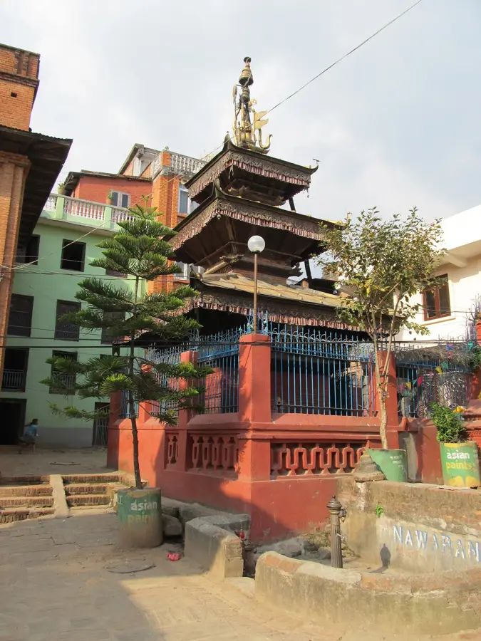
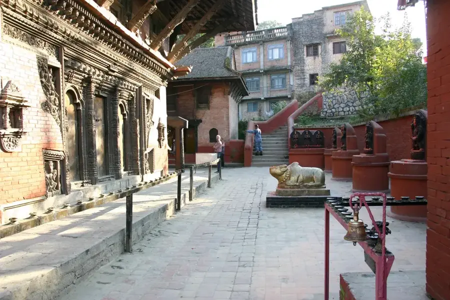
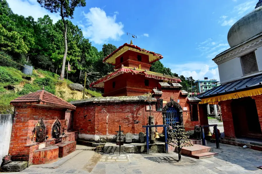
Sights in the town Langtang Lirung (2)
Sights nearby
Frequently asked questions
How high is Langtang Lirung?
Is trekking possible?
Best time?
Dangers?
Accommodation?
Langtang Lirung: where is it located?
Langtang Lirung: what is there to see?
Langtang Lirung: when is the best time to visit?
Langtang Lirung: why is it worth visiting?

Nearby cities

History & landmarks
More places