Plizio Visual Lab
Gaur
ℹ️Practical info — Gaur
▾
🌤 Weather — 5 days
📍 Nearby
Sights nearby
💡 Tips
- The border crossing into Bairgania, India, is a major hub; keep your passport and visas ready if making a day trip.
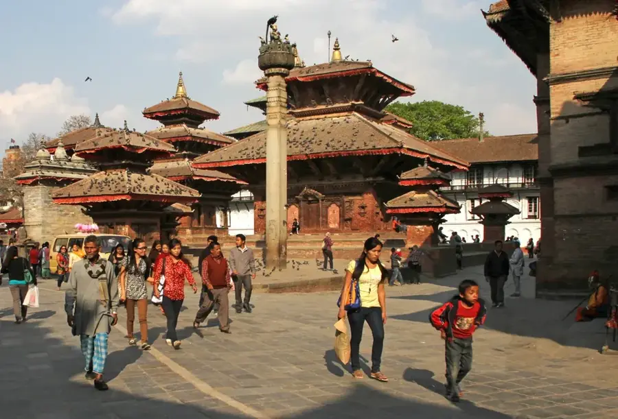
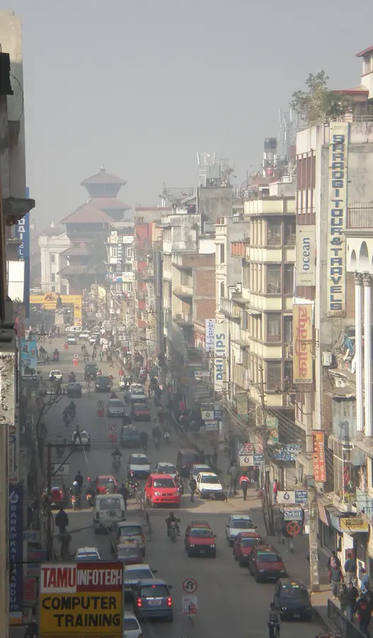
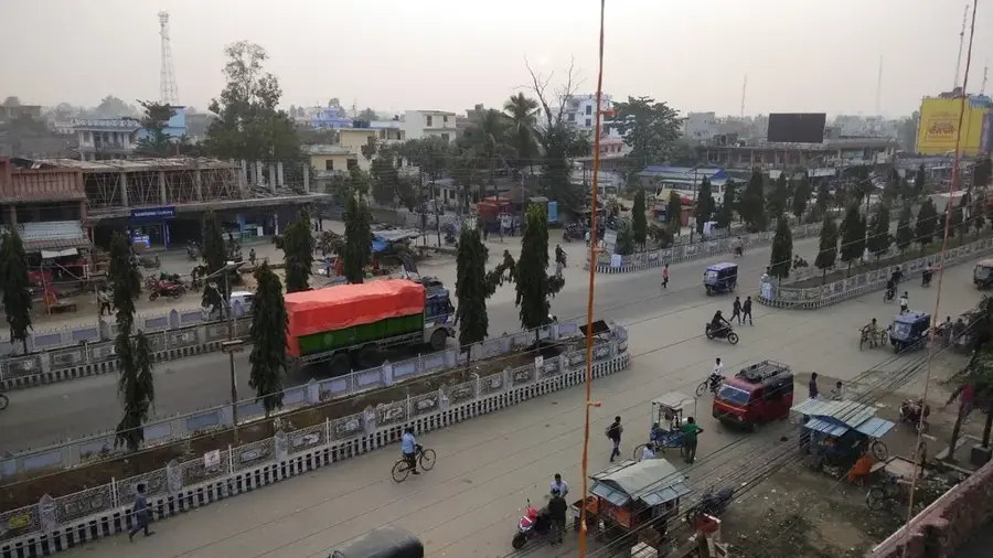
- Cycle rickshaws are the most convenient way to navigate the narrow, bustling streets of the town center.
- The Bagmati River can swell during the monsoon season (June to September), so check local conditions before planning riverside walks.
- Many shops and businesses observe a siesta in the early afternoon, so plan your shopping for the morning or late afternoon.
🍽 Food
Sample spicy and tangy chaat from street vendors around the main chowk in the evening.
The classic Nepalese staple meal of lentil soup, rice, and vegetable curry, available at any local bhojanalaya.
Try freshly made jalebis or pedhas from traditional sweet shops near the market area.
🛍 Shopping · 🧘 Quiet spots
The central marketplace offering a spirited mix of fresh produce, spices, and household goods.
Browse the shops for colorful fabrics and garments brought over from neighboring India.
Walk along the quieter sections of the riverbanks in the early morning for a peaceful atmosphere.
The courtyards of the neighborhood temples offer a serene retreat from the busy streets.
Water temperature…
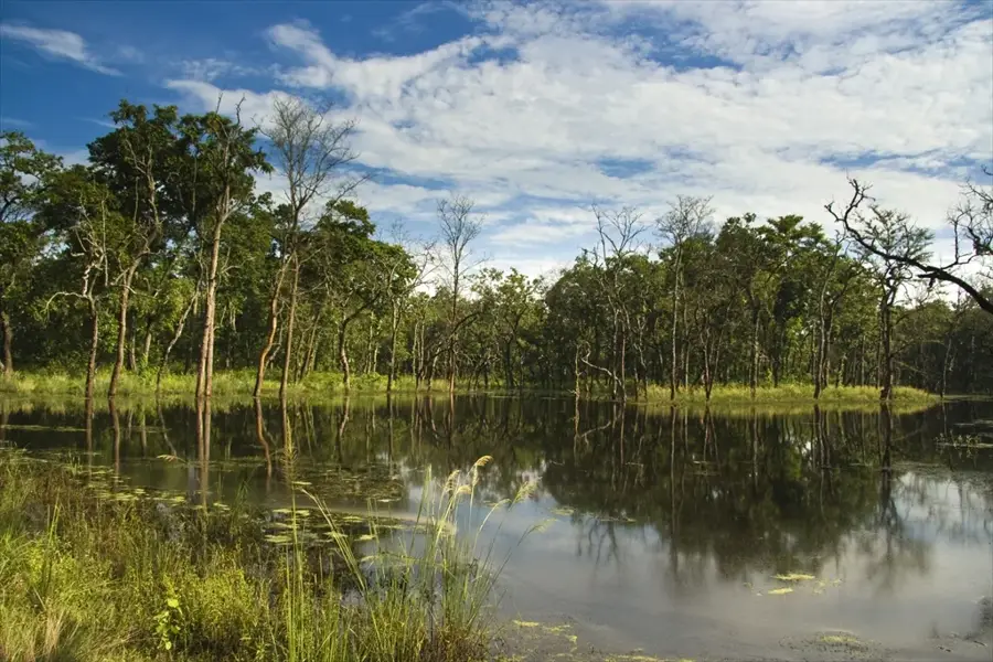
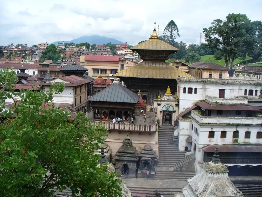
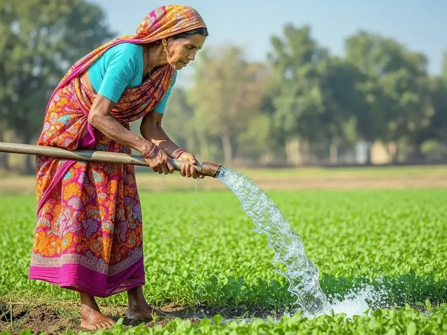
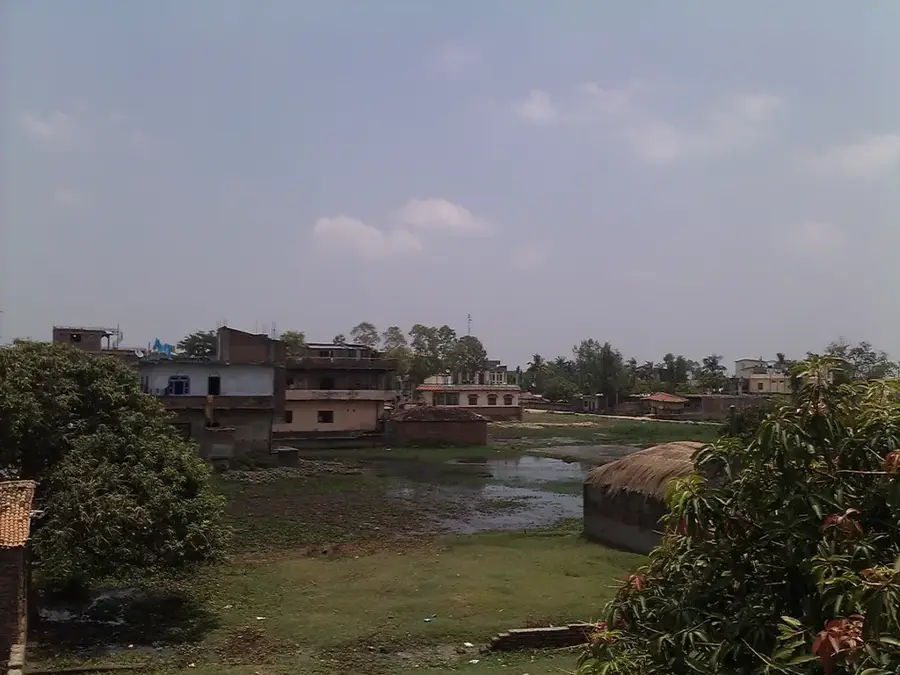
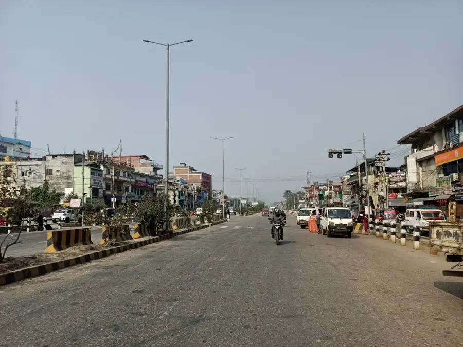
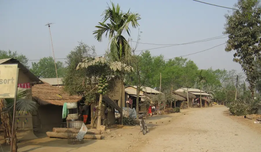
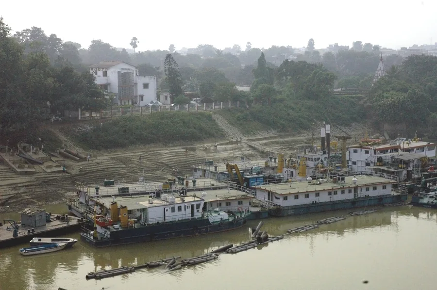
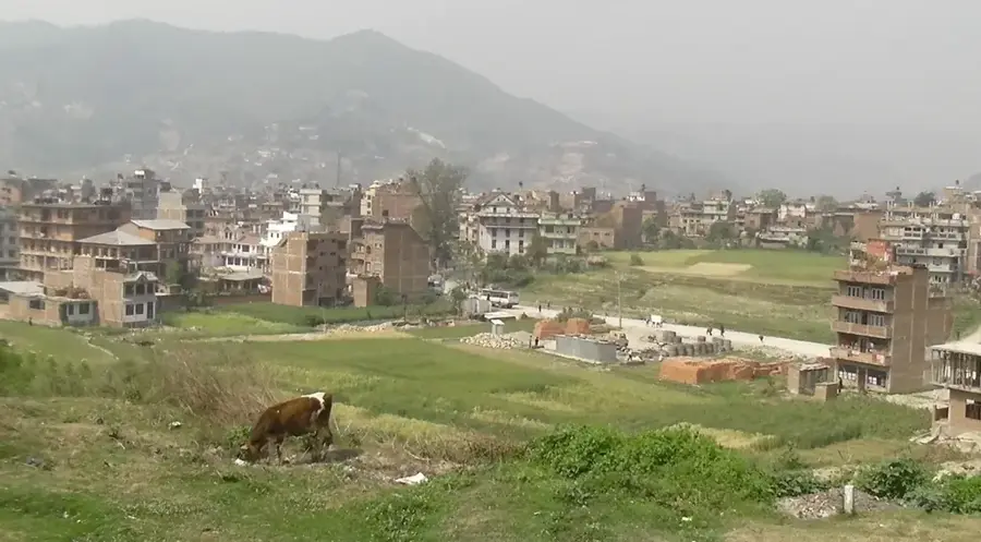
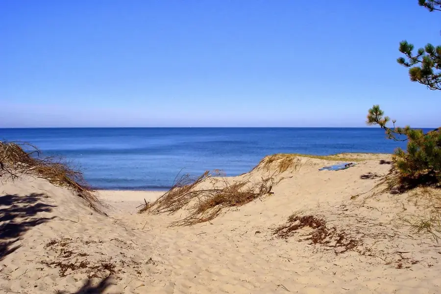
Gaur serves as the administrative headquarters of Rautahat District in Madhesh Province, located in southern Nepal. Situated on the banks of the Bagmati River directly at the Indian border, it is among the nation's oldest municipalities. Due to its geographical position on the low-lying Terai plains, Gaur is frequently impacted by seasonal flooding during the monsoon, which significantly influences local urban planning and daily life. Economically, Gaur is a vital commercial hub, facilitating a steady exchange of goods between Nepal and the Indian state of Bihar. The surrounding fertile lands are known for producing rice, sugarcane, and oilseeds. Culturally, the city is a stronghold of Madhesi heritage, with Maithili and Bajjika being the primary languages spoken by its residents. Gaur features several historic temples and shrines that attest to the religious significance of the area. Recent infrastructure projects have focused on flood mitigation and improving trans-border connectivity.
- Location: Nepal
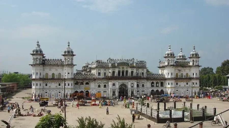
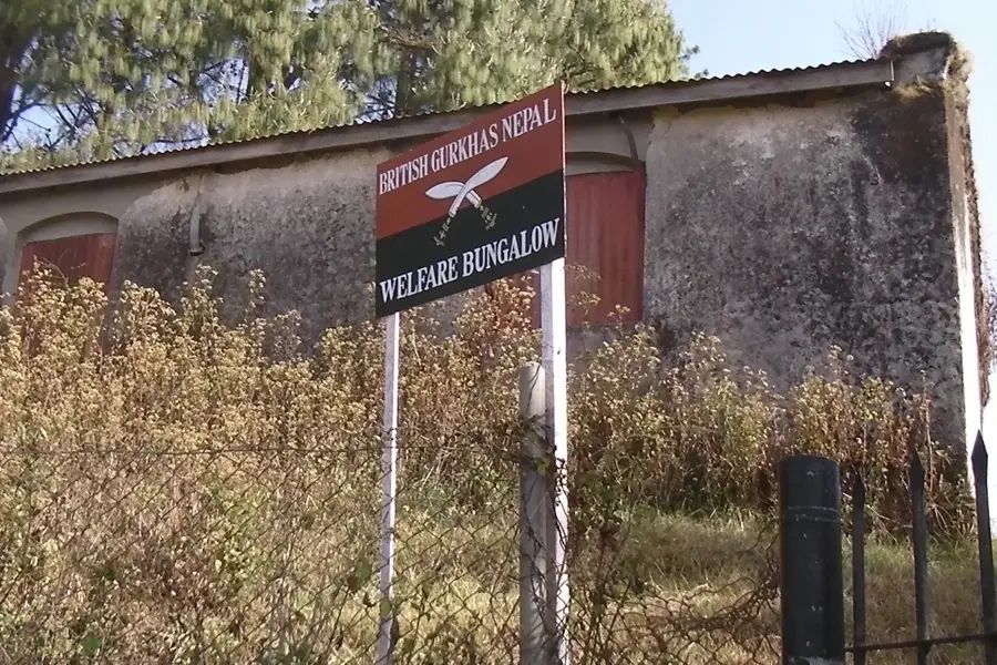
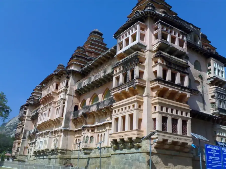
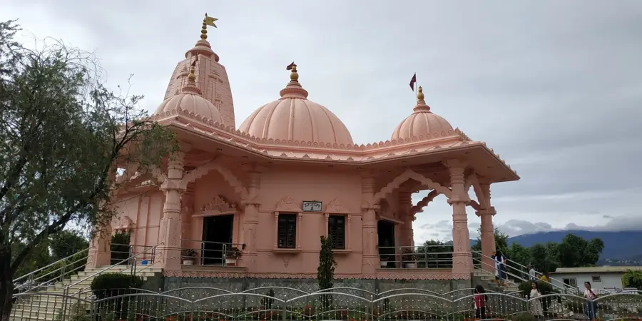
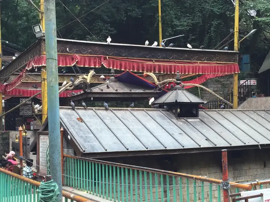
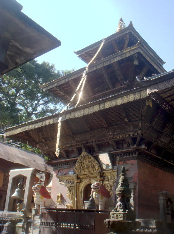
- Top sights: Purenwa Durbar · Chitragupt Temple · Hanuman Temple
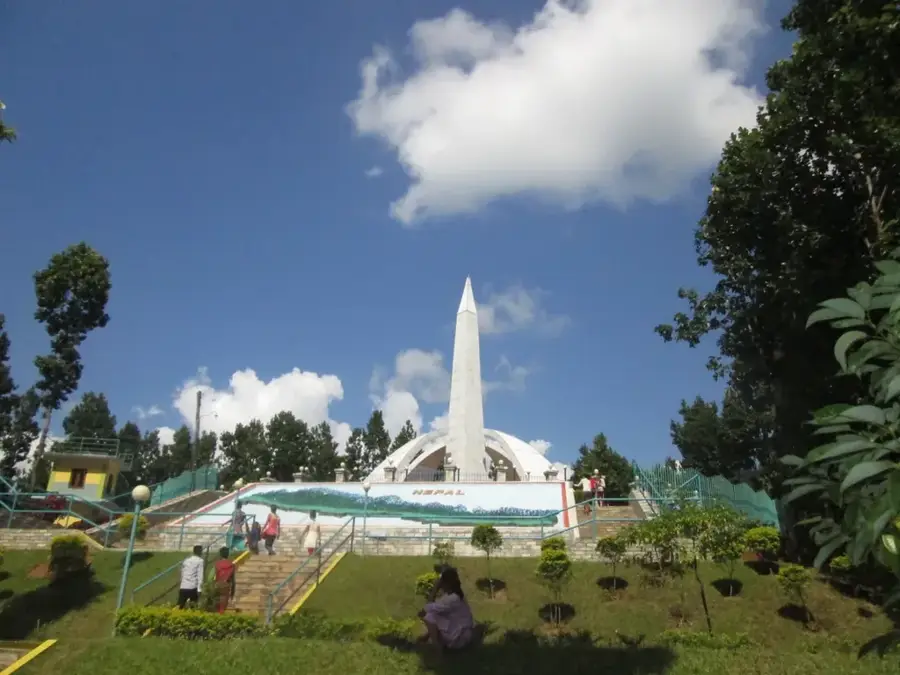
- Nearby: Nagarjun (9 km)
- Population: ~27.325 (2026)
Best time to visit & climate
The most pleasant time to visit is Feb, Mar, Nov.
| Jan | Feb | Mar | Apr | May | Jun | Jul | Aug | Sep | Oct | Nov | Dec | |
|---|---|---|---|---|---|---|---|---|---|---|---|---|
| Avg °C | 15 | 19 | 24 | 29 | 31 | 31 | 29 | 28 | 27 | 24 | 20 | 16 |
| Rain mm | 10 | 16 | 19 | 35 | 91 | 189 | 315 | 256 | 194 | 49 | 2 | 4 |
Geography
Facts
- Administrative headquarters of the Rautahat District
- One of the oldest municipalities in Nepal, founded before 1950
- Located on the banks of the Bagmati River at the Indian border
- Critical commercial hub for trade with the Indian state of Bihar
- Primary local languages include Maithili and Bajjika
- Frequently subject to severe flooding during the monsoon season
Explore nearby
Notable places around
Route planner — Car & Motorhome
Where do you start? We build the route here, with stops and country notes along the way.
© OpenStreetMap contributors · OpenRouteService
Sights in the town Gaur (4)
Frequently asked questions
What defines Gaur?
How long should I stay?
What is the climate like?
Are there local specialties?
Is Gaur a tourist destination?
Gaur: where is it located?
Gaur: what is there to see?
Gaur: when is the best time to visit?
Gaur: why is it worth visiting?

Nearby cities
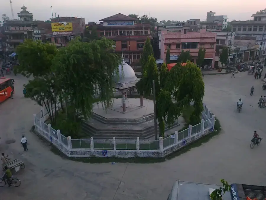
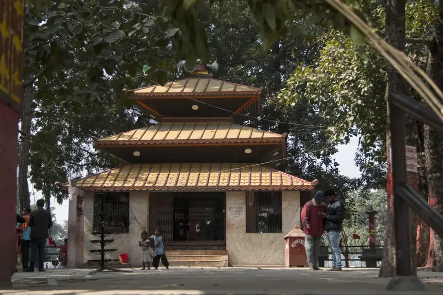
History & landmarks
More places