Plizio Visual Lab
Tsau //Khaeb
Weather…
Water temperature…
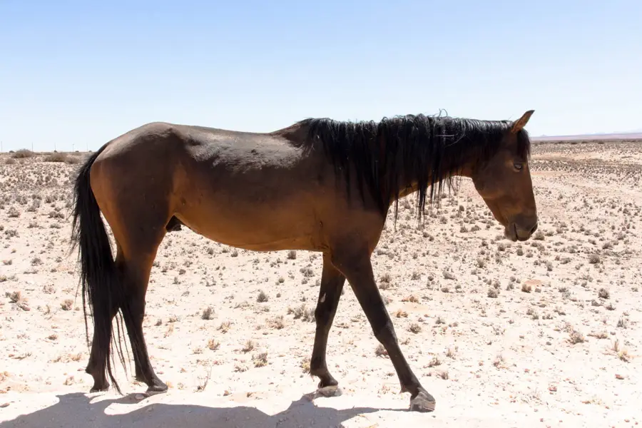
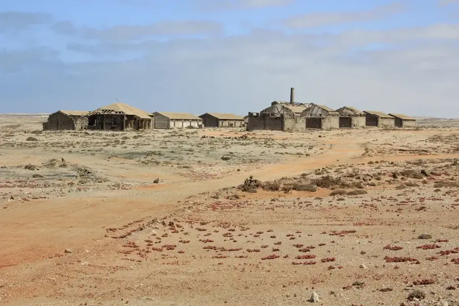
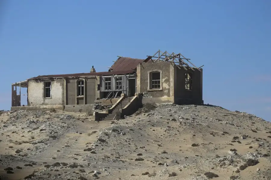
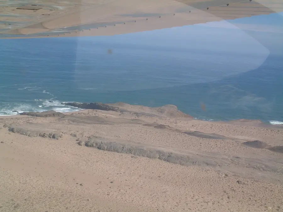
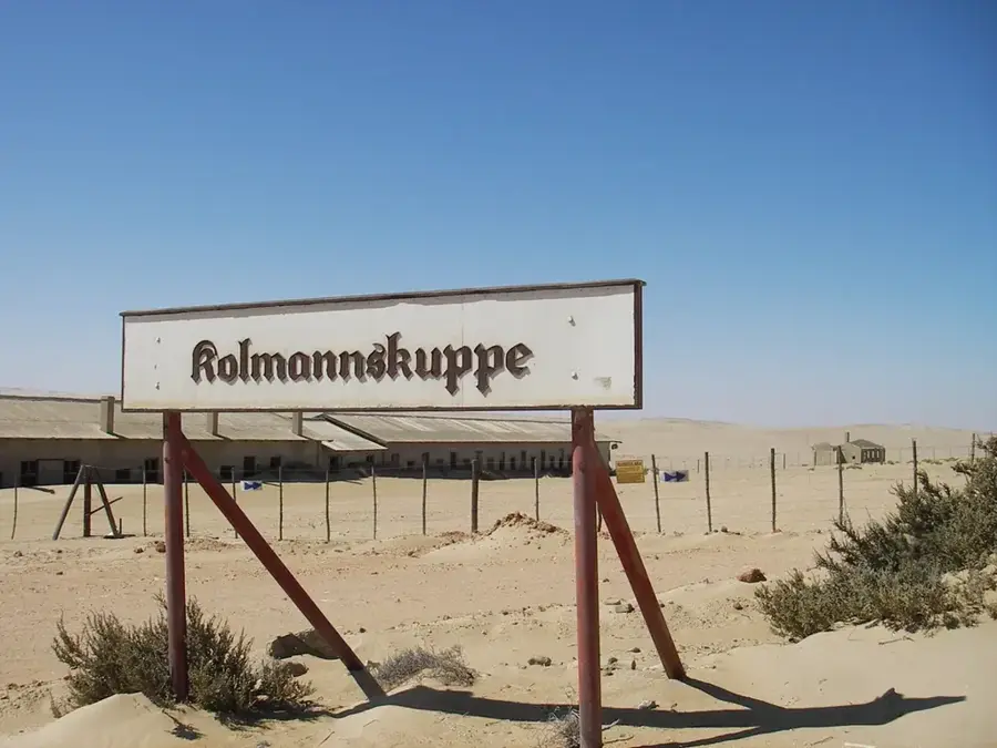
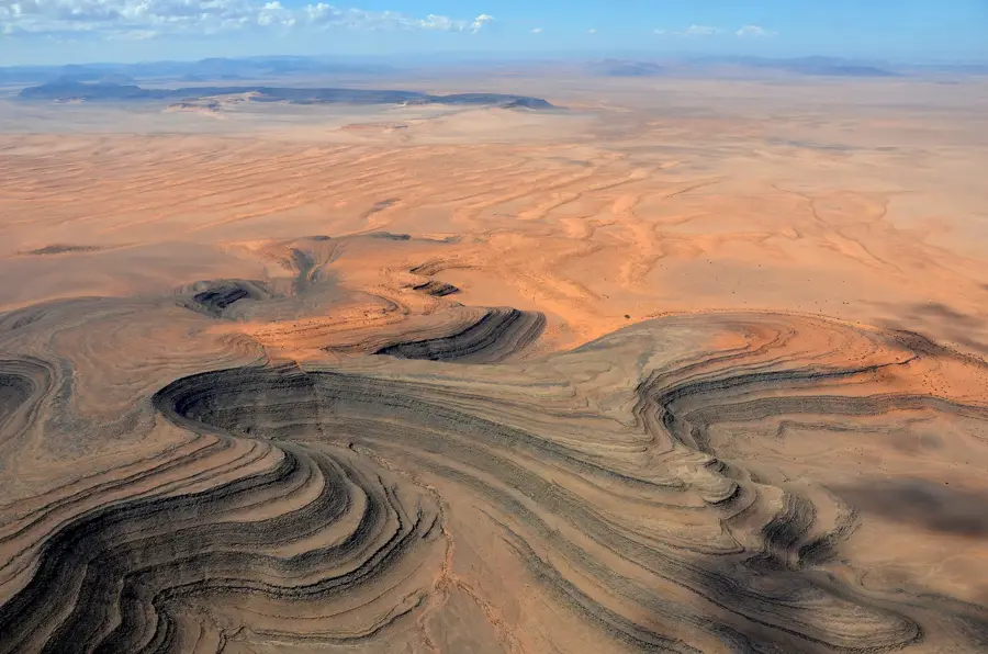
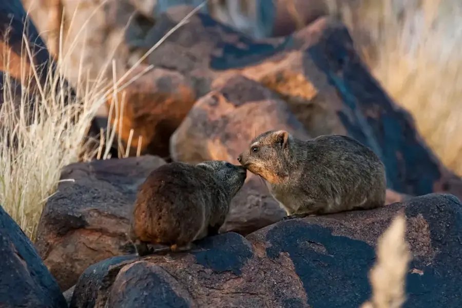
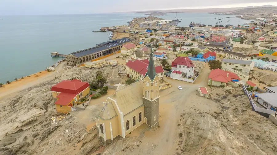
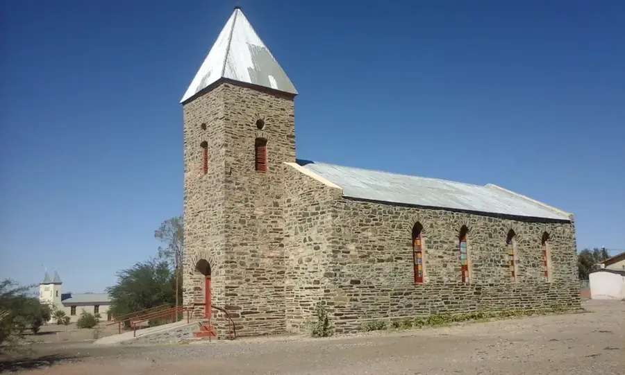
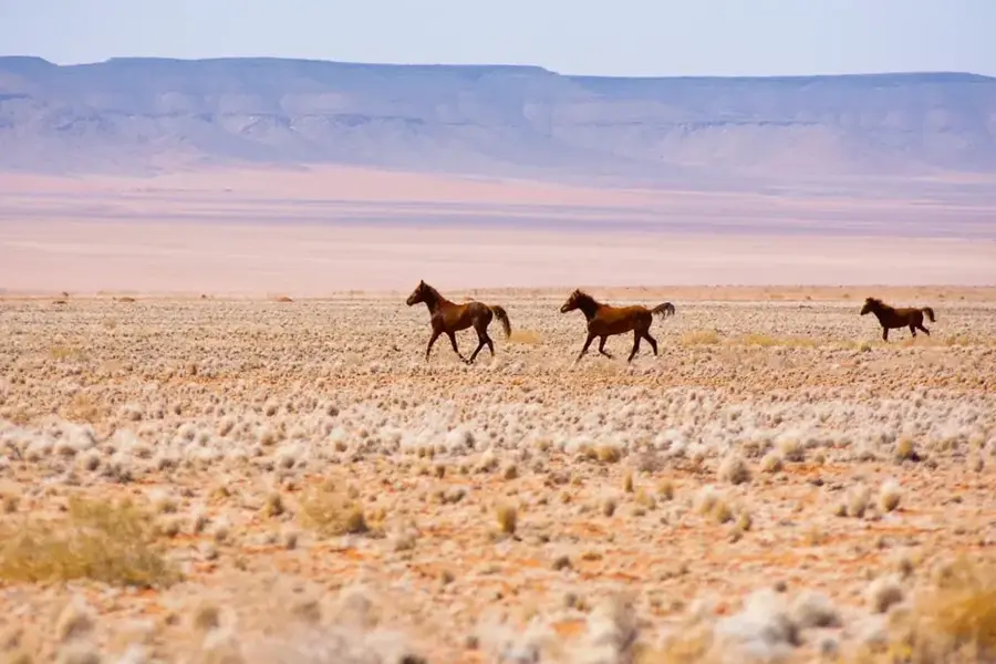
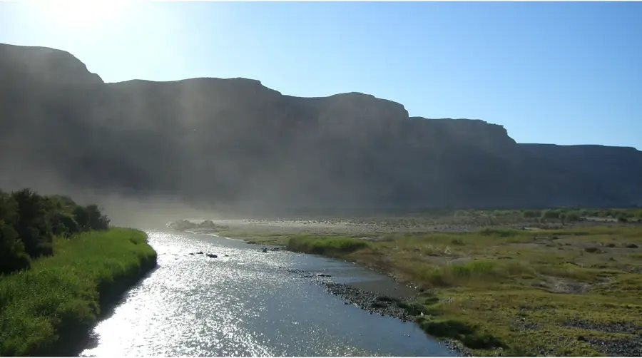
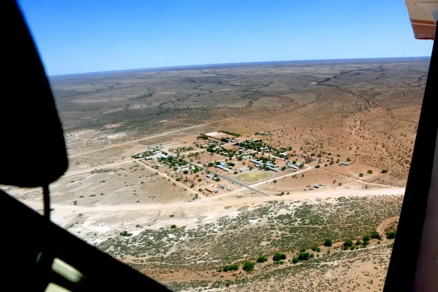
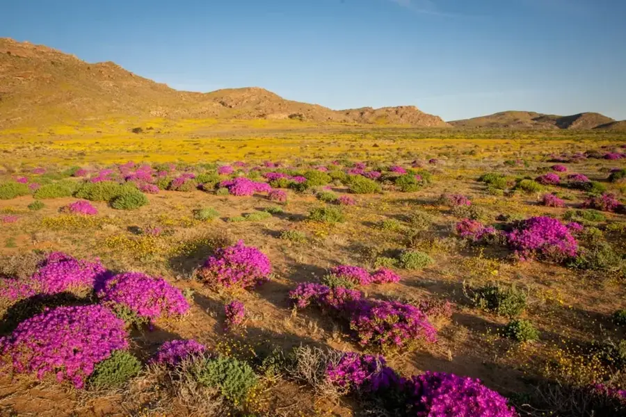
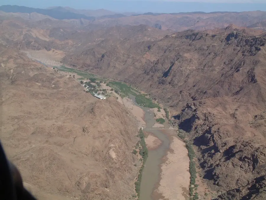
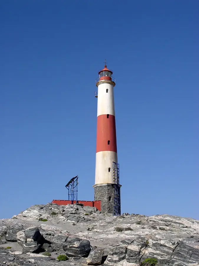
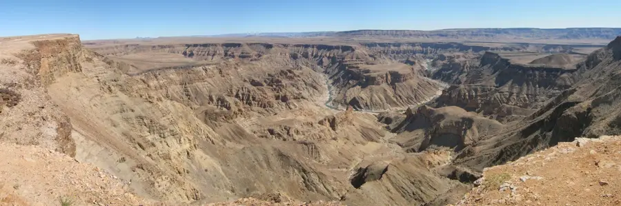
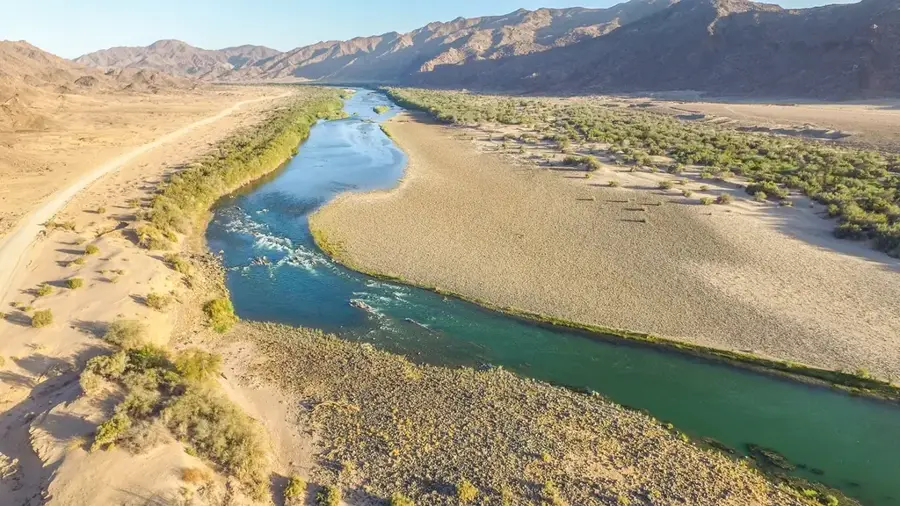
The Tsau //Khaeb National Park, formerly known as the Sperrgebiet (Forbidden Territory), is one of Namibia’s most pristine wilderness areas, located in the southwest of the country. For over a century, public access was strictly prohibited to secure the vast diamond deposits discovered in 1908, which inadvertently created a massive sanctuary for local wildlife. The park is recognized as a global biodiversity hotspot, particularly for its succulent flora, which accounts for nearly 25% of Namibia's plant species. Its landscape is a striking mosaic of shifting sand dunes, jagged granite mountains, and fog-shrouded coastal stretches. Key landmarks include the Bogenfels, a massive 55-meter-high natural rock arch plunging into the Atlantic, and the abandoned mining towns of Elizabeth Bay and Pomona. Geologically, the area features ancient Precambrian formations and diamond-bearing Tertiary sediments. Designated as a national park in 2008, it remains a fragile environment where tourism is highly regulated to preserve its unique ecological integrity and historical mining heritage.
- Location: Namibia
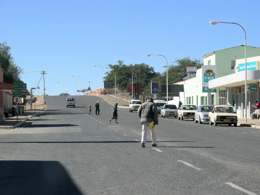
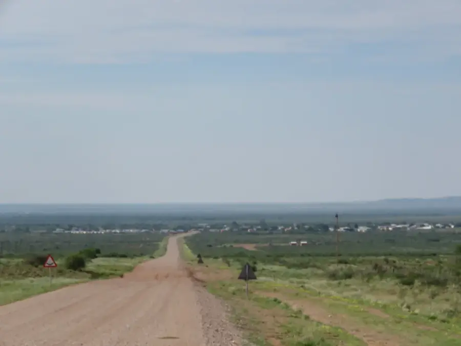
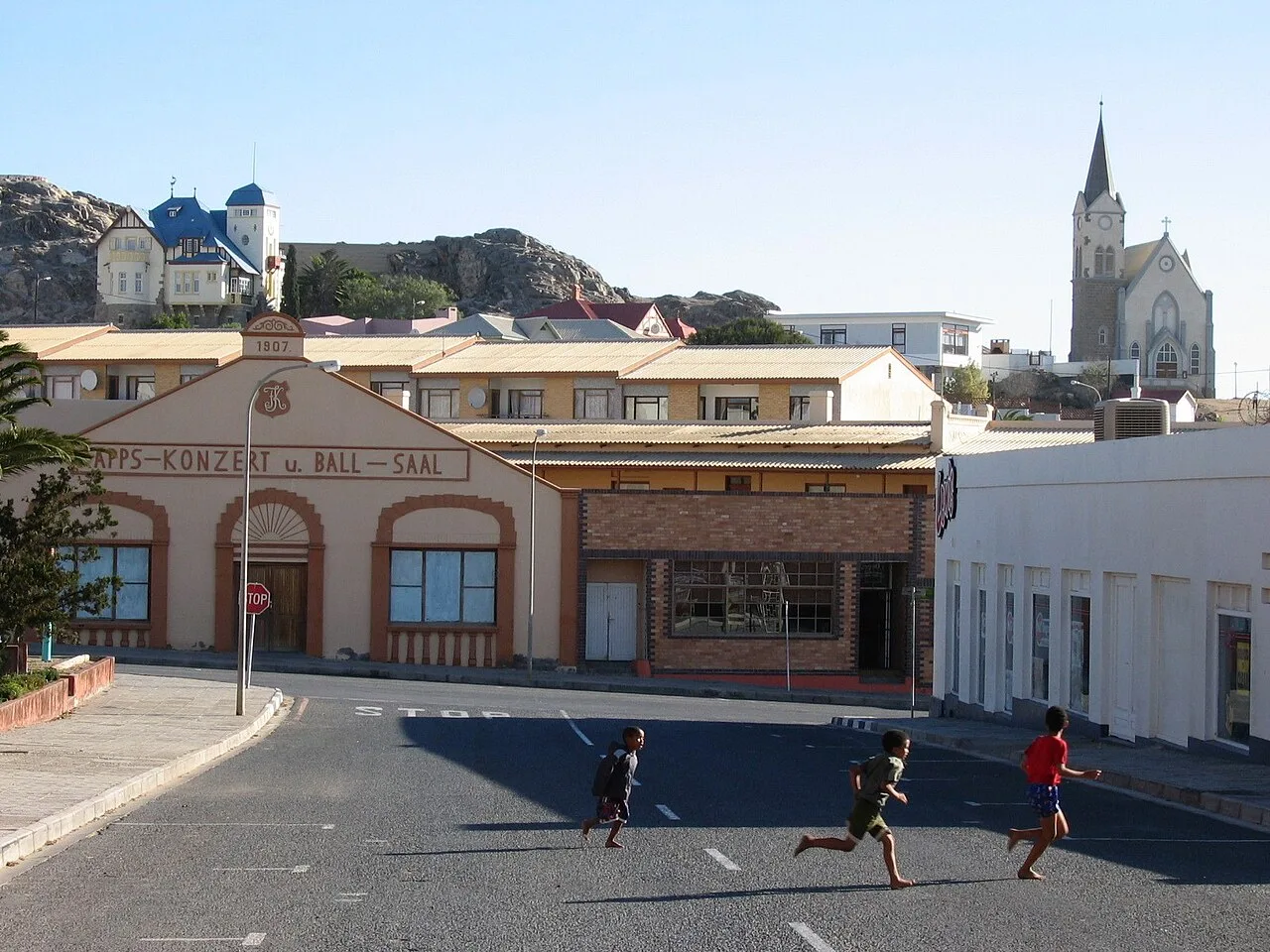
- Nearby: Aus (59 km)
Best time to visit & climate
The most pleasant time to visit is Apr, Oct, Nov.
| Jan | Feb | Mar | Apr | May | Jun | Jul | Aug | Sep | Oct | Nov | Dec | |
|---|---|---|---|---|---|---|---|---|---|---|---|---|
| Avg °C | 24 | 25 | 23 | 20 | 17 | 13 | 13 | 13 | 17 | 20 | 21 | 23 |
| Rain mm | 8 | 12 | 7 | 14 | 5 | 4 | 4 | 7 | 1 | 3 | 4 | 3 |
📋 Practical info
Geography
Facts
- The park covers an area of approximately 26,000 km².
- Diamonds were first discovered in the region in 1908.
- The Bogenfels arch stands 55 meters tall on the coast.
- Contains over 2,500 different species of plants.
- Home to roughly 25% of Namibia's entire flora.
- Designated as a national park in the year 2008.
Explore nearby
Notable places around
Route planner — Car & Motorhome
Where do you start? We build the route here, with stops and country notes along the way.
© OpenStreetMap contributors · OpenRouteService
Sights nearby
Frequently asked questions
Is the park accessible to the public?
What makes the area special?
Can one camp there?
When is the best time for flora?
Are there hikes?
Tsau //Khaeb: where is it located?
Tsau //Khaeb: when is the best time to visit?
Tsau //Khaeb: why is it worth visiting?

Nearby cities
History & landmarks

Nature
More places