Plizio Visual Lab
Aroab
ℹ️Practical info — Aroab
▾
🌤 Weather — 5 days
📍 Nearby
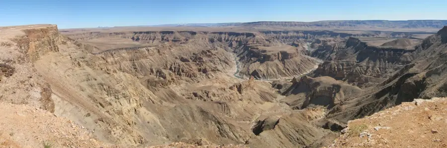
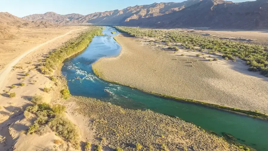
Sights nearby
💡 Tips
- If crossing into South Africa via Rietfontein, check the border post opening hours in advance.
- Stock up on fuel, water, and snacks here, as distances in this region of the Kalahari are vast.
- Nights can be surprisingly cold in winter, while summer days are scorching; pack layers.
- Many surrounding roads are gravel; a 4x4 or high-clearance vehicle is recommended, and ensure your spare tire is in good condition.
🍽 Food
Buy this air-dried cured meat as the first-rate road trip snack.
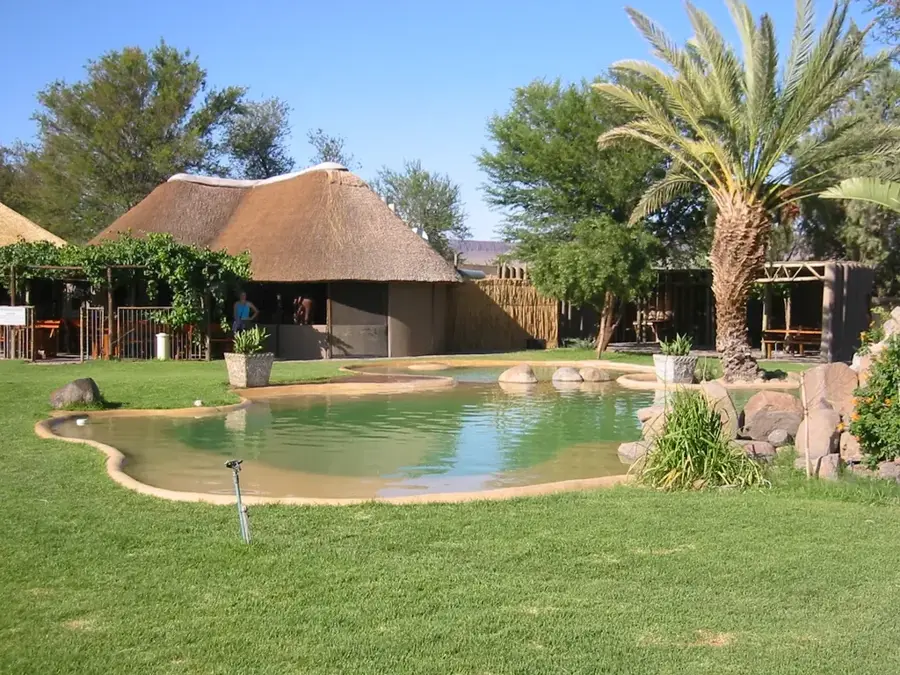
Enjoy traditionally barbecued meats at one of the local guesthouses.
A spiced sausage you can pick up from the local store for your own barbecue.
🛍 Shopping · 🧘 Quiet spots
Find practical provisions and snacks at the local convenience store.
Keep an eye out for handmade souvenirs sometimes sold at small roadside stalls.
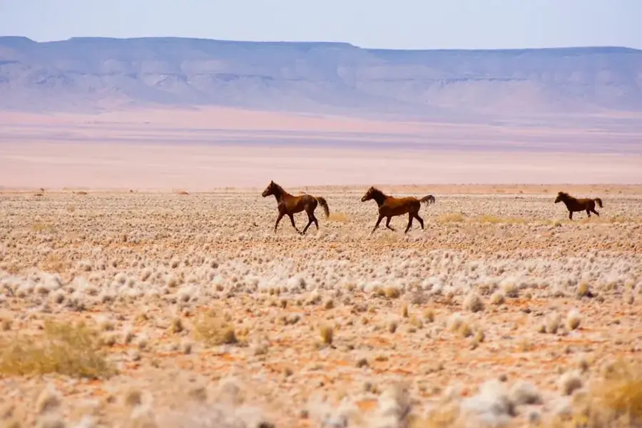
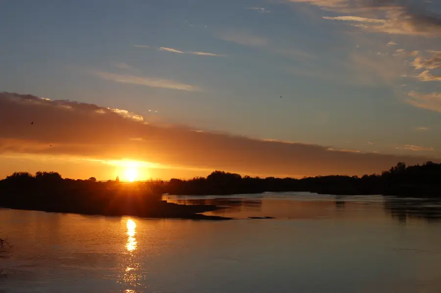
Watch the memorable sunset over the vast, open desert landscape just outside town.
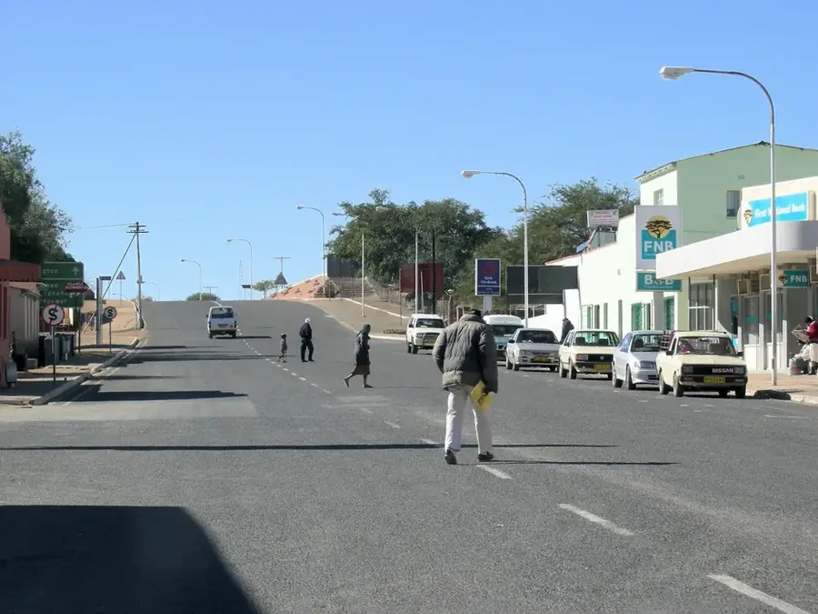
Enjoy the quietness of the dusty main street in the early morning.
Water temperature…
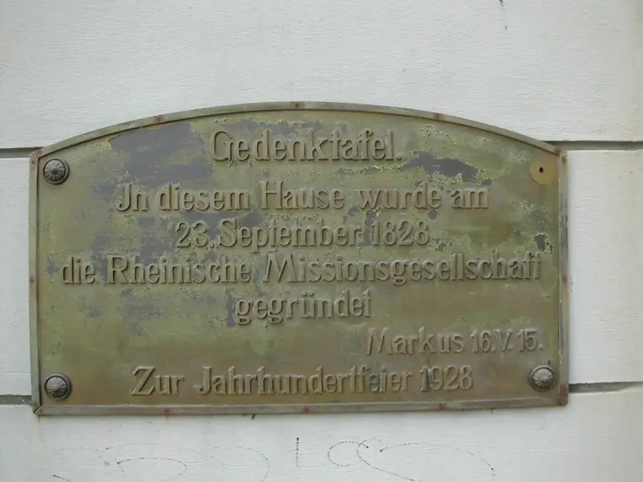
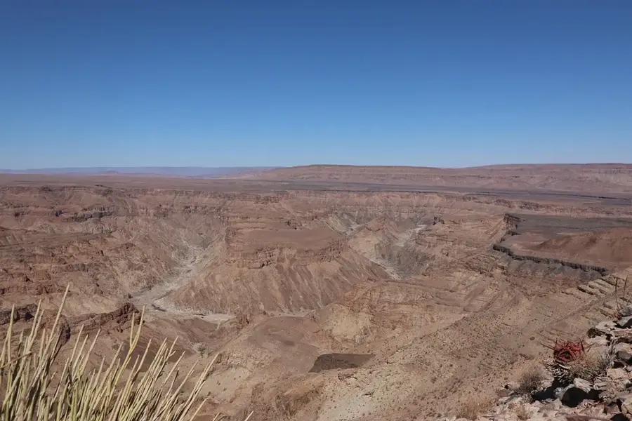
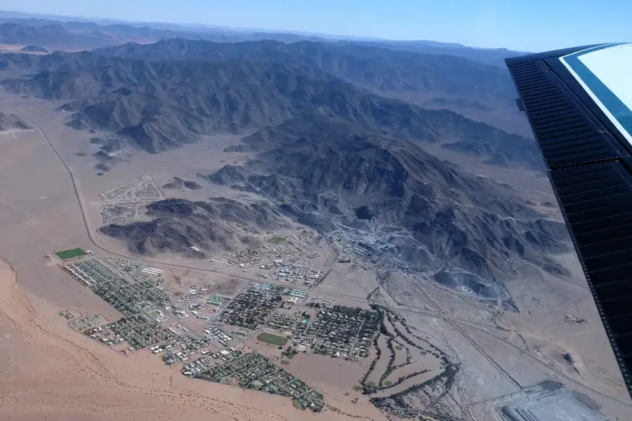
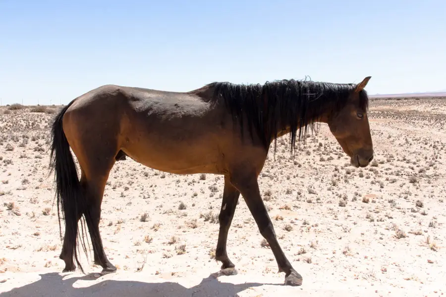
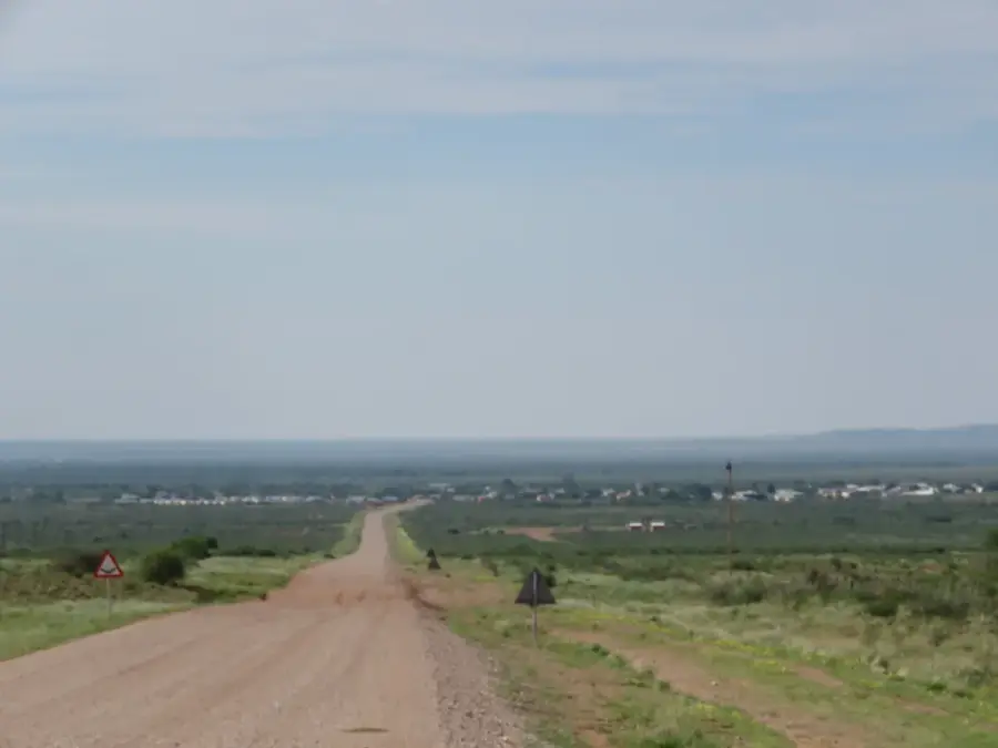
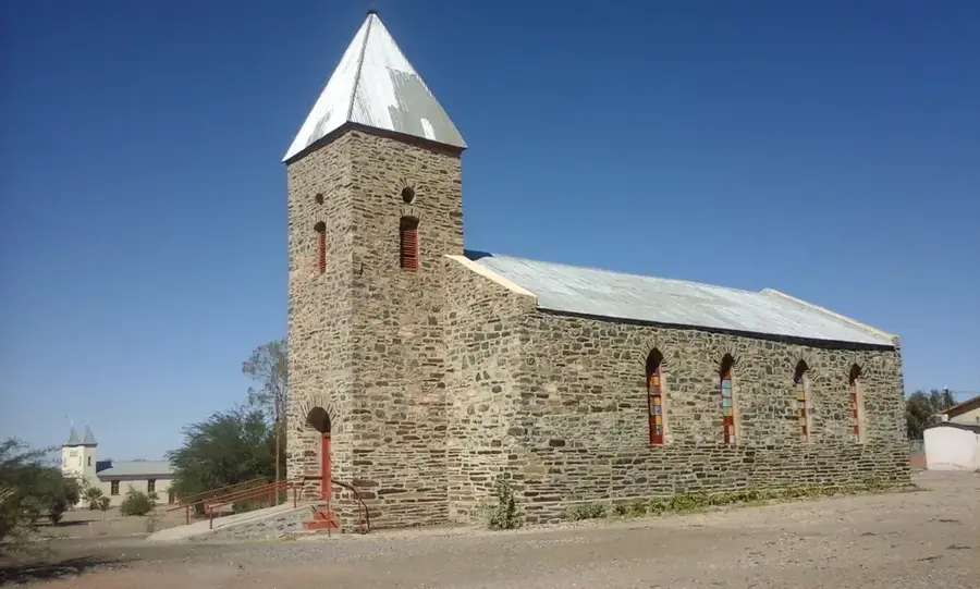
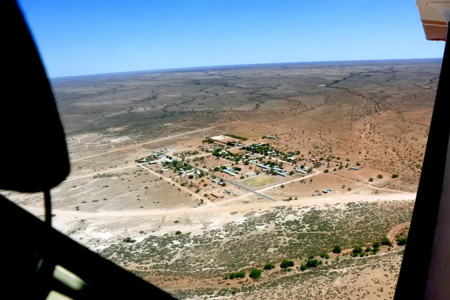
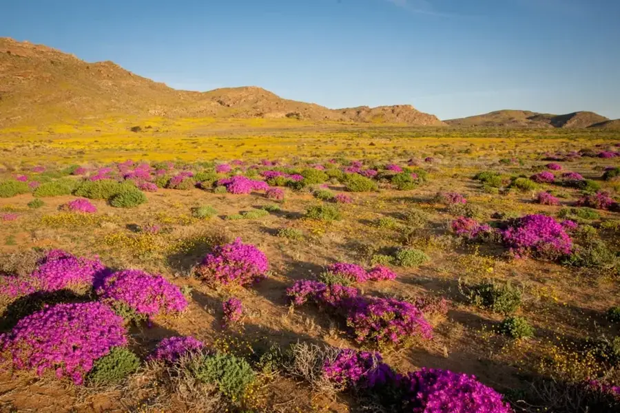
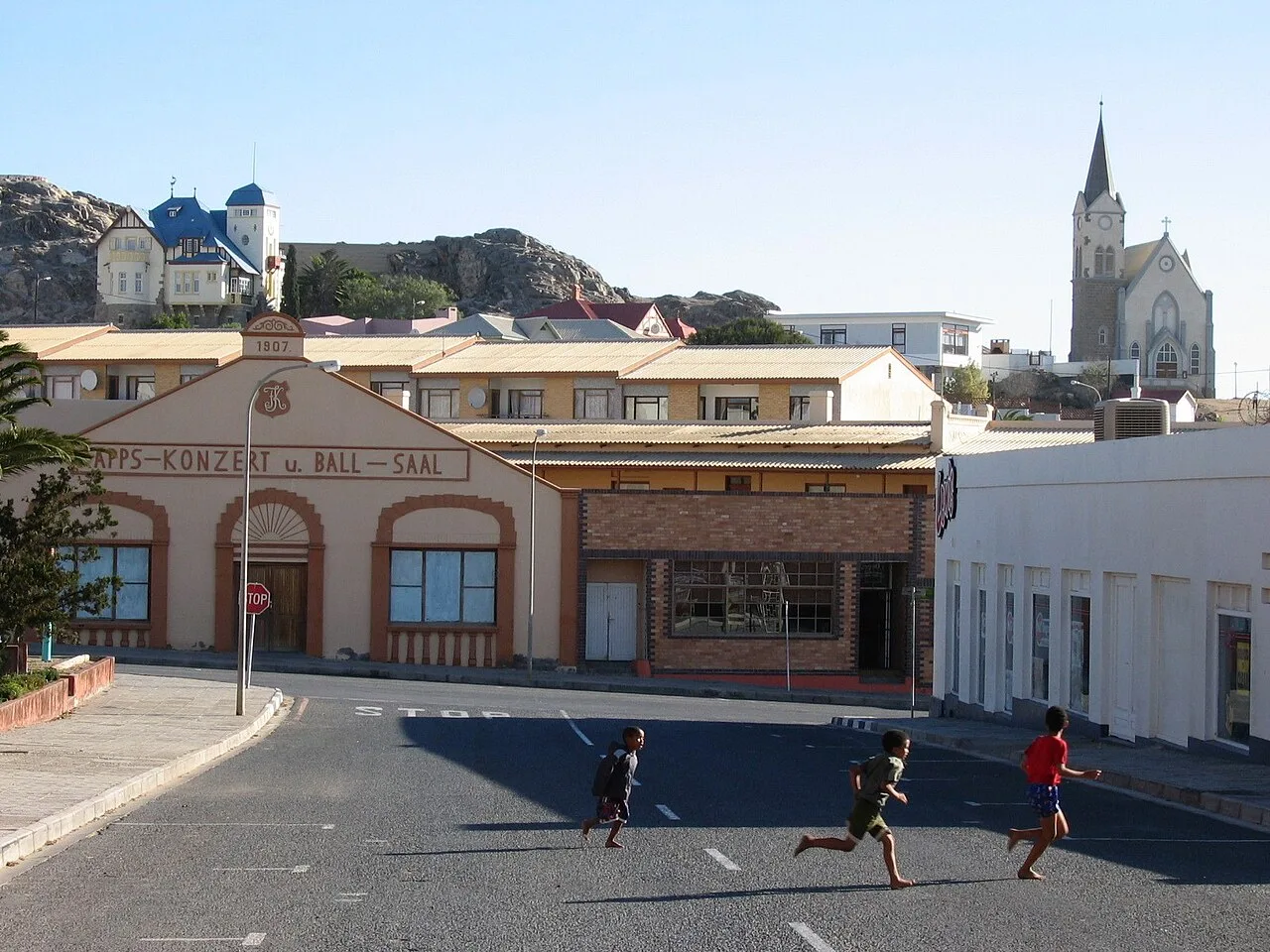
Aroab is a small village in the //Karas Region of southeastern Namibia, located within the Keetmanshoop Rural constituency. The settlement is situated in a remote, semi-arid region near the border with South Africa and functions as a critical supply center for the surrounding farming community. Geographically, Aroab lies in the transition zone between the Karoo vegetation and the red dunes of the southern Kalahari. The local economy is almost entirely dependent on extensive livestock farming, with Karakul and Merino sheep breeding having historically been the most significant sectors. Founded in the late 19th century, Aroab features a distinctive church and several historic buildings that mirror its colonial origins. Due to its location on the fringes of vast desert expanses, the village experiences an extreme continental climate with very hot summers and freezing winter nights.
- Location: Namibia
- Population: ~1.967 (2024)
Best time to visit & climate
The most pleasant time to visit is Apr, Sep, Oct.
| Jan | Feb | Mar | Apr | May | Jun | Jul | Aug | Sep | Oct | Nov | Dec | |
|---|---|---|---|---|---|---|---|---|---|---|---|---|
| Avg °C | 28 | 27 | 25 | 21 | 17 | 12 | 12 | 14 | 18 | 22 | 25 | 27 |
| Rain mm | 40 | 43 | 45 | 36 | 8 | 2 | 1 | 1 | 2 | 8 | 12 | 29 |
Geography
Facts
- Located 35 km from the South African border
- Established in the late 19th century
- Center for Karakul sheep farming in the southeast
- Situated at an elevation of about 1,180 meters
- The village has a population of around 2,000
- Key stopping point on the route to Rietfontein
Explore nearby
Notable places around
Route planner — Car & Motorhome
Where do you start? We build the route here, with stops and country notes along the way.
© OpenStreetMap contributors · OpenRouteService
Sights in the town Aroab (1)
Frequently asked questions
What characterizes Aroab?
Who is it a destination for?
Is it safe?
What is the weather like?
Are there attractions?
Aroab: where is it located?
Aroab: when is the best time to visit?
Aroab: why is it worth visiting?

Nearby cities
History & landmarks


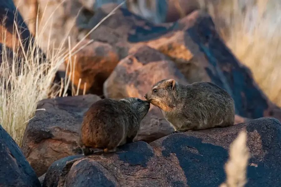
Nature
More places