Plizio Visual Lab
Karasburg
ℹ️Practical info — Karasburg
▾
🌤 Weather — 5 days
📍 Nearby
Sights nearby
💡 Tips
- Stock up on supplies and fuel here; it's the last major commercial center before heading to the Fish River Canyon or the South African border.
- Summers can be brutally hot, so plan any outdoor activities for the early morning.
- Tap water is generally safe, but having bottled water on hand for long drives is highly recommended.
- English is the official language, but Afrikaans is widely spoken and a few phrases will be much appreciated.
🍽 Food
Traditional dried meat snacks essential for road trips. Buy them at local butcheries or supermarkets in town.
The region is famous for Karakul sheep. Look for lamb chops or stews in local guesthouses and restaurants.
Fried dough bread typically filled with savory mince or syrup. Available at small local bakeries or cafes.
🛍 Shopping · 🧘 Quiet spots
The town has large supermarkets and general stores on the main road, excellent for picking up camping supplies and groceries.
Essential stops for high-quality Namibian meat and homemade sausages for a traditional braai (barbecue).
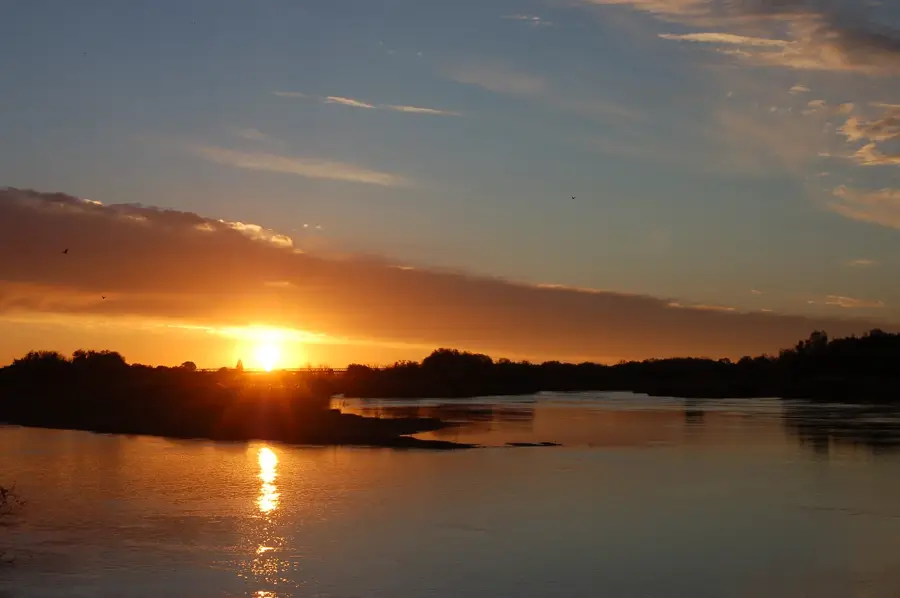
Take a short walk to the outskirts of town at dawn to witness a spectacular, uninterrupted Namibian sunrise over the plains.
Many local accommodations have shaded, tranquil gardens with birdlife, offering a cool respite from the heat.
Water temperature…
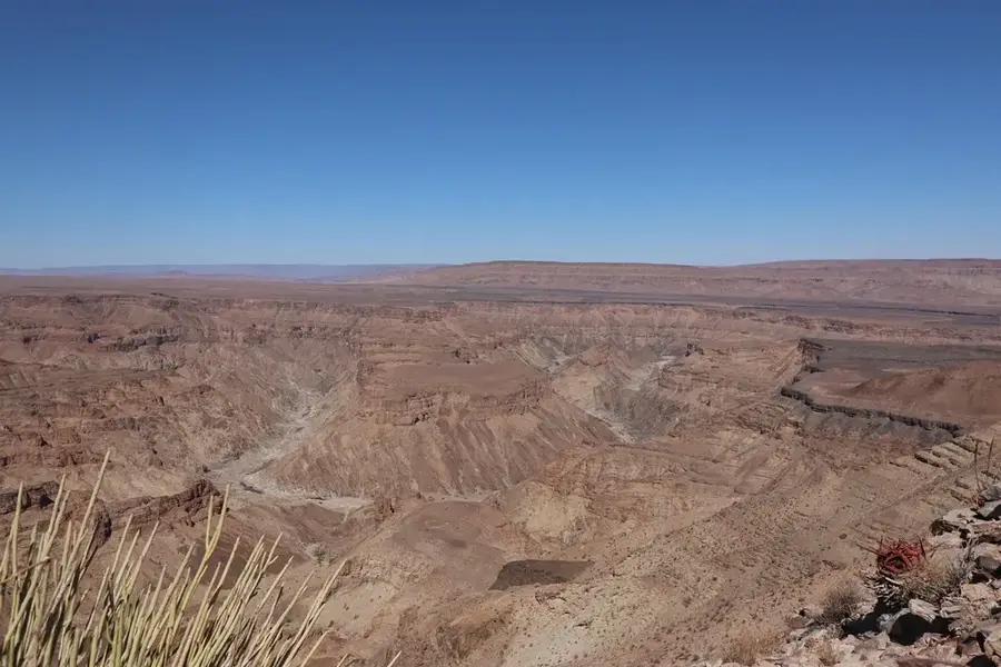
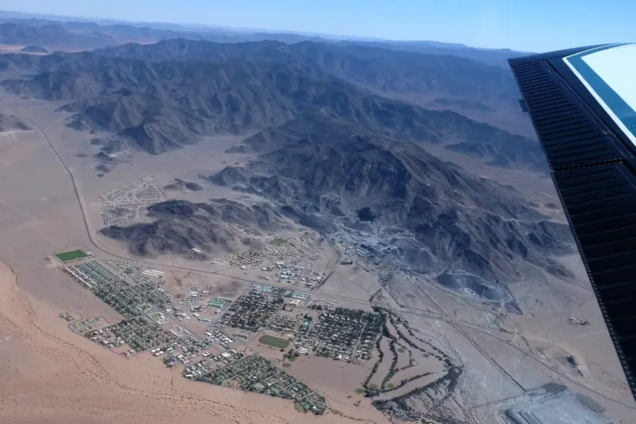
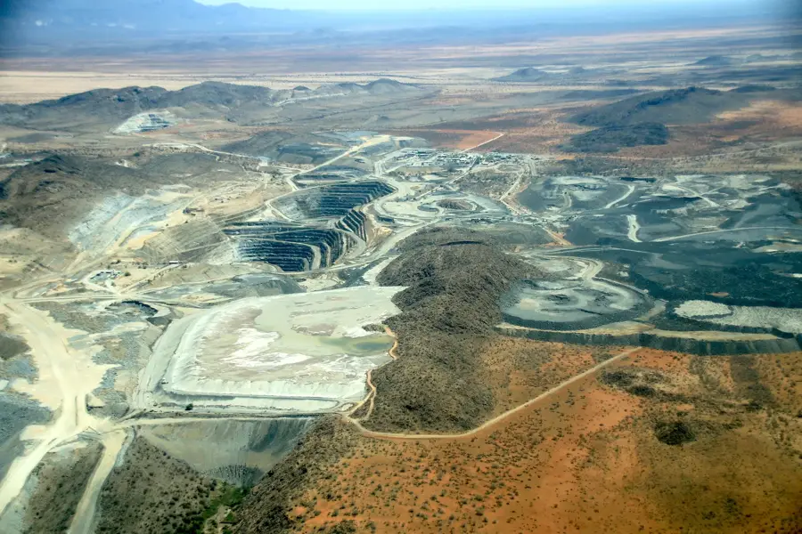
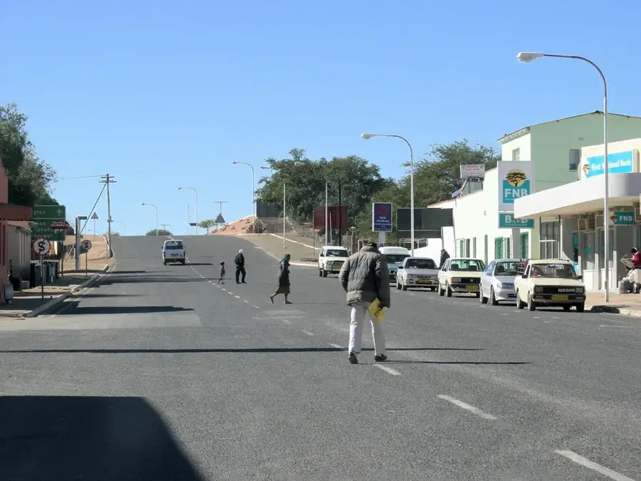
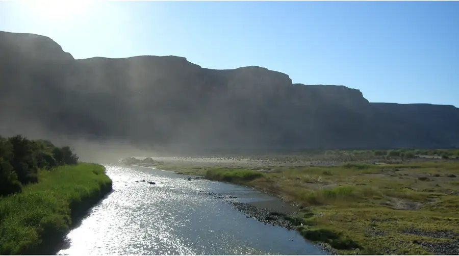
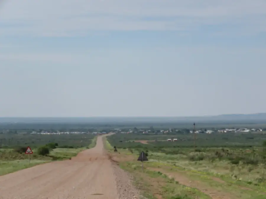
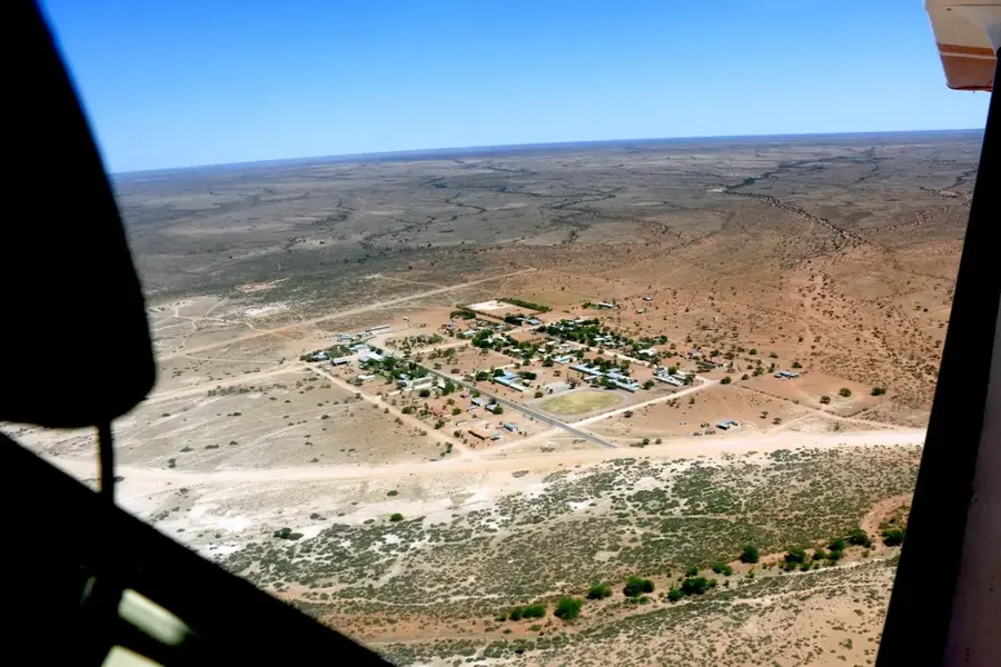
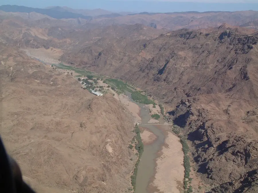
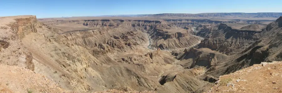
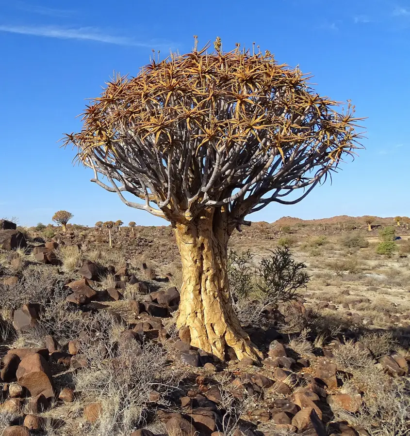
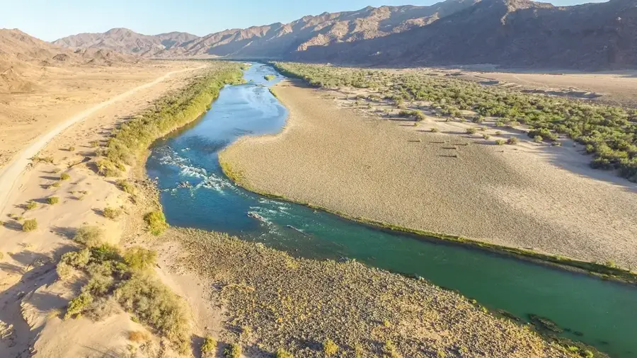
Karasburg is the administrative capital of its namesake constituency within the ǁKharas Region in the far south of Namibia. The town is strategically situated along the railway line and the main highway connecting Namibia with South Africa, making it a vital border and trading post. Originally established under the name Kalkfontein, it was officially renamed Karasburg in 1939 to honor the nearby Great Karas Mountains. The surrounding environment consists of arid plains and shrubland, which is highly suited for small stock farming, including sheep and goats. For many decades, the breeding of Karakul sheep was the economic mainstay of the district. Due to its remote southern location, Karasburg serves as an essential service center for the surrounding commercial and communal farms. It also functions as a convenient transit stop for tourists traveling toward the Fish River Canyon or across the border to Upington.
- Location: Namibia
- Nearby: Warmbad (48 km)
- Population: ~6.054 (2023)
Best time to visit & climate
The most pleasant time to visit is Apr, Oct, Nov.
| Jan | Feb | Mar | Apr | May | Jun | Jul | Aug | Sep | Oct | Nov | Dec | |
|---|---|---|---|---|---|---|---|---|---|---|---|---|
| Avg °C | 26 | 26 | 25 | 21 | 17 | 13 | 13 | 14 | 17 | 21 | 23 | 25 |
| Rain mm | 21 | 22 | 17 | 18 | 6 | 5 | 4 | 6 | 3 | 5 | 7 | 12 |
Geography
Facts
- Karasburg was renamed from Kalkfontein to its current name only in 1939.
- The town is the most significant hub for the sheep farming industry in southern Namibia.
- Karasburg is located approximately 730 kilometers south of the capital, Windhoek.
- The railway line through Karasburg provides a direct link to the South African rail network.
- The region's climate is extremely arid, receiving less than 200 mm of rain per year.
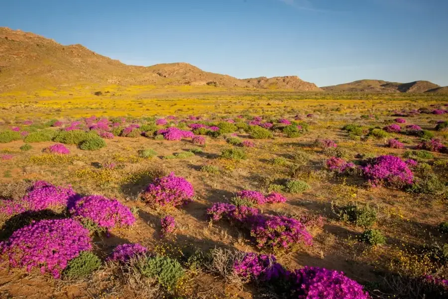
- The Great Karas Mountains north of the town reach elevations exceeding 2,200 meters.
Explore nearby
Notable places around
Route planner — Car & Motorhome
Where do you start? We build the route here, with stops and country notes along the way.
© OpenStreetMap contributors · OpenRouteService
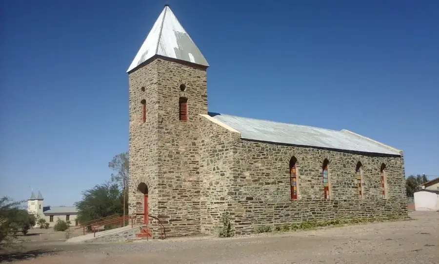
Sights in the town Karasburg (1)
Frequently asked questions
What is Karasburg known for?
How can I get to Karasburg?
When is the best time for a stop?
Are there any attractions?
What is nature like in the region?
Karasburg: where is it located?
Karasburg: when is the best time to visit?
Karasburg: why is it worth visiting?

Nearby cities
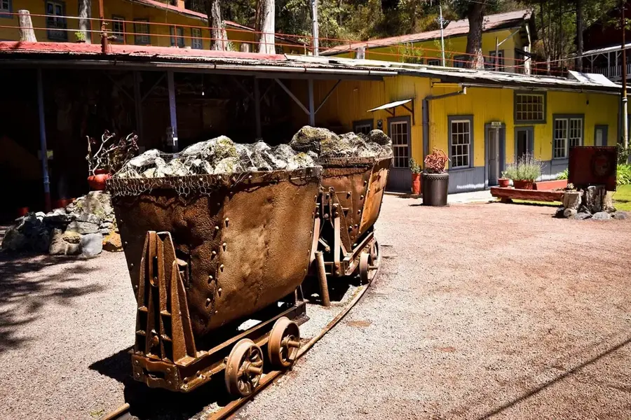
History & landmarks


Nature
More places