Plizio Visual Lab
Koës
ℹ️Practical info — Koës
▾
🌤 Weather — 5 days
📍 Nearby
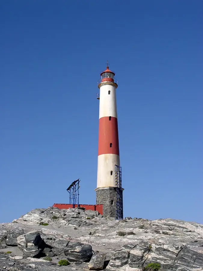
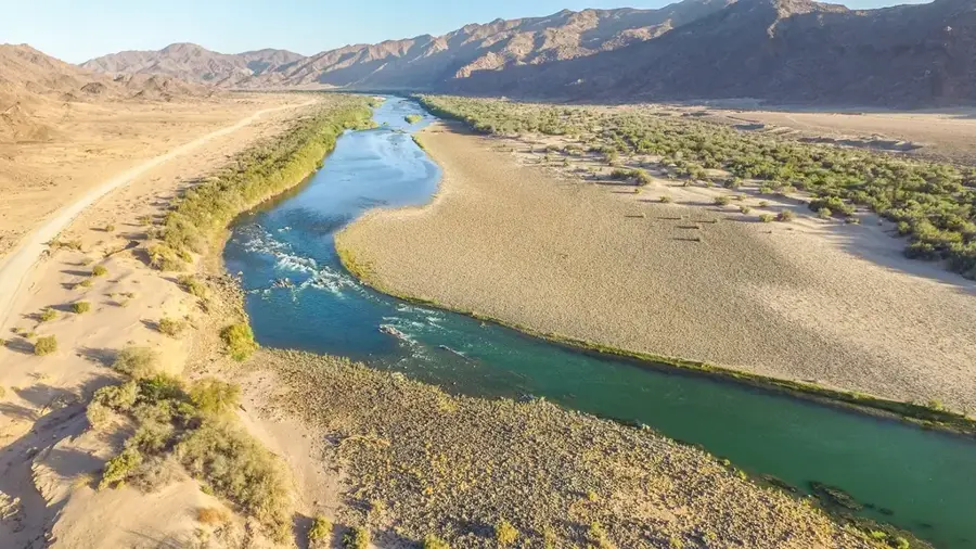
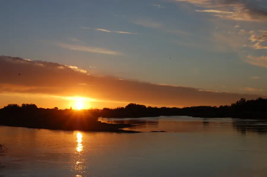
Sights nearby
💡 Tips
- Fuel availability can be erratic, so fill up your tank whenever the local petrol station has supply.
- The gravel roads (C17) leading to the town require a sturdy vehicle and lowered tire pressure for a safer drive.
- Summer temperatures are scorching; plan all outdoor activities for early morning or late afternoon.
- Off-road racing events occasionally take place on the nearby dry pans; check local schedules if you wish to see them or avoid the noise.
🍽 Food
Meat cooked over open coals is a staple; best enjoyed at local guesthouses where springbok or beef is served.
Cured, dried meat available at the general store, excellent as a snack for your long drives.
Bread baked on a grid over the fire, often served with butter or jam alongside a meat dish.
🛍 Shopping · 🧘 Quiet spots
The main shop in town where you can restock on water, basic groceries, and road trip snacks.
Occasionally found on routes out of town, offering homemade jams, preserves, or baked goods.
Drive out to the vast salt pans just outside of town for absolute silence and incredible stargazing at night.
Take a walk among the nearby Kalahari dunes in the late afternoon for impressive red and gold photography.
Water temperature…
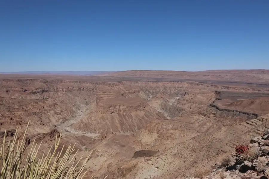
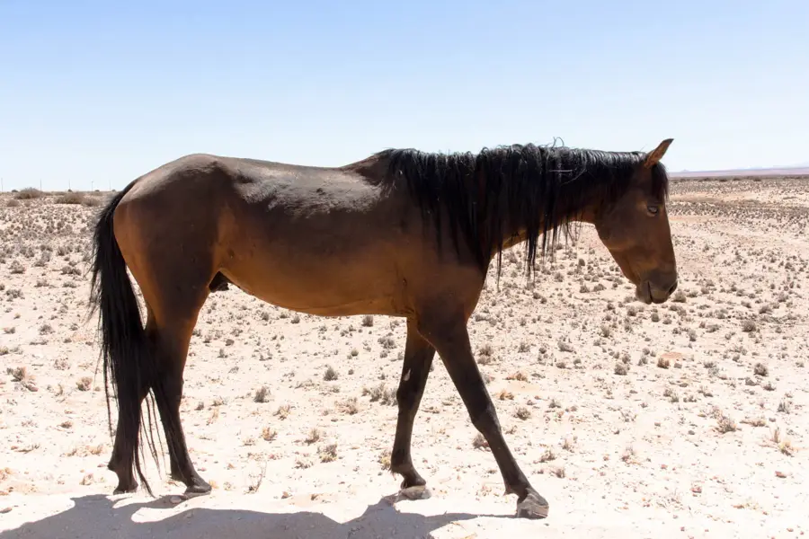
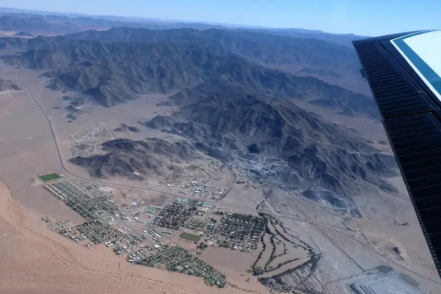
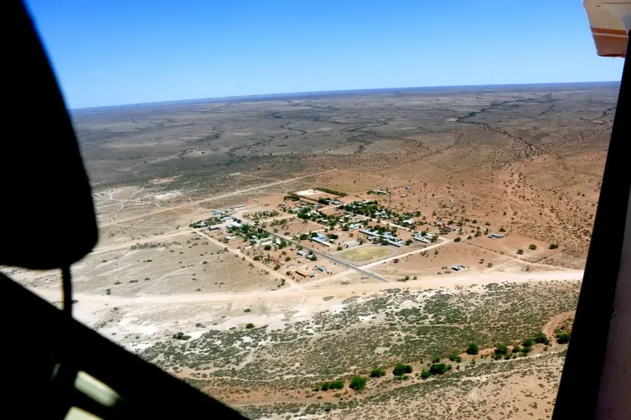
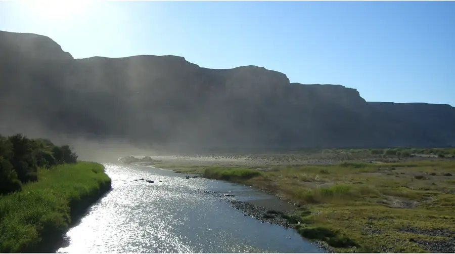
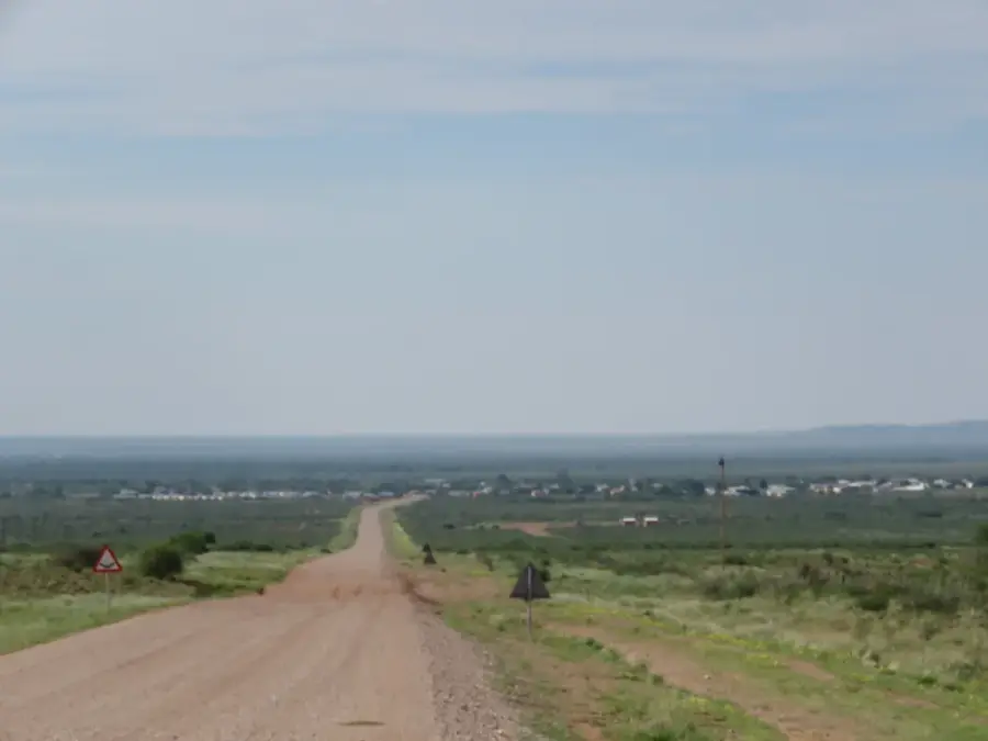
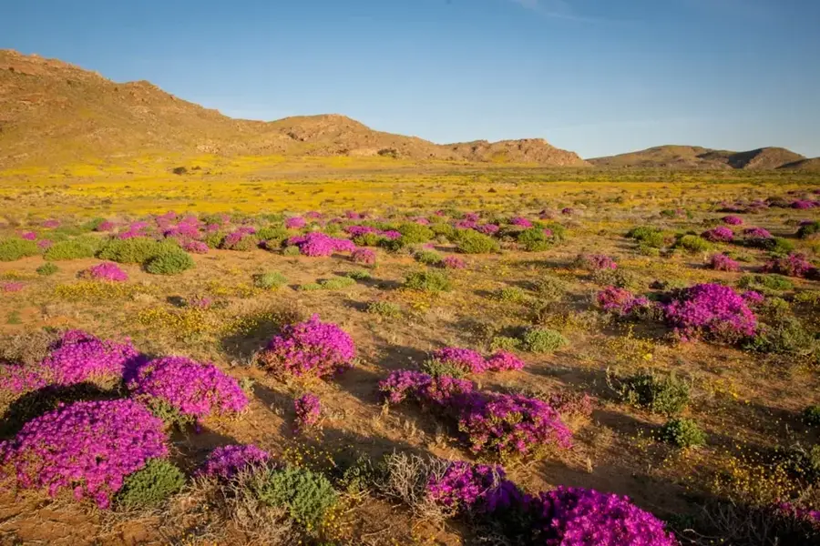
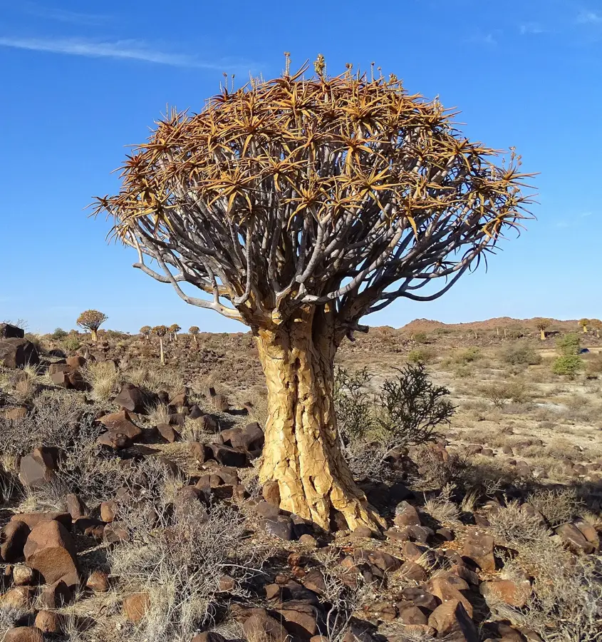
Koës is a settlement in the //Karas Region of southeastern Namibia, situated on the edge of the Kalahari Desert. Located about 130 kilometers northeast of Keetmanshoop, the town is primarily known for its extreme isolation and the vast, red sand dunes that define the local landscape. The economy of Koës is almost entirely driven by livestock farming, with sheep, goats, and cattle raised on massive commercial farms. Notable stands of quiver trees (Aloidendron dichotomum) are found near the settlement, representing a signature botanical feature of Namibia’s arid south. Geologically, the region is part of the Kalahari Basin, which is evident in the dominance of calcrete soils and sand formations. Koës acts as a social and economic hub for farmers in southeastern Namibia, providing essential services like schools and medical care for the sparsely populated district.
- Location: Namibia
- Population: ~1.813 (2024)
Best time to visit & climate
The most pleasant time to visit is Apr, Sep, Oct.
| Jan | Feb | Mar | Apr | May | Jun | Jul | Aug | Sep | Oct | Nov | Dec | |
|---|---|---|---|---|---|---|---|---|---|---|---|---|
| Avg °C | 28 | 28 | 26 | 22 | 17 | 13 | 13 | 15 | 19 | 23 | 26 | 28 |
| Rain mm | 37 | 36 | 29 | 32 | 4 | 1 | 0 | 1 | 1 | 5 | 8 | 21 |
Geography
Facts
- Located on the edge of the Kalahari dunes
- About 130 km northeast of Keetmanshoop
- Economic center for Karoo-style livestock farming
- Home to numerous indigenous quiver trees
- Situated at an elevation of approximately 970 meters
- The region is known for extreme summer temperatures
Explore nearby
Notable places around
Route planner — Car & Motorhome
Where do you start? We build the route here, with stops and country notes along the way.
© OpenStreetMap contributors · OpenRouteService
Frequently asked questions
Where is Koës located?
What can you do there?
Is it suitable for tourists?
What is the supply like?
What is the weather like?
Koës: where is it located?
Koës: when is the best time to visit?
Koës: why is it worth visiting?

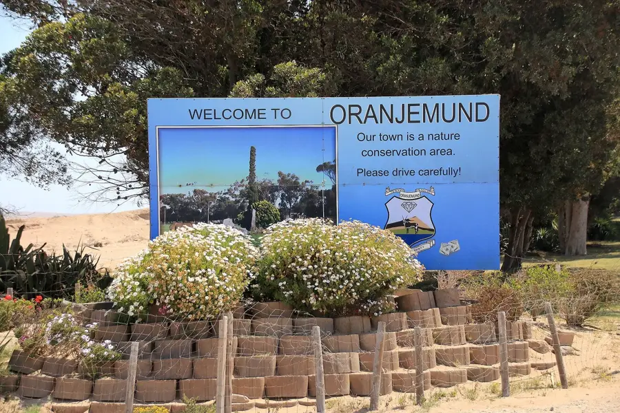
Nearby cities
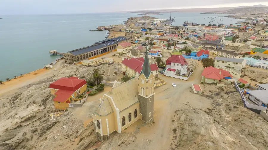
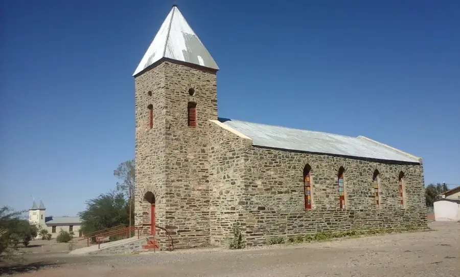
History & landmarks

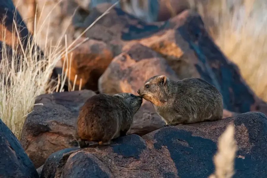
Nature
More places