Plizio Visual Lab
Keetmanshoop
ℹ️Practical info — Keetmanshoop
▾
🌤 Weather — 5 days
📍 Nearby
Sights nearby
💡 Tips
- Keetmanshoop is a major transit point; most shops close early on Saturdays and do not open on Sundays.
- Summer temperatures are scorching, while winter nights can freeze; layer your clothing.
- You need a car to visit the surrounding sights like the Quiver Tree Forest and Giant's Playground, as public transport is non-existent.
- Keep a close eye on your fuel gauge when driving in the region, and refuel in town before heading into the desert.
- English and Afrikaans are widely spoken; knowing a few Afrikaans phrases helps connect with locals.
🍽 Food
Excellent quality dried meats can be bought at local butcheries; great snacks for road trips.
Look for game meat like springbok or oryx on the menus of local hotel restaurants and steakhouses.
Grilled meat sold by street vendors; follow the smoke near the informal markets for a quick, authentic bite.
🛍 Shopping · 🧘 Quiet spots
The town has well-stocked supermarkets, making it the best place to resupply on groceries before heading to Fish River Canyon.
Look out for small curio shops selling handmade Namibian crafts and wooden carvings in the town center.
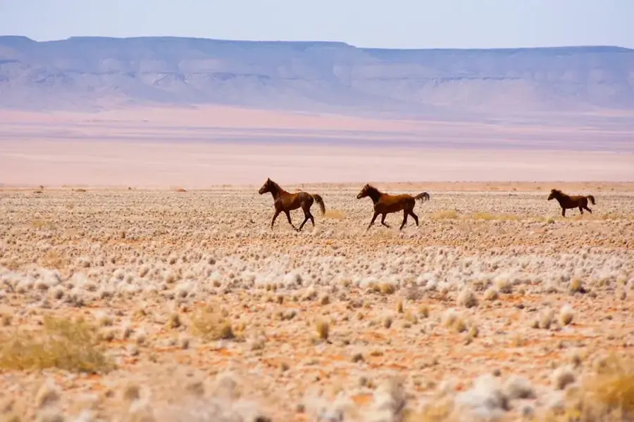
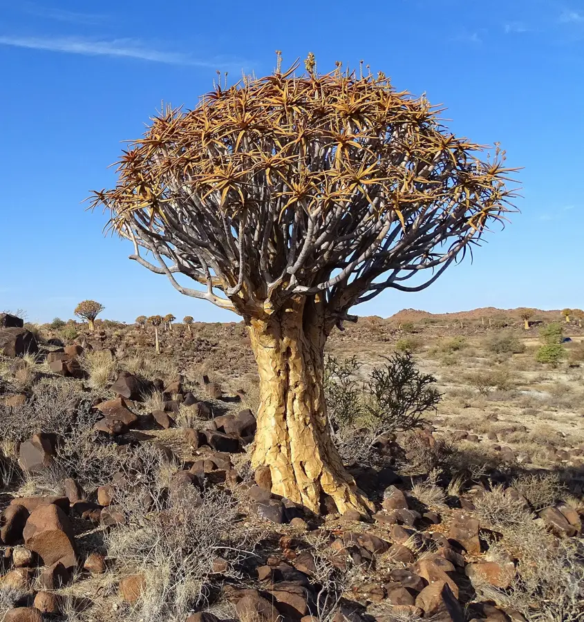
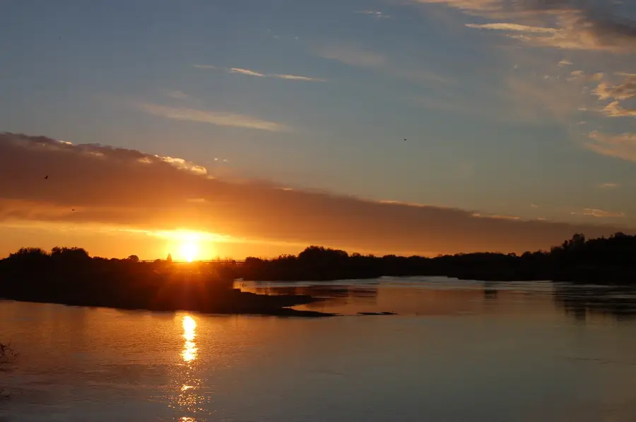
Just outside town, this alien-looking forest is spectacularly quiet, especially remarkable at sunset.
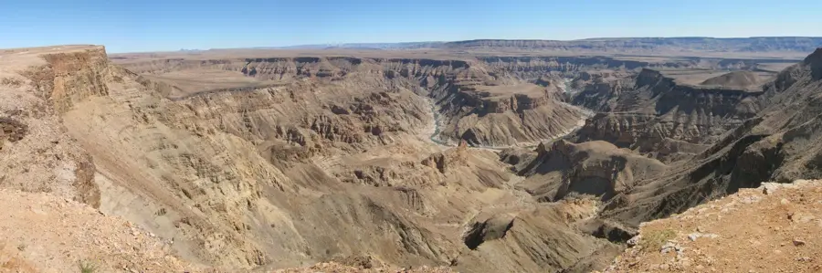
A bizarre and silent landscape of massive dolerite boulders stacked upon each other, well-suited for solitary exploration.
Water temperature…
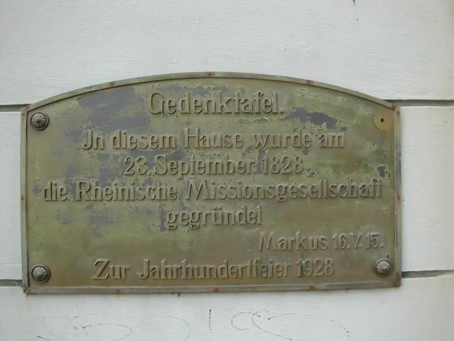
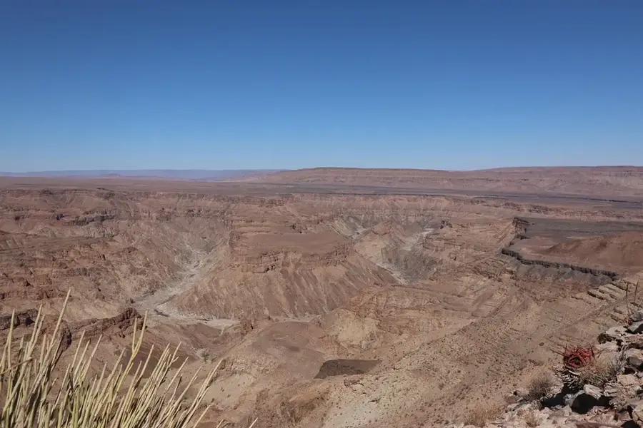
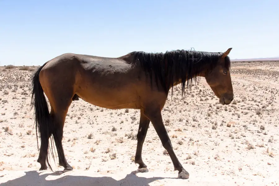
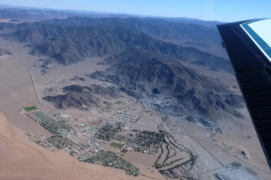
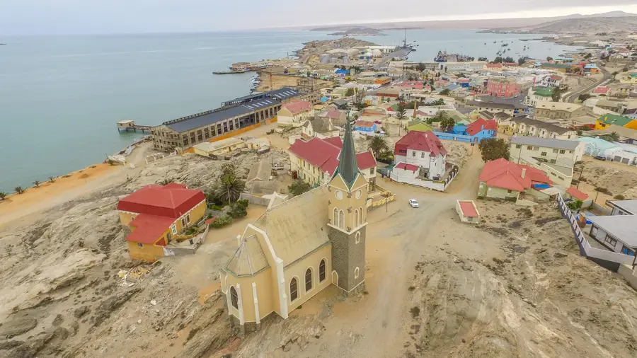
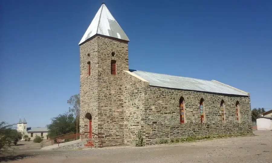
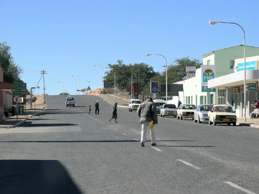
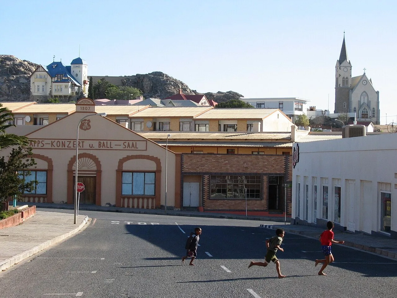
Keetmanshoop is the administrative capital of the ǁKaras Region and is regarded as the capital of southern Namibia. Founded in 1866 by the Rhenish Missionary Society, the town was named after the German industrialist Johann Keetman, who financially supported the mission. Architecturally, the town is defined by historic structures such as the old mission church built in 1895 and the Kaiserliches Postamt (Imperial Post Office). Keetmanshoop serves as a major railway junction on the line connecting Windhoek with South Africa and is a center for Karakul sheep farming. The town's arid and hot surroundings host fascinating natural landmarks, including the Quiver Tree Forest and the 'Giant's Playground,' a collection of bizarre dolerite rock formations. These attractions make the town an essential base for tourism in the southern part of the country. Economically, agriculture and mining in the broader region are significant, while the town itself functions as an educational and commercial hub for the Nama people.
- Location: Namibia
- Population: ~23.049 (2026)
Best time to visit & climate
The most pleasant time to visit is Apr, Sep, Oct.
| Jan | Feb | Mar | Apr | May | Jun | Jul | Aug | Sep | Oct | Nov | Dec | |
|---|---|---|---|---|---|---|---|---|---|---|---|---|
| Avg °C | 28 | 27 | 26 | 22 | 17 | 13 | 13 | 15 | 19 | 23 | 25 | 27 |
| Rain mm | 46 | 40 | 29 | 32 | 7 | 1 | 0 | 1 | 1 | 4 | 7 | 18 |
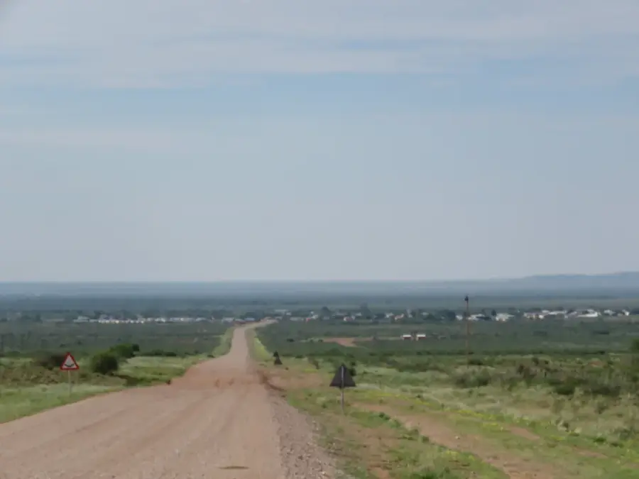
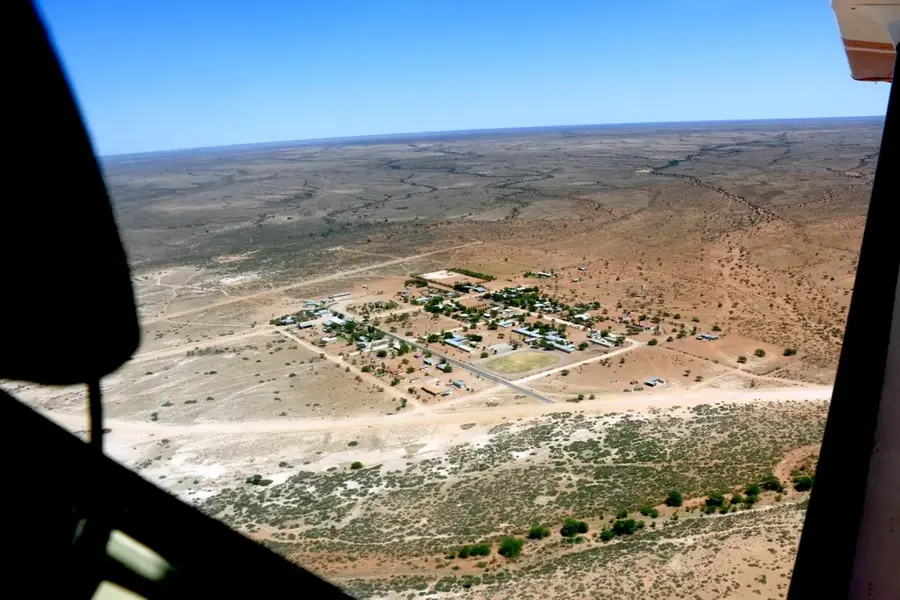
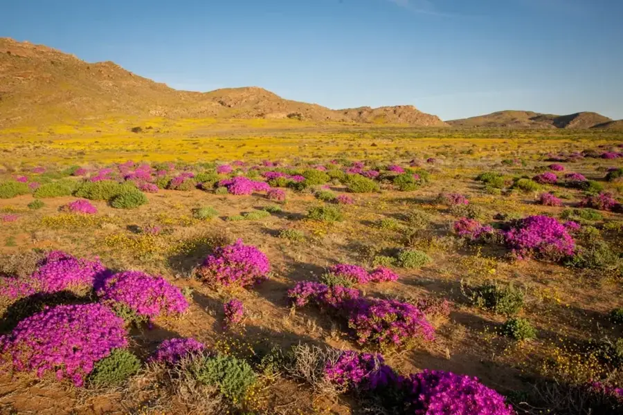
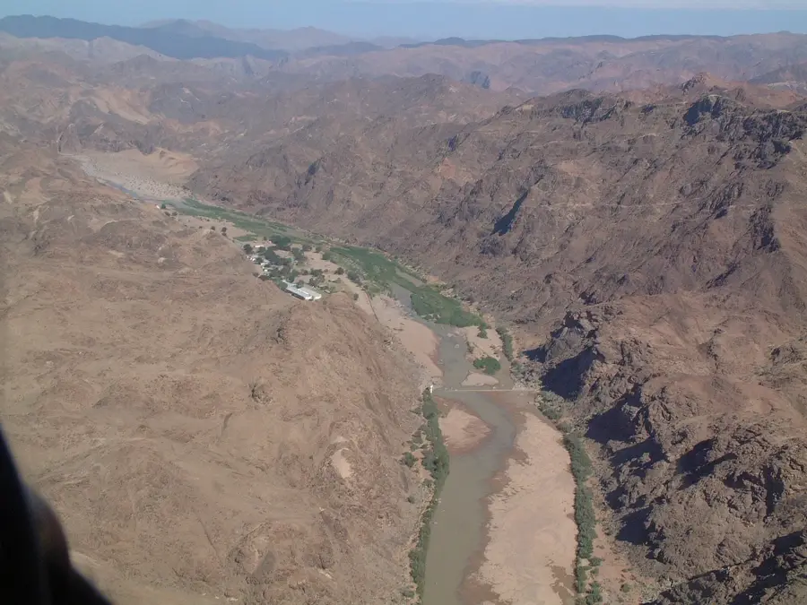
Geography
Facts
- The town was officially founded on April 14, 1866.
- The Quiver Tree Forest nearby contains approximately 250 specimens.
- Keetmanshoop is located about 500 kilometers south of Windhoek.
- The old mission church now functions as the town's local museum.
- The town is known as one of the sunniest places in Namibia.
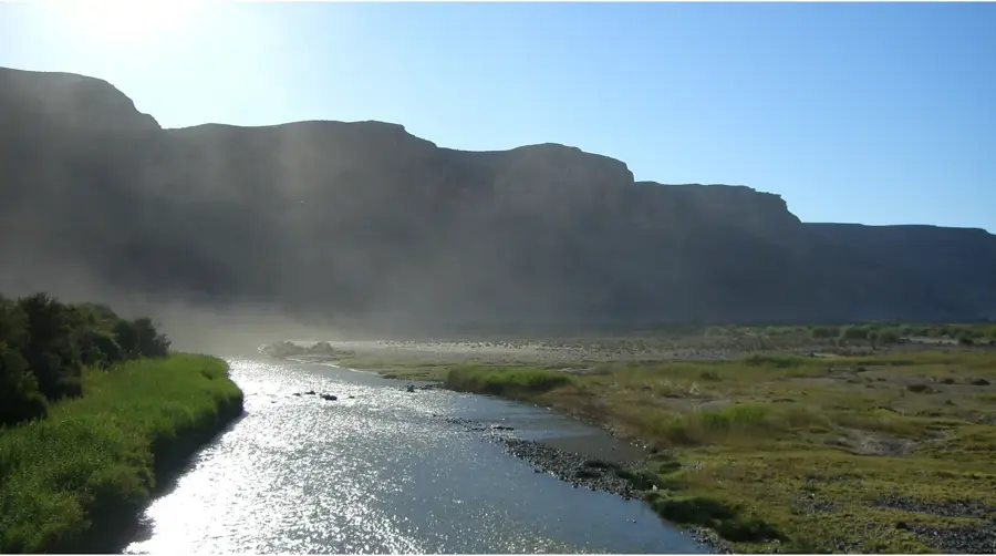
- The nearby Naute Dam is the third-largest dam in the country.
Explore nearby
Notable places around
Route planner — Car & Motorhome
Where do you start? We build the route here, with stops and country notes along the way.
© OpenStreetMap contributors · OpenRouteService
Sights in the town Keetmanshoop (1)
Frequently asked questions
What is the highlight in Keetmanshoop?
When should I visit the Quiver Tree Forest?
How can I get to Keetmanshoop?
What temperatures should I expect here?
How long should I stay here?
Keetmanshoop: where is it located?
Keetmanshoop: when is the best time to visit?
Keetmanshoop: why is it worth visiting?

Nearby cities
History & landmarks


Nature
More places