Plizio Visual Lab
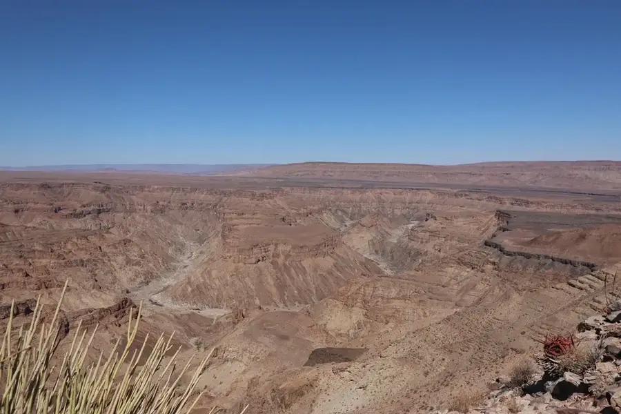
Fish River Canyon
Weather…
Water temperature…
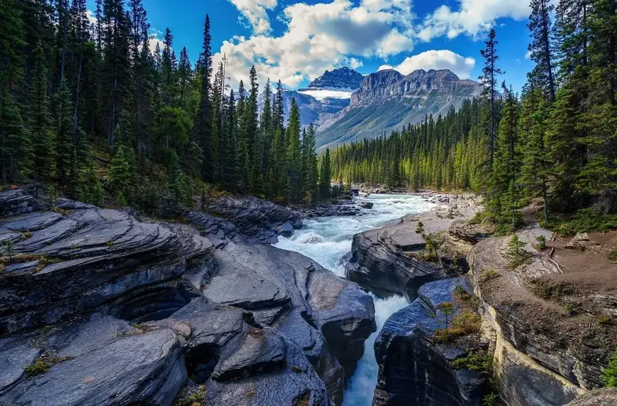
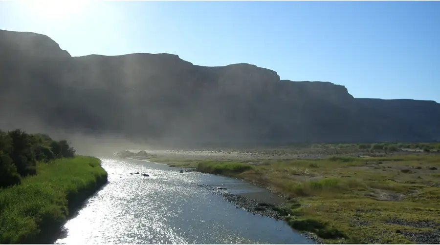
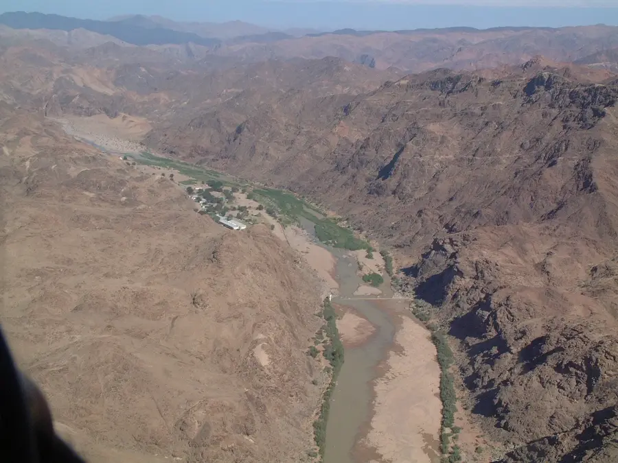
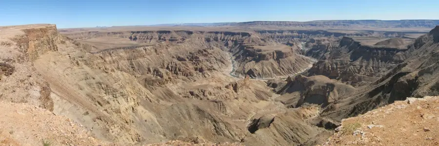
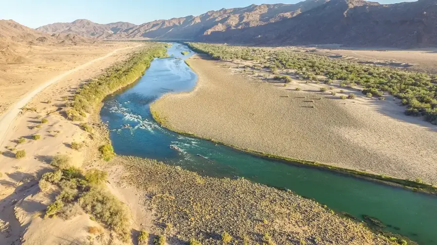
The Fish River Canyon in southern Namibia is widely regarded as the second largest canyon in the world and the largest in Africa. Stretching approximately 160 kilometers in length and reaching widths of up to 27 kilometers, it plunges to depths of around 550 meters. Its complex geological history dates back over a billion years, involving the deposition of sediments, tectonic plate movements that caused a rift valley to collapse, and subsequent erosion by the Fish River. Today, the river is ephemeral, often reduced to a chain of stagnant pools during the dry winter months. The canyon is a cornerstone of the Ai-Ais Richtersveld Transfrontier Park, showcasing a stark, prehistoric desert landscape. It is world-famous for the Fish River Canyon Trail, an 85-kilometer, multi-day trek through the gorge floor that is strictly regulated for safety. Scenic overlooks such as 'Hell's Corner' provide panoramic views of the river's massive meanders, while the thermal springs at Ai-Ais offer a natural geothermal retreat at the canyon's southern exit.
- Location: Namibia
- Top sights: Sunset Viewpoint · Fish River Canyon View Point · Hiker's Viewpoint
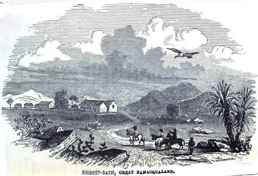
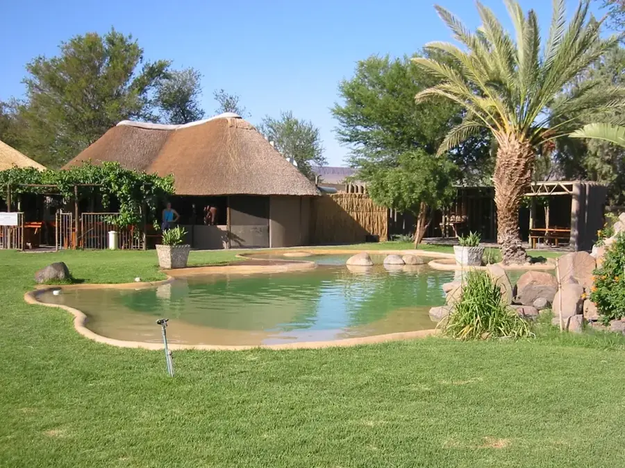
- Nearby: Ai-Ais (37 km)
Best time to visit & climate
The most pleasant time to visit is Apr, Oct, Nov.
| Jan | Feb | Mar | Apr | May | Jun | Jul | Aug | Sep | Oct | Nov | Dec | |
|---|---|---|---|---|---|---|---|---|---|---|---|---|
| Avg °C | 26 | 26 | 25 | 22 | 18 | 14 | 13 | 14 | 18 | 22 | 23 | 25 |
| Rain mm | 26 | 27 | 19 | 26 | 7 | 3 | 3 | 6 | 2 | 7 | 8 | 8 |
📋 Practical info
Geography
Facts
- The total length of the canyon is roughly 160 km.
- Its maximum depth reaches approximately 550 meters.
- The oldest exposed rocks are 1.2 billion years old.
- The Fish River Canyon Trail spans 85 kilometers.
- It is part of the Ai-Ais Richtersveld Transfrontier Park.
- The river usually flows only between January and April.
Explore nearby
Notable places around
Route planner — Car & Motorhome
Where do you start? We build the route here, with stops and country notes along the way.
© OpenStreetMap contributors · OpenRouteService
Sights in the town Fish River Canyon (3)
Sights nearby
Frequently asked questions
Can one hike the canyon independently?
When is the best season?
Is the canyon family-friendly?
What should I bring?
Are there sanitary facilities?
Fish River Canyon: where is it located?
Fish River Canyon: what is there to see?
Fish River Canyon: when is the best time to visit?
Fish River Canyon: why is it worth visiting?

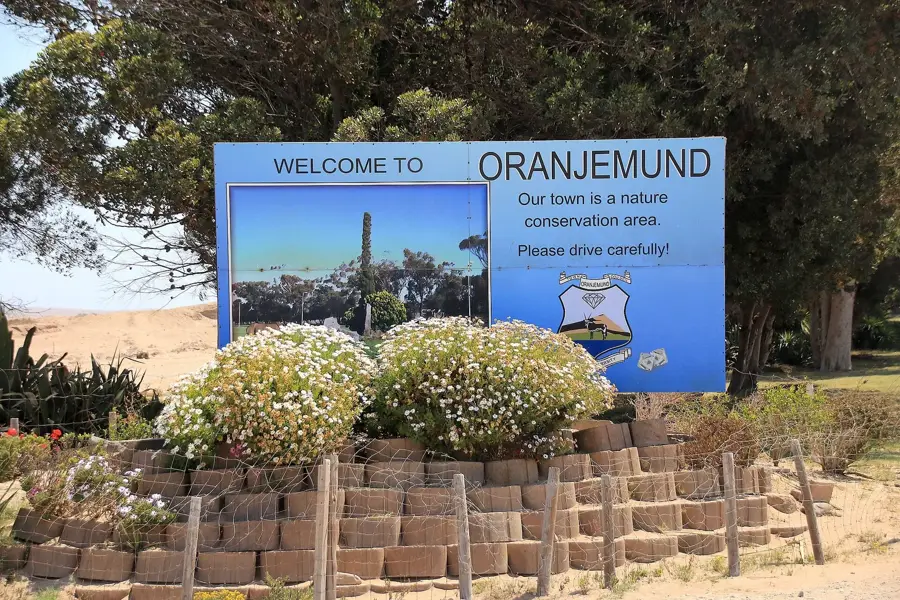
Nearby cities
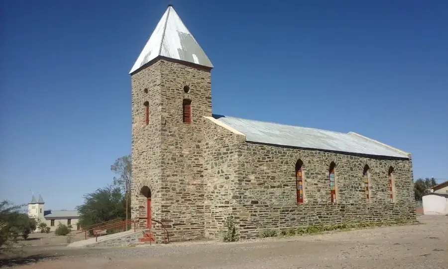
History & landmarks


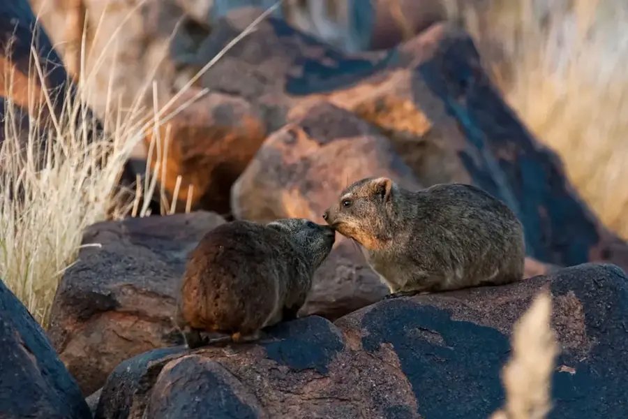
Nature
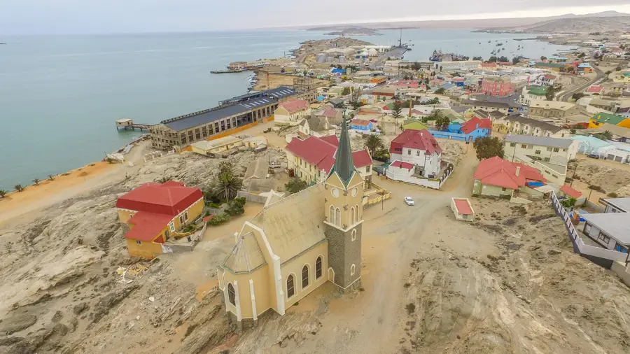
More places