Plizio Visual Lab
Vlaska Peak

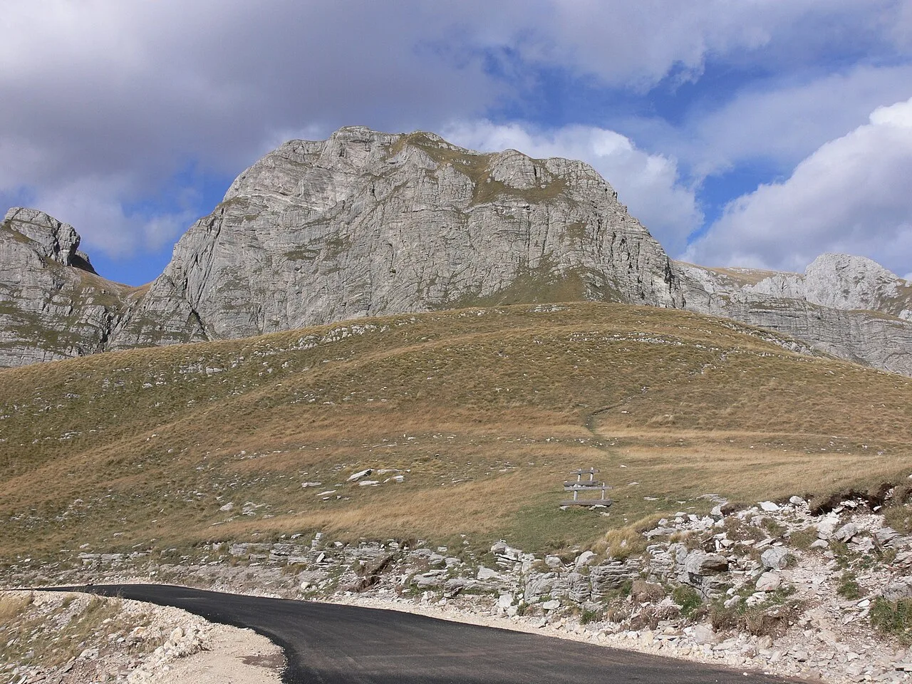
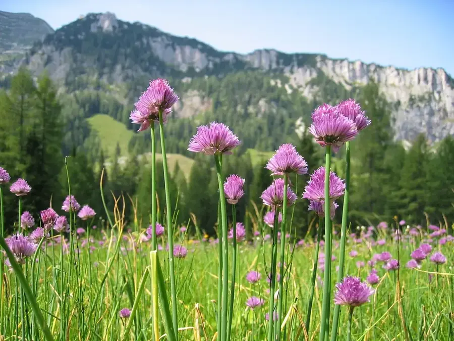
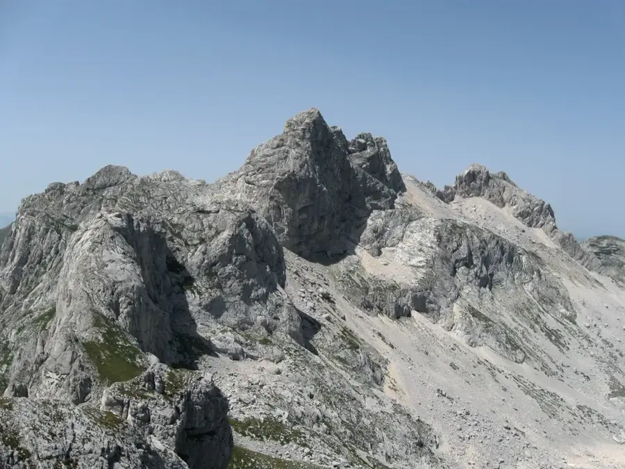
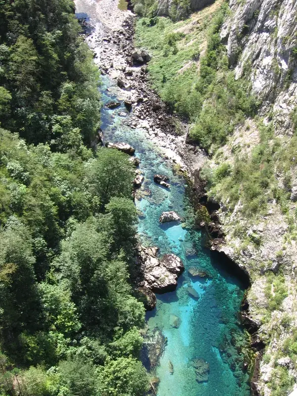
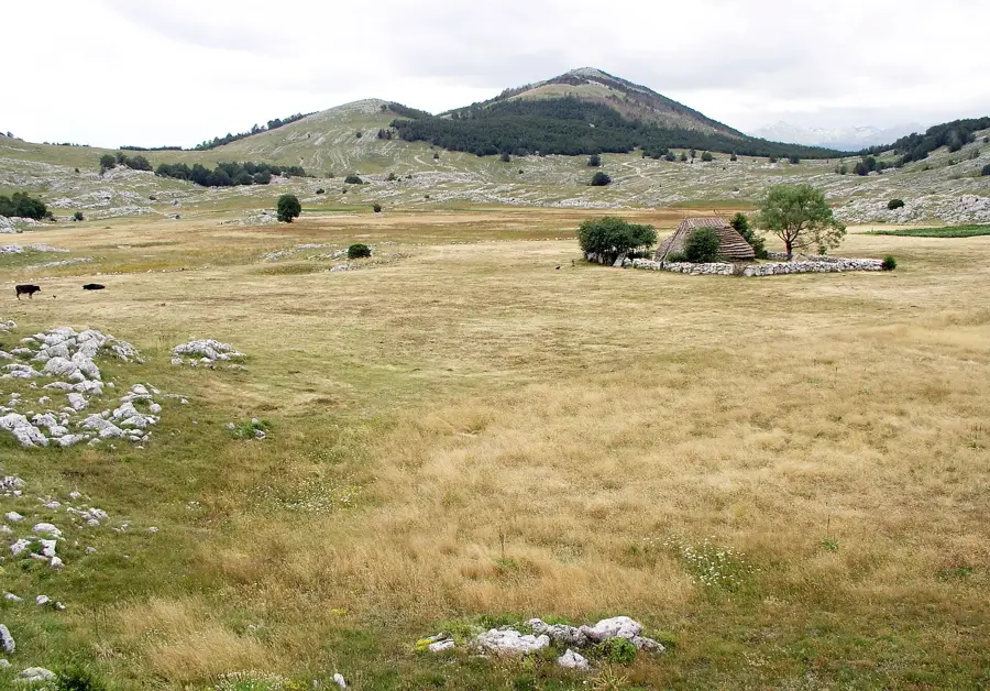
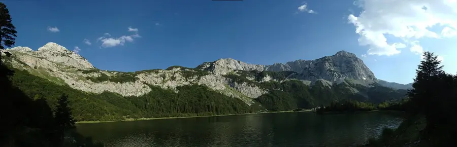
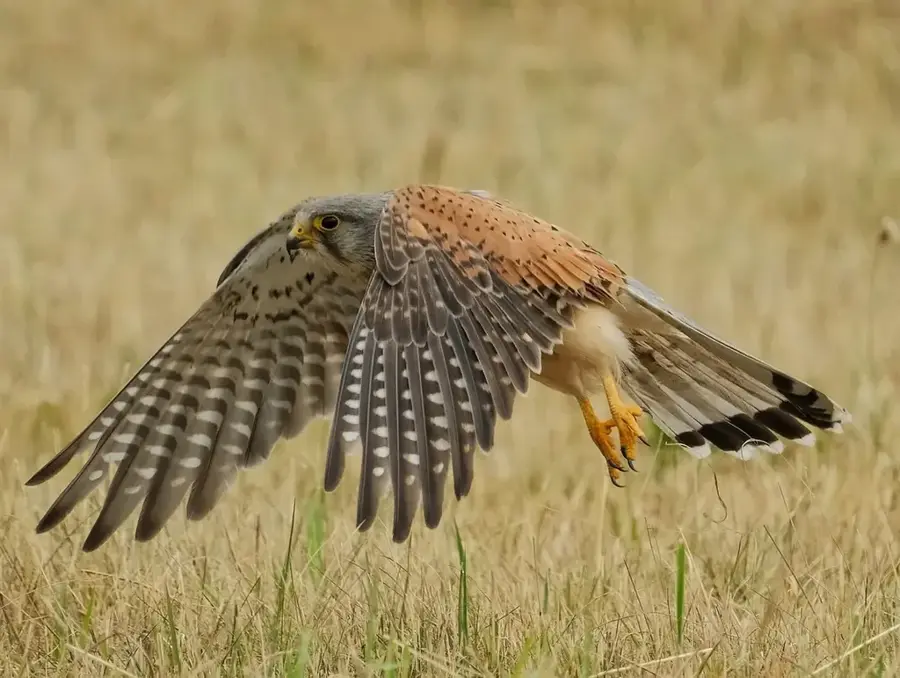
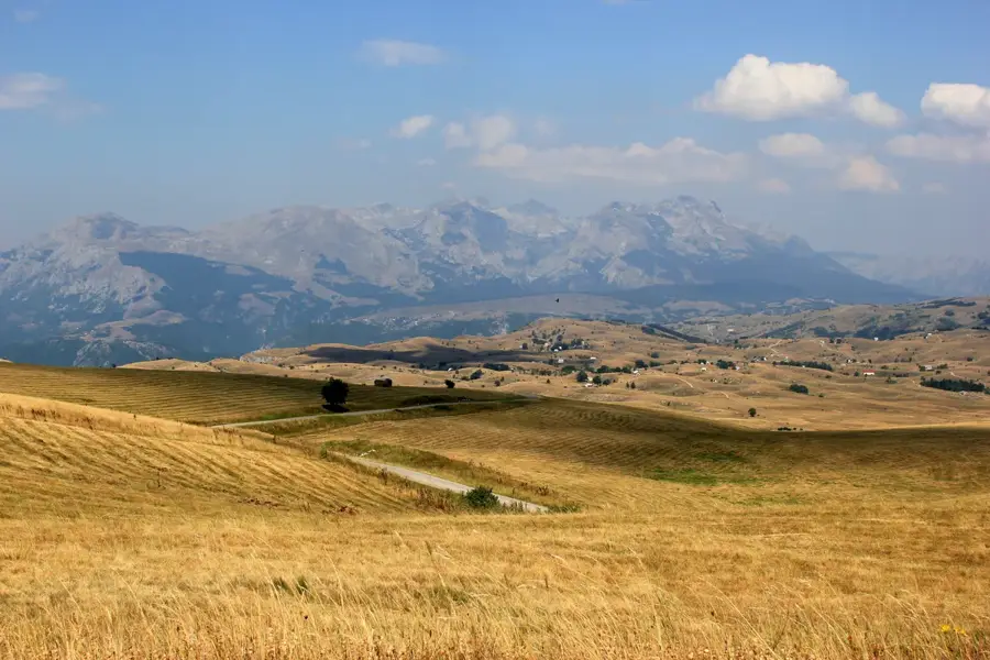
Vlaška Peak is an impressive elevation in the Kuči Mountains of eastern Montenegro, reaching an altitude of approximately 2033 meters. This region is well-known for its wild karst landscapes and the deep canyons that traverse the mountain range. Geologically, Vlaška consists primarily of limestone, which achieved its rugged forms through tectonic uplift followed by erosion. Historically, the peak and the surrounding region are closely linked to the Kuči tribe, who have used these mountains as a natural fortress and summer grazing grounds for centuries. The climate is typically high alpine, with short, cool summers and extreme winters characterized by violent snowstorms. The flora includes rare alpine plant species, while dense coniferous forests are found at lower elevations. From the summit of Vlaška, one can enjoy spectacular views of the Albanian Alps (Prokletije) and Lake Skadar in the distance. Hikers appreciate the mountain for its isolation and challenging ascents that require technical skill. The untouched nature also provides a habitat for rare animal species such as the golden eagle and the chamois.
- Location: Montenegro
- Top sights: Sedlena greda · Stožina · Ogoreli krš
- Nearby: Durmitor National Park (8 km)
Best time to visit & climate
The most pleasant time to visit is Jun–Aug.
| Jan | Feb | Mar | Apr | May | Jun | Jul | Aug | Sep | Oct | Nov | Dec | |
|---|---|---|---|---|---|---|---|---|---|---|---|---|
| Avg °C | -2 | -1 | 2 | 7 | 11 | 15 | 18 | 18 | 13 | 9 | 4 | -1 |
| Rain mm | 134 | 131 | 121 | 93 | 89 | 83 | 52 | 49 | 104 | 124 | 162 | 152 |
📋 Practical info
Geography
Facts
- Vlaška Peak reaches an elevation of 2033 meters above sea level.
- It belongs to the Kučke Planine massif in eastern Montenegro.
- Geologically, the peak is part of a complex karst fold zone.
- The region hosts important summer pastures for the Kuči tribes.
- Lake Skadar is visible from the summit during clear weather.
- Rare pairs of golden eagles nest within the mountain's rocky cliffs.
Explore nearby
Notable places around
Route planner — Car & Motorhome
Where do you start? We build the route here, with stops and country notes along the way.
© OpenStreetMap contributors · OpenRouteService
Sights in the town Vlaska Peak (3)
Sights nearby
Frequently asked questions
Which mountain range does the Vlaška peak belong to?
Is the peak difficult to climb?
Are there monuments up there?
How is the weather at the Vlaška peak?
When is the best time for a hike?
Vlaska Peak: where is it located?
Vlaska Peak: what is there to see?
Vlaska Peak: when is the best time to visit?
Vlaska Peak: why is it worth visiting?

Nearby cities


History & landmarks

Nature


More places