Plizio Visual Lab
Planinica Plateau
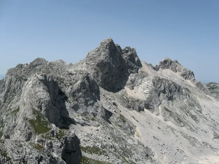
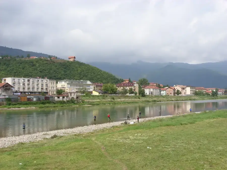
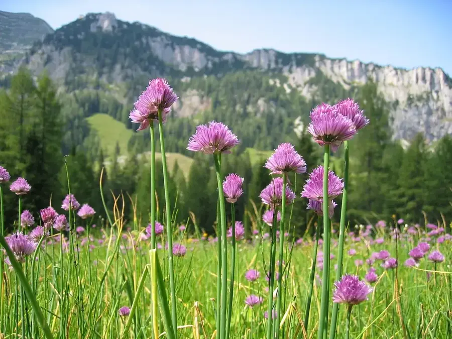
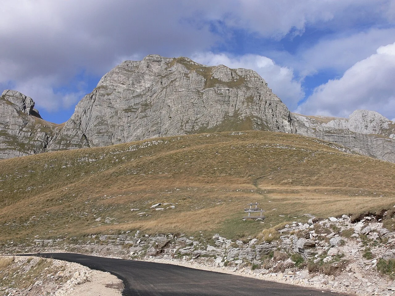
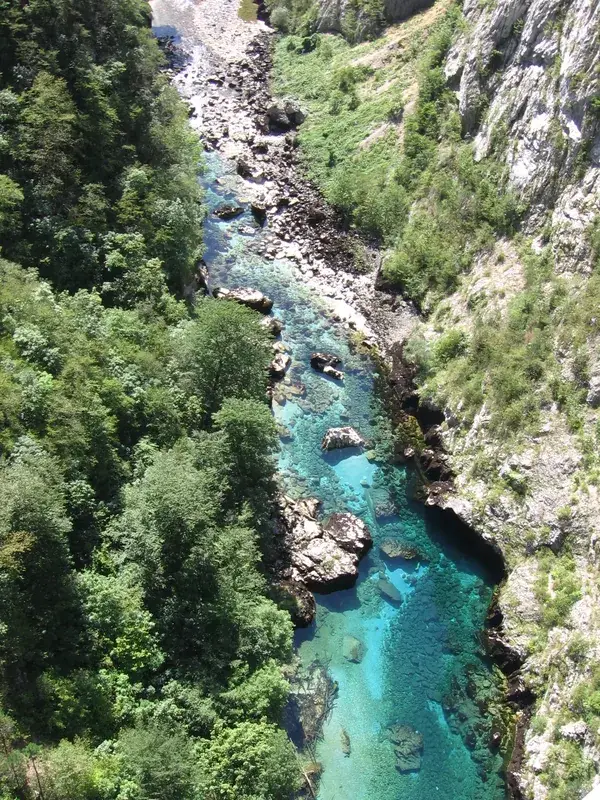
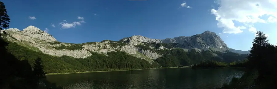
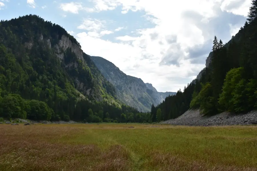
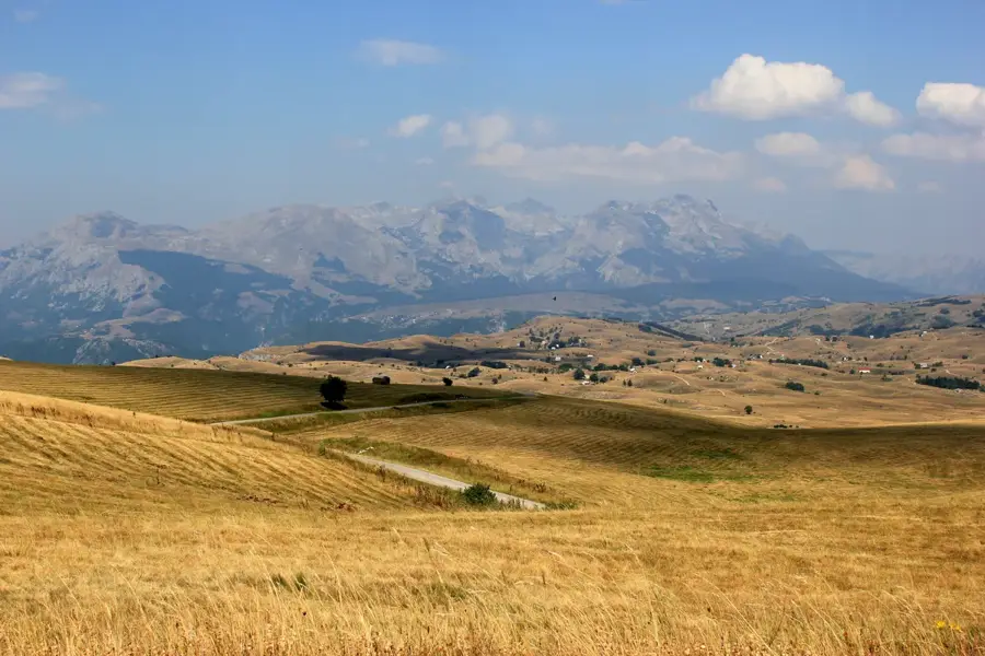
The Planinica Plateau is a high-altitude alpine plain in the Durmitor massif of northern Montenegro, reaching a maximum elevation of approximately 2330 meters. This region is renowned for its rugged beauty and commanding views over the deep canyons of the Tara and Draga rivers. Geologically, the plateau has been shaped by intensive glacial erosion and karstification, resulting in numerous sinkholes and sharp rock formations. Historically, the area was utilized for alpine transhumance, with the high plateaus providing essential grazing grounds for livestock during the summer months. Due to its exposed position, it experiences a harsh mountain climate with short summers and long winters, during which the plateau is often buried under meters of snow. The flora consists mainly of alpine grasses and endemic plant species adapted to the extreme conditions. Hikers consider the plateau one of the finest viewpoints in the national park, offering a vista that encompasses nearly all 48 peaks of the Durmitor range. Its relative isolation has ensured that the natural environment remains largely undisturbed and pristine.
- Location: Montenegro
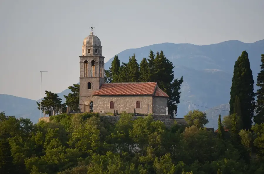
- Top sights: Javorovača · Borova glava
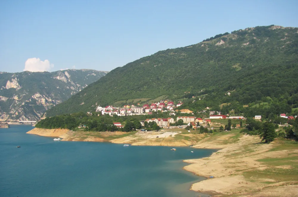
- Nearby: Durmitor National Park (8 km)
Best time to visit & climate
The most pleasant time to visit is Jun–Aug.
| Jan | Feb | Mar | Apr | May | Jun | Jul | Aug | Sep | Oct | Nov | Dec | |
|---|---|---|---|---|---|---|---|---|---|---|---|---|
| Avg °C | -2 | -1 | 2 | 7 | 11 | 15 | 18 | 18 | 13 | 9 | 4 | -1 |
| Rain mm | 134 | 131 | 121 | 93 | 89 | 83 | 52 | 49 | 104 | 124 | 162 | 152 |
📋 Practical info
Geography
Facts
- The plateau reaches a peak elevation of 2330 meters above sea level.
- It provides a direct view into the Tara River Canyon, which is 1300 meters deep.
- The region is part of the protected Durmitor National Park area.
- The geology is dominated by limestone with significant karst phenomena.
- In winter, snow depths on the plateau can reach between 3 and 5 meters.
- The area has served as a traditional summer grazing ground for centuries.
Explore nearby
Notable places around
Route planner — Car & Motorhome
Where do you start? We build the route here, with stops and country notes along the way.
© OpenStreetMap contributors · OpenRouteService
Sights in the town Planinica Plateau (2)
Sights nearby
Frequently asked questions
How do you reach the Planinica plateau?
Why is this place famous among photographers?
How long does the hike take?
Is there shade up there?
What flora is typical for the plateau?
Planinica Plateau: where is it located?
Planinica Plateau: what is there to see?
Planinica Plateau: when is the best time to visit?
Planinica Plateau: why is it worth visiting?

Nearby cities


History & landmarks

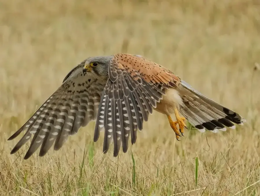
Nature


More places