Plizio Visual Lab
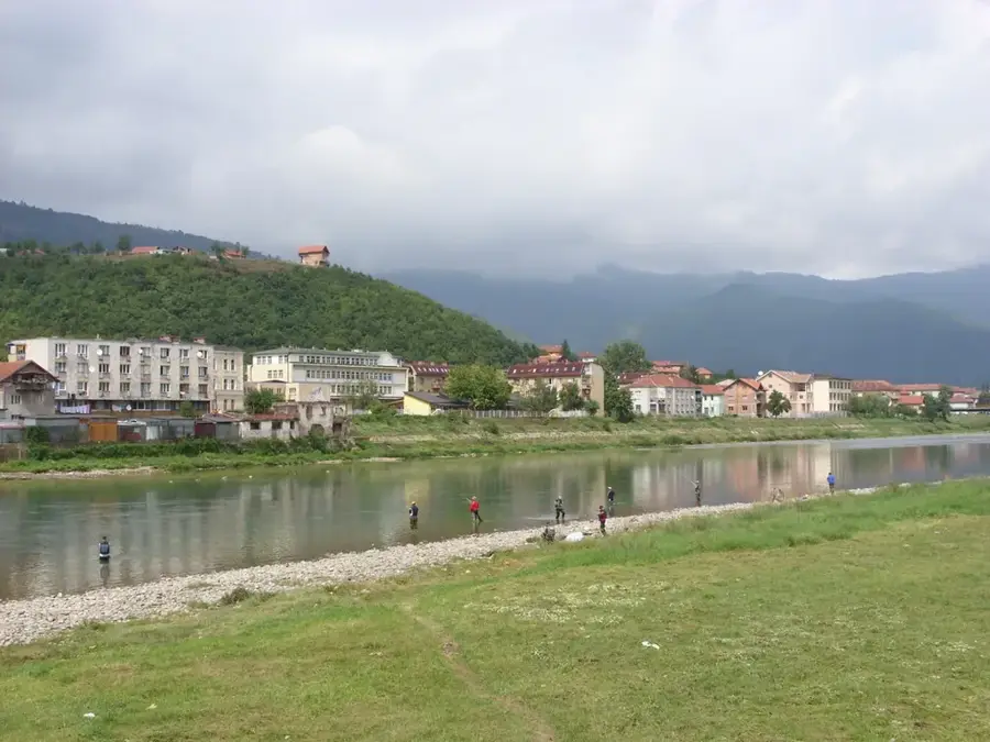
Piva River

Weather…
Water temperature…
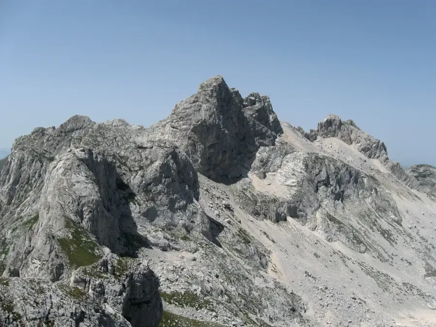
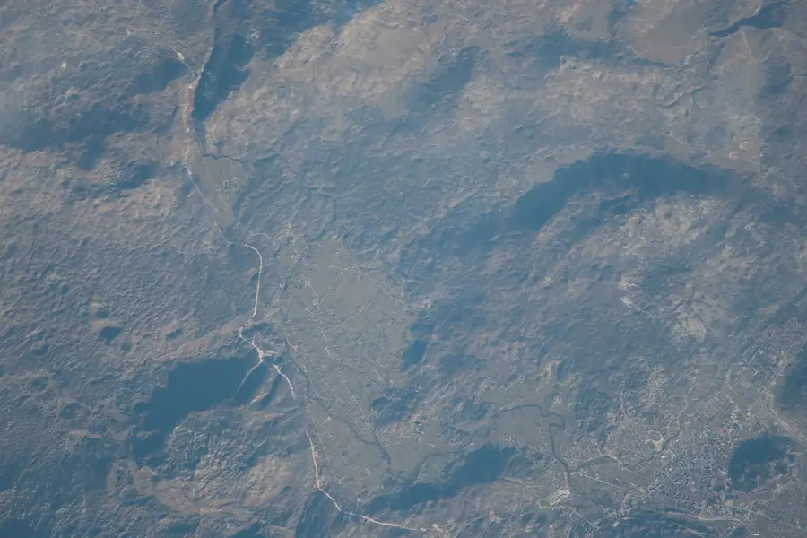
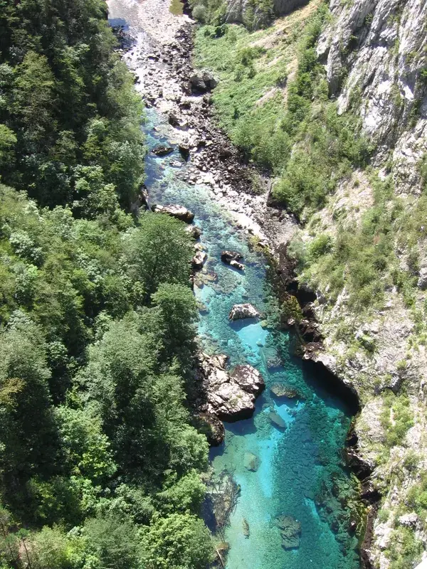
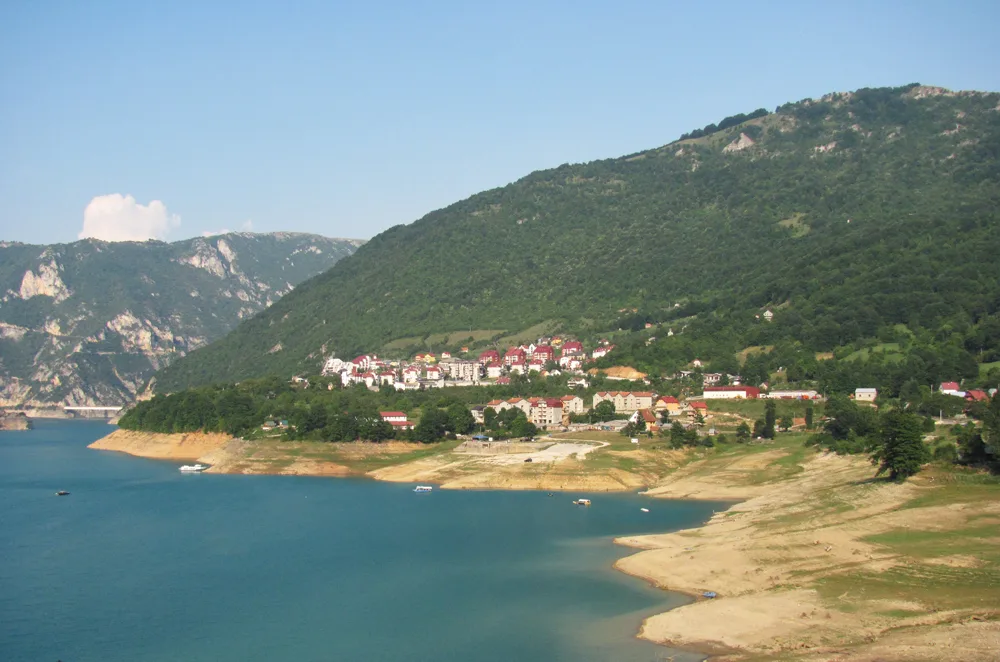
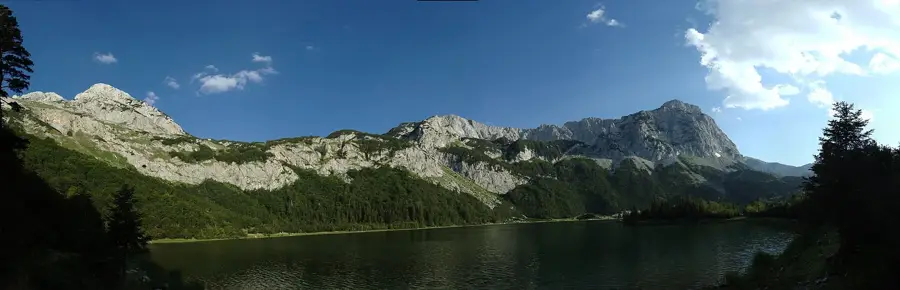
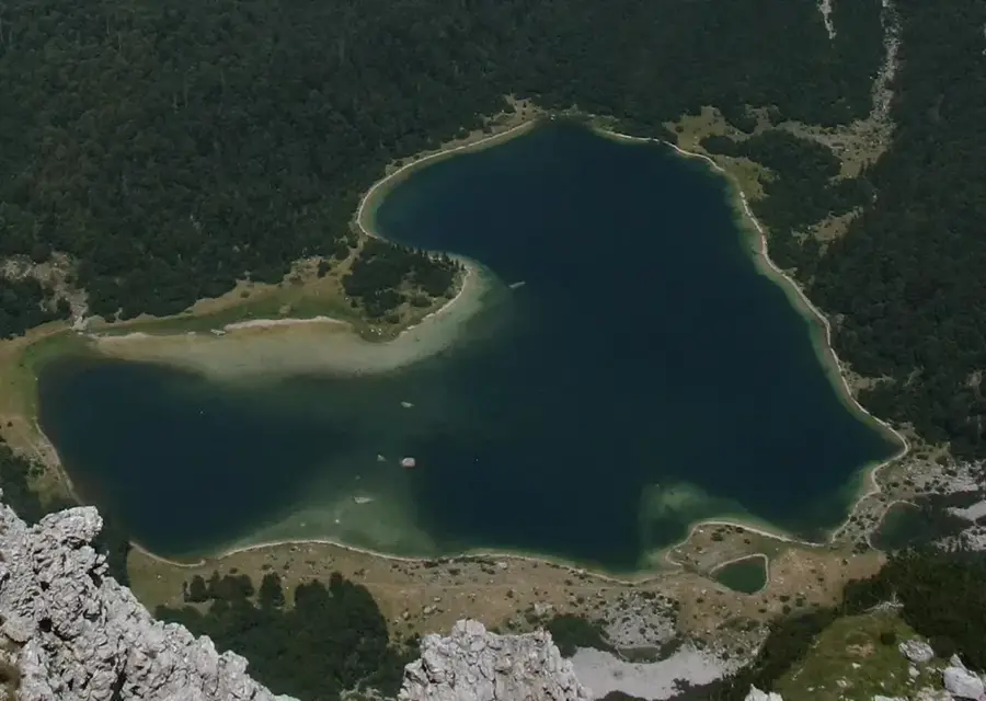
The Piva River is one of the most significant watercourses in northern Montenegro, originating at the foot of the Sinjajevina mountain range. The river is famous for its spectacular canyon, which reaches depths of up to 1,200 meters in some sections and stretches for about 33 kilometers. A turning point in the river's geography was the construction of the Mratinje Dam in 1975, which stands 220 meters high as one of the tallest arch dams in Europe. This project created Lake Piva, the country's largest artificial reservoir, which submerged the original settlement of Plužine. The Piva's water is noted for its distinctive turquoise color and exceptional purity, making it a crucial source of drinking water. Near the border with Bosnia and Herzegovina, the Piva joins the Tara River to form the Drina, one of the most powerful river systems in the Balkan Peninsula.
- Location: Montenegro
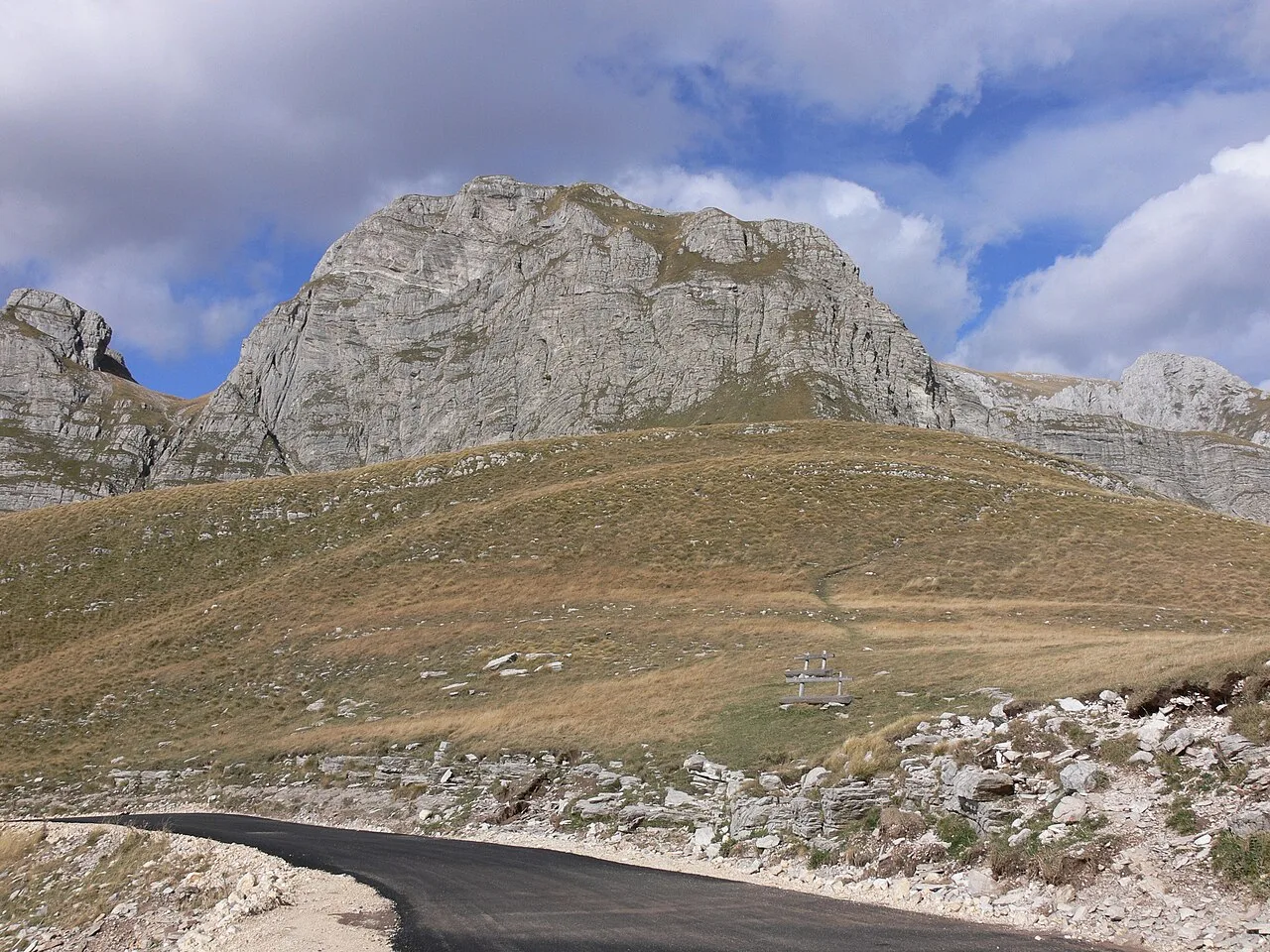
- Top sights: Previja · Osojnica · Kobilja glava
- Nearby: Plužine Tourism Center (5 km)
Best time to visit & climate
The most pleasant time to visit is Jun–Aug.
| Jan | Feb | Mar | Apr | May | Jun | Jul | Aug | Sep | Oct | Nov | Dec | |
|---|---|---|---|---|---|---|---|---|---|---|---|---|
| Avg °C | -2 | -1 | 2 | 7 | 11 | 15 | 18 | 18 | 13 | 9 | 4 | -1 |
| Rain mm | 134 | 131 | 121 | 93 | 89 | 83 | 52 | 49 | 104 | 124 | 162 | 152 |
📋 Practical info
Geography
Facts
- The Piva River has a total length of 34 kilometers within Montenegro.
- The Mratinje Dam was constructed between 1971 and 1975.
- Lake Piva covers a surface area of approximately 12.5 square kilometers.
- Water temperature rarely exceeds 10 degrees Celsius even during summer.
- The Piva Canyon is the second deepest in the country after the Tara Canyon.
- The Piva Monastery was moved stone by stone to higher ground before flooding.
Explore nearby
Notable places around
Route planner — Car & Motorhome
Where do you start? We build the route here, with stops and country notes along the way.
© OpenStreetMap contributors · OpenRouteService
Sights in the town Piva River (3)
Kobilja glava
Kobilja glava is a mountain in Montenegro, a peak in the mountain range.
Sights nearby
Frequently asked questions
Why does the Piva water have such an intense color?
Can you go rafting on the Piva?
Is swimming allowed in Lake Piva?
What is the Piva Monastery?
How high is the Piva dam?
Piva River: where is it located?
Piva River: what is there to see?
Piva River: when is the best time to visit?
Piva River: why is it worth visiting?

Nearby cities


History & landmarks

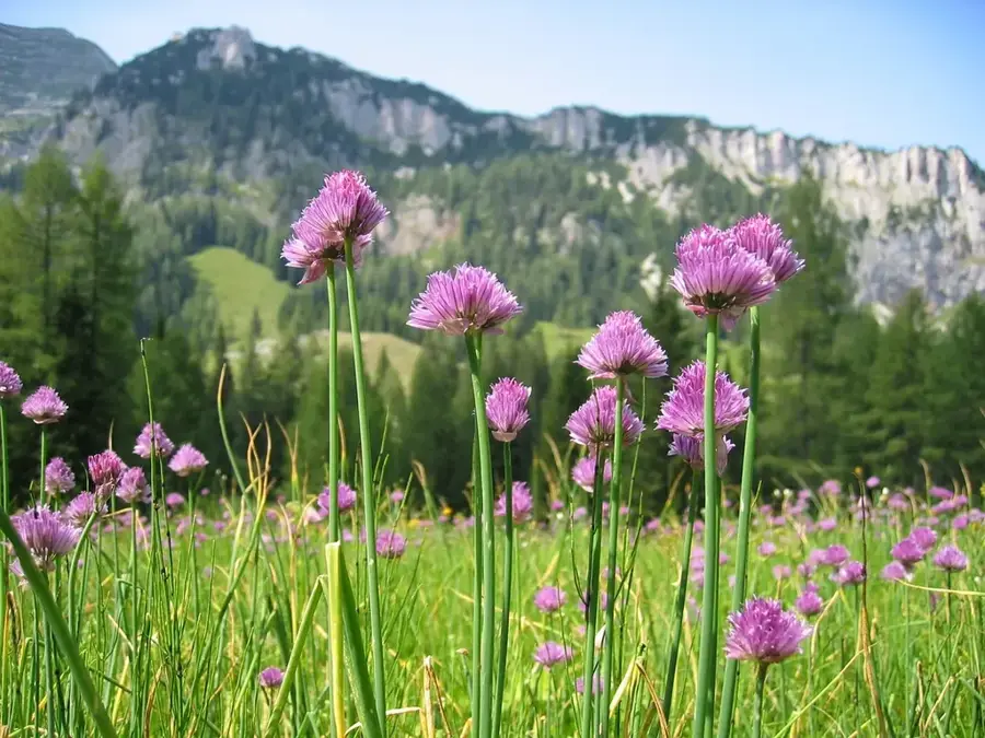
Nature


More places