Plizio Visual Lab
Pusto Polje Plateau
Weather…
Water temperature…
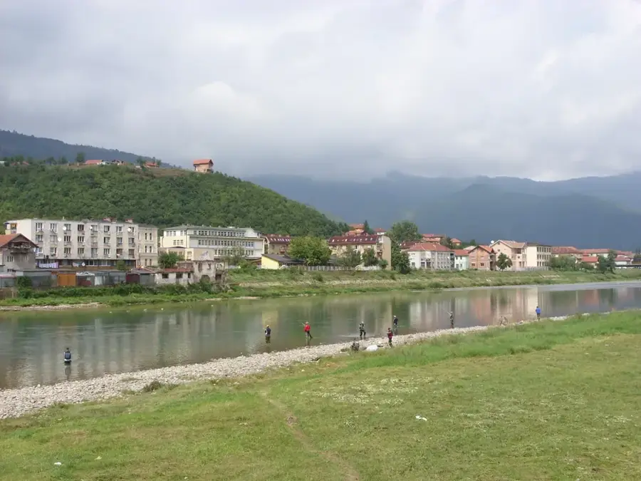
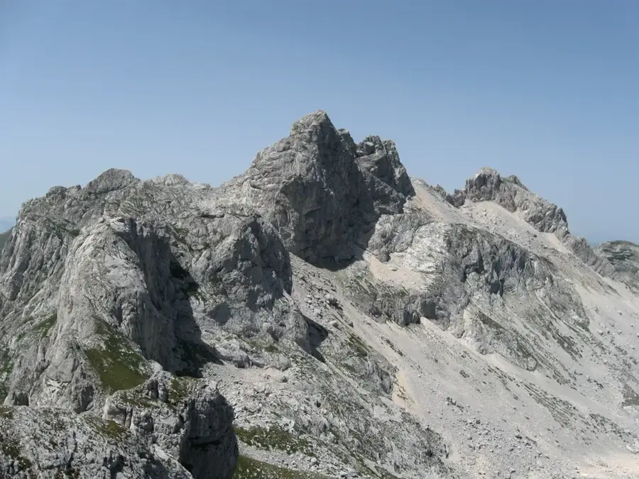
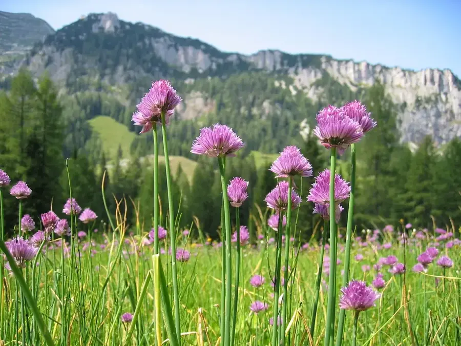
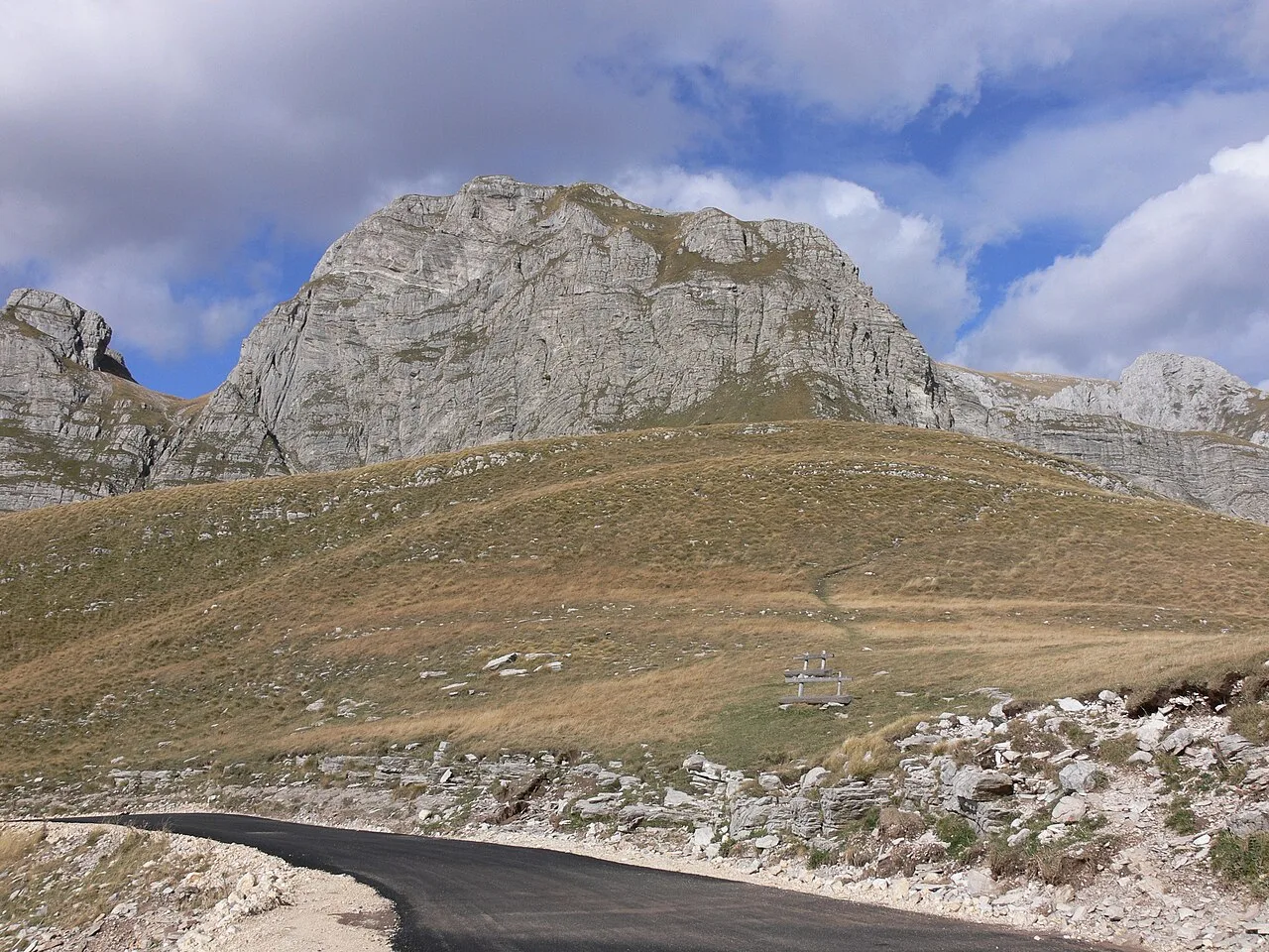
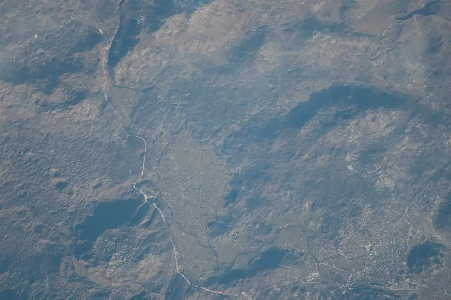
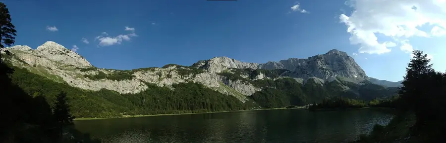
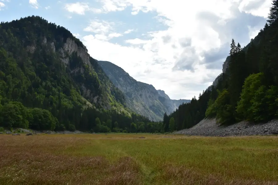
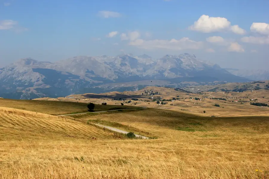
Pusto Polje is an extensive karst plateau in central Montenegro, located northwest of the city of Nikšić. The name translates to 'Desolate Field', reflecting the barren, rocky landscape and the scarcity of surface water typical of karst regions. The plateau extends at an average elevation of about 1,000 meters and is surrounded by the massive mountain ranges of Vojnik and Maglić. Geomorphologically, Pusto Polje is characterized by numerous sinkholes (dolines), cave systems, and underground watercourses that create complex hydrological phenomena during the rainy season. Despite its apparent inhospitability, the plain is used seasonally for livestock grazing, with traditional stone huts dotting the landscape. The region is of great significance for understanding the hydrological cycles within the Montenegrin karst system, as water drains from here into lower-lying poljes.
- Location: Montenegro
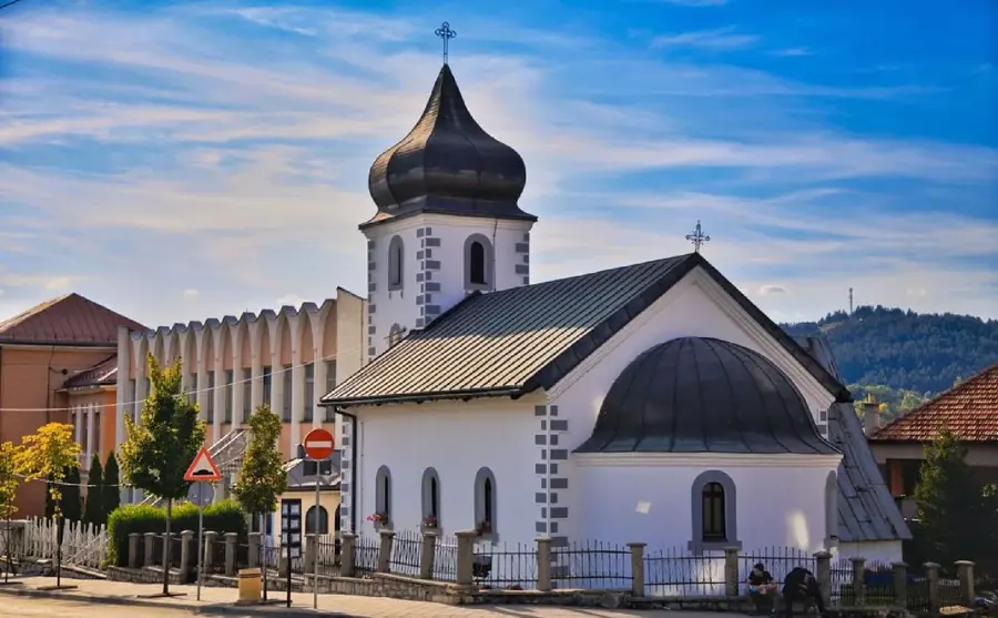
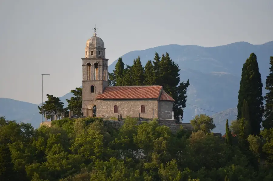
- Top sights: Kokot · Kokošari · Bjelobor
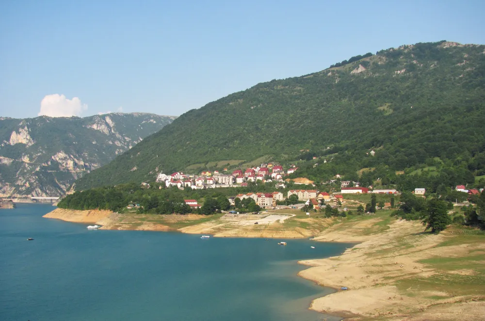
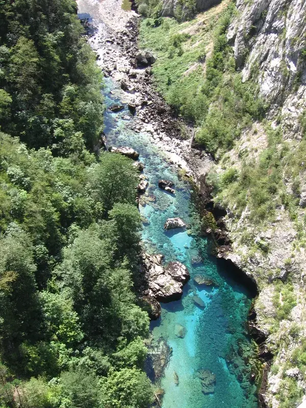
- Nearby: Tara Canyon (7 km)
Best time to visit & climate
The most pleasant time to visit is Jun–Aug.
| Jan | Feb | Mar | Apr | May | Jun | Jul | Aug | Sep | Oct | Nov | Dec | |
|---|---|---|---|---|---|---|---|---|---|---|---|---|
| Avg °C | -2 | -1 | 3 | 7 | 12 | 16 | 18 | 18 | 13 | 9 | 4 | -1 |
| Rain mm | 89 | 87 | 86 | 74 | 86 | 101 | 65 | 55 | 84 | 92 | 108 | 100 |
📋 Practical info
Geography
Facts
- The plateau is one of the driest areas in central Montenegro during summer.
- The limestone layers here reach a thickness of several hundred meters.
- Archaeological finds confirm human habitation since the Iron Age.
- In winter, temperatures on the plateau can drop below -20 degrees Celsius.
- Pusto Polje serves as a catchment area for the Zeta river system.
- Vegetation consists mainly of drought-resistant grasses and shrubs.
Explore nearby
Notable places around
Route planner — Car & Motorhome
Where do you start? We build the route here, with stops and country notes along the way.
© OpenStreetMap contributors · OpenRouteService
Sights in the town Pusto Polje Plateau (3)
Sights nearby
Frequently asked questions
What does the name Pusto Polje mean?
Where is Pusto Polje located?
Is the area suitable for hiking?
Is there water on the plateau?
When should you visit Pusto Polje?
Pusto Polje Plateau: where is it located?
Pusto Polje Plateau: what is there to see?
Pusto Polje Plateau: when is the best time to visit?
Pusto Polje Plateau: why is it worth visiting?

Nearby cities


History & landmarks

Nature


More places