Plizio Visual Lab
Hum Peak
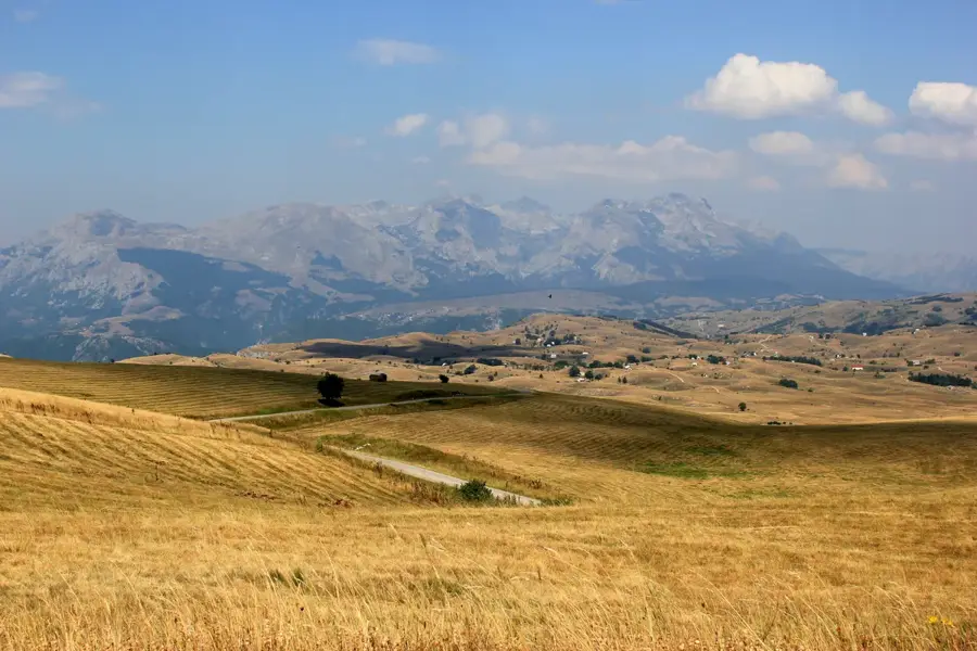
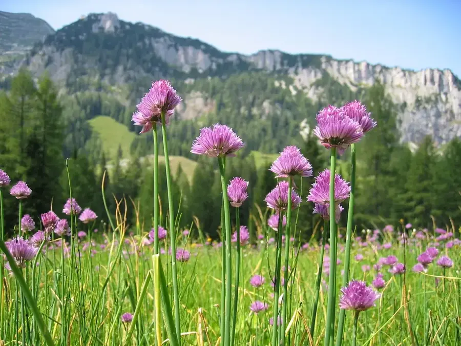
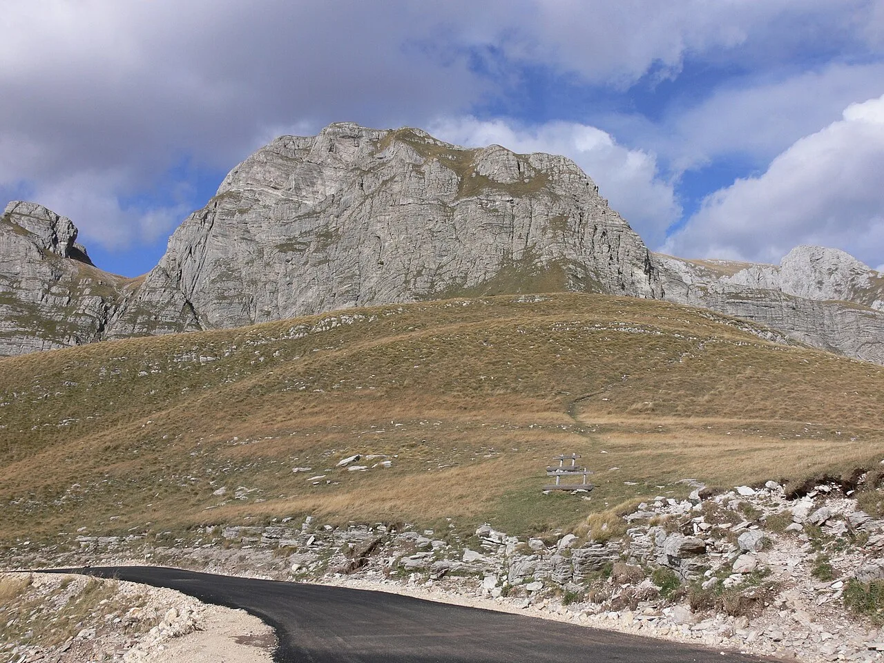
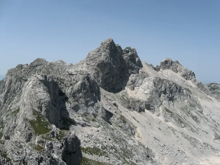
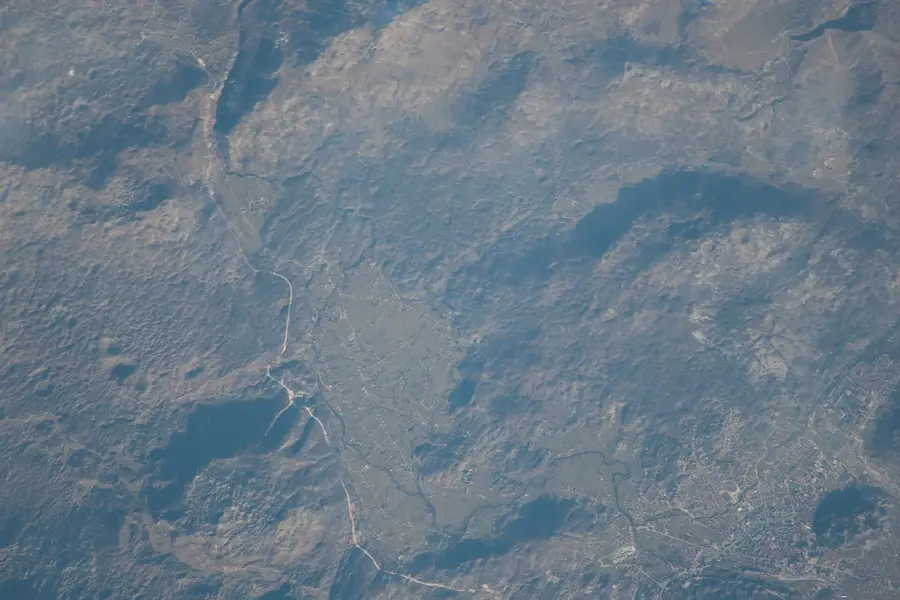
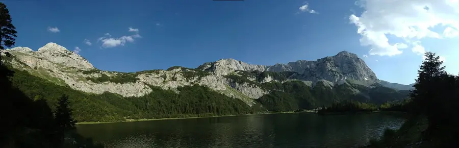
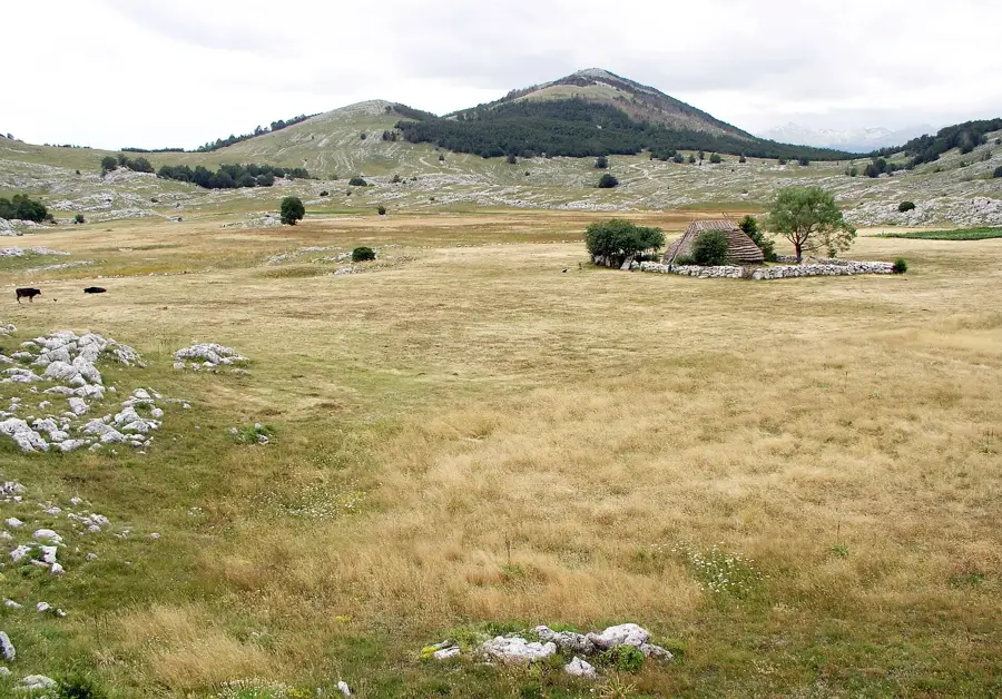
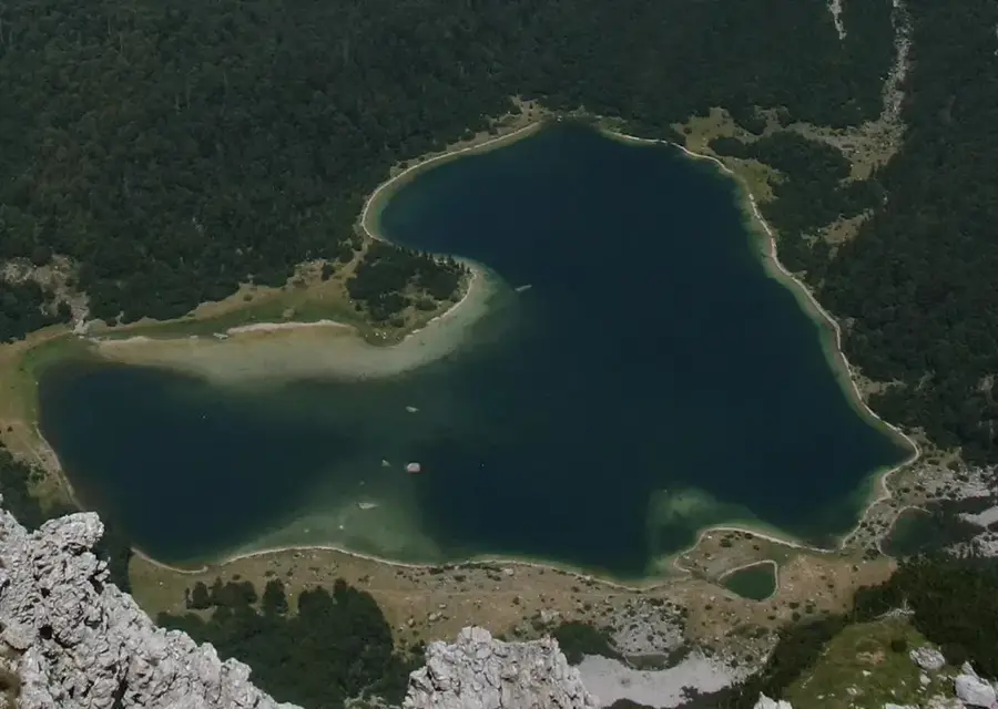
Hum Peak is a significant elevation in the border area between Montenegro and Serbia, embedded in the vast landscape of the Pešter plateau. Standing at 1756 meters, it is one of the highest points of this highland and marks an important geographical landmark in an otherwise rolling region. The surroundings of Hum are characterized by an extreme continental climate known for some of the lowest temperatures ever recorded in the Balkans. Geologically, the peak consists of resistant rock layers that have withstood erosion while the surrounding areas were worn down more flatly. The region is sparsely populated and primarily characterized by extensive pastoralism, with the vast grasslands hosting thousands of sheep in summer. Due to its isolated location, Hum is of great importance for biodiversity, particularly for birds of prey and alpine plant species adapted to extreme cold. Hikers who attempt the climb are rewarded with a cross-border view that reaches as far as the Prokletije massif mountains on clear days. The silence and vastness of the landscape make Hum a place of almost mystical tranquility.
- Location: Montenegro
- Top sights: Previja · Semunica · Osojnica
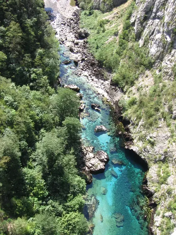
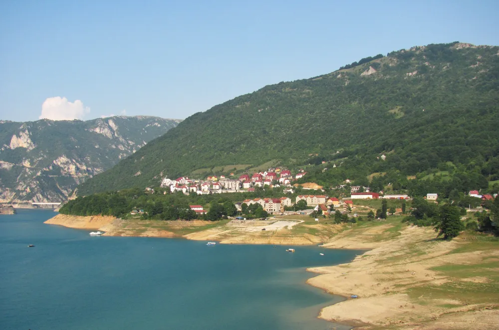
- Nearby: Lake Piva (5 km)
Best time to visit & climate
The most pleasant time to visit is Jun–Aug.
| Jan | Feb | Mar | Apr | May | Jun | Jul | Aug | Sep | Oct | Nov | Dec | |
|---|---|---|---|---|---|---|---|---|---|---|---|---|
| Avg °C | -2 | -1 | 2 | 7 | 11 | 15 | 18 | 18 | 13 | 9 | 4 | -1 |
| Rain mm | 134 | 131 | 121 | 93 | 89 | 83 | 52 | 49 | 104 | 124 | 162 | 152 |
📋 Practical info
Geography
Facts
- Highest point of the Pešter plateau (1756 m).
- Located directly on the Montenegro-Serbia border.
- The region holds temperature records as low as -39 °C.
- Composed of a mixture of limestone and silicate.
- Center for nomadic sheep farming.
- Important nesting site for the griffon vulture.
Explore nearby
Notable places around
Route planner — Car & Motorhome
Where do you start? We build the route here, with stops and country notes along the way.
© OpenStreetMap contributors · OpenRouteService
Sights in the town Hum Peak (4)
Osojnica
Osojnica is a mountain in Montenegro, located in the Hum area. The name indicates a shady position.
Sights nearby
Frequently asked questions
Where is Hum Peak located?
How difficult is the climb?
What does the word 'Hum' mean?
Are there rare plants there?
When is the best time for hiking?
Hum Peak: where is it located?
Hum Peak: what is there to see?
Hum Peak: when is the best time to visit?
Hum Peak: why is it worth visiting?

Nearby cities


History & landmarks

Nature


More places