Plizio Visual Lab
Durmitor Saddle
Weather…
Water temperature…
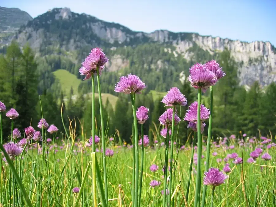
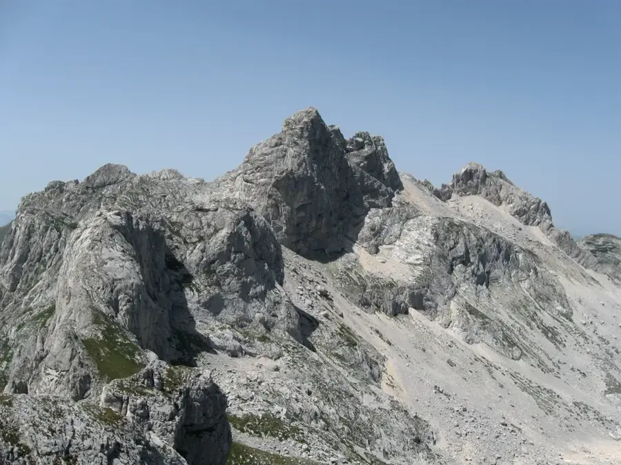
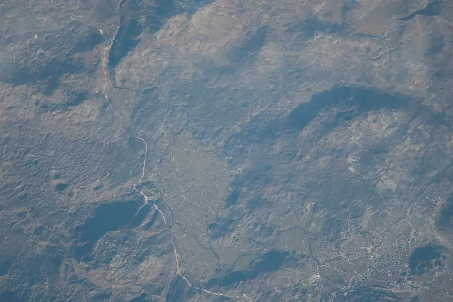
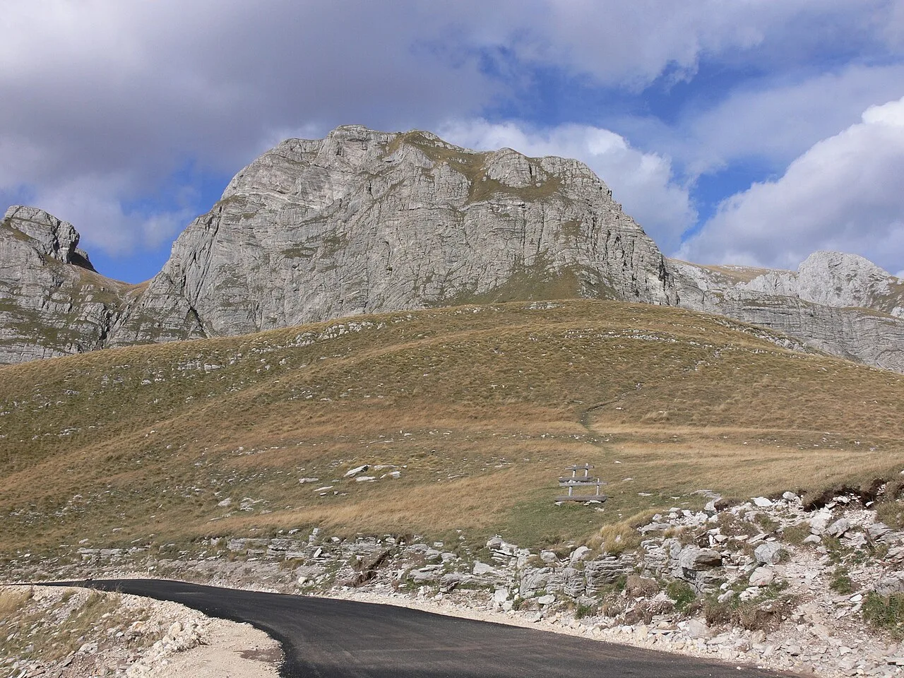
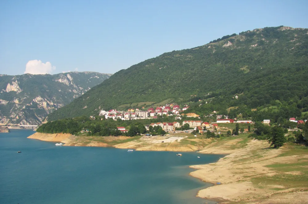
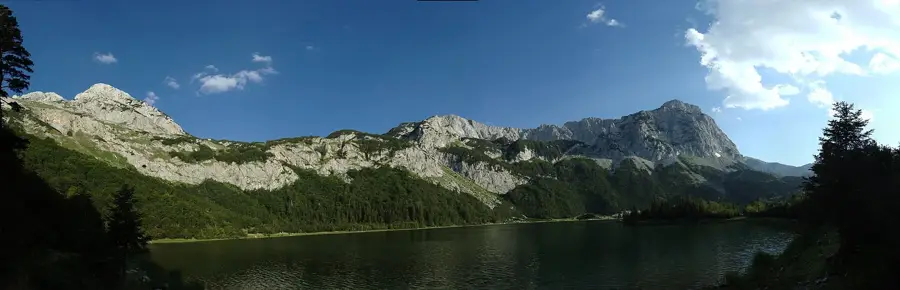
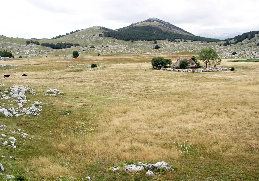
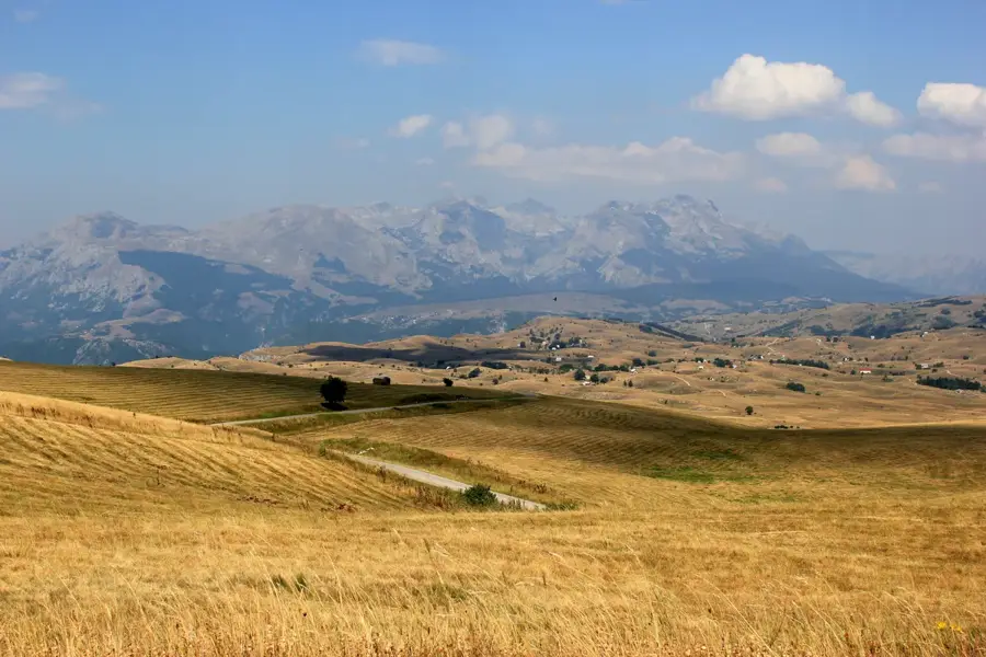
The Durmitor Saddle, locally known as Sedlo, is the highest paved mountain pass in Montenegro, reaching an elevation of 1907 meters above sea level. It is situated within the Durmitor National Park, which was designated a UNESCO World Heritage site in 1980. The pass connects the towns of Žabljak and Plužine, forming a spectacular segment of the 85-kilometer-long Durmitor Ring panoramic road. Geologically, the area is characterized by dramatic limestone formations and glacial landscapes carved during the Pleistocene epoch. From the summit of the pass, visitors can observe the striking peaks of Prutaš and Stožina, which define the rugged skyline of the region. Historically, this route was vital for traditional pastoralism, allowing shepherds to move livestock to high-altitude summer pastures. Today, Sedlo serves as a primary trailhead for hikers attempting to summit Bobotov Kuk, the highest peak in the Durmitor massif. Due to its high altitude, the pass experiences severe alpine weather, and the road is typically closed to vehicle traffic from late autumn until May due to heavy snow accumulation.
- Location: Montenegro
- Nearby: Durmitor National Park (5 km)
Best time to visit & climate
The most pleasant time to visit is Jun–Aug.
| Jan | Feb | Mar | Apr | May | Jun | Jul | Aug | Sep | Oct | Nov | Dec | |
|---|---|---|---|---|---|---|---|---|---|---|---|---|
| Avg °C | -2 | -1 | 2 | 7 | 11 | 15 | 18 | 18 | 13 | 9 | 4 | -1 |
| Rain mm | 134 | 131 | 121 | 93 | 89 | 83 | 52 | 49 | 104 | 124 | 162 | 152 |
📋 Practical info
Geography
Facts
- The pass reaches a maximum elevation of 1907 meters above sea level.
- It is located inside Durmitor National Park, a UNESCO site since 1980.
- The road is a key part of the 85-kilometer Durmitor Ring tourist route.
- The 1905-meter high Stožina peak is a prominent landmark visible from the pass.
- Sedlo is the main starting point for climbing the 2523-meter Bobotov Kuk.
- Heavy snowfall typically keeps the pass closed from November until May.
Explore nearby
Notable places around
Route planner — Car & Motorhome
Where do you start? We build the route here, with stops and country notes along the way.
© OpenStreetMap contributors · OpenRouteService
Sights nearby
Frequently asked questions
How high is the Durmitor Saddle?
Is the road over the Sedlo Pass dangerous?
When is the pass open in winter?
Are there parking spaces directly at the saddle?
Do hiking trails start from here?
Durmitor Saddle: where is it located?
Durmitor Saddle: when is the best time to visit?
Durmitor Saddle: why is it worth visiting?

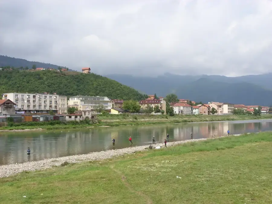
Nearby cities


History & landmarks

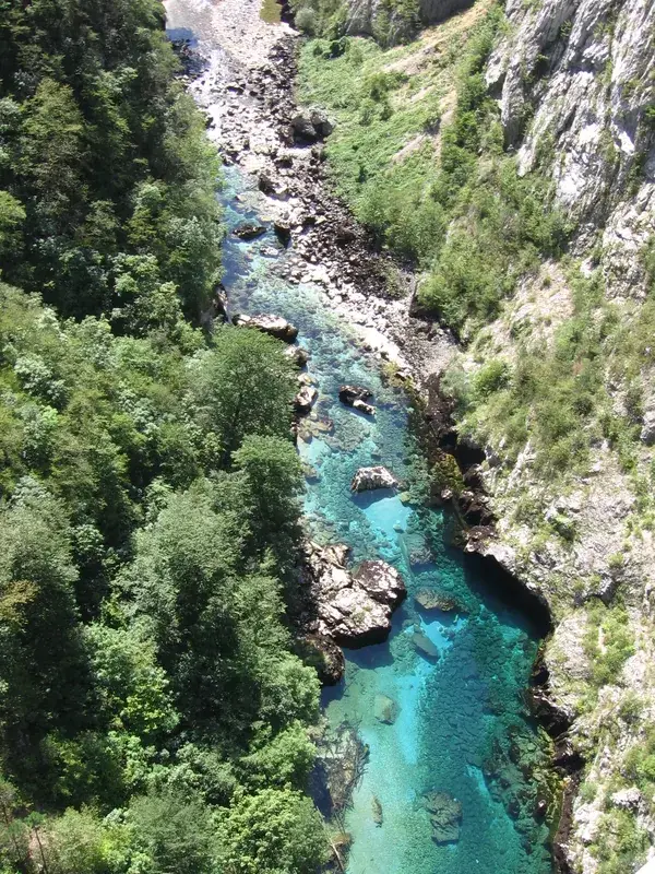
Nature


More places