Plizio Visual Lab
Govedji Vrh
Weather…
Water temperature…
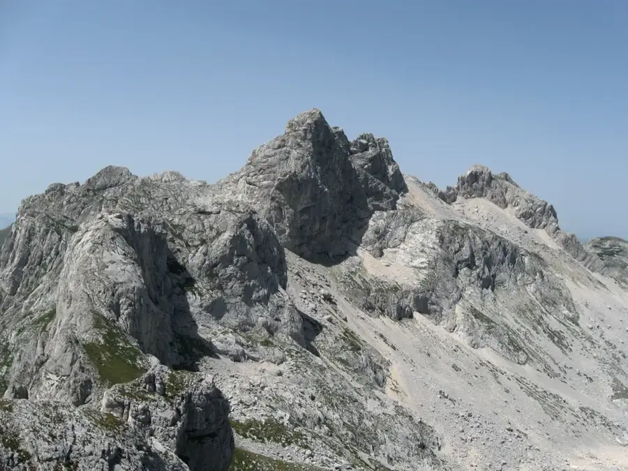
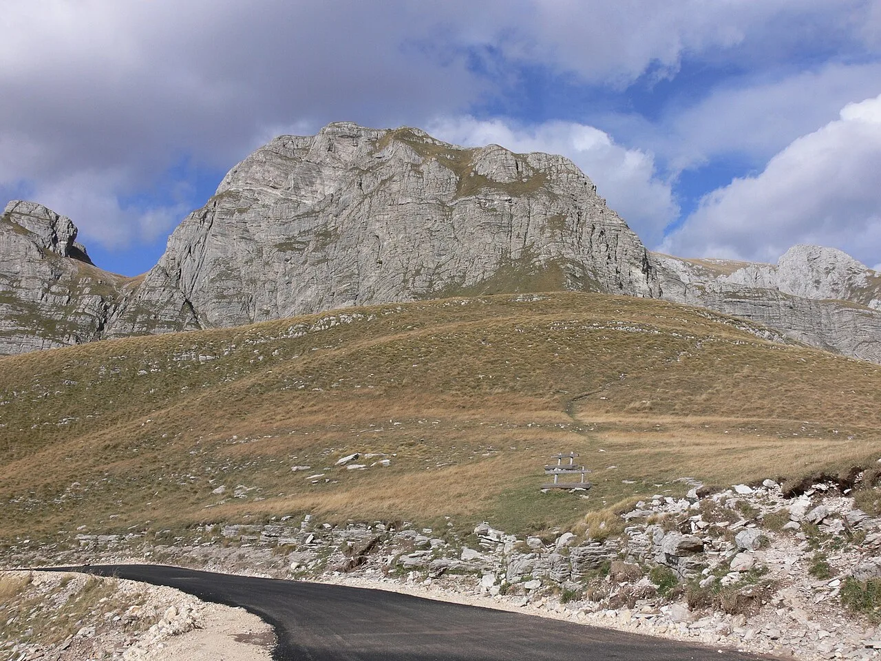
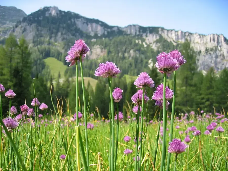
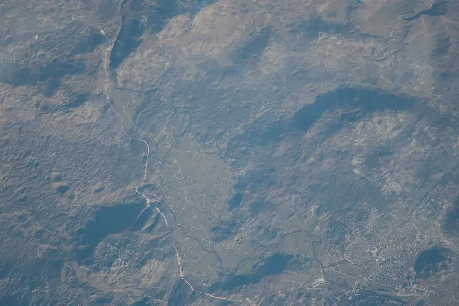
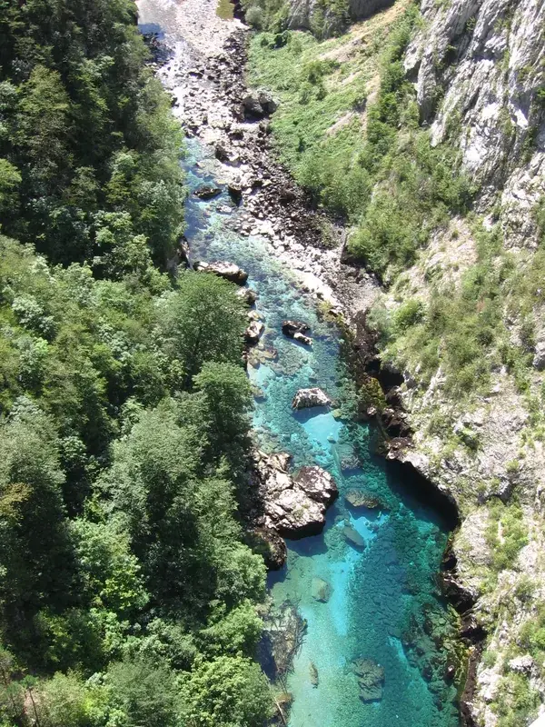
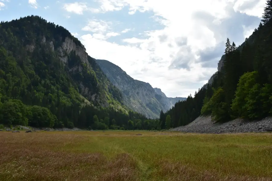
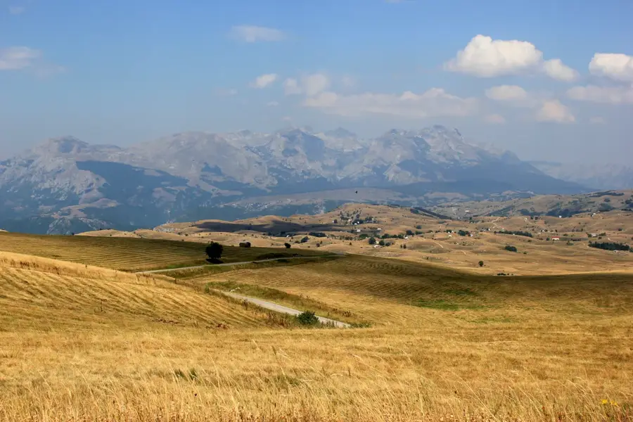
Govedji Vrh is a prominent peak located within the Bjelasica mountain range in northeastern Montenegro, reaching an elevation of approximately 2,000 meters above sea level. Unlike many other mountain massifs in the country that are primarily composed of limestone and exhibit rugged karst topography, Bjelasica is of volcanic origin, which results in its characteristic smooth, rounded peaks and fertile green slopes. This geological foundation allows for a rich variety of vegetation and numerous water springs, making the area surrounding Govedji Vrh ecologically diverse and significant for regional biodiversity. The peak provides sweeping panoramic views of the adjacent Biogradska Gora National Park, one of the few remaining primary forests in Europe, and the nearby Tara River Canyon. Historically, these highlands have served as vital summer pastures for local pastoralists, who maintain a traditional lifestyle in seasonal mountain settlements known as katuni. Today, Govedji Vrh is a popular destination for hikers and nature enthusiasts seeking to explore the unique glacial landscapes and serene environment of the Montenegrin highlands.
- Location: Montenegro
- Top sights: Orujak · Ćiperovača · Runjevača
- Nearby: Durmitor National Park (9 km)
Best time to visit & climate
The most pleasant time to visit is Jun–Aug.
| Jan | Feb | Mar | Apr | May | Jun | Jul | Aug | Sep | Oct | Nov | Dec | |
|---|---|---|---|---|---|---|---|---|---|---|---|---|
| Avg °C | -2 | -1 | 2 | 7 | 11 | 15 | 18 | 18 | 13 | 9 | 4 | -1 |
| Rain mm | 134 | 131 | 121 | 93 | 89 | 83 | 52 | 49 | 104 | 124 | 162 | 152 |
📋 Practical info
Geography
Facts
- The Bjelasica range is of volcanic origin, unlike most of Montenegro's karst mountains.
- Govedji Vrh reaches an elevation of approximately 2,000 meters above sea level.
- The area is adjacent to Biogradska Gora National Park, an ancient primary forest.
- Several glacial lakes, known as mountain eyes, are located in the vicinity.
- The region has been used for traditional katuni pastoralism for centuries.
- The Tara River Canyon, Europe's deepest canyon, is located nearby.
Explore nearby
Notable places around
Route planner — Car & Motorhome
Where do you start? We build the route here, with stops and country notes along the way.
© OpenStreetMap contributors · OpenRouteService
Sights in the town Govedji Vrh (3)
Sights nearby
Frequently asked questions
What does Goveđi Vrh mean?
How is the terrain?
Is the trail to the summit marked?
What view do you have?
Are there mountain shelters?
Govedji Vrh: where is it located?
Govedji Vrh: what is there to see?
Govedji Vrh: when is the best time to visit?
Govedji Vrh: why is it worth visiting?

Nearby cities


History & landmarks

Nature


More places