Plizio Visual Lab
Vjeternik Ridge

Weather…
Water temperature…
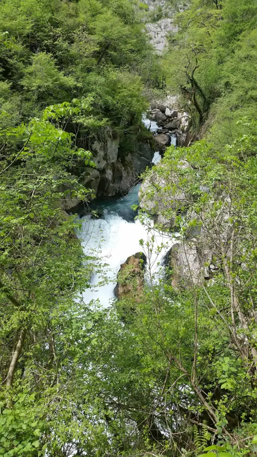
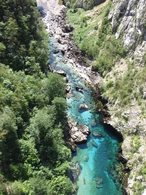
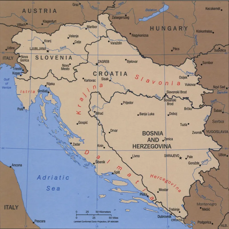
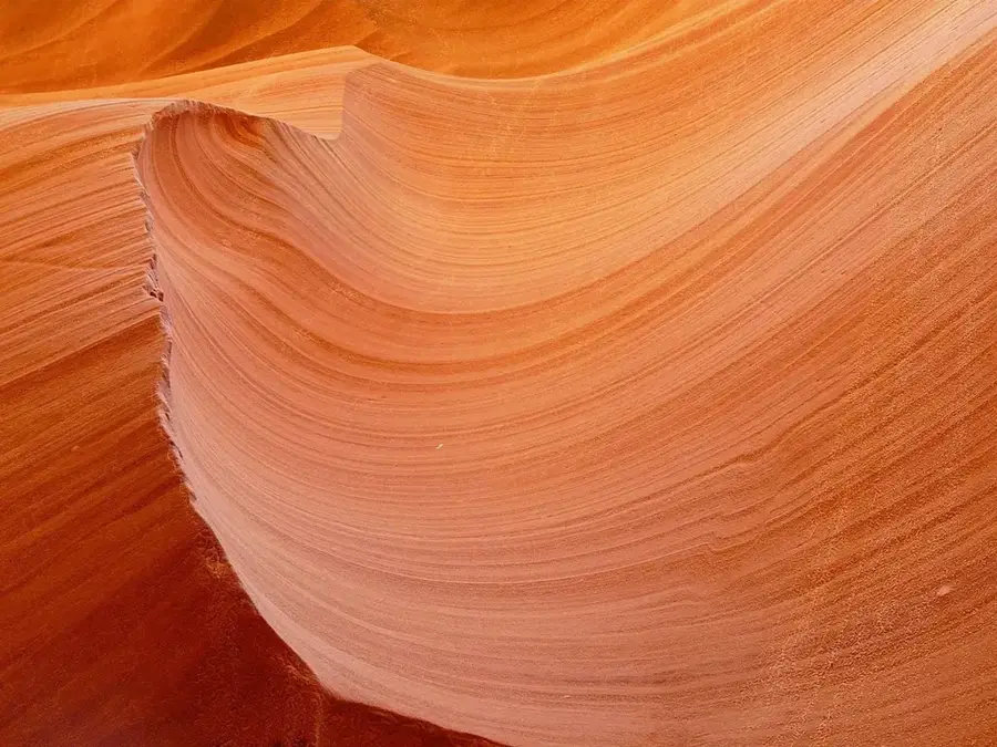
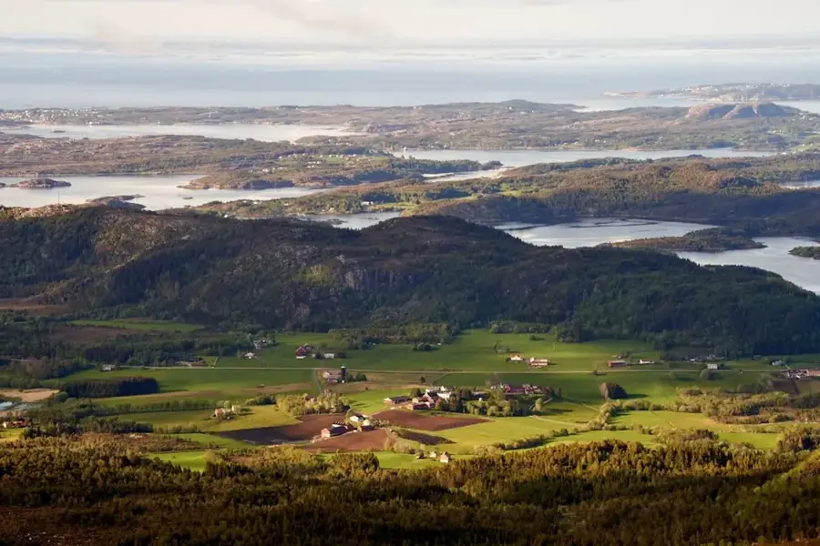
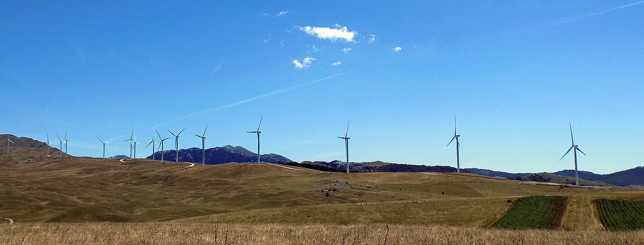
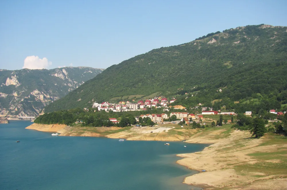
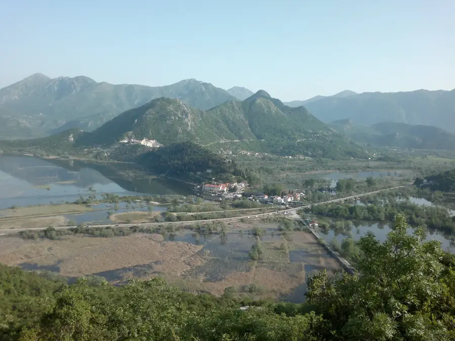
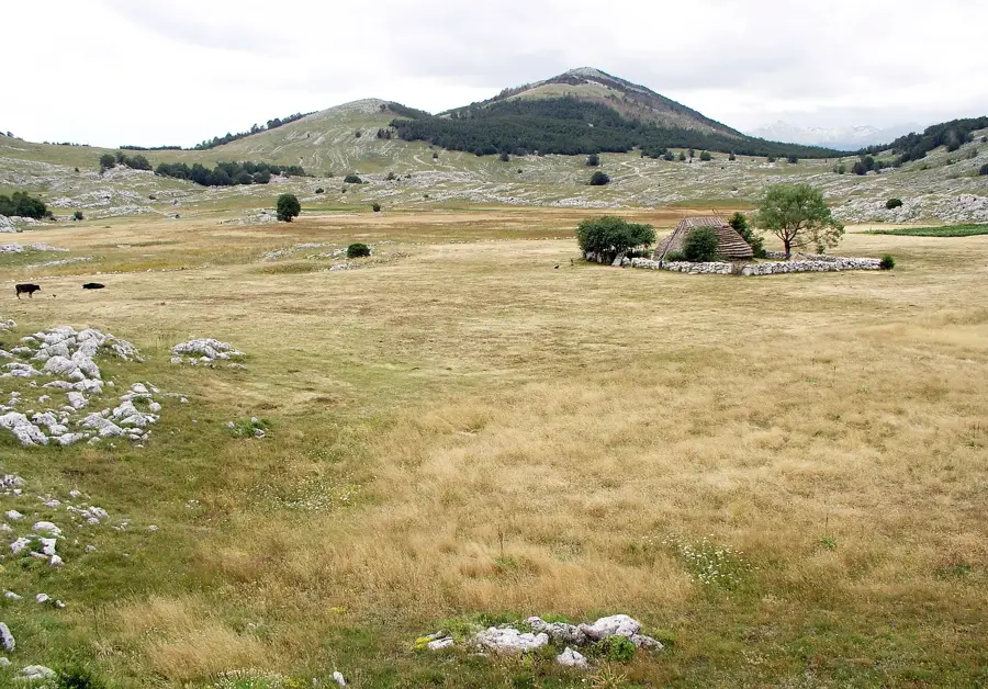
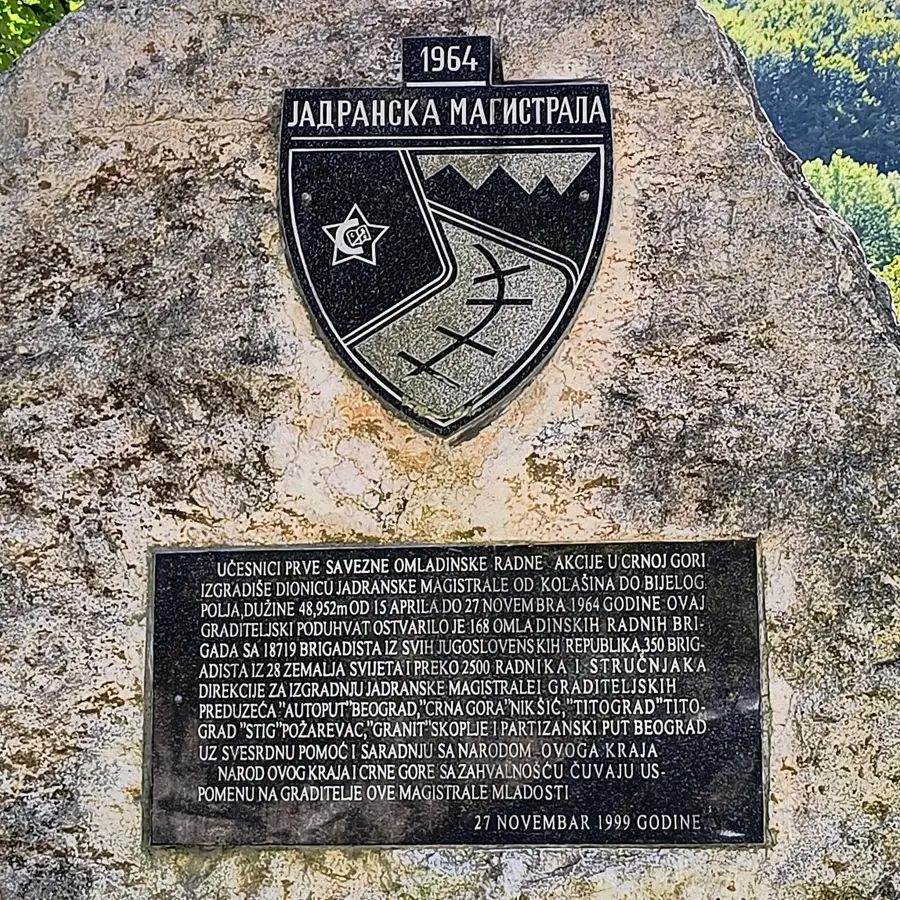
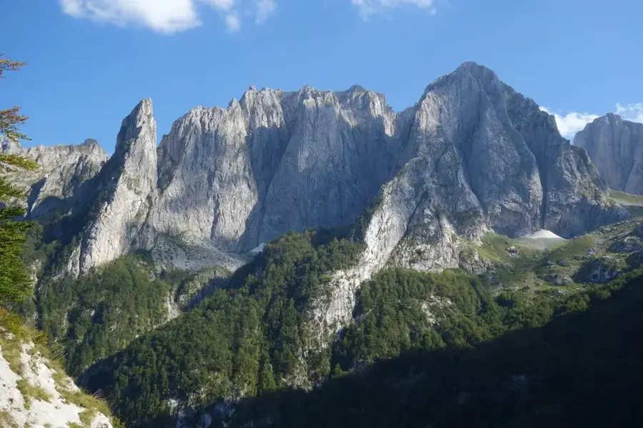
The Vjeternik Ridge is a prominent mountain range in central Montenegro, known for its exposed position and the prevailing strong winds, from which it derives its name. Located north of Podgorica, the ridge forms a natural barrier between the Morača valley and the higher plateaus to the east. The area gained international fame through the construction of the Vjeternik Tunnel, one of the most technically challenging sections of the Bar-Boljare highway, which traverses the massif for over three kilometers. Its geology consists mainly of rugged limestone, forming a harsh and difficult-to-access surface. Historically, Vjeternik was a strategic point along the caravan routes connecting the Adriatic Sea with the Balkan interior. Climatic conditions are extreme, with frequent snowfall in winter and violent gusts that restrict vegetation to low-growing shrubs and grasses. Despite modern infrastructure, the ridge remains a symbol of the untamed nature of the Montenegrin mountains.
- Location: Montenegro
- Nearby: Kolašin (14 km)
Best time to visit & climate
The most pleasant time to visit is Jun–Aug.
| Jan | Feb | Mar | Apr | May | Jun | Jul | Aug | Sep | Oct | Nov | Dec | |
|---|---|---|---|---|---|---|---|---|---|---|---|---|
| Avg °C | -4 | -3 | 1 | 6 | 10 | 14 | 17 | 17 | 12 | 8 | 3 | -2 |
| Rain mm | 114 | 109 | 110 | 87 | 95 | 92 | 64 | 56 | 97 | 114 | 146 | 129 |
📋 Practical info
Geography
Facts
- The name refers to the wind (Vjetar).
- Home to a 3043-meter-long highway tunnel.
- Located on the strategic Podgorica-Kolašin route.
- Highest points reach approximately 1000 meters.
- Composed of karst rock with deep gorges.
- Notorious for sudden weather changes.
Explore nearby
Notable places around
Route planner — Car & Motorhome
Where do you start? We build the route here, with stops and country notes along the way.
© OpenStreetMap contributors · OpenRouteService
Sights in the town Vjeternik Ridge (1)
Sights nearby
Frequently asked questions
Why is the ridge called Vjeternik?
Where is the Vjeternik Ridge located?
Is the ridge suitable for hiking?
What is the terrain like?
Are there historical remains there?
Vjeternik Ridge: where is it located?
Vjeternik Ridge: when is the best time to visit?
Vjeternik Ridge: why is it worth visiting?

Nearby cities


History & landmarks

Nature

More places