Plizio Visual Lab
Sinjajevina Plateau

Weather…
Water temperature…
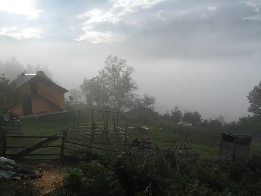
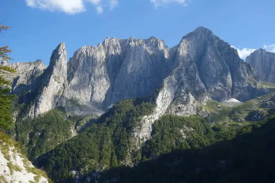
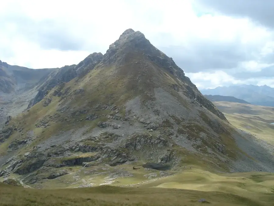
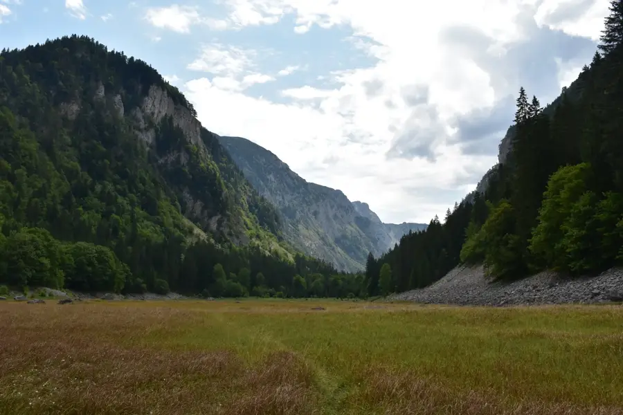
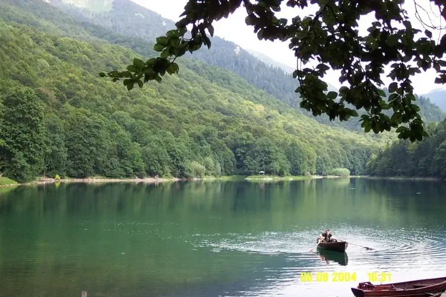
Sinjajevina is the largest mountain plateau in Montenegro and one of the most extensive alpine grazing areas in the Balkans. It stretches for about 40 kilometers between the Tara and Morača rivers in the northern part of the country. The plateau sits at an average elevation of 1,600 to 1,700 meters, characterized by rolling hills and vast grasslands that stand in stark contrast to the nearby jagged peaks of Durmitor. Geologically, it is a limestone plateau riddled with sinkholes and caves, often buried under heavy snow during the winter months. For centuries, Sinjajevina has been a hub for traditional mountain farming, with shepherds moving their herds to high pastures in the summer and living in seasonal huts called "katuns." Recently, the area has gained international attention due to debates over its proposed use as a military training ground, leading to significant environmental protests. The region is exceptionally rich in medicinal herbs and is considered a paradise for mountain bikers and long-distance hikers.
- Location: Montenegro
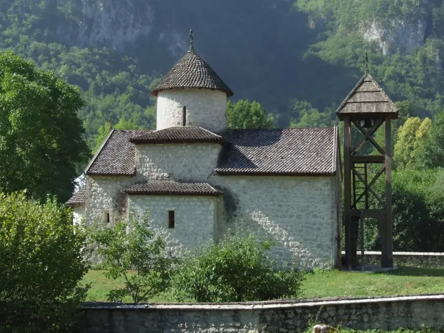
- Top sights: Ploča · Mramorje · Bandovak
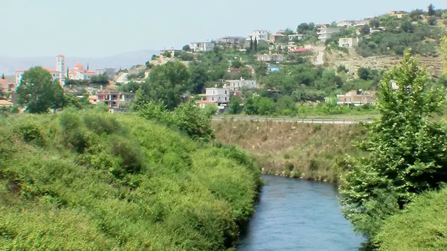
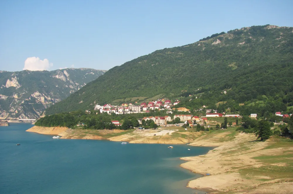
- Nearby: Šavnik Agriculture (19 km)
Best time to visit & climate
The most pleasant time to visit is Jun–Aug.
| Jan | Feb | Mar | Apr | May | Jun | Jul | Aug | Sep | Oct | Nov | Dec | |
|---|---|---|---|---|---|---|---|---|---|---|---|---|
| Avg °C | -4 | -3 | 1 | 6 | 10 | 14 | 17 | 17 | 12 | 8 | 3 | -2 |
| Rain mm | 114 | 109 | 110 | 87 | 95 | 92 | 64 | 56 | 97 | 114 | 146 | 129 |
📋 Practical info
Geography
Facts
- Largest plateau in Montenegro
- Length of about 40 kilometers
- Elevation 1,600-1,700 meters
- Major Balkan grazing area
- Hub for traditional katuns
- Rich in medicinal herbs
Explore nearby
Notable places around
Route planner — Car & Motorhome
Where do you start? We build the route here, with stops and country notes along the way.
© OpenStreetMap contributors · OpenRouteService
Sights in the town Sinjajevina Plateau (3)
Sights nearby
Frequently asked questions
What is the Sinjajevina Highland?
Is Sinjajevina suitable for mountain biking?
Are there accommodations there?
When is the best time to visit the highland?
Is the area accessible with a normal car?
Sinjajevina Plateau: where is it located?
Sinjajevina Plateau: what is there to see?
Sinjajevina Plateau: when is the best time to visit?
Sinjajevina Plateau: why is it worth visiting?

Nearby cities


History & landmarks

Nature
More places