Plizio Visual Lab
Sinjajevina Biodiversity Area

Weather…
Water temperature…
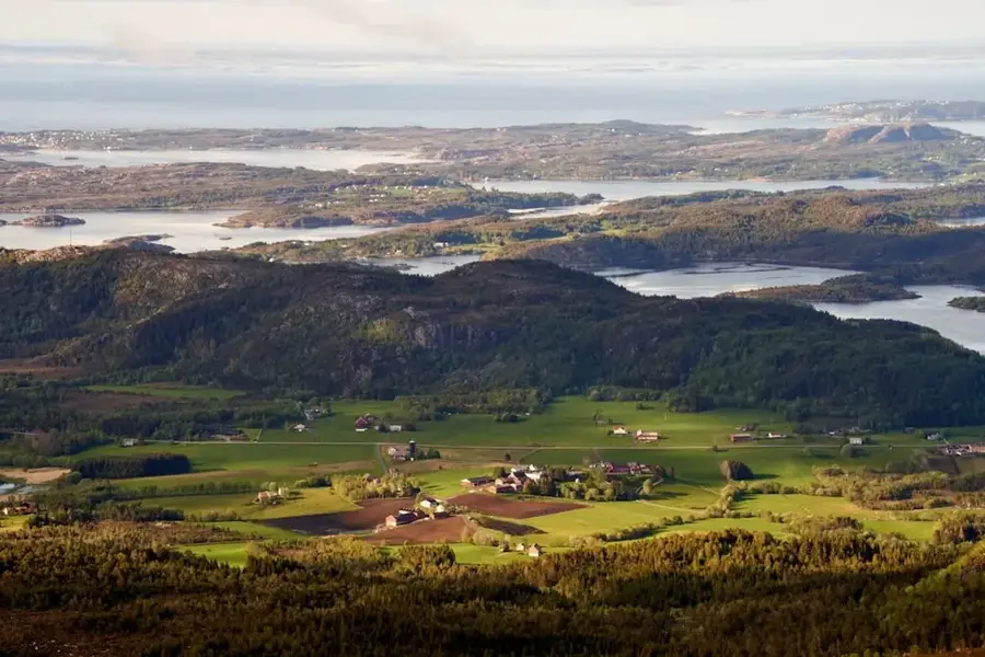
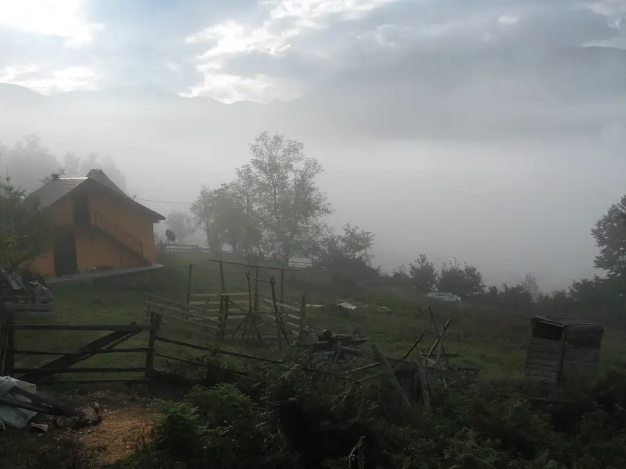
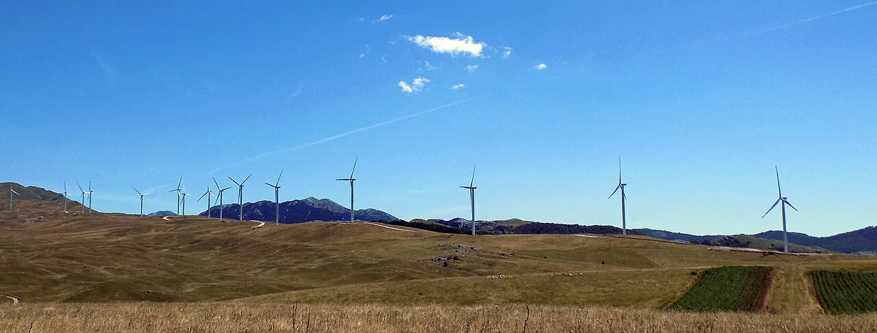
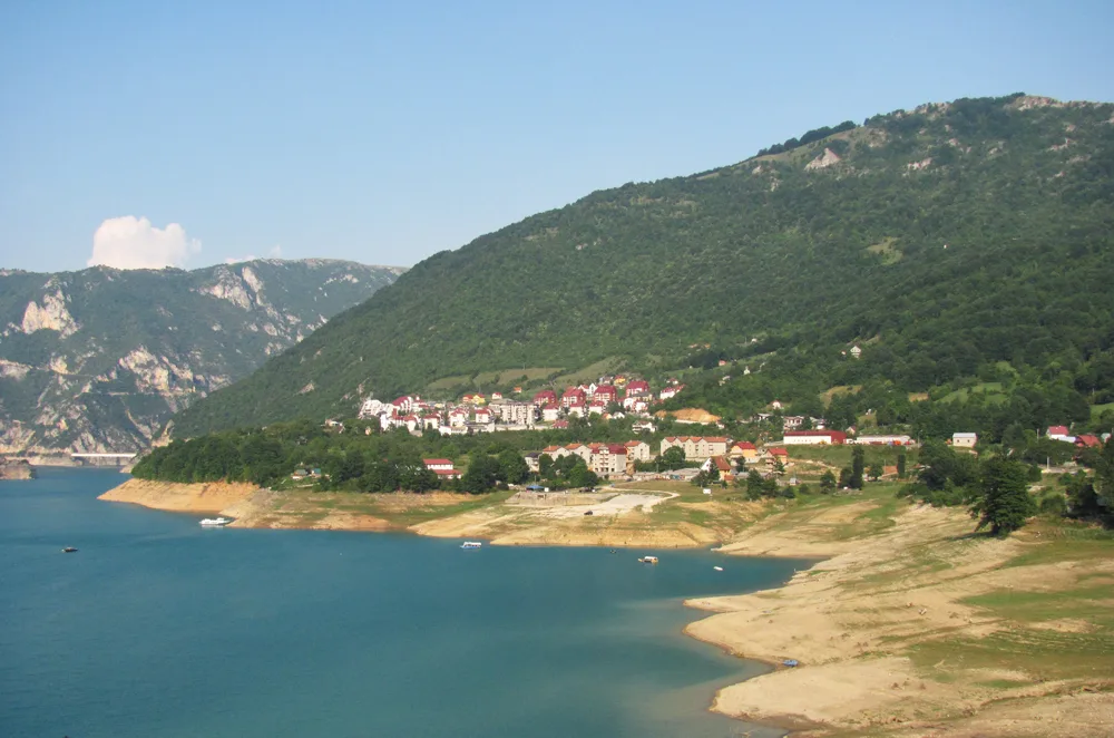
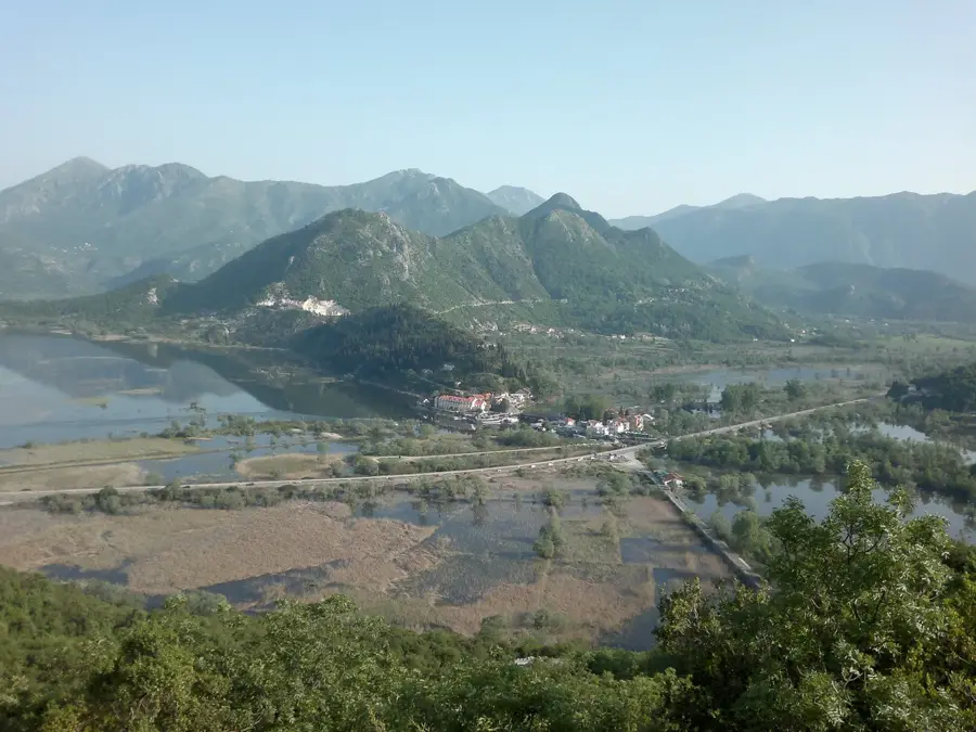
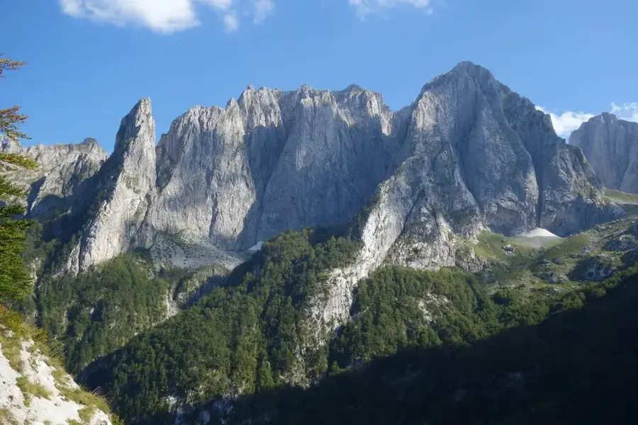
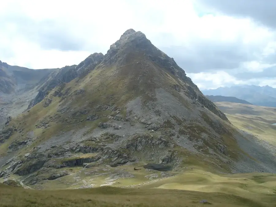
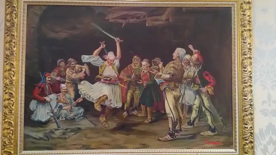
Sinjajevina is the largest mountain plateau in Montenegro and arguably the most extensive highland pasture in the Balkans, spanning roughly 450 square kilometers. At an average elevation of 1,600 meters, this vast karst landscape is bounded by the dramatic Tara River Canyon to the north and the Morača River valley to the south. The biodiversity of Sinjajevina is of international significance, hosting over 1,300 species of flora, including numerous endemics and rare medicinal herbs that thrive in its unique microclimate. For centuries, the plateau has been the epicenter of traditional Montenegrin pastoralism, characterized by seasonal 'katun' settlements where livestock graze during the summer. Its highest peak, Babji Zub, rises to 2277 meters, serving as a prominent landmark in the central Montenegrin highlands. Ongoing efforts seek to establish the area as a protected regional park to safeguard its fragile ecosystem from industrial threats and to preserve the centuries-old cultural heritage of its shepherd communities.
- Location: Montenegro
- Top sights: Kulina · Goveđa glava · Mali Pećarac
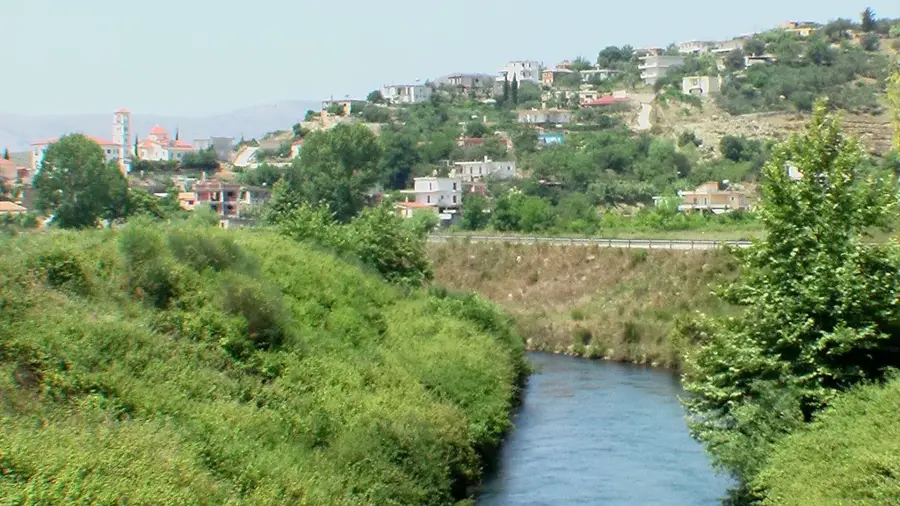
- Nearby: Šavnik Agriculture (19 km)
Best time to visit & climate
The most pleasant time to visit is Jun–Aug.
| Jan | Feb | Mar | Apr | May | Jun | Jul | Aug | Sep | Oct | Nov | Dec | |
|---|---|---|---|---|---|---|---|---|---|---|---|---|
| Avg °C | -4 | -3 | 1 | 6 | 10 | 14 | 17 | 17 | 12 | 8 | 3 | -2 |
| Rain mm | 114 | 109 | 110 | 87 | 95 | 92 | 64 | 56 | 97 | 114 | 146 | 129 |
📋 Practical info
Geography
Facts
- Covers a total area of approximately 450 square kilometers.
- Average elevation of the plateau is about 1,600 meters.
- The highest summit, Babji Zub, stands at 2,277 meters.
- Home to more than 1,300 distinct species of high-altitude flora.
- Ranked as the largest mountain pasture in the Balkan region.
- Traditional 'katun' settlements remain active during summer.
Explore nearby
Notable places around
Route planner — Car & Motorhome
Where do you start? We build the route here, with stops and country notes along the way.
© OpenStreetMap contributors · OpenRouteService
Sights in the town Sinjajevina Biodiversity Area (3)
Sights nearby
Frequently asked questions
What makes the Sinjajevina high plateau ecologically valuable?
What activities are possible in Sinjajevina?
Are there settlements there?
What is the terrain like?
Do you need a guide for tours?
Sinjajevina Biodiversity Area: where is it located?
Sinjajevina Biodiversity Area: what is there to see?
Sinjajevina Biodiversity Area: when is the best time to visit?
Sinjajevina Biodiversity Area: why is it worth visiting?

Nearby cities


History & landmarks

Nature

More places