Plizio Visual Lab
Kapetanovo Lake
Weather…
Water temperature…
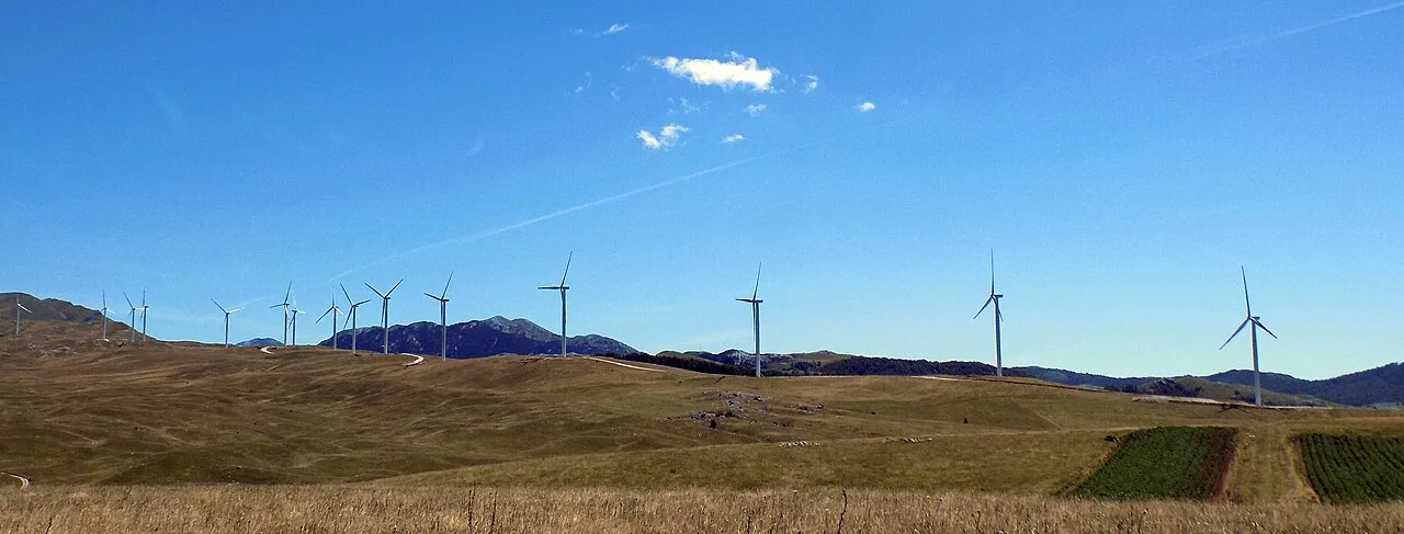
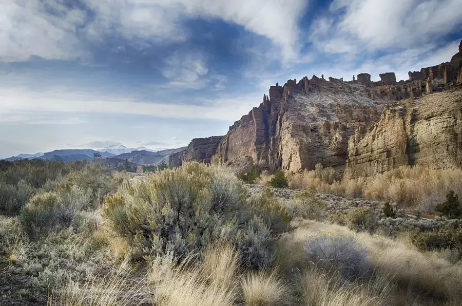
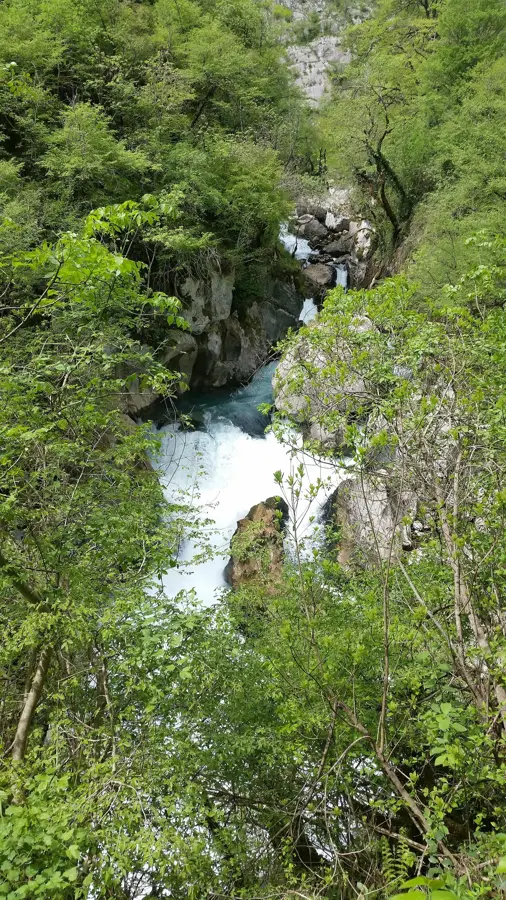
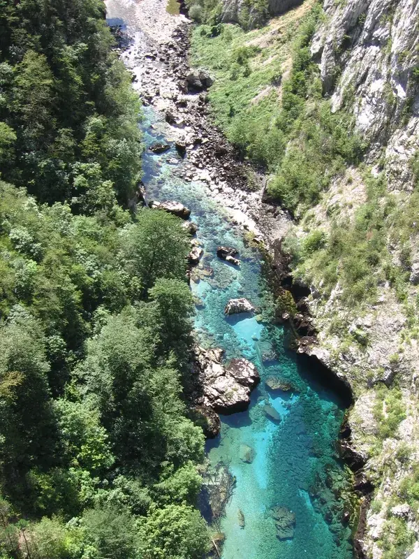
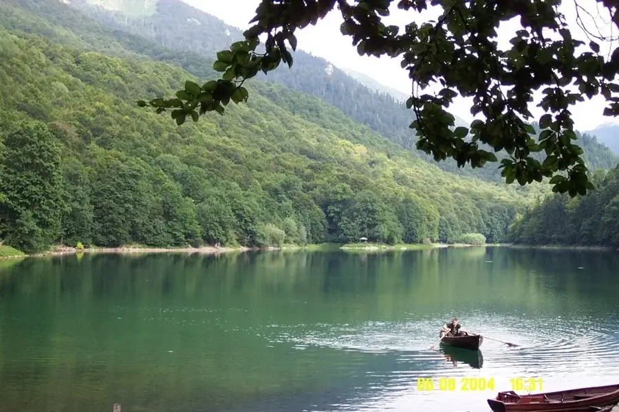
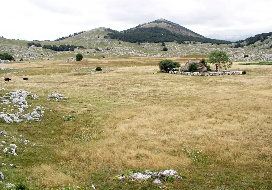
Kapetanovo Lake (Captain's Lake) is a photogenic glacial lake located in the Morača Mountains of central Montenegro, at an elevation of 1,678 meters. Formed by glacial activity, the lake is celebrated for its crystal-clear, deep blue waters and the surrounding jagged limestone cliffs. It reaches a maximum depth of approximately 37 meters and stretches about 480 meters in length. The lake's name is derived from a local legend about a Montenegrin army captain who was gifted the area as a reward for his military service. Nearby, traditional shepherd huts known as "katuns" are still used during the summer months, offering a glimpse into the region's ancient pastoral lifestyle. The surrounding landscape features a wealth of alpine flora and serves as a habitat for various birds of prey. Due to its isolated location, Kapetanovo Lake remains a serene and pristine destination, far removed from the country's major tourist trails.
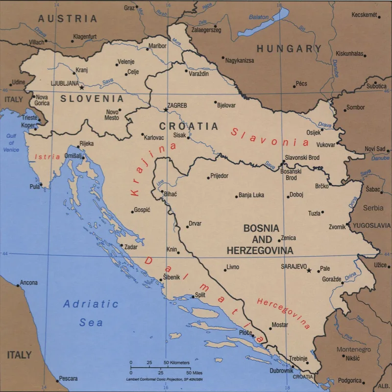
- Location: Montenegro
- Top sights: Mali Žurim · Veliki Žurim · Gackove grede
- Nearby: Župa Region (12 km)
Best time to visit & climate
The most pleasant time to visit is Jun–Aug.
| Jan | Feb | Mar | Apr | May | Jun | Jul | Aug | Sep | Oct | Nov | Dec | |
|---|---|---|---|---|---|---|---|---|---|---|---|---|
| Avg °C | -2 | -1 | 2 | 7 | 11 | 15 | 18 | 18 | 13 | 9 | 4 | -1 |
| Rain mm | 134 | 131 | 121 | 93 | 89 | 83 | 52 | 49 | 104 | 124 | 162 | 152 |
📋 Practical info
Geography
Facts
- Elevation of 1,678 meters
- Maximum depth of 37 meters
- Length of about 480 meters
- Glacial origin
- Located in the Morača Mountains
- Surrounded by traditional katuns
Explore nearby
Notable places around
Route planner — Car & Motorhome
Where do you start? We build the route here, with stops and country notes along the way.
© OpenStreetMap contributors · OpenRouteService
Sights in the town Kapetanovo Lake (3)
Sights nearby
Frequently asked questions
How do you reach Kapetanovo Lake?
Is the lake high in the mountains?
Why is it called 'Captain's Lake'?
Are there places to eat there?
Can you camp at the lake?
Kapetanovo Lake: where is it located?
Kapetanovo Lake: what is there to see?
Kapetanovo Lake: when is the best time to visit?
Kapetanovo Lake: why is it worth visiting?

Nearby cities


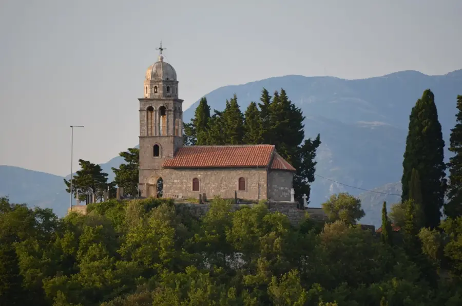


History & landmarks

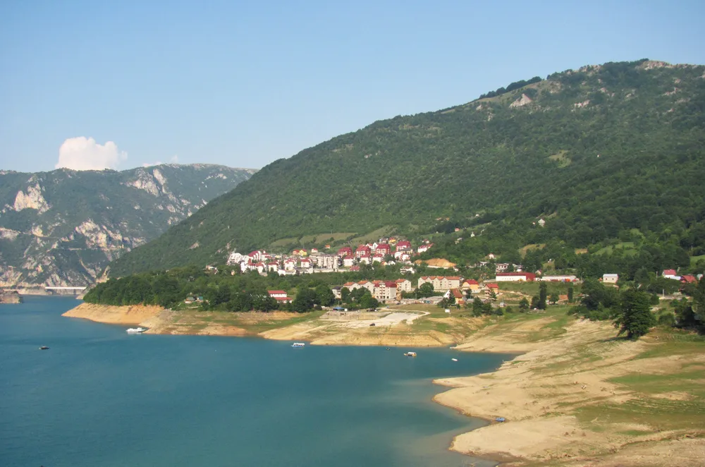
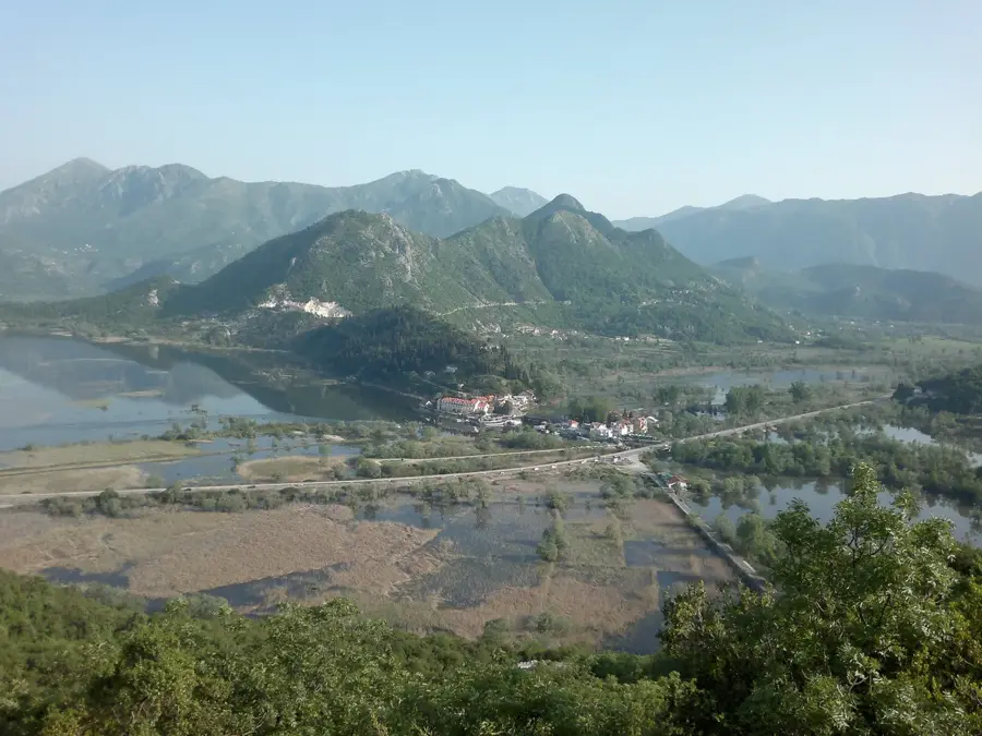
Nature

More places