Plizio Visual Lab
Savardak Pass

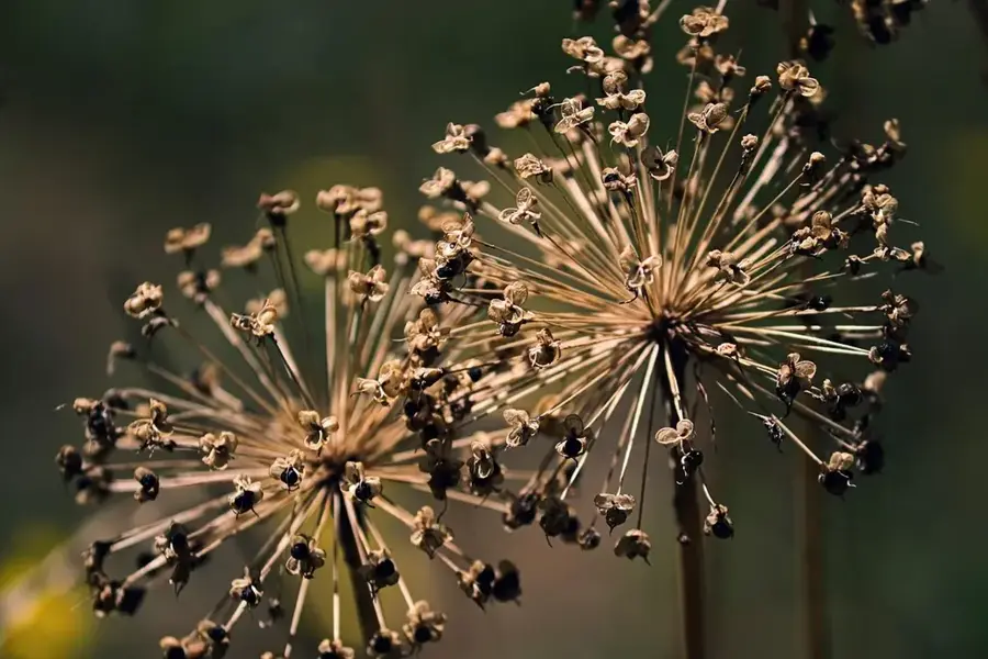
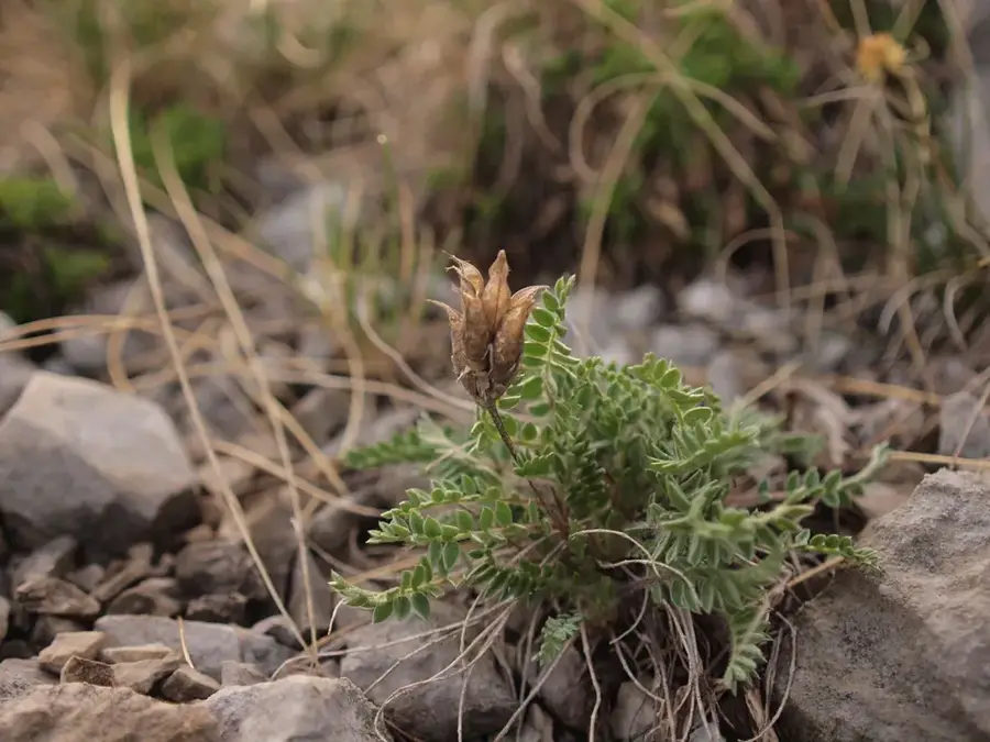
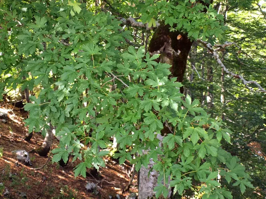
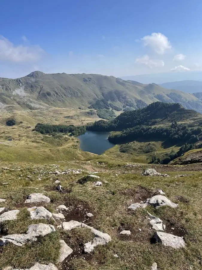
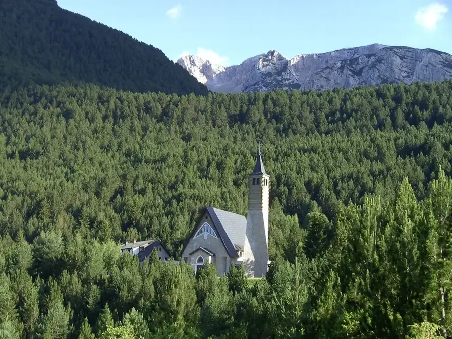
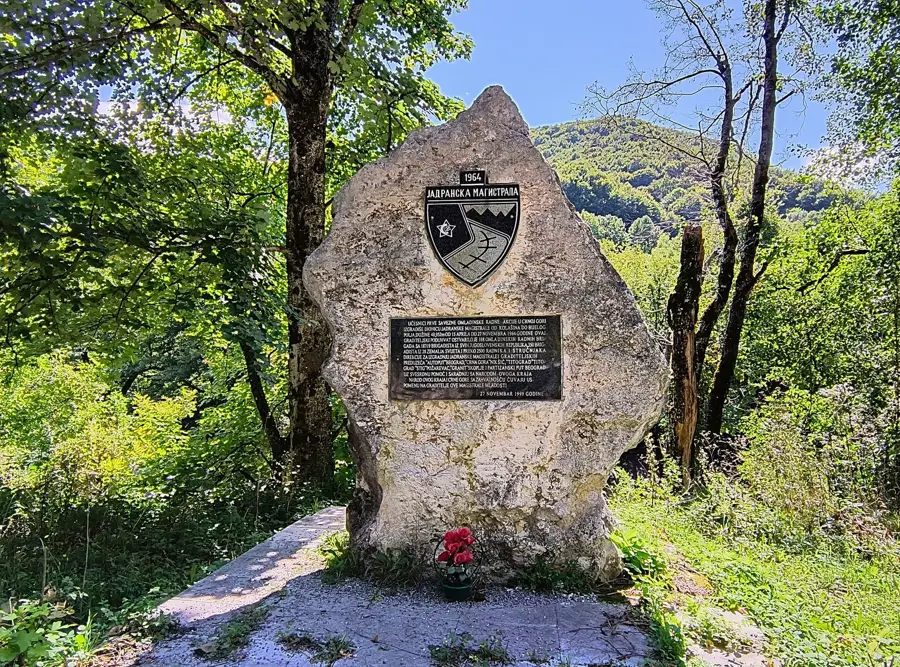
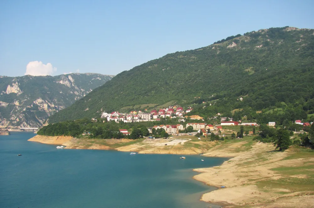
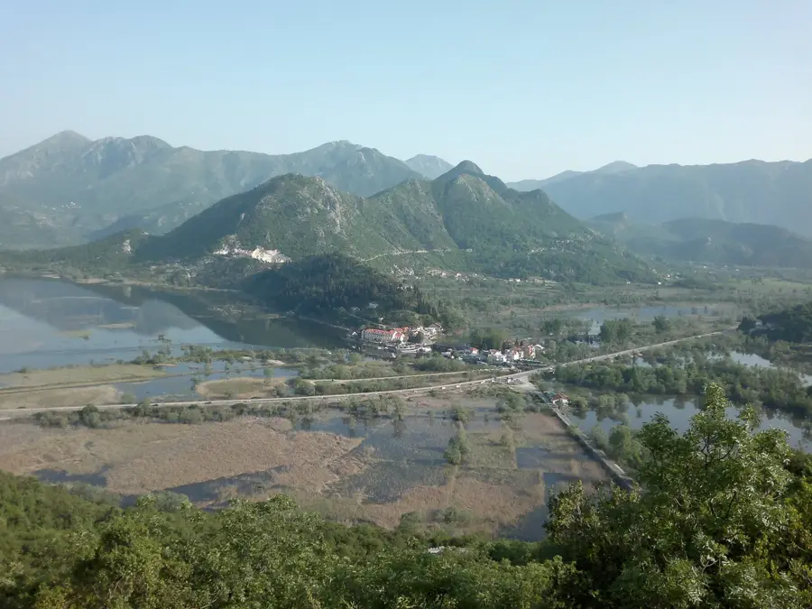
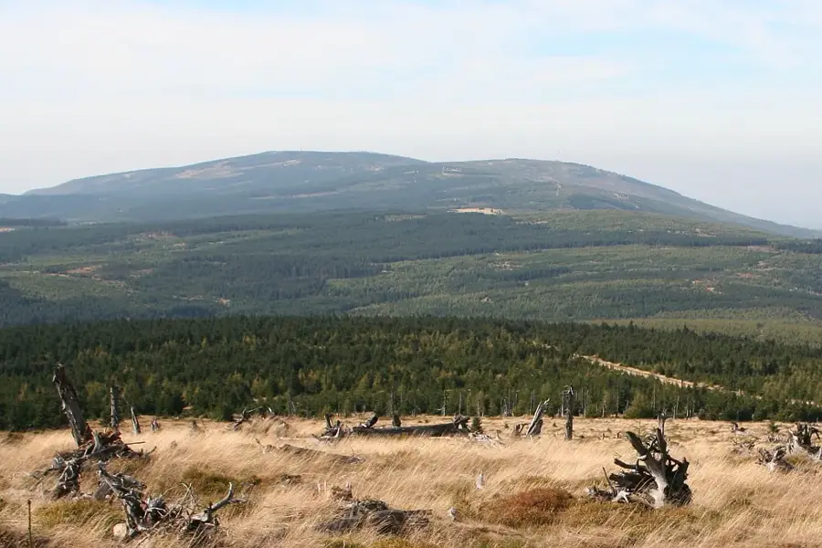
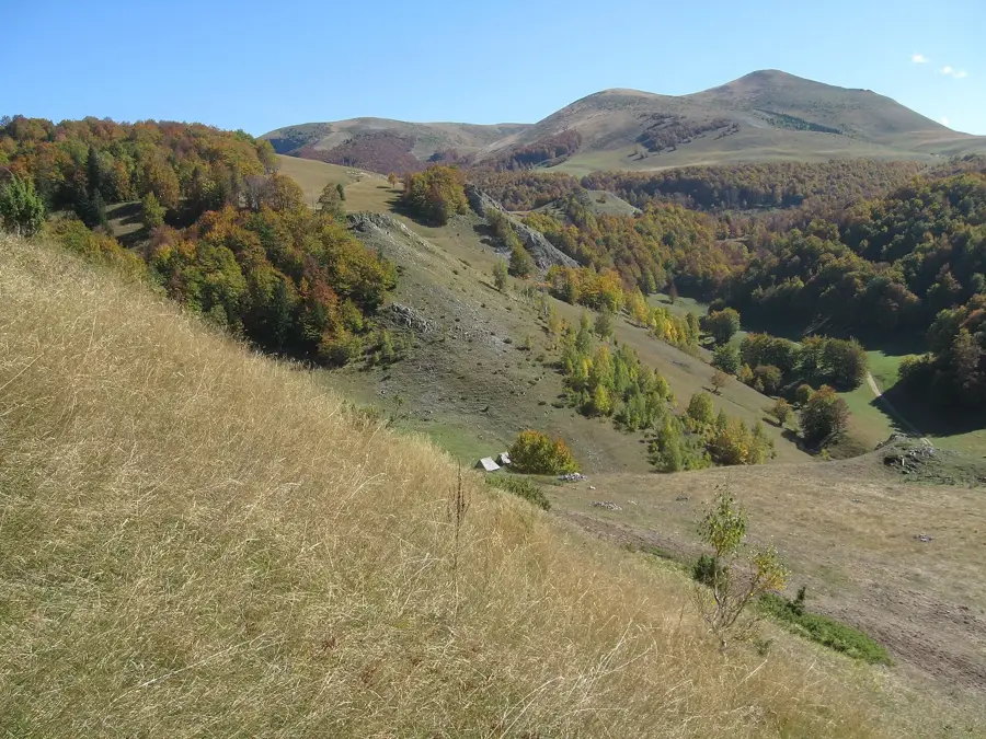
Savardak Pass is a strategically important mountain passage located in the Sinjajevina Mountains of northern Montenegro. Situated at a high elevation, the pass connects the highland plateaus of the Kolašin region with the deeper valleys of the country's interior. Its name is derived from the 'savardak,' a traditional circular Montenegrin dwelling historically used by shepherds as summer residences on the mountain pastures. Geologically, the region is part of Montenegro's largest karst plateau, characterized by vast, treeless grassy expanses and deep sinkholes. Historically, the pass was a crucial route for transhumance and local trade, linking isolated mountain villages with markets in the south. Extreme winter weather conditions often render the pass impassable for several months, highlighting the isolation of the surrounding high pastures. In summer, Savardak Pass is a paradise for hikers and mountain bikers seeking untouched nature and the silence of the barren mountain landscape. The local flora is specialized, consisting of alpine herbs and grasses capable of withstanding the harsh climatic conditions.
- Location: Montenegro
- Top sights: Tvrđava Barutana · Otašev lom · Muzej
- Nearby: Biogradska Gora (12 km)
Best time to visit & climate
The most pleasant time to visit is Jun–Aug.
| Jan | Feb | Mar | Apr | May | Jun | Jul | Aug | Sep | Oct | Nov | Dec | |
|---|---|---|---|---|---|---|---|---|---|---|---|---|
| Avg °C | -4 | -3 | 1 | 6 | 10 | 14 | 17 | 17 | 12 | 8 | 3 | -2 |
| Rain mm | 114 | 109 | 110 | 87 | 95 | 92 | 64 | 56 | 97 | 114 | 146 | 129 |
📋 Practical info
Geography
Facts
- Part of the Sinjajevina range, Europe's second-largest mountain pasture.
- Elevation is typically above 1600 meters above sea level.
- Named after the 'savardak', a traditional circular shepherd's hut.
- The region is characterized by extensive karst erosion features.
- Winter snow depths frequently exceed 2 meters in this pass.
- A significant waypoint on the Montenegrin Mountain Transversal trail.
Explore nearby
Notable places around
Route planner — Car & Motorhome
Where do you start? We build the route here, with stops and country notes along the way.
© OpenStreetMap contributors · OpenRouteService
Sights in the town Savardak Pass (6)
Bablja greda
Bablja greda, a mountain in Montenegro.
Durutovac
Durutovac, a mountain in Montenegro.
Sights nearby
Frequently asked questions
Where is the Savardak Pass located?
How difficult is the hike?
Are there places to eat there?
When is the best time to visit?
Are there parking spaces nearby?
Savardak Pass: where is it located?
Savardak Pass: what is there to see?
Savardak Pass: when is the best time to visit?
Savardak Pass: why is it worth visiting?

Nearby cities


History & landmarks

Nature

More places