Plizio Visual Lab
Hajla
Weather…
Water temperature…
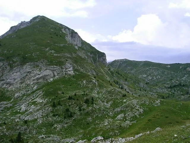
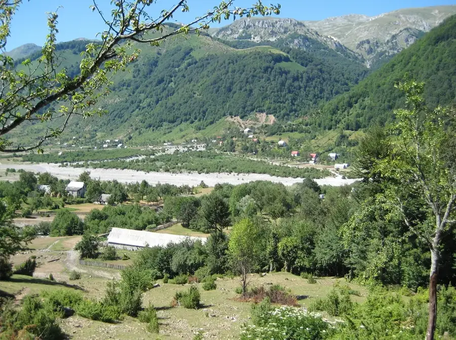
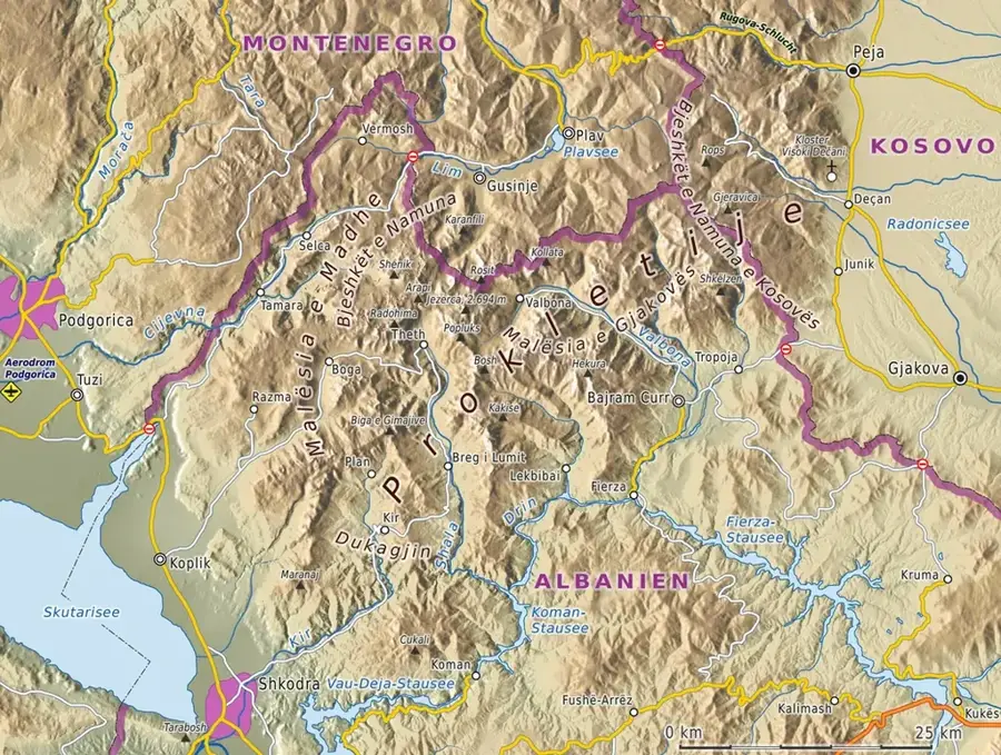
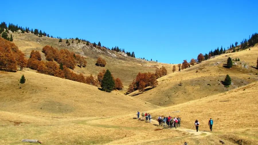
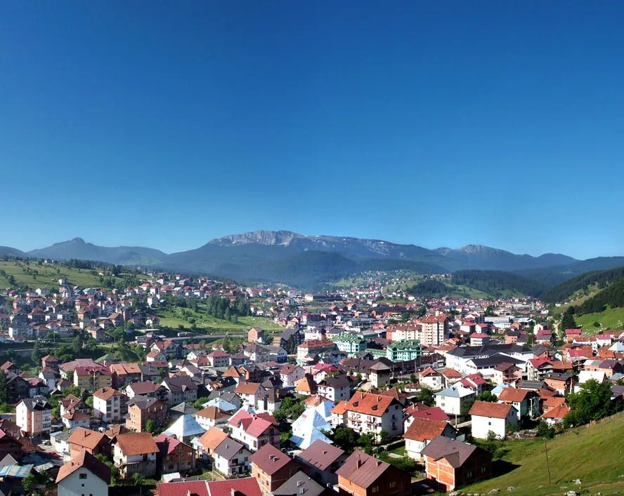
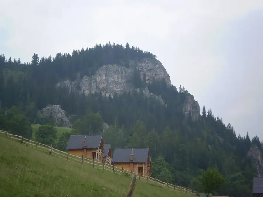
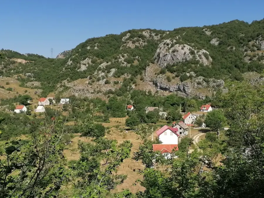
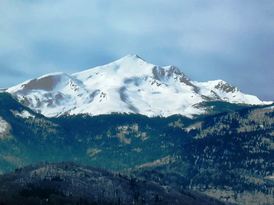
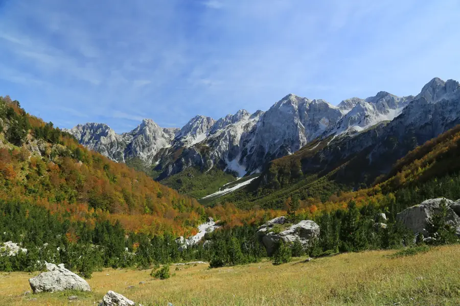
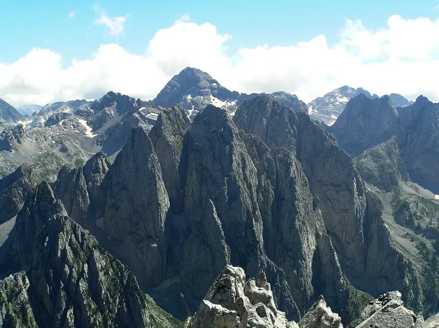
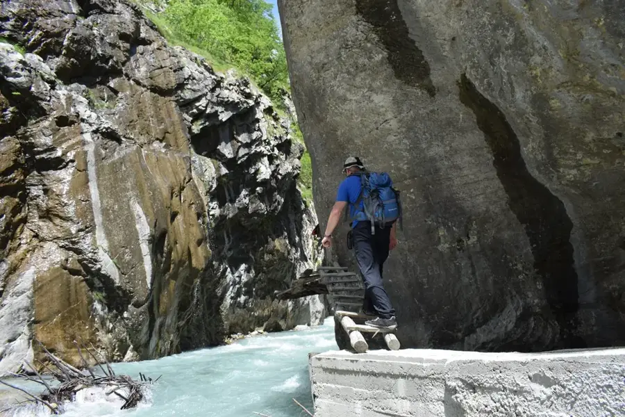
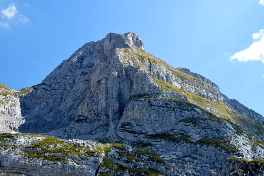
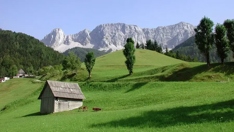
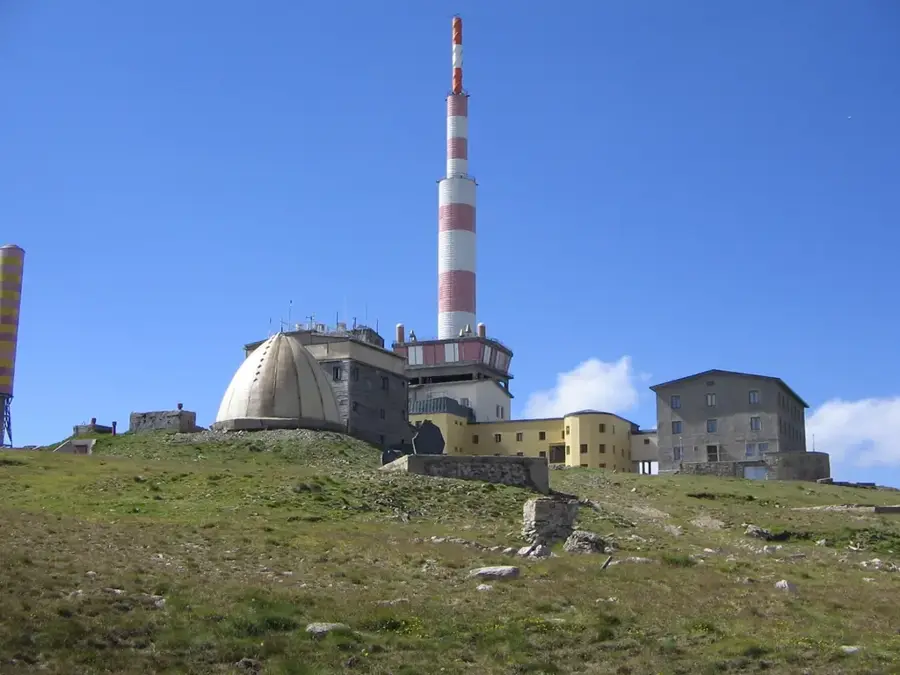
Hajla is an impressive mountain massif in the Prokletije range, forming the natural border between Montenegro and Kosovo. Its highest peak reaches an elevation of 2,403 meters and is famous for its prominent, almost vertical rock wall on the Kosovo side. The geology of the mountain consists predominantly of limestone, resulting in numerous karst formations and a rugged landscape. Hajla is ecologically extremely valuable, hosting rare plant species such as edelweiss varieties and various endemic mountain herbs. Historically, the region was an important passage for shepherds and traders, evidenced by old paths and seasonal settlements. Today, Hajla is a popular destination for mountaineers, with the ascent from the Montenegrin side (Rožaje) considered technically less demanding but scenically outstanding.
- Location: Montenegro
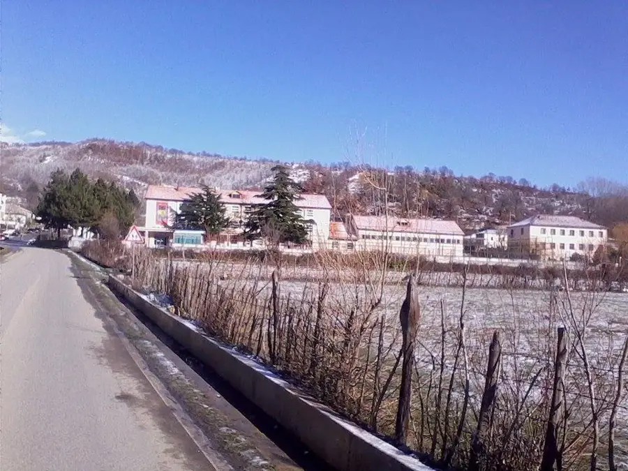
- Nearby: Rožaje (10 km)
Best time to visit & climate
The most pleasant time to visit is Jun–Aug.
| Jan | Feb | Mar | Apr | May | Jun | Jul | Aug | Sep | Oct | Nov | Dec | |
|---|---|---|---|---|---|---|---|---|---|---|---|---|
| Avg °C | -4 | -2 | 1 | 6 | 11 | 15 | 17 | 18 | 13 | 8 | 3 | -2 |
| Rain mm | 91 | 86 | 94 | 81 | 99 | 94 | 70 | 61 | 87 | 97 | 114 | 101 |
📋 Practical info
Geography
Facts
- Highest peak: 2,403 meters
- Mountain range: Prokletije
- Border mountains between Montenegro and Kosovo
- Geological material: limestone
- Rare flora: presence of edelweiss
- Nearest Montenegrin town: Rožaje
Explore nearby
Notable places around
Route planner — Car & Motorhome
Where do you start? We build the route here, with stops and country notes along the way.
© OpenStreetMap contributors · OpenRouteService
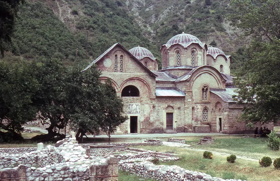
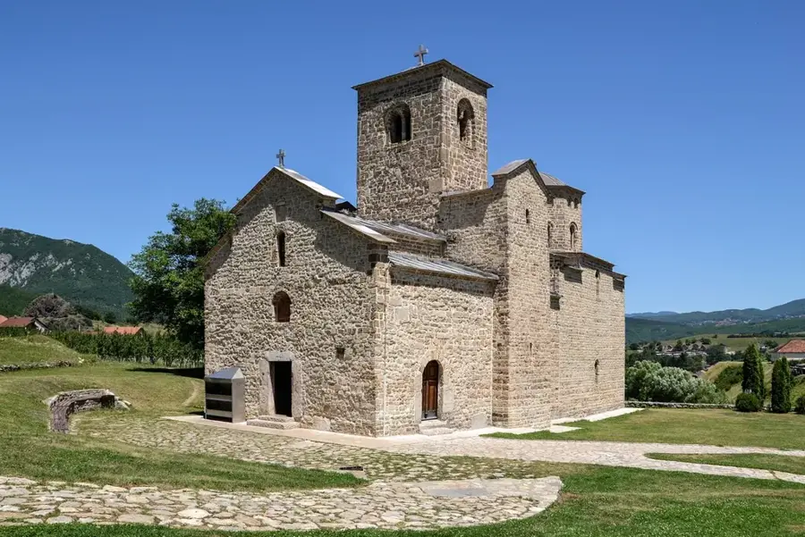
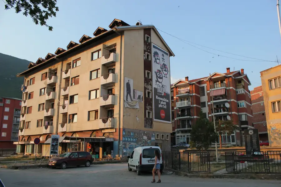
Sights in the town Hajla (1)
Sights nearby
Frequently asked questions
How high is Hajla?
Does the border run there?
Are there mountain huts there?
What is the best season for a climb?
Is the flora special there?
Hajla: where is it located?
Hajla: when is the best time to visit?
Hajla: why is it worth visiting?

Nearby cities

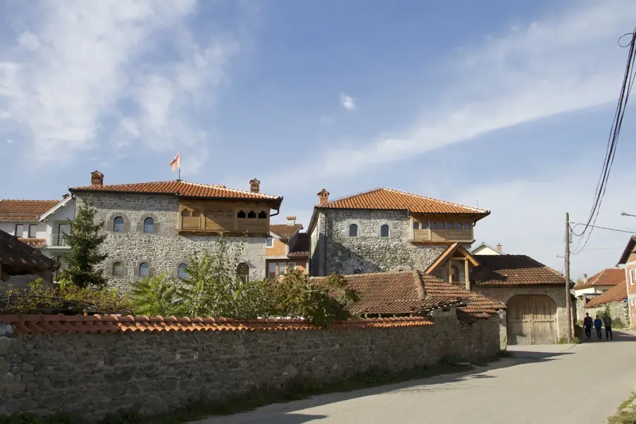

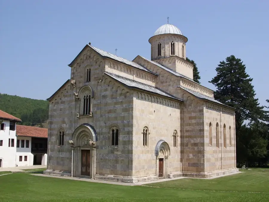
History & landmarks
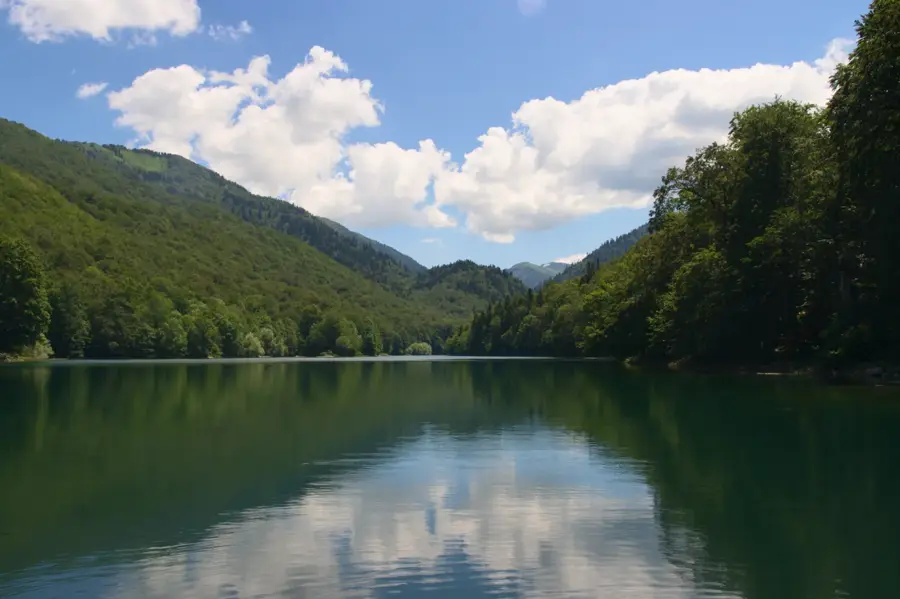
Nature
More places