Plizio Visual Lab
Birgo Mountains

Weather…
Water temperature…
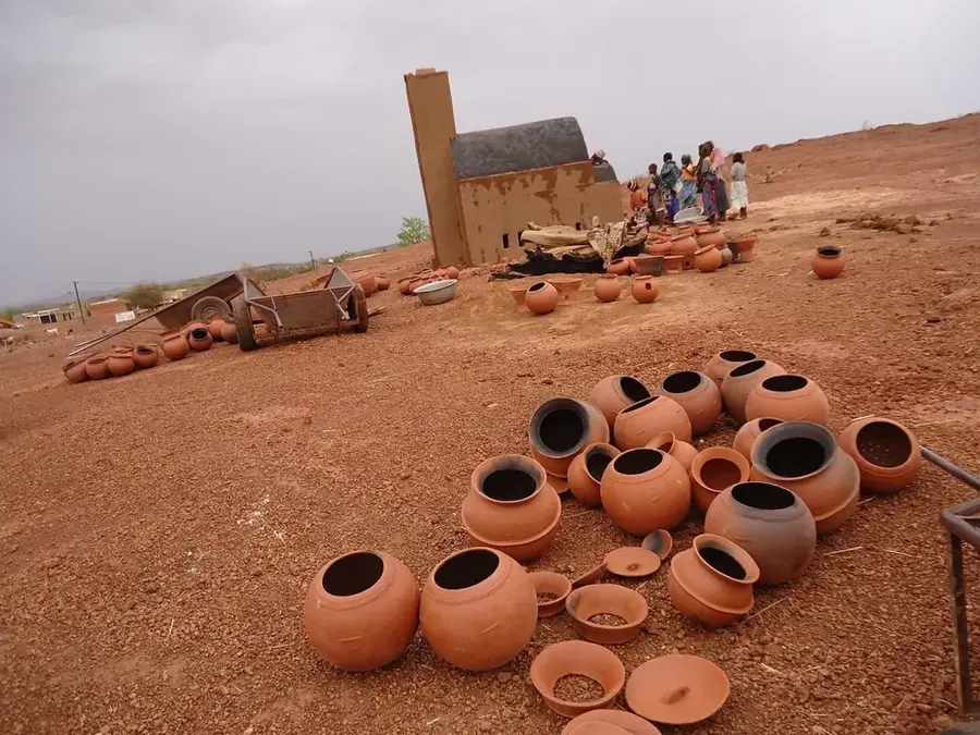
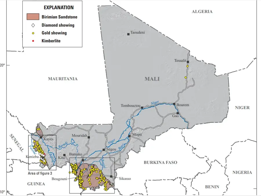
The Birgo Mountains are a rugged highland region located in western Mali, situated between the basins of the Bafing and Bakoy rivers in the Bafoulabé district. This geological formation consists of ancient sandstone plateaus and lateritic hills that reach elevations of up to 450 meters above sea level. Historically, the Birgo region was an integral part of the Mali Empire's western territories, serving as a buffer zone and a source of mineral resources. The mountains are known for their significant iron ore deposits, which have attracted geological interest for potential industrial development in the modern era. The landscape is characterized by deep ravines and seasonal waterfalls that appear during the monsoon season, providing essential water for local agriculture. The Birgo's remote location has preserved its traditional cultural heritage, with local communities practicing subsistence farming and livestock herding. As part of the broader Fouta Djallon foothills, the mountains play a crucial role in the regional climate and the distribution of water resources in the upper Senegal river basin.
- Location: Mali
- Nearby: Kita (82 km)
Best time to visit & climate
The most pleasant time to visit is Jan, Nov, Dec.
| Jan | Feb | Mar | Apr | May | Jun | Jul | Aug | Sep | Oct | Nov | Dec | |
|---|---|---|---|---|---|---|---|---|---|---|---|---|
| Avg °C | 25 | 28 | 31 | 33 | 33 | 29 | 26 | 25 | 25 | 26 | 25 | 24 |
| Rain mm | 2 | 2 | 16 | 17 | 59 | 163 | 249 | 358 | 235 | 82 | 5 | 1 |
📋 Practical info
Geography
Facts
- Located between the Bafing and Bakoy river drainage basins.
- Average elevations reach 450 meters in the highland areas.
- Part of the Bafoulabé district within the western Kayes region.
- Contains significant iron ore deposits for potential future mining.
- Historical territory of the pre-colonial Mali Empire provinces.
- The rugged landscape features seasonal waterfalls and deep gorges.
Explore nearby
Notable places around
Route planner — Car & Motorhome
Where do you start? We build the route here, with stops and country notes along the way.
© OpenStreetMap contributors · OpenRouteService
Sights nearby
Frequently asked questions
How demanding is Birgo-Gebirge?
Is there water there?
When should you go?
Is photography a highlight?
Is a guide necessary?
Birgo Mountains: where is it located?
Birgo Mountains: when is the best time to visit?
Birgo Mountains: why is it worth visiting?

Nearby cities

History & landmarks
More places