Plizio Visual Lab
Manantali Dam

Weather…
Water temperature…
The Manantali Dam on the Bafing River is a masterpiece of hydraulic engineering and a symbol of West African regional cooperation under the Senegal River Basin Development Organization (OMVS). Built between 1982 and 1988, this multipurpose dam serves the collective interests of Mali, Senegal, and Mauritania by providing hydroelectric power, stabilizing river flow for navigation, and supporting large-scale irrigation schemes. The facility hosts a 200 MW power station that feeds a sophisticated regional grid, delivering clean energy to major urban centers and mining operations across the member states. Its massive reservoir, spanning hundreds of square kilometers and holding over 11 billion cubic meters of water, acts as a critical buffer against the perennial droughts of the Sahel, ensuring a year-round water supply for agricultural development. The dam's impact is transformative, enabling the irrigation of over 250,000 hectares of land downstream and facilitating navigation from the Malian border to the Atlantic coast. Despite the environmental complexities associated with such a large-scale project, Manantali remains the cornerstone of Mali's energy strategy and a vital asset for the socio-economic integration of the Senegal River basin, showcasing the benefits of shared water management in an increasingly water-scarce world.
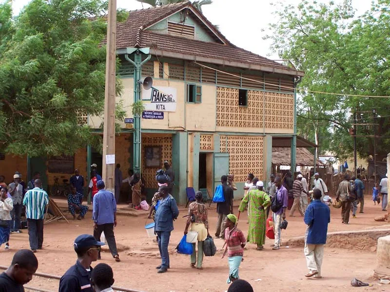
- Location: Mali
- Nearby: Bafoulabé (82 km)
Best time to visit & climate
The most pleasant time to visit is Jan, Nov, Dec.
| Jan | Feb | Mar | Apr | May | Jun | Jul | Aug | Sep | Oct | Nov | Dec | |
|---|---|---|---|---|---|---|---|---|---|---|---|---|
| Avg °C | 25 | 28 | 31 | 33 | 34 | 30 | 27 | 26 | 26 | 26 | 25 | 24 |
| Rain mm | 1 | 2 | 5 | 9 | 45 | 152 | 247 | 342 | 237 | 77 | 4 | 0 |
📋 Practical info
Geography
Facts
- Power Capacity: 200 MW installed hydroelectric power
- Reservoir Volume: Holds approximately 11.3 billion cubic meters
- Construction Period: 1982–1988 for the main structure
- Dam Length: 1,460 meters spanning the Bafing River
- Management: Operated under the tri-national OMVS treaty
- Impact: Critical for navigation and drought mitigation in Sahel
Explore nearby
Notable places around
Route planner — Car & Motorhome
Where do you start? We build the route here, with stops and country notes along the way.
© OpenStreetMap contributors · OpenRouteService
Sights in the town Manantali Dam (1)
Sights nearby
Frequently asked questions
What is the main purpose of the Manantali dam?
Is the dam interesting for tourists?
Can one visit the reservoir?
What has changed for the region due to the dam?
Where exactly is the Manantali dam located?
Manantali Dam: where is it located?
Manantali Dam: when is the best time to visit?
Manantali Dam: why is it worth visiting?

More places