Plizio Visual Lab
Kaarta Plateau

Weather…
Water temperature…
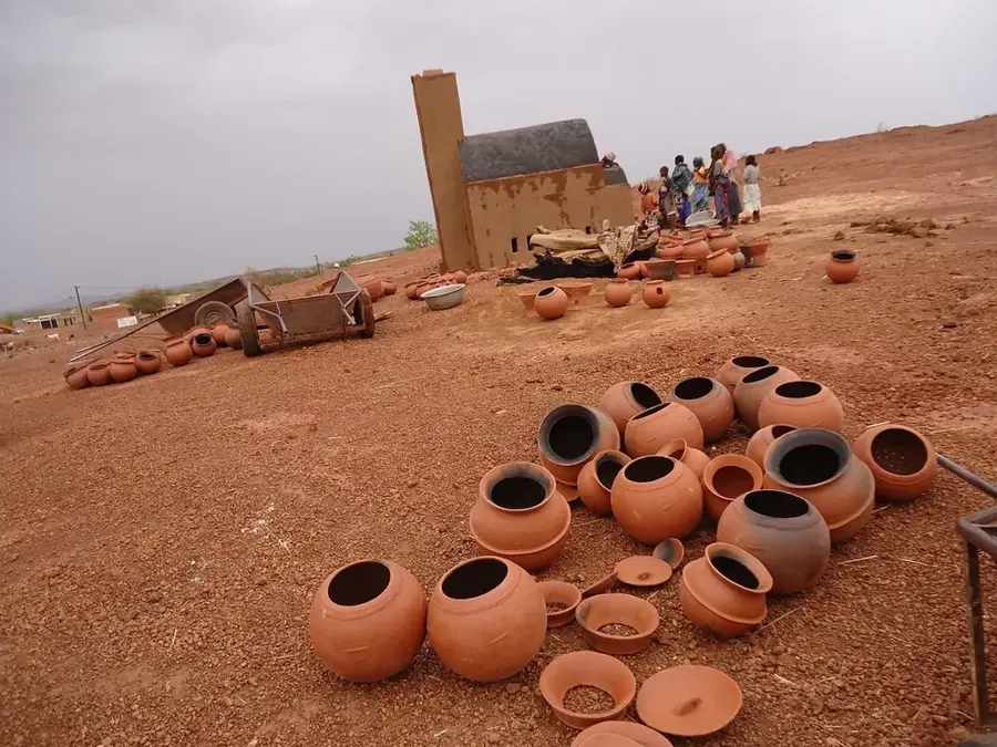
The Kaarta Plateau is a vast upland region in western Mali, historically significant as the center of the Bambara Kingdom of Kaarta during the 18th and 19th centuries. Geographically, the area is characterized by a rugged terrain of sandstone formations, steep escarpments, and deep ravines that provided natural defenses throughout history. The plateau maintains an average elevation between 300 and 500 meters, rising sharply above the surrounding Sahelian plains. The region experiences a semi-arid climate, with vegetation consisting mainly of acacia trees and drought-resistant shrubs adapted to prolonged dry seasons. Archaeological findings suggest that the plateau has been inhabited since prehistoric times, when the environmental conditions were significantly wetter than today. In modern times, the Kaarta Plateau serves as a critical grazing ground for nomadic pastoralists, though its remote location and difficult terrain present significant challenges for infrastructure development.
- Location: Mali
- Nearby: Nioro du Sahel (27 km)
Best time to visit & climate
The most pleasant time to visit is Jan, Feb, Dec.
| Jan | Feb | Mar | Apr | May | Jun | Jul | Aug | Sep | Oct | Nov | Dec | |
|---|---|---|---|---|---|---|---|---|---|---|---|---|
| Avg °C | 22 | 25 | 29 | 33 | 35 | 33 | 29 | 27 | 28 | 28 | 26 | 22 |
| Rain mm | 1 | 1 | 0 | 5 | 19 | 96 | 182 | 251 | 152 | 37 | 1 | 0 |
📋 Practical info
Geography
Facts
- The plateau was the heartland of the Kaarta Kingdom (c. 1650–1854).
- The average elevation of the plateau ranges between 300 and 500 meters.
- The geological base is composed of Paleozoic sandstone formations.
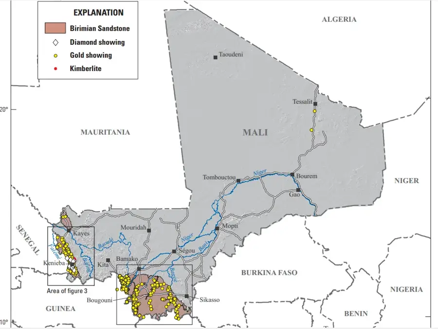
- Administratively, the region falls mostly within the Kayes Region of Mali.
- Annual rainfall in the area is often lower than 500 mm.
- Nioro du Sahel, located at the edge of the plateau, is a key religious center.
Explore nearby
Notable places around
Route planner — Car & Motorhome
Where do you start? We build the route here, with stops and country notes along the way.
© OpenStreetMap contributors · OpenRouteService
Sights nearby
Frequently asked questions
How challenging is hiking on the Kaarta-Plateau?
What is the best time to visit?
Are there parking facilities at Kaarta-Plateau?
Are there toilets or restaurants on site?
What is the weather risk on the plateau?
Kaarta Plateau: where is it located?
Kaarta Plateau: when is the best time to visit?
Kaarta Plateau: why is it worth visiting?

Nearby cities

History & landmarks
More places