Plizio Visual Lab
Bafoulabé
ℹ️Practical info — Bafoulabé
▾
🌤 Weather — 5 days
📍 Nearby
Sights nearby
💡 Tips
- Visit the confluence where the Bafing and Bakoy rivers meet to form the Senegal River; locals believe the water has special properties here.
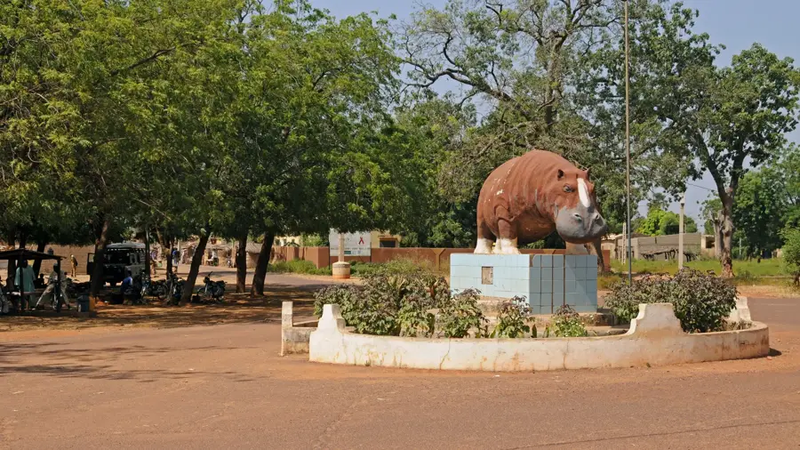
- The famous legend of "Mali-Sadio" (the hippopotamus) originated here; ask locals to tell you the story.
- The town is very rural and facilities are basic; bring essential medications and mosquito repellent.
- River crossings might rely on small motorized pirogues or a local ferry, which runs on a flexible schedule.
🍽 Food
Nile perch caught fresh from the rivers, usually grilled or stewed at small riverside spots.
A rich peanut butter stew usually served with rice.
A cold hibiscus drink excellent for the intense Malian heat.
🛍 Shopping · 🧘 Quiet spots
Buy directly from the fishermen bringing in their daily catch in the morning.
Mud cloth, occasionally traded in local markets, though more common in larger cities.
Sit quietly at the riverbank where the two rivers meet.
Take a peaceful boat ride on the calm stretches of the Bakoy or Bafing.
Water temperature…
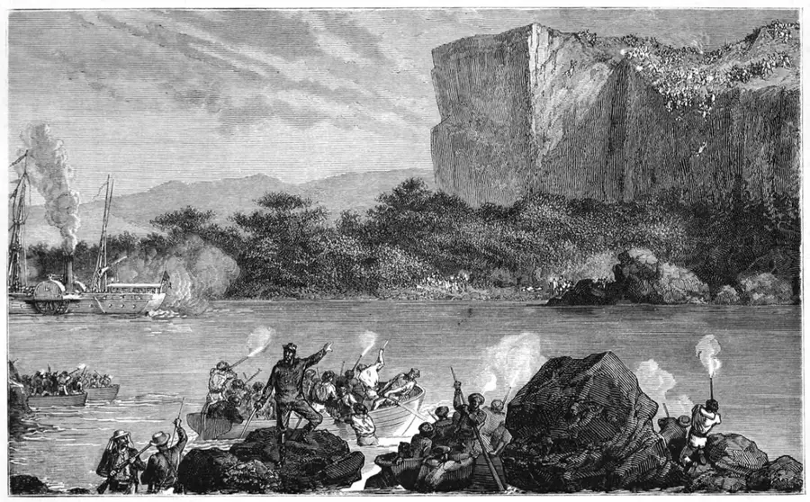
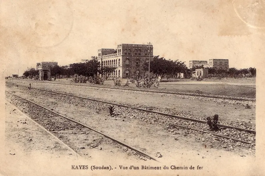
Bafoulabé is a historically significant town in the Kayes Region of western Mali, famous as the site where the Bafing and Bakoy rivers converge to form the Senegal River. Its name translates from the Bambara language as 'meeting of two rivers,' perfectly describing its geographical setting. In 1880, French officer Joseph Gallieni established the first 'cercle' of French Sudan here, marking the beginning of formal colonial administration in the territory. The town played a crucial role during the expansion of the Dakar-Niger railway, which opened the region to wider trade and development in the late 19th century. Today, Bafoulabé serves as an administrative hub where the local economy revolves around agriculture and fishing, heavily influenced by the Manantali Dam located upstream on the Bafing. The surrounding terrain features the northern foothills of the Fouta Djallon highlands, creating a dramatic backdrop for the river confluence.
- Location: Mali
- Top sights: Bafing River · Bakoy River · Bafing National Park
- Population: ~26.823 (2026)
Best time to visit & climate
The most pleasant time to visit is Jan, Nov, Dec.
| Jan | Feb | Mar | Apr | May | Jun | Jul | Aug | Sep | Oct | Nov | Dec | |
|---|---|---|---|---|---|---|---|---|---|---|---|---|
| Avg °C | 24 | 28 | 31 | 34 | 35 | 32 | 28 | 27 | 27 | 27 | 26 | 24 |
| Rain mm | 0 | 0 | 1 | 1 | 18 | 86 | 197 | 284 | 200 | 52 | 2 | 0 |
Geography
Facts
- Established as the first French administrative post in Sudan in 1880.
- The name is derived from the Bambara words 'Bâ' (river) and 'Fila' (two).
- This is the official starting point of the 1,790 km long Senegal River.
- Home to the famous 'Mali-Sadio' legend involving a mythical hippopotamus.
- The area is a major producer of gum arabic and groundnuts in Mali.
- Located roughly 90 kilometers southeast of the regional capital, Kayes.
Explore nearby
Notable places around
Route planner — Car & Motorhome
Where do you start? We build the route here, with stops and country notes along the way.
© OpenStreetMap contributors · OpenRouteService
Frequently asked questions
How long should I stay in Bafoulabé?
When is the best time to visit Bafoulabé?
Is Bafoulabé a family-friendly destination?
What are local specialties in Bafoulabé?
What is the best way to get to Bafoulabé?
Bafoulabé: where is it located?
Bafoulabé: what is there to see?
Bafoulabé: when is the best time to visit?
Bafoulabé: why is it worth visiting?

Nearby cities

History & landmarks
More places