Plizio Visual Lab
Diéma
ℹ️Practical info — Diéma
▾
🌤 Weather — 5 days
📍 Nearby
Sights nearby
💡 Tips
- As a major transit hub, Diéma can be busy with trucks; exercise caution when walking along the main road.
- Dress modestly, covering shoulders and knees, to respect the local Islamic culture.
- Water availability can be limited, so always carry your own bottled water, especially if continuing to Senegal.
- Try to travel during daylight hours, as the roads outside the town are poorly lit at night.
🍽 Food
A rich meat dish cooked in peanut sauce, available at local maquis (eateries).
Flavorful rice cooked with meat and vegetables, a common and filling street food.
A traditional breakfast option often served with curdled milk.
🛍 Shopping · 🧘 Quiet spots
The main market is great for buying roasted peanuts and dried fruits for your onward journey.
Look for brightly colored Malian bazin fabrics in the market stalls.
Take a short walk away from the busy main transit road to experience the quieter, traditional village atmosphere.
Outside prayer times, the area around the mosque can be a peaceful spot for reflection.
Water temperature…
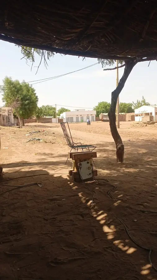
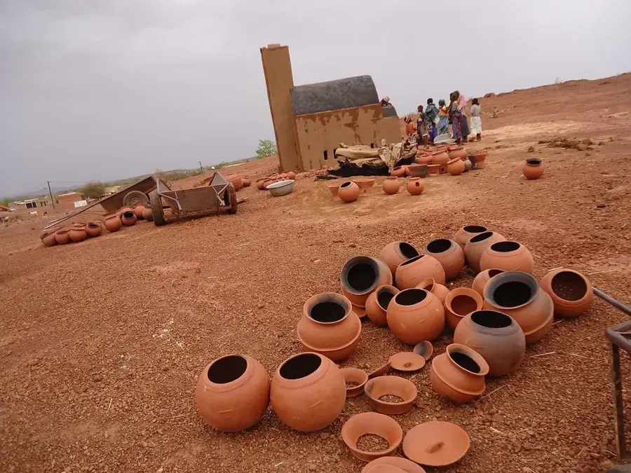
Diéma is a strategically located town in the Kayes Region of western Mali, serving as a vital crossroads for national and international transport. It sits at the junction of National Route 1, which connects the capital Bamako to the western city of Kayes, and the primary road leading north toward the Mauritanian border. Thanks to this position, Diéma has evolved into a bustling commercial hub, particularly famous for its livestock markets and agricultural trade. The surrounding landscape consists of semi-arid savanna, where local farmers primarily cultivate millet, sorghum, and groundnuts despite the challenging Sahelian climate. In recent years, the town has seen significant growth due to infrastructure improvements that have streamlined trade with Senegal and Mauritania. As the administrative center of the Diéma Cercle, it supports a diverse population of Bambara, Soninké, and Fula peoples, fostering a rich multicultural environment.
- Location: Mali
- Population: ~30.592 (2024)
Best time to visit & climate
The most pleasant time to visit is Jan, Feb, Dec.
| Jan | Feb | Mar | Apr | May | Jun | Jul | Aug | Sep | Oct | Nov | Dec | |
|---|---|---|---|---|---|---|---|---|---|---|---|---|
| Avg °C | 23 | 26 | 30 | 33 | 35 | 33 | 29 | 27 | 27 | 28 | 26 | 24 |
| Rain mm | 1 | 0 | 0 | 10 | 22 | 66 | 162 | 232 | 138 | 29 | 1 | 0 |
Geography
Facts
- Major transit point on the RN1 highway connecting Bamako to Kayes.
- Located approximately 350 kilometers northwest of the capital city, Bamako.
- Administrative seat of the Diéma Cercle within the Kayes Region.
- Acts as a key gateway for road transport heading toward Mauritania.
- The climate is semi-arid, typical of the southern Sahelian zone.
- Known for its significant role in the regional livestock and grain trade.
Explore nearby
Notable places around
Route planner — Car & Motorhome
Where do you start? We build the route here, with stops and country notes along the way.
© OpenStreetMap contributors · OpenRouteService
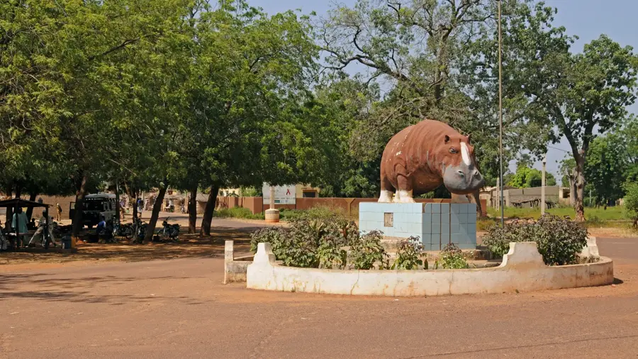
Sights in the town Diéma (1)
Frequently asked questions
How long should I stay in Diéma?
What is the best time to visit Diéma?
Are there local markets in Diéma?
Is Diéma easily accessible for tourists?
What should I keep in mind about Diéma?
Diéma: where is it located?
Diéma: when is the best time to visit?
Diéma: why is it worth visiting?

Nearby cities

History & landmarks
More places