Plizio Visual Lab
Mount Sarro

Weather…
Water temperature…
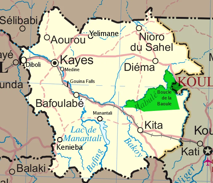
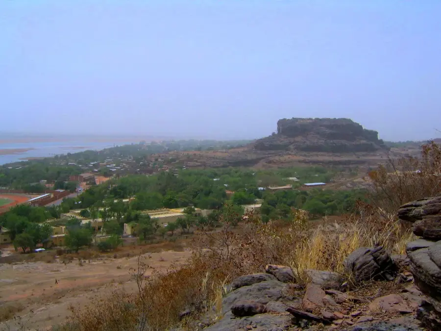
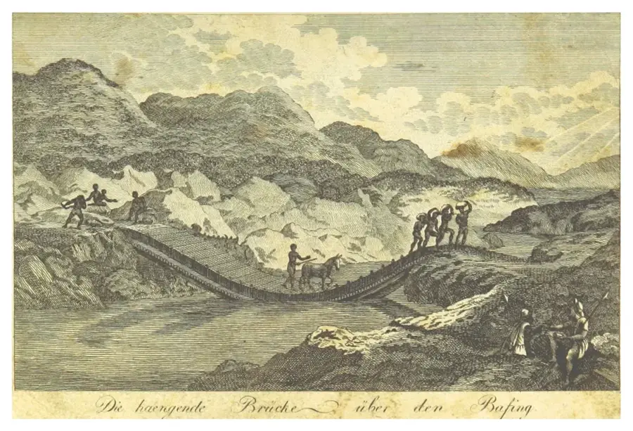
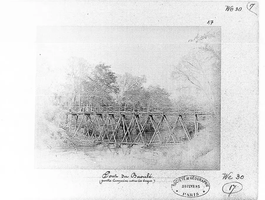
Mount Sarro is a distinctive geological formation in western Mali, located in the Kayes region between the Bafing and Bakoy rivers. Reaching an elevation of approximately 650 meters above sea level, it is a significant part of the Manding Plateau. The mountain is primarily known for its rugged sandstone cliffs and deep, forested gorges that host unique flora and fauna. Geologically, Mount Sarro consists of ancient sedimentary layers sculpted by erosion over millions of years. For the local Malinke people, the mountain holds deep spiritual significance and is the setting for numerous traditional myths and rites. Historically, it served as a natural refuge and a strategic vantage point during the expansion of the Mali Empire. The region's climate is Sudano-Sahelian, leading to strong seasonality in vegetation; during the rainy season, the slopes transform into a lush green. Rare orchid species and endemic succulents are found in the gorges, thriving exclusively in this microclimate. The mountain is also an important watershed, with its springs feeding several streams indispensable for small-scale agriculture in the valleys. Despite its significance to the local ecosystem, Mount Sarro remains a low-key spot for naturalists and hikers due to its relative inaccessibility.
- Location: Mali
- Nearby: Kita (59 km)
Best time to visit & climate
The most pleasant time to visit is Jan, Nov, Dec.
| Jan | Feb | Mar | Apr | May | Jun | Jul | Aug | Sep | Oct | Nov | Dec | |
|---|---|---|---|---|---|---|---|---|---|---|---|---|
| Avg °C | 25 | 28 | 31 | 33 | 33 | 30 | 26 | 25 | 25 | 26 | 26 | 24 |
| Rain mm | 1 | 1 | 9 | 22 | 61 | 162 | 251 | 339 | 219 | 74 | 4 | 0 |
📋 Practical info
Geography
Facts
- Elevation of approx. 650 meters above sea level
- Located in the Kayes region of western Mali
- Composed of geologically ancient sandstone
- Home to rare and endemic succulent species
- Historic vantage point of the Mali Empire
- Key watershed situated between Bafing and Bakoy
Explore nearby
Notable places around
Route planner — Car & Motorhome
Where do you start? We build the route here, with stops and country notes along the way.
© OpenStreetMap contributors · OpenRouteService
Sights nearby
Frequently asked questions
Is Mont Sarro an easy hiking mountain?
How is the view from the summit?
Are there dangerous animals?
Is the summit safe for kids?
Where is the best place to park?
Mount Sarro: where is it located?
Mount Sarro: when is the best time to visit?
Mount Sarro: why is it worth visiting?

Nearby cities

Nature
More places